Garrett Fisher

Author, Pilot, & Adventurer

Email subscription form header
Subscribe
Your email address:*
Please wait...
Please enter all required fields Click to hide
Correct invalid entries Click to hide
Powered by FeedBlitz
  • Writings
  • Documentary & Interview
  • Press
  • Economics
  • Maps
  • Flying Videos
  • TEDx Talk: Forget Economics
  • About Me

Powered by Genesis

Archives for September 2015

Event: “Flying the Rockies of Colorado,” Frisco CO, Oct 8th

September 29, 2015 by Garrett

On Thursday October 8th, at 7PM, I will be giving a presentation “Flying the Rockies of Colorado” at Evo3 Workspace in Frisco, CO. In the heart of Summit County, and where all this aviation mountain madness began two years ago, the presentation will consist of a slideshow of stunning aerial photography of the High Rockies area as well as personal accounts of flying the entirety of the region in a little old airplane that weighs less than 800 pounds, no heat, and less than 100 horsepower. I’ll share some of my previously undisclosed work in the slideshow.

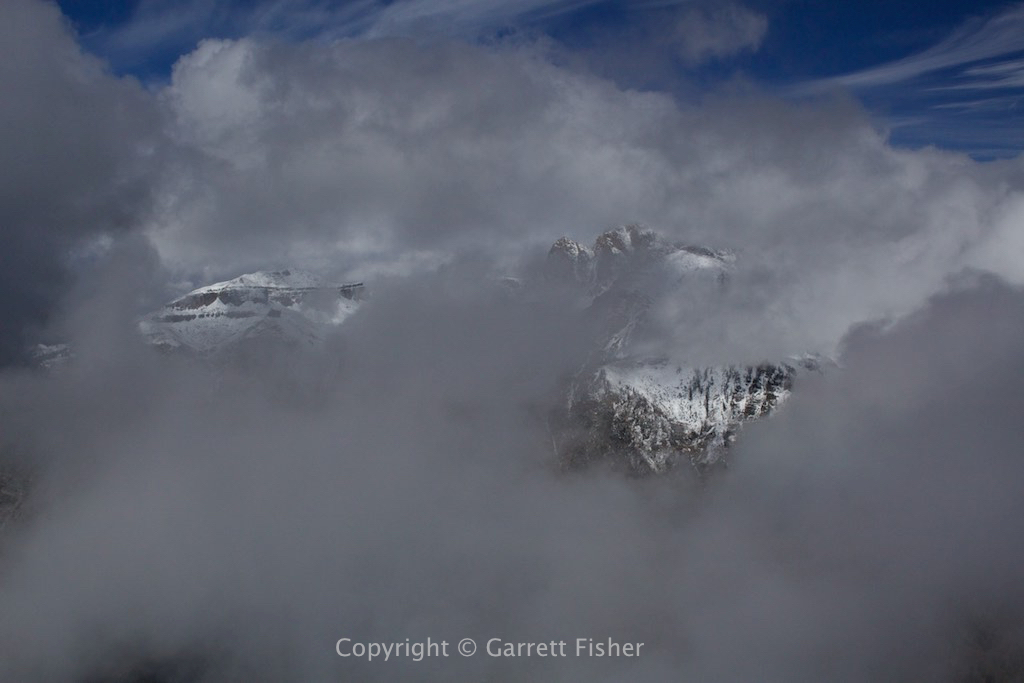
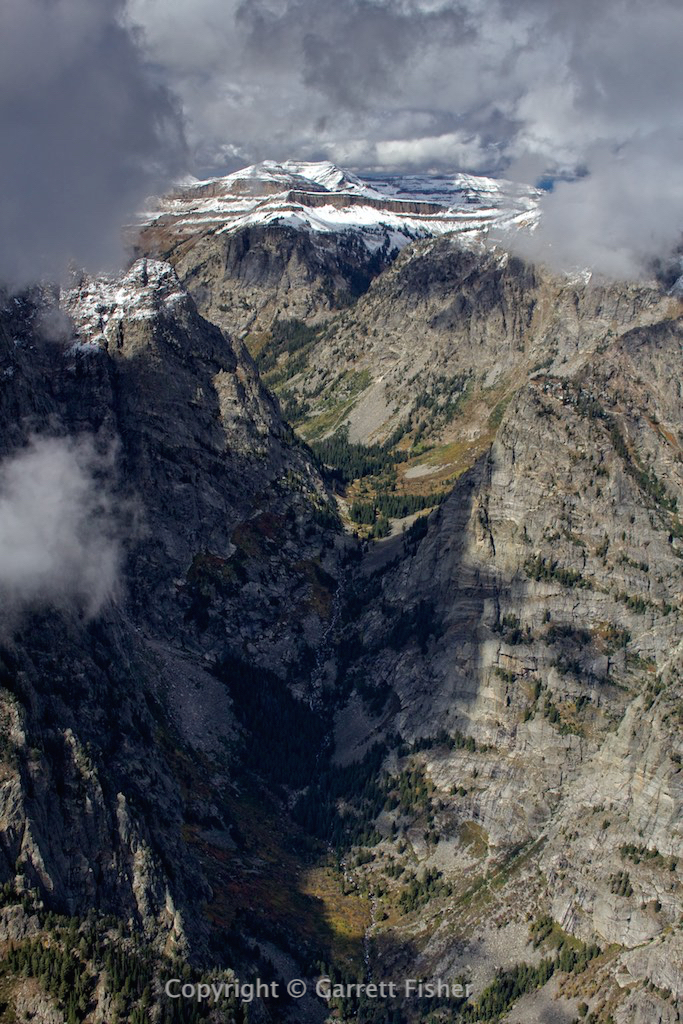
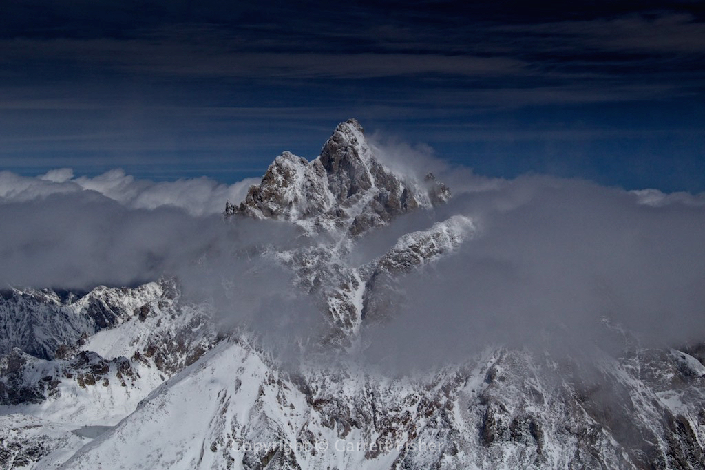
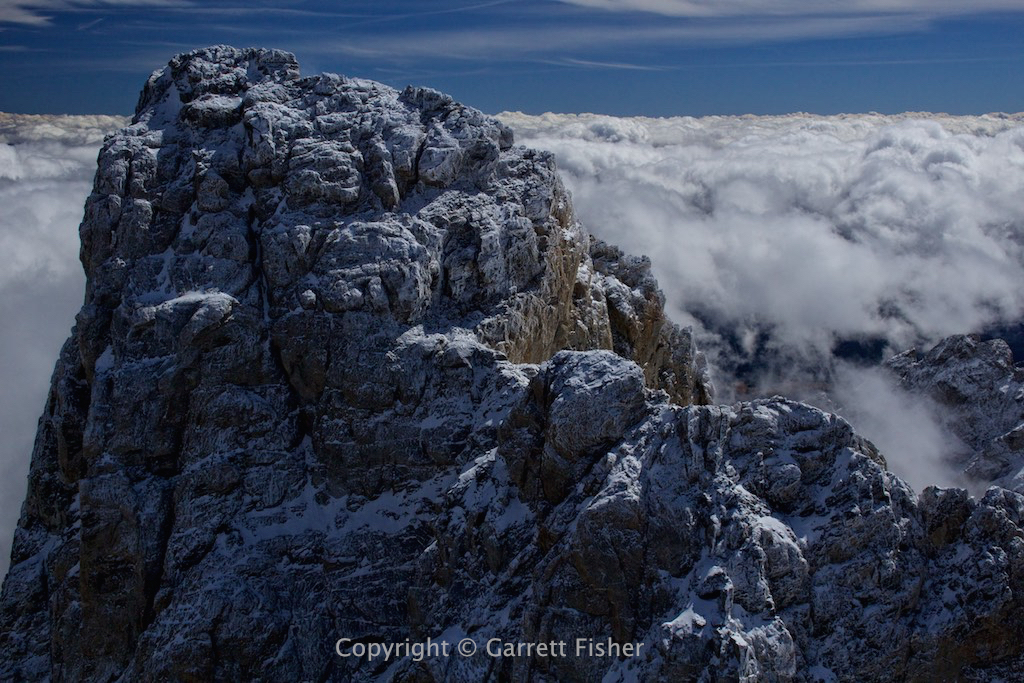
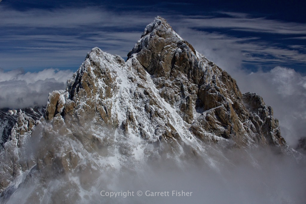
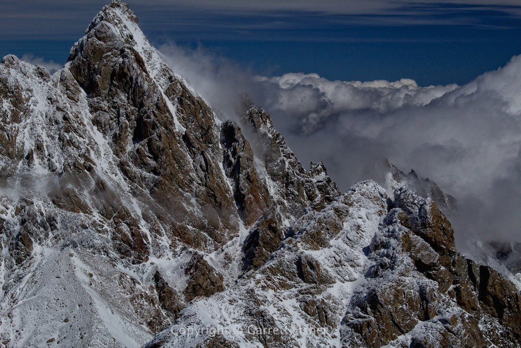
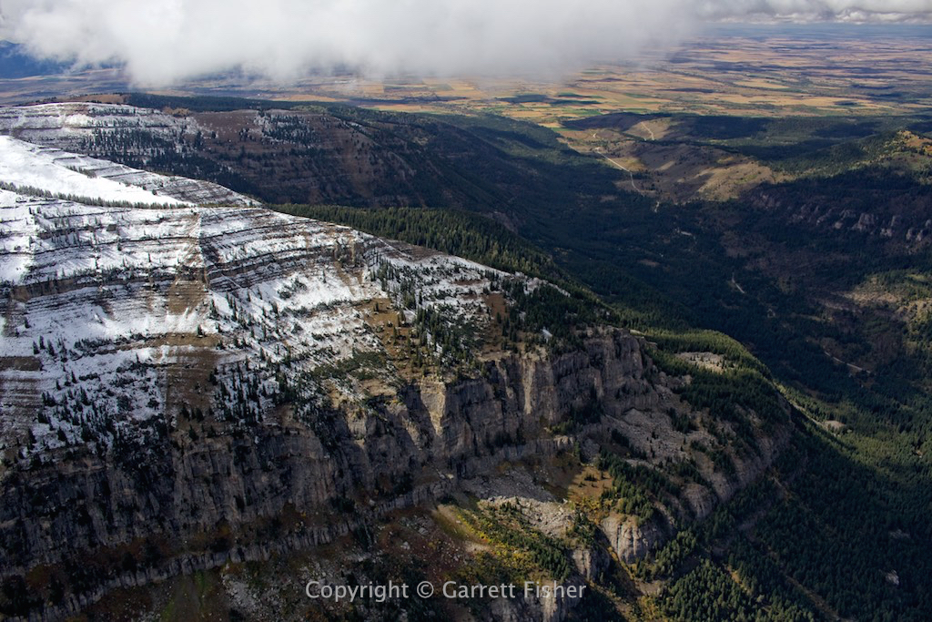
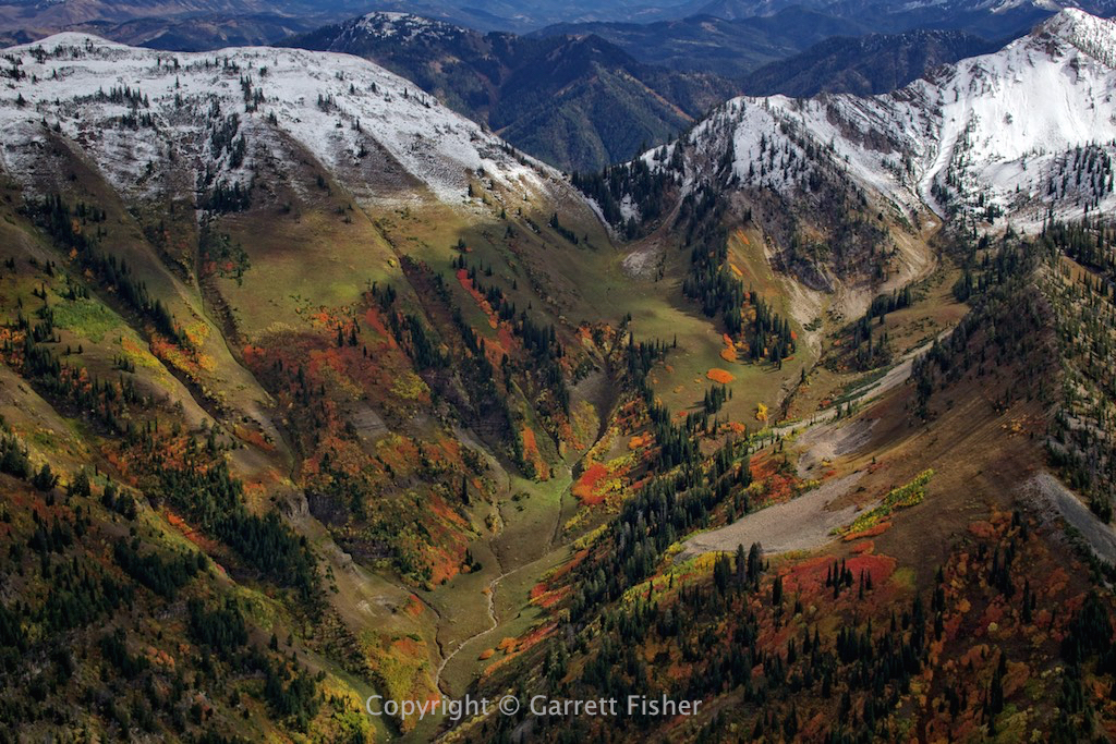
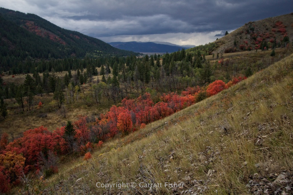
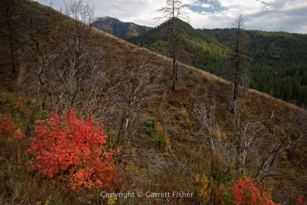
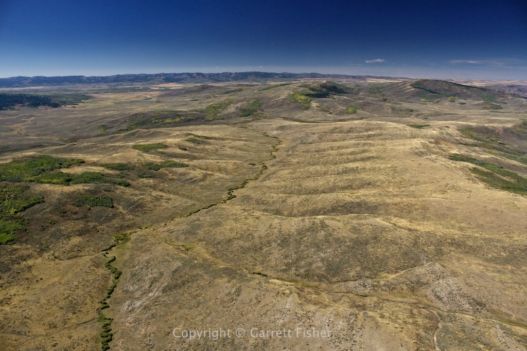
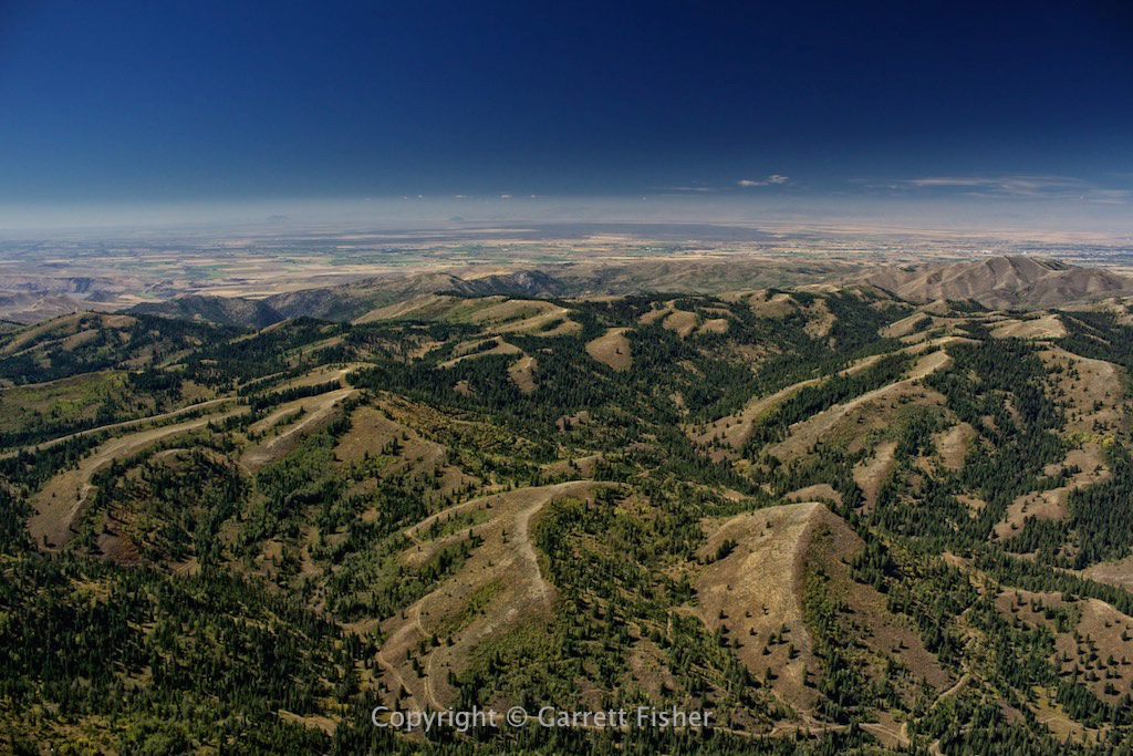
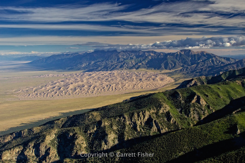
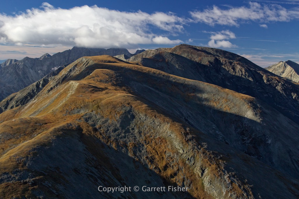
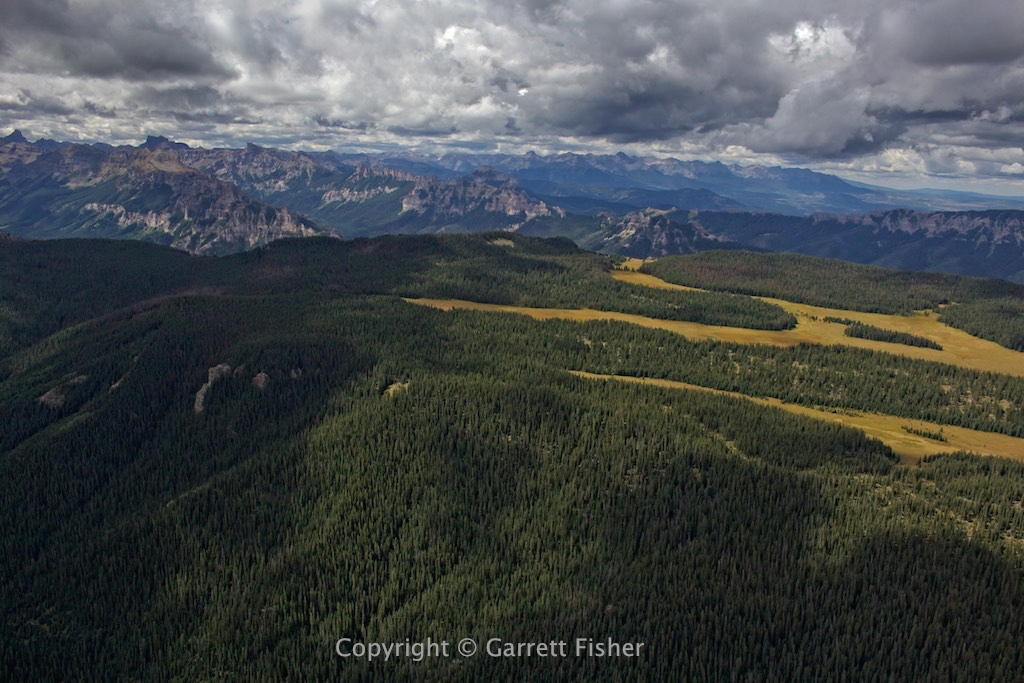
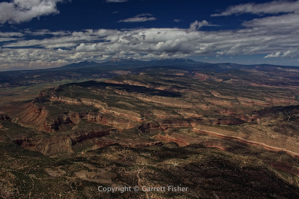
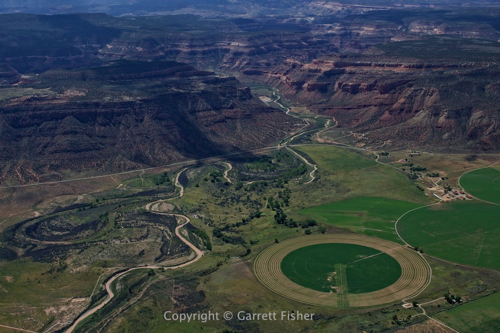
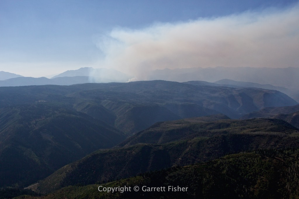
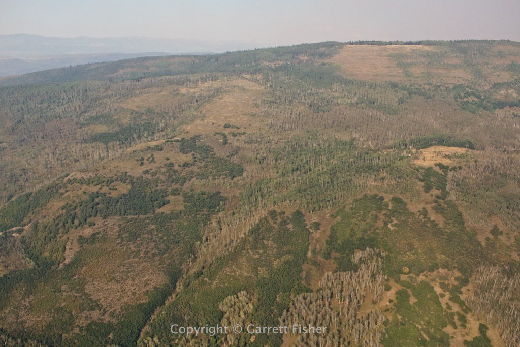
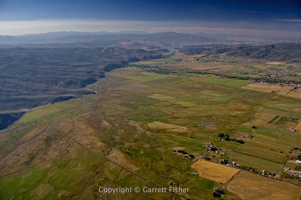
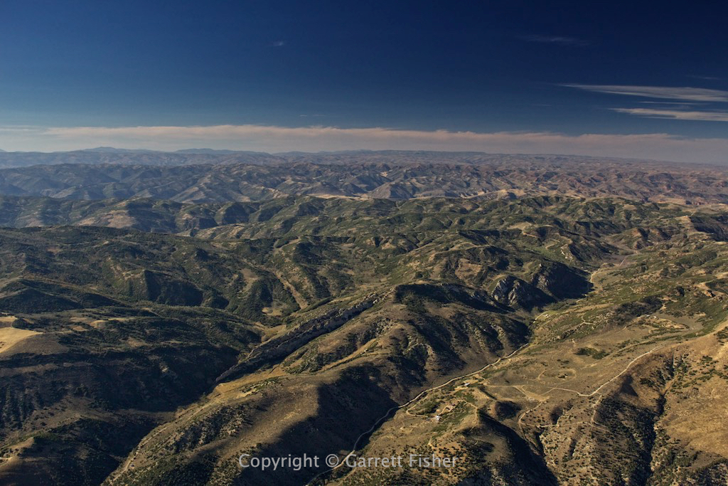
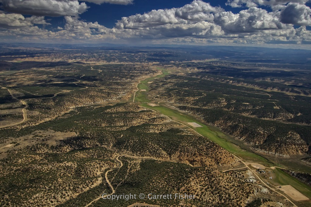
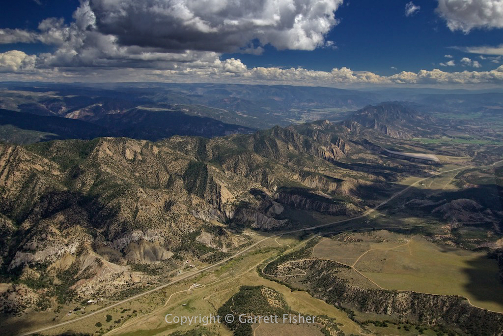
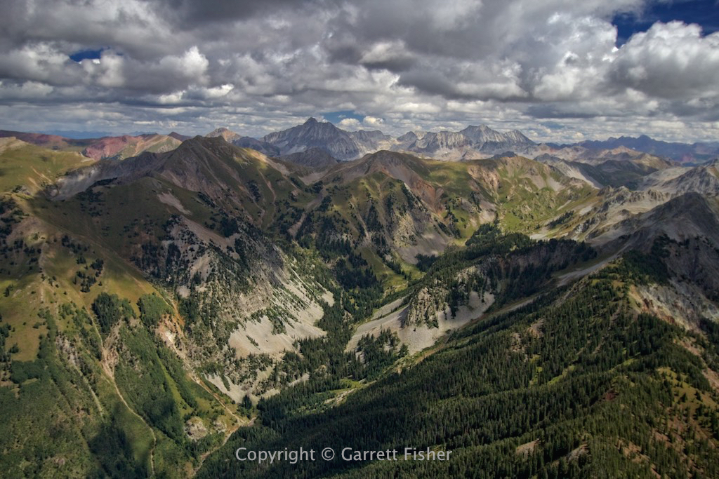
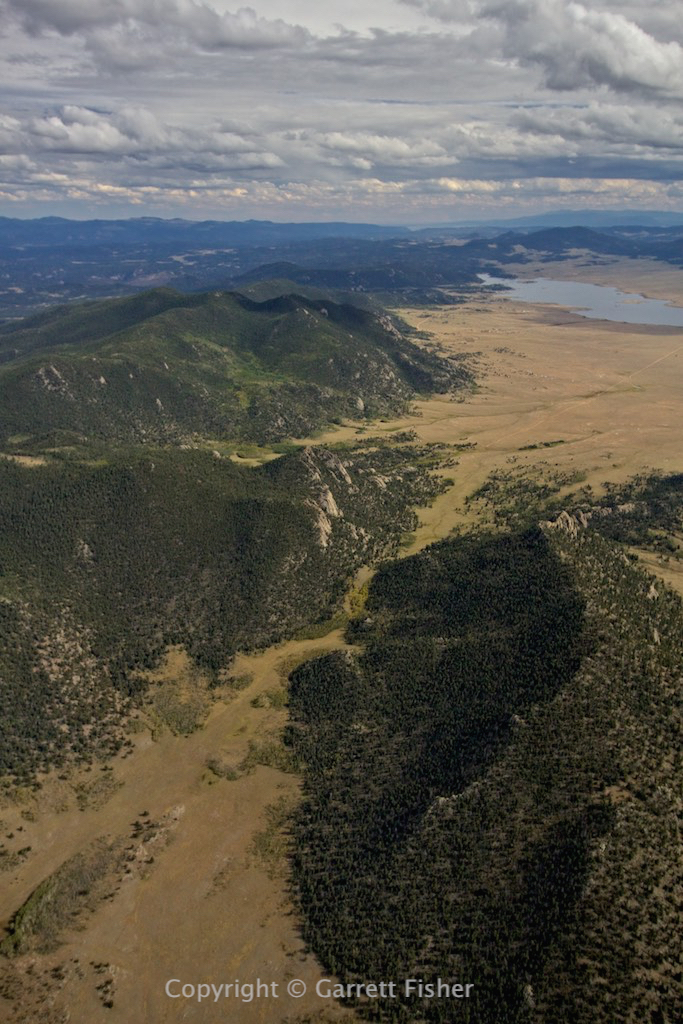
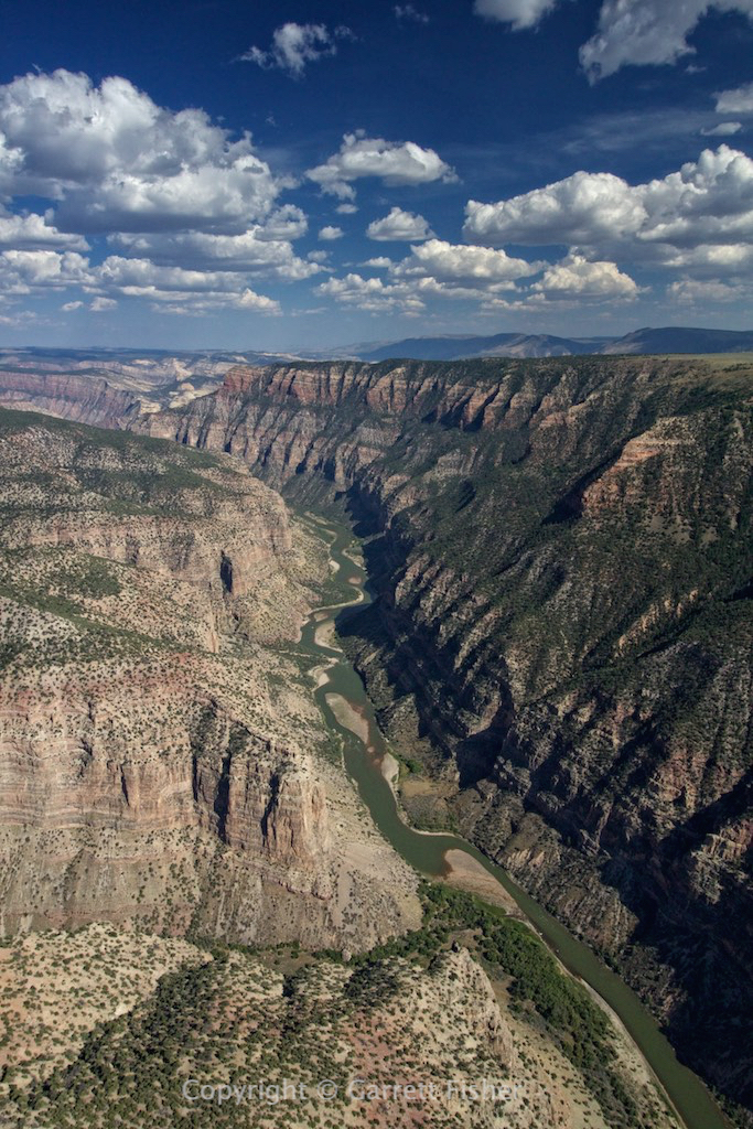
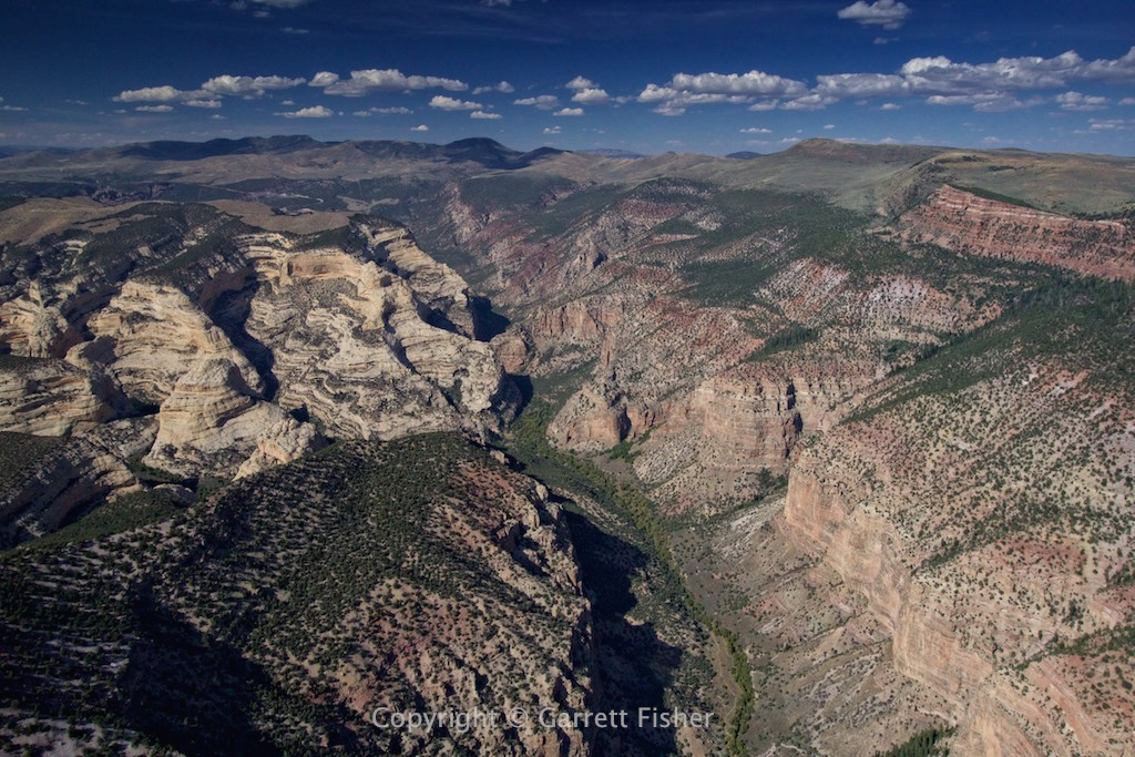
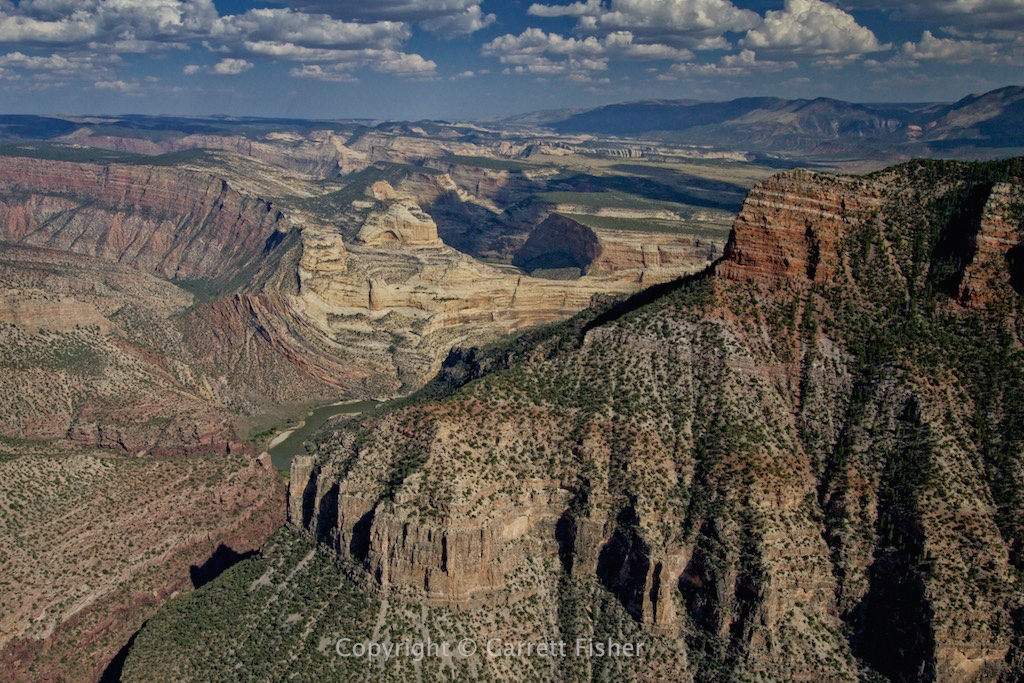
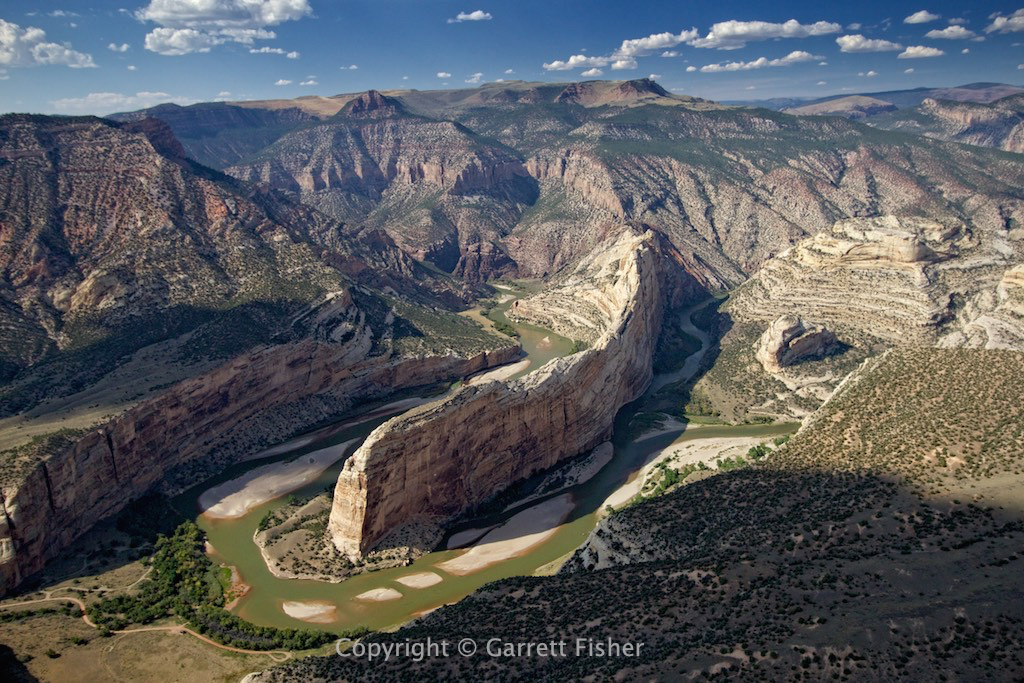
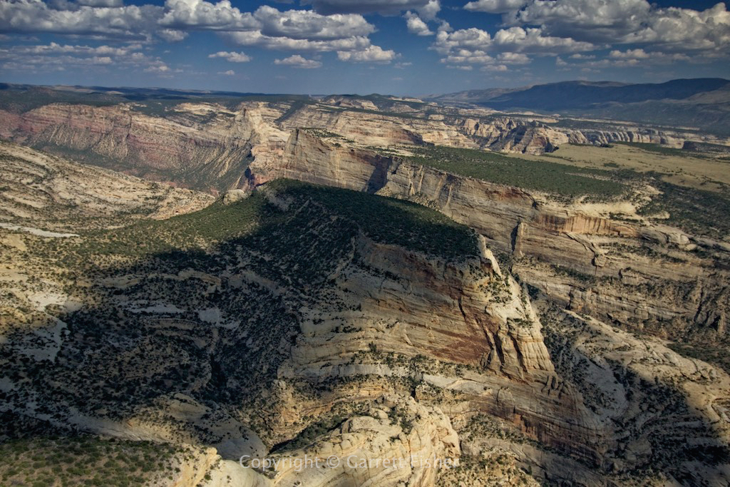
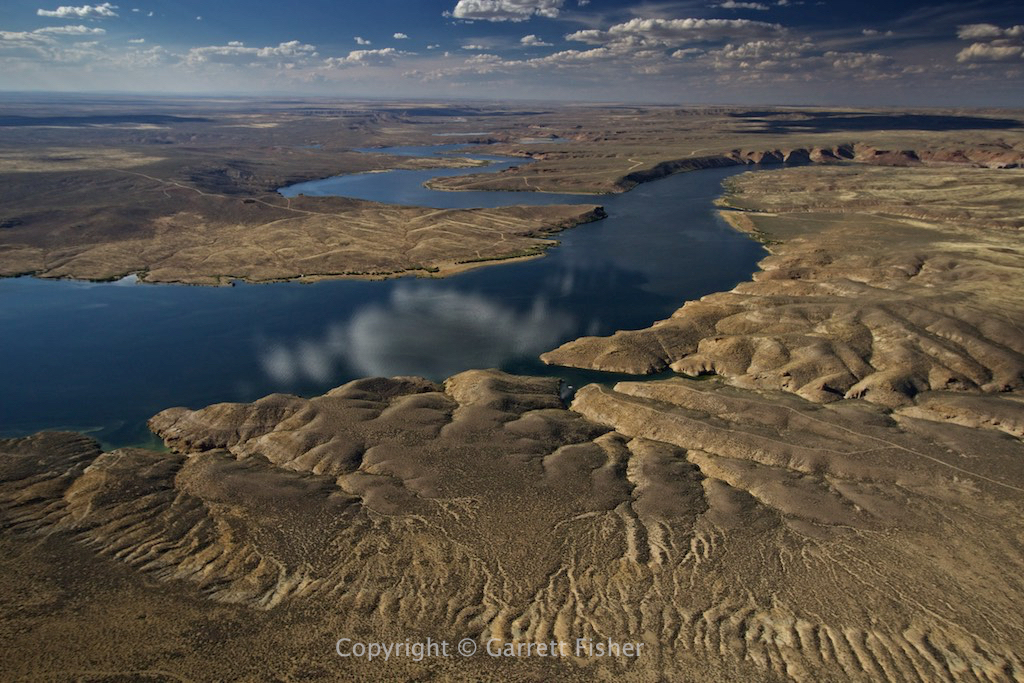
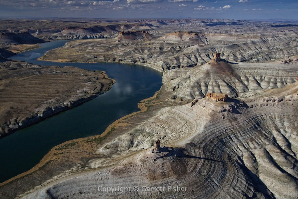
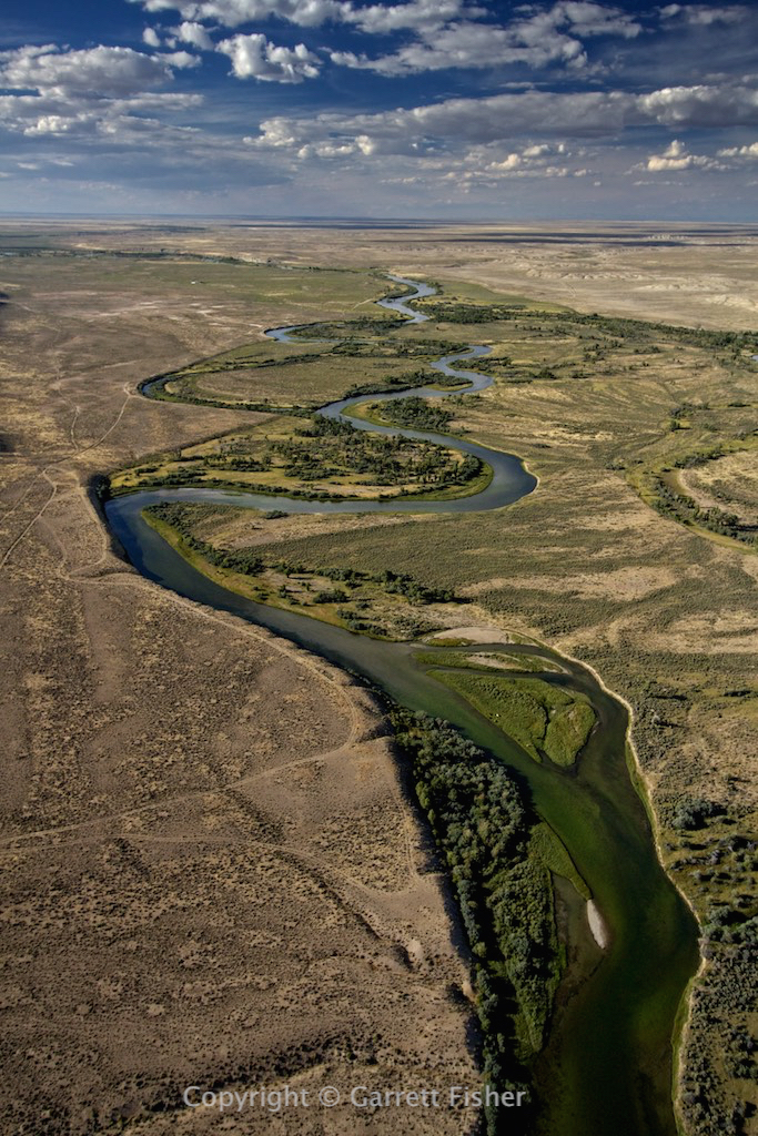
So far, I have published three books focused on the Colorado Rockies, and I have 3 additional aerial photography books focused on the state in the process of being published. From the glaciers in the Front Range, to all of the 14ers in the state (twice), to the little known yet equally as rugged mountain ranges in between, I have flown almost every corner of Colorado in pursuit of something, and have photographed what I saw in between.

There is quite a story behind what would drive a person to undertake such ambitious ridiculous flying and to keep doing it project after project, which I will share alongside the story of how I figured out how to keep the airplane right side up while photographing some of the highest terrain in the Lower 48.

The event lasts about an hour and is free.


Filed Under: Uncategorized

Flight: WY: Grand Teton First Snow

September 26, 2015 by Garrett

The first snow around here was a multi-faceted event with multiple storm fronts blowing through. There was a gap in the weather, enough to fly around locally, and provide photographs of the local area in the last post. As the next storm blew in, more snow fell, and I finally got a sunny day two days later to go up and survey the outcome.

I had this fancy idea to fly up to the Absarokas in Montana and all that jazz, and the proliferation of clouds and wind made it clear in the first 25 minutes that it was a silly idea. Where clouds are a problem in Yellowstone, they are a thing of beauty somewhere else. Wandering along the northern Wyoming Range, over to the western Gros Ventre Range, Grand Teton was evidencing herself in a shroud of glorious clouds and snow.

I crossed Jackson Hole from the southeast to the northwest, took a look at Jackson Hole Mountain Resort, and saw a gap in the clouds, enough to prove it was a worthwhile effort. Wandering up a canyon and circling to evade terrain and moving clouds, I was able to break the cloud layer and photograph the Tetons with the first real dusting of snow. That is a bit of a technicality, as in some of the colder precipitation events over the summer, I have seen small dustings on the shady side of the peak. However, I consider this one to be first real snow event.

The interesting thing is that the winds were blowing at a moderate clip, yet I could not find a single bump of turbulence, at any altitude, even if I was looking for it. It was smooth as silk all the way up to 14,000’, both on the windward and leeward side of some seriously massive terrain. The flight was beyond incredible, yet the clouds were blowing right through the terrain at a good rate of speed.

Eventually, I was uncomfortably cold and had to urinate with a profound profusion. That left a choice between landing at Jackson ($24 fee) or Driggs ($0 fee). I decided to go to Driggs for the first time, head into the really neat restaurant that overlooks the field, and get a cappuccino while savoring the results of my hard work.

Ironically, as I write this, it is 81 degrees out and I am sitting by a river in shorts. The West is an interesting place when it comes to weather.

Northern end of Wyoming Range
IMG_0052 (52 of 1031)

Winter and fall exchange a greeting, Gros Ventre Range foothills
IMG_0087 (87 of 1031)

Gros Ventre Range. It looks big from below. Above? Not so scary.
IMG_0111 (111 of 1031)

Top of Jackson Hole ski area. 10,500′
IMG_0219 (219 of 1031)

Teton Range. I think I am going in there.
IMG_0227 (227 of 1031)

Yup, definitely going in there.
IMG_0234 (234 of 1031)

This is a good place as any to climb through.
IMG_0242 (242 of 1031)

Do not mess with someone operating a carbureted engine that was manufactured in 1967. I am putting out 70 horsepower here… look out!
IMG_0259 (259 of 1031)

The plan might be working.
IMG_0289 (289 of 1031)

Danger? Whatever….
IMG_0311 (311 of 1031)

Success!! Grand Teton (13,770′)
IMG_0312 (312 of 1031)

Backside of Grand Teton summit, nice and close.
IMG_0606 (606 of 1031)

I think people who check themselves into monasteries looking for enlightenment should just fly here. 
IMG_0625 (625 of 1031) IMG_0670 (670 of 1031)

With multiple appendages perilously cold, time to descend into Idaho.
IMG_0762 (762 of 1031)

Backside of Ferry Peak, 3 miles from home, after warm cappuccino. Fall colors are sneakily pretty in the area nobody flies over (because its too dangerous). Snake River Canyon on the other side of the snow capped peaks.
IMG_0899 (899 of 1031)

Filed Under: Uncategorized

Flight: WY: First Snow

September 20, 2015 by Garrett

If autumn is magical, then the first snow is a downright spiritual experience. Ironically, the two have a way of mixing in the West, as first summit snows generally come roughly around the peak of autumn color.

Snow fell last week at 8,500’ elevation, while dousing the rest of us with a rather cold rain. The Star Valley of Wyoming (including here) received almost 3” of rain in a few days, which is quite a contrast to our dry and smoky August. That, and we received 1/7th of our average annual precipitation in 3 days.

Naturally, I had to take the plane up and scope it out. The weather system was in between fronts (more snow came the next day), so it was cloudy with clouds forming over the summits. I still gave it a shot and it worked out better than expected.

I know you’re in there……
IMG_0039 (39 of 165)

Still trying to hide?? (Ferry Peak)
IMG_0057 (57 of 165)

Salt River Range…. finally outsmarted the weather.
IMG_0082 (82 of 165) IMG_0089 (89 of 165) IMG_0104 (104 of 165)

Note fall colors at bottom.
IMG_0117 (117 of 165)

More Salt River Range.
IMG_0118 (118 of 165) IMG_0141 (141 of 165) IMG_0152 (152 of 165) IMG_0157 (157 of 165)

Middle Star Valley with snow exposed on summits of Salt River Range. Winter on top, fall in the foothills, summer in the valley. This is typical Rockies.
IMG_0162 (162 of 165)

Filed Under: Uncategorized

Flight: WY: Autumn in the Rockies Begins

September 18, 2015 by Garrett

There is one reality about life in the West: snap your fingers and summer hits you in the face, and snap them again and it’s gone. Not that I am complaining, as I really don’t like summer. However, things happen with great speed in the fall, and I find myself scrambling to check items off the list for quite a variety of book projects.

There are scrubby maple tree/bush plants out here. They have the same bark and leaf as an eastern maple, though seem to top out at 20 feet, lacking the majesty of the eastern trees (I can’t believe I am calling something eastern majestic and the western equivalent scrubby). These are in peak right now, favoring bright red colors, whereas the quintessential autumn colors of western aspen haven’t really shown up yet. Here is the first of the season.

For whatever its worth, its really hard to photograph these guys from the ground. It just doesn’t cut it the same.

Autumn in the Caribou and Snake River Ranges

IMG_0993 (13 of 274) IMG_1006 (26 of 274)
IMG_1047 (67 of 274)

Note the aspens are still green…
IMG_1119 (139 of 274)
IMG_1123 (143 of 274)
IMG_1143 (163 of 274) IMG_1177 (197 of 274) IMG_1201 (221 of 274)
IMG_1286 (32 of 87)
IMG_1298 (44 of 87)

One maple tree along the Greys River.
IMG_1342 (1 of 115)

Half baked idea to go climbing on a steep hill, in the mud, with no trail. Maples are so-so given the effort involved.
IMG_1412 (71 of 115)

Sorry little maple tree, its just not the same as New York. 
IMG_1425 (84 of 115)

Filed Under: Uncategorized

Flight: ID: Lava Fields, Groceries & Windmills

September 16, 2015 by Garrett

48 hours after landing from my binge flight to Colorado, it became apparent that we needed to go to Idaho Falls for a grocery run. It’s a monthly event that surfaces at perpetually inconvenient times. 75 miles each way – mostly two lane with idiotic drivers – it’s a real pain in the rear to drive, so I decided to fly. Running the numbers, its exactly the same amount of time to land at Idaho Falls Regional and drive the courtesy car, with an additional $9 in fuel and a ton more brain power required. That aside, its an excuse to fly. You know, “so the engine doesn’t rust”….. in two days.

As soon as I sat in the airplane, it was evident that my ass still hurts from the Colorado flight. The seat was designed in 1945 (read: simplistic, hard, uncomfortable, and not updated since then), and the ensuing pain is typical of what you’d hear a Depression era grandparent talk about when he or she “walked 5 miles in a blizzard uphill both ways to school. Now quit being a wimp!”

The flight over, although sunny and light winds, was bumpy as can be, which was not fun. With a sore ass, and still a sore mind, here I am getting the crap beaten out of me by the weather, for no good reason. Thankfully, it abated approaching the Snake River Plain in Idaho, where I got photographs of farm fields next to lava fields. Yes, lava fields derived from ‘liquid hot magma’ sits next to potatoes and other traditional Idaho agrarian regalia. Quite a contrast.

The flight home involved going through the windmills east of Idaho Falls. Given their small width, it’s easy to assume they can be flown around with ease, though the giant spinning blades pose some bit of a challenge as they take up more space than is apparent from a brief glance. I had to make sure not to go Don Quixote and fly into one of them. The last bit passing through the lower Swan Valley showed wheat fields in harvest, quite a golden contrast to the lime green I photographed in the same place in June.

Caribou Highlands – inexplicably obscene turbulence for such a tranquil scene….
IMG_3793 (10 of 345)

Caribou Highlands with Snake River Plain in the background. This is where your Idaho potatoes come from.
IMG_3800 (17 of 345)

Fields and lava fields side by side.
IMG_3822 (39 of 345) IMG_3832 (49 of 345) IMG_3859 (76 of 345)

Windmills (duh)
IMG_3945 (162 of 345) IMG_3958 (175 of 345)

The highway en route to Idaho Falls comes through here. Despite its apparent beauty, its gets old so I flew instead.
IMG_4088 (305 of 345)

While I found this photo beautiful, I wonder if the farmer hates his job. “All I do is drive around in circles all day…”
IMG_5974 (3 of 267)

More lava fields. I have resorted to operating two cameras simultaneously (one with zoom, one without) and they don’t sequence images properly.
IMG_6110 (139 of 267)

Filed Under: Uncategorized

Flight: CO, UT: Heaven & Hell: Day 2 of 2

September 15, 2015 by Garrett

The heaven and hell theme continues, with the highs and lows of the day being more extreme than the prior one. It occurred to me after the last post that I ended the day in Alamosa with the assumption that I would wake up, get the Sangre de Cristo 14ers, Sawatch 14ers, and then finish out with the Colorado glaciers before the afternoon weather kicked up, returning home that evening. When I pulled a weather briefing at 6:30AM while eating breakfast, I had the bucket of cold water hit my face: there were showers and thunderstorms all over central Colorado. Reading the forecast discussion, the meteorologists confessed to missing a jet streak that mysteriously showed up. Most thunderstorm activity in Colorado is in the late afternoon, not at 4AM. I opted for my backup plan: to get the Sangre de Cristo Range, head west to the San Juans, out to the confluence of the Green and Colorado Rivers in Utah, and head north.

As I was climbing from Alamosa, CO to Blanca Peak, it was evident there were clouds over the Sangre de Cristo 14ers, again. As in, they were just over the 14ers and nothing else. How is it possible that this keeps happening? I was then in an acute form of hell, pissed beyond belief, frustrated, tired, and not sure what would happen. I kept climbing until I caught some updrafts near Great Sand Dunes National Park. What I saw turned straight from hell to heaven: the 14ers were gorgeous with morning sun and the texture of the clouds. Great Sand Dunes as well as the northern section of the 14ers in the Sangre de Cristo Range was just simply incredible.

Turning west toward Telluride, two unfortunate realities hit: I was doing 55kt groundspeed due to headwinds, and I had to urinate badly, again. Not wishing to repeat the Vernal, UT incident, I did a host of recalculation in flight, finding that there was no way to avoid wasting time and distance to solve the urination problem. Landing and taking off without getting fuel would risk not arriving in Telluride, with no alternate. Pressing on would result in kidney failure. I opted to divert to Monte Vista, CO for two reasons: it was the closest and I could get some fields for my farm field project. Satellite maps for many years tantalized me with these fields and I thought to myself how stupid it would be to be so close and not get them. They were incredible. Heaven continues.

My devious scheme was to head straight west, climbing in the lee of the southwest winds, going faster while avoiding turbulence. For the first 20 miles, I thought the plan was working. As I got to Creede, CO, it was evident things weren’t going so hot. As I pointed toward Slumguillion Pass, hell returned. Turbulence was insane, and no matter what I did, I could not find the coveted windward side of a ridge to both climb and get out of the rotors. I was stuck unable to get altitude and getting the crap beaten out of me. Trying a number of things, I just could not get out of the dangerous air while pressing toward the San Juans, so in the interest of still being alive, I decided to take the royal flush and go with the wind, heading downwind and out of the San Juans, north toward Gunnison National Park.

It was quite a challenge to get over the terrain north of Slumguillion Pass, and I had to play weather detective and sneak over in a flat spot with relatively modest turbulence. Turning north, my iPad again reported a groundspeed in excess of 100kt, meaning that for day two, upper level winds were over 30kt, despite forecasts of 22kt. The foothills of the San Juans were absolutely awful, with severe turbulence and rotors, leaving the only sensible option being heading straight north into rain showers. Rain showers of a convective nature in the West often bring downdrafts, aside from standard issues of visibility, and I found it hard to believe that they felt like a refuge of safety, given the circumstances.

Clearing the weather near Gunnison National Park, I joined the foray of private jets and commuter flights coming into Montrose. Apparently voted the #1 jet center in the West, it is a playground for upper class snobbishness, as multi-million dollar aircraft were just about everywhere, in the air and on the ground. Winds were almost 20kt, which is quite a bit for this airplane, though thankfully straight down the runway. I landed literally standing still on the runway, as I had zero groundspeed while still in flight. As I taxied, I had to add power to move forward, which meant that I could operate the stick left and right and up and down, and the aircraft would pivot on the wheels like it was in flight. That was a first.

Apparently, the slew of jets was due to the fact that they couldn’t get into Telluride. A jet pilot commented that they found the same thing I did: 35kt winds at altitude, when the forecast was for less. I find it ironic that I can and cannot get into the same mountain airports as massive, insanely expensive jets. Two corporate pilots practically did obeisance to my airplane, having learned how to fly on Cubs. That is rare, as most corporate pilots go to some form of school, learning on leather clad simulators, and snidely scoff when they see me, with looks of “Ugh, hoodlum. Who the hell let the hobo in here?”

The folks at Montrose were convinced I was spending the night. I advised them I was leaving, which I did, as the wind was exceptionally high in Montrose proper, though not all over the West. Heading west toward Canyonlands National Park in Utah, I was greeted with heaven again. The canyons are almost beyond words: incredible depth, variety, and size. These things go on for miles and miles.

Following the Green River north to the town of Green River, Utah (for yet another project: the Green River in WY and UT), winds were surprisingly bumpy, with moderate turbulence testing my frayed determination and patience. Landing at Price, UT, calculations indicated that I would make Alpine before sunset and without having to refuel. Passing through Price Canyon, then east of the Wasatch Range, through the smoke plume of a forest fire, and on up into the western deserts of Wyoming, I finally got a break from the turbulence. It was moderate all through the rest of Utah.

With some time to finally relax and think, while still 90 minutes from home, I realized I might just be on the verge of losing all cognitive function. Staring at yet more scenery go by, I realized I had been flying and photographing for 17.5 hours at that point in two days, not including fuel stops. That is pure, raw, flying, with total time traveling being quite a bit more. I had seen so much of the West that I ran into my limit of ability to process what I was seeing. Wondering if I was in some form of alternate universe, I realized that my headphones were in reach from the front seat. Putting them in my ears, yet under the massive aviation headset, I plugged in iPhone and let the music play. What a delight that was, a capstone on two brutal days of intense flying in every way imaginable. It was good to finally be home.

Great Sand Dunes National Park, Sangre de Cristo Range (see the clouds over the distant peaks, those are 14ers)
IMG_2610 (18 of 1191)

Sangre de Cristo Range, riding the updrafts. Blanca Peak in the clouds.
IMG_2633 (41 of 1191) IMG_2704 (112 of 1191) IMG_2847 (255 of 1191)

San Luis Valley fields
IMG_3017 (425 of 1191) IMG_3045 (453 of 1191) IMG_3106 (514 of 1191) IMG_3126 (534 of 1191)

Eastern San Juan Mountains foothills
IMG_3174 (582 of 1191)

Mineral County, CO
IMG_3183 (591 of 1191)

Some waterfall in the San Juans. Was getting the absolute crap beaten out of me here.
IMG_3196 (2 of 16)

Hell. Severe turbulence.
IMG_3197 (605 of 1191)

Rain shower west of Montrose after fueling.
IMG_3204 (612 of 1191)

West Central Colorado
IMG_3209 (617 of 1191) IMG_3211 (619 of 1191)

Crop circle, near border with UT in western CO.
IMG_3246 (654 of 1191)

Mt. Peale, UT. Always wanted to see these while staring at them on Google Earth. Above timberline peaks surrounded on all sides by desert.
IMG_3267 (675 of 1191)

Canyons of Utah
IMG_3275 (683 of 1191) IMG_3288 (696 of 1191) IMG_3319 (727 of 1191) IMG_3338 (746 of 1191) IMG_3361 (769 of 1191) IMG_3371 (779 of 1191) IMG_3492 (900 of 1191)

NW of Green River, UT. They call this “castle country.”
IMG_3674 (1082 of 1191)

East of Price, UT.
IMG_3687 (1095 of 1191)

Price Canyon, UT. Salt Lake City is on the other side of the mountains on the horizon.
IMG_3698 (1106 of 1191)

Strawberry Park Reservoir, UT, east of Salt Lake City.
IMG_3709 (1117 of 1191)

Forest fire. Daniels Pass south of Heber City, UT.
IMG_3712 (1120 of 1191)

Flying in the smoke plume.
IMG_3718 (1126 of 1191)

Between Park City UT and Heber City UT
IMG_3724 (1132 of 1191)

Not far from the I-80 corridor in NE Utah.
IMG_3738 (1146 of 1191)

Wyoming/Idaho border, southern foothills of the Caribou Range.
IMG_3746 (1154 of 1191)

Just below the Star Valley.
IMG_3754 (1162 of 1191)

Only 30 miles to home with the sorest ass in the world.
IMG_3770 (1178 of 1191)

Filed Under: Uncategorized

Flight: CO: Heaven & Hell: Colorado 14ers, Day 1 of 2

September 13, 2015 by Garrett

If you can’t tell, the designation of the post implies that it was a day of contrasts. The whole thing got started with this half-baked idea to do a second edition of my Colorado 14ers book. The entirety of the 14ers was photographed in fall, winter, and spring, with nothing in the summer. I also wanted to get the Colorado glaciers for a separate book project, as well as more photos of the western continental divide, for yet another project. So I got this grand idea to do something like 1400 miles of flying in two days, photographing the entire time.

The forecast was for full sun, with some bit of a “breeze” at the altitude of the 14ers. Departing the Star Valley, visibility was illustrious, a product of a strong cold front. Weaseling down into southern Wyoming, that changed as haze became evident. “It’ll be better at high altitude.” It wasn’t. To make matters worse, I had to urinate with a painful profusion heretofore never experienced. There were airports without fuel along the way, though it’s a good 30-minute turn around to land, power down, use the facilities, start up, and go, so naturally I opted to suffer. Crossing the eastern side of the Uintas Mountains in Utah, insult was added to injury with severe turbulence, making the thought of my kidneys exploding all the more realistic. I landed at Vernal, Utah, as planned, bent over waddling to the bathroom, snapping like I had PMS at anyone that wanted to have aimless, self-evidently obvious conversation about my lovely antique airplane (“that’s a really nice airplane.” “Is that a [insert anything but PA-11 here]?” “You flew here in that?”)

The flight into Colorado was long, as the terrain variability in the NW section is nil. By the time I got to the first 14ers in the Elk Mountains near Aspen, it had been 6 hours. To make matters worse, a thunderstorm (forecast: mostly sunny) formed in between Capitol Peak and me. Go figure, the only t-storm on radar in the entire state, and its over the exact 14er I planned to start with and its here precisely when I arrived, and there shouldn’t even be one at all. Winds were also bumpier than expected and quite a challenge to find an updraft. Clouds were abundant, which I usually don’t like at all for photography purposes. In order to safely photograph the peaks, I had to come up the wilderness side of them to stay upwind, accepting the reality that while I would definitely be not dead in an emergency landing, I would be in a really, really rugged place that would be quite a challenge to get out of (while helicopters and rescue gear exist, I plan all flying with the expectation to land, survive unharmed (even in the event of aircraft damage), and walk on my own through whatever terrain to people or a road). It was a rocky ride, though the heaven part starts to come in now. The scenery was quite simply stunning. The Elk Mountains are some of my favorite in the state and there were fantastic contrasts, textures, and colors, something unavailable during winter.

There were a few hairy moments around the Maroon Bells and Pyramid Peak, where I got caught on the lee side for a short period (read: downdraft of prodigious proportions). While getting literally flushed out into Aspen Airport’s airspace was a remote option, it really wasn’t a path I wanted to go down; thus, I was able to hug some terrain to generate neutral wind, followed by an updraft and then head east toward Conundrum Peak. After completing the Elks, I cruised toward La Plata Peak, noting on my iPad that winds at altitude were well in excess of 30kts, which is extremely unsafe. So much for the 22kt forecast, of which upper level wind forecasts are usually accurate.

As I expected, the winds restored to a reasonable level over the Sawatch Range, so I continued my work with Mt. Elbert and Mt. Massive, then landed at Leadville for fuel. Showers and thunderstorms that weren’t supposed to happen were now plaguing the Sawatch Range, which was my intended target, so I opted to get the Mosquito Range and then decide what to do. The storms were visible 30 miles to the south, so I opted to go to Pikes Peak while in flight.

Pikes Peak is visible from a good portion of the state. It almost always looks like its “just over there.” It took an hour to get there, and an hour to get to the central Sangre de Cristo range, crossing some developing showers in the process. While I would usually skip such a far flung 14er for a second edition (due to hours of flight involved), I really wanted to get some better shots of the peak as it looms above Colorado Springs, with well over a quarter million people staring at it on a daily basis.

Crossing the Sangre de Cristo Range should have been difficult. It was not. Clouds were low over the highest peaks, and I was coming from the lee side into the wind, which usually doesn’t work. It was fine. However, upon getting into the San Luis Valley on the west side of Great Sand Dunes National Park, many miles past the mountains, and still well above the ground, I encountered borderline severe turbulence, for probably the 6th time that day. There was absolutely no reason for such angry wind, as it was sourcing from a flat spot, not crossing any terrain. The wind was also doing highly strange things, twisting and pointing the airplane in strange ways: not just left-right or up-down, but multiple axes of movement at once, which was a first. I never did find out what was causing it, as the sky was partly cloudy and surface winds 9 knots. Between the turbulence, storms, and now clouds parked solely over every single 14er in the Sangre de Cristo Range, I was highly pissed off.

I landed at Alamosa, CO airport, which although it had an airliner come in, was unattended for general aviation purposes. Yes, there was a manned fire truck sitting on the taxiway, just in case an airliner crashed, but there was no one to fuel an aircraft! No fuel until tomorrow morning. That, and the storms were still over the Sawatch Range, though I could see the Sangre de Cristo 14ers basking in sun, and thoroughly unreachable due to lack of fuel. Coitus interruptus! I checked the weather, which called for nice conditions the next morning, and decided to get the Sangre de Cristo 14ers in the morning, head west to the San Juans, and then out to the confluence of the Green and Colorado Rivers in the canyon lands of Utah, for the Green River book. This was a total change of plans, as my original plan was to sleep at Leadville and head up to the glaciers in Rocky Mountain National Park. Save that for the next trip….

Given the misery of the day, I got a hotel and slept in comfort in Alamosa instead of being ghetto and pitching my tent in the weeds. While it was a frustrating and bumpy day, I did photograph 17 of the 14ers, and I was at the farthest point of the whole trip. As a friend of mine in Alpine said, “If it was easy, somebody would have done it already.”

Southern foothills of Wyoming Range with Illustrious Visibility
IMG_1961 (8 of 639) IMG_1975 (22 of 639) IMG_1989 (36 of 639)

Beginnings of fall; vegetation gives way to desert with great abruptness
IMG_1997 (44 of 639)

Some sort of foothills to Uintas Mountains
IMG_2010 (57 of 639)

Canyon with Uintas Mountains, really full bladder
IMG_2022 (69 of 639)

Moderate to severe turbulence (makes so much sense looking at the terrain) with kidneys about to explode
IMG_2030 (77 of 639)

5 minutes later…..no turbulence….makes tons of sense. Near Vernal, UT
IMG_2031 (78 of 639)

Utah Desert
IMG_2037 (84 of 639) IMG_2044 (91 of 639)

Northwest Colorado, 15 miles SE of Rangely
IMG_2059 (106 of 639)

Sort of reminds me of West Virginia…..in a bad kind of way
IMG_2064 (111 of 639)

Hogback Mountain, Rifle CO
IMG_2080 (127 of 639)

Elk Mountains – Capitol Peak and Snowmass Peak (14er, not the ski resort) on the horizon. Somewhat unforgiving terrain. Just add wind….
IMG_2097 (144 of 639)

Elk Mountains
IMG_2225 (272 of 639)

Sawatch Range, looking west from backside of Mt. Elbert, highest peak in CO
IMG_2356 (403 of 639)

This is ugly. En route to Pikes Peak. I flew 600 miles to see this……
IMG_2489 (536 of 639)

Showers brewing after Pikes Peak. Salt in the wound.
IMG_2553 (600 of 639)

Foothills looking south toward Pueblo, CO. I suppose this is not ugly, though my mood at that point was.
IMG_2567 (614 of 639)

San Luis Valley. Makes so much sense that I would encounter severe turbulence here. I seriously was wondering if my aircraft is capable of generating its own turbulence or if someone had attached a giant quilt to the rudder.
IMG_2580 (627 of 639)


Filed Under: Uncategorized

Flight: WY, ID, UT, CO: Bear Lake, Uintas Mountains, Dinosaur National Monument, Flaming Gorge, Green River

September 3, 2015 by Garrett

This flight started out with a grand idea to wander up to Montana. Airports were reporting all 10 statute miles visibility, with no “FU” appendix (literally means smoke), so I figured the smoke must be gone. I called Livingston, MT and talked to an older gentleman, just to be sure before flying 178 miles for nothing.

“Hello, I am calling to check if there is any smoke visible. I have a photography flight to take up that way.”
“Smoke? Ha! Its 5 to 6 miles visibility right now.”
“Uh, right. Well, your automated weather says 10 miles.”
“Well, I don’t know what to say, there’s smoke all over the place.”
“This is my first year here. Do you have any knowledge of how long the smoke normally sticks around for?”
“If there are fires in Montana, there is smoke.”
“Yeah, I know that. Any clue how long it usually lasts?”
“Until it rains or snows.”

At this point, I gave up. I ran into the same situation with my 14ers book in Colorado.

<<Standing at Leadville, highest airport in North America>> “So…. can I fly over there by those 14ers?”
“Sure, just don’t get yourself killed.”
“Well, I am new here, so any particular weather that is bad, and any that is usually good?”
“Nope, you just don’t want too much wind.”
“Is there any direction that is worse?”
“Nope.”
“Any suggestions when to go up and try?”
“When its not windy.”
“Does that happen much?”
“Nope.”

Airport people are clearly useless, so I just go flying and figure it out. Nothing like locals who don’t know a damn thing about the local area. In this case, I trusted that the smoke was a problem in Montana, and went south instead. Time to conquer the next segment of the Green River, along with the Uintas Mountains, and Bear Lake just because it’s on the way and pretty.

Well, I must say it was a great flight, also happening to break the record for the longest photography flight (8 hours). While I have gone 13 hours in one day, it was crossing half the continent in a straight line, and not for the purpose of photos. Southeast Idaho was really pretty. Bear Lake may as well have been the Outer Banks. And the canyons along the Green River were astounding, ending with amazing texture in the southern part of the Wyoming Range.

Somewhere in Southeastern Idaho

IMG_0548 (41 of 1443)

Marshes on the north side of Bear Lake, ID
IMG_0599 (92 of 1443)

Bear Lake, ID – No, this is not retouched. Known as the “Caribbean of the Rockies,” it gets its color from limestone in the water.
IMG_0647 (140 of 1443)

Bear Lake, UT – Yes, the ID/UT border runs left-right through the middle of the lake. My airplane at this point lost its Utah virginity, now the 26th state it has been to.
IMG_0701 (194 of 1443)

This is back in Wyoming, a rather steep terrain feature I saw en route by car to Alpine for the first time in February. I remember thinking that I wanted to fly by it….
IMG_0725 (218 of 1443) IMG_0741 (234 of 1443)

Uintas Mountains, UT, looking NW.
IMG_0772 (265 of 1443)

Somewhere in the desert west of Vernal, UT. It smelled like paint thinner, and I discovered the source as some skanky refinery/chemical plant in the middle of nowhere.
IMG_0891 (384 of 1443)

Vernal, UT. Utah has a lot of dystopian places that look all green and idyllic, when the reality is that the whole place is quite a desert (see the brown to the left…. death by dehydration awaits over there…..)
IMG_0906 (399 of 1443)

Death by dehydration…..or a place to drive a 4×4 around in circles for fun.
IMG_0919 (412 of 1443)

Just add water…..
IMG_0941 (434 of 1443)

Dinosaur National Monument – UT/CO
IMG_0994 (487 of 1443) IMG_1024 (517 of 1443) IMG_1081 (574 of 1443) IMG_1232 (725 of 1443) IMG_1233 (726 of 1443) IMG_1268 (761 of 1443)

Still Dinosaur National Monument – Confluence of Craig and Green Rivers in Colorado
IMG_1338 (831 of 1443) IMG_1384 (877 of 1443) IMG_1449 (942 of 1443) IMG_1538 (1031 of 1443)

Flaming Gorge – UT/WY
IMG_1666 (1159 of 1443) IMG_1697 (1190 of 1443) IMG_1762 (1255 of 1443) IMG_1794 (1287 of 1443)

Home on the range…. good old middle of nowhere Wyoming. At least I had 3 bars cell signal the entire time through here….
IMG_1860 (1353 of 1443)

Fontenelle Reservoir, WY
IMG_1911 (1404 of 1443)

Wyoming Range foothills (uh, that would be in Wyoming in case that wasn’t evident)
IMG_1925 (1418 of 1443) IMG_1930 (1423 of 1443)

Salt River Range to the left, Wyoming Range to the right
IMG_1941 (1434 of 1443)

Filed Under: Uncategorized

  • Español
  • Français
  • Català

Blog Posts

  • Flights: Spain, Switzerland: A Crazed Aeronautical Bender…Seven Years Later January 25, 2023
  • Flight: France: Surfing the Wave December 19, 2022
  • Flight: Switzerland: A Mystery on the Eiger, 700,000th Photo November 16, 2022
  • Flight: Norway, Sweden, Denmark, Germany, Netherlands: Losing My Flying-Over-Water Virginity October 24, 2022
  • Flights: Norway: Sognefjord, Longest Fjord in Norway September 24, 2022
  • Flights: Norway: Hardangervidda, Largest Mountain Plateau in Europe September 17, 2022
  • Flight: Norway: Galdhøpiggen, Highest Peak in Northern Europe August 20, 2022
  • Flights: Norway: Jostedalsbreen, Largest Glacier in Continental Europe August 7, 2022
  • Flights: Norway: Flyraseri ikke Flyskam July 17, 2022
  • Flight: Switzerland, France, Italy: 2,000 Hours & FL160 July 9, 2022
  • Flight: Day 4: Sweden, Norway: 56N to 59N July 6, 2022
  • Flight: Day 3: Netherlands, Germany, Denmark, Sweden: 53N to 56N June 27, 2022
  • Flight: Day 2: France, Belgium, Netherlands: 44N to 53N June 19, 2022
  • Flight: Day 1: Spain, France: 36N to 44N June 4, 2022
  • Flight: Spain: Rock the Casbah, Sierra Nevada, Africa on the Horizon May 8, 2022
  • Flight: Portugal, Spain: Promontorium Sacrum, Last Sausage Before America April 26, 2022
  • Flight: Spain, Morocco: Spanish Africa, Pillars of Hercules, Southernmost Point in Europe April 18, 2022
  • Flights: Spain: The Antipope, Package Holidays & A Clandestine Metropolis April 11, 2022
  • Flights: Days 2 & 3: France, Spain, Portugal: España Verde, Galicia, Aggressive Eucalyptus & Andalucía April 3, 2022
  • Flight: Day 1 of 3: Switzerland, France, Spain, Andorra: Alps, Mediterranean, Pyrenees & Atlantic March 30, 2022

Archives

  • January 2023 (1)
  • December 2022 (1)
  • November 2022 (1)
  • October 2022 (1)
  • September 2022 (2)
  • August 2022 (2)
  • July 2022 (3)
  • June 2022 (3)
  • May 2022 (1)
  • April 2022 (4)
  • March 2022 (1)
  • February 2022 (1)
  • January 2022 (1)
  • December 2021 (2)
  • November 2021 (3)
  • October 2021 (1)
  • September 2021 (1)
  • July 2021 (2)
  • June 2021 (1)
  • May 2021 (3)
  • April 2021 (1)
  • March 2021 (1)
  • February 2021 (1)
  • December 2020 (5)
  • November 2020 (5)
  • October 2020 (1)
  • September 2020 (1)
  • August 2020 (1)
  • July 2020 (1)
  • June 2020 (1)
  • April 2020 (1)
  • March 2020 (2)
  • February 2020 (2)
  • January 2020 (1)
  • December 2019 (3)
  • November 2019 (3)
  • October 2019 (1)
  • September 2019 (4)
  • August 2019 (3)
  • July 2019 (2)
  • June 2019 (2)
  • May 2019 (2)
  • April 2019 (2)
  • March 2019 (3)
  • February 2019 (1)
  • January 2019 (1)
  • December 2018 (2)
  • October 2018 (2)
  • September 2018 (2)
  • August 2018 (2)
  • July 2018 (3)
  • June 2018 (2)
  • May 2018 (2)
  • April 2018 (1)
  • March 2018 (4)
  • February 2018 (2)
  • January 2018 (2)
  • December 2017 (4)
  • November 2017 (4)
  • October 2017 (4)
  • September 2017 (4)
  • August 2017 (5)
  • July 2017 (3)
  • June 2017 (4)
  • May 2017 (5)
  • April 2017 (4)
  • March 2017 (5)
  • February 2017 (4)
  • January 2017 (1)
  • December 2016 (4)
  • November 2016 (5)
  • October 2016 (4)
  • September 2016 (6)
  • August 2016 (2)
  • July 2016 (4)
  • June 2016 (3)
  • May 2016 (1)
  • April 2016 (5)
  • March 2016 (5)
  • February 2016 (4)
  • January 2016 (6)
  • December 2015 (4)
  • November 2015 (5)
  • October 2015 (5)
  • September 2015 (8)
  • August 2015 (8)
  • July 2015 (8)
  • June 2015 (8)
  • May 2015 (4)
  • April 2015 (4)
  • March 2015 (5)
  • February 2015 (3)
  • January 2015 (2)
  • December 2014 (10)
  • November 2014 (4)
  • October 2014 (1)
  • September 2014 (3)
  • August 2014 (1)
  • July 2014 (6)
  • May 2014 (1)
  • March 2014 (1)
  • February 2014 (3)