I have made no shortage of the reality that I do not keep count of the total image count taken, plotting to associate novelty with round numbers. It is my photography software that tracks the total, which fuses with my esoteric inclination toward enumeration (it might have something to do with my line of work), resulting in ceremonial moments of repose revolving around numbers of significance to the base 10 system. Perhaps a translation into more suitable vernacular is in order: I found out afterward which photograph matches a big round number. In this case, the 750,000th snuck up and passed me by, me having noticed it a few days after I took the image.
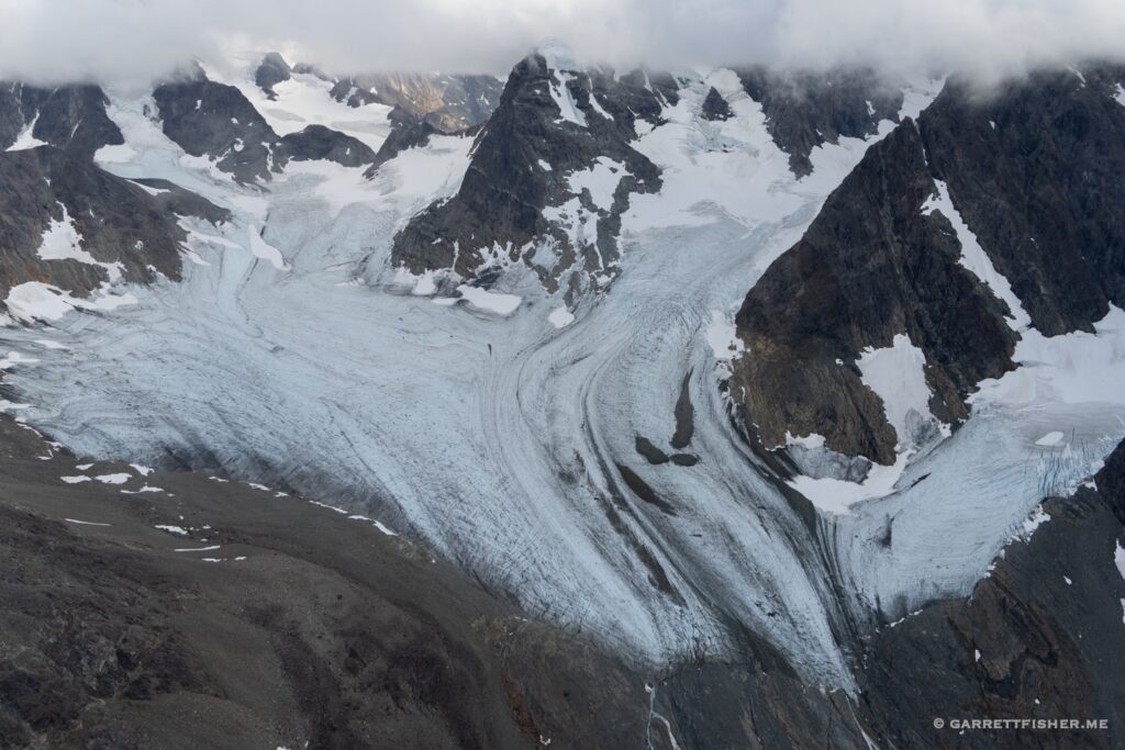
It is of the Fornesbreen, a glacier located at 69.5 degrees north, to the east of Tromsø, Norway.
“What were you doing up there?” one might ask, particularly since there is something of a gap in the continuum of my flight wanderings. I confess to largest drought of posts since I began blogging almost a decade ago.
To answer the question, it was part two of my ambitions to photograph the glaciers of continental Scandinavia. If one recalls from 2022’s glacier season, I seem to lack the obvious skill of looking at a map, seeing glaciers, and having the foggiest clue how many hours it is going to take to photograph them. Distance is not the issue; I can clearly see the expanse, distance from airports, and the speed of the aircraft. They teach what to do next before handing over a pilot’s license (calculate time in flight). The problem is the sheer mass of the glaciers in question. When they exceed an obviously small feature, then the magnitude grows exponentially. I find myself snaking around, performing 360 degree turns, and generally flying in such a way to guarantee that anyone accompanying me would vomit. It is something of a fusion of an artistic and aeronautical orgasm: one doesn’t know where it will go or how long it will last.
Thus, I could not photograph all of the glaciers in Norway and Sweden in 2022. I had to return for the northern half, for ice found north of 65 degrees north latitude. The flight north from central Europe will be covered in an AOPA article, so I won’t steal the thunder here.
This flight was one of many during the glacier binge. A friend had visited from Switzerland, desiring to take a flight, as he had done so in the Alps. Having thoroughly terrified this individual in the past at 13,000 feet, obtaining the evening money shot in somewhat gyrating turbulence near pointy rocks, we had agreed to keep the flight with wings relatively level and a length and style befitting an outcome where lunch remains inside one’s digestive system.
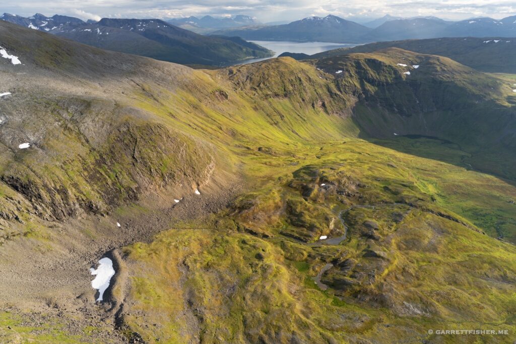
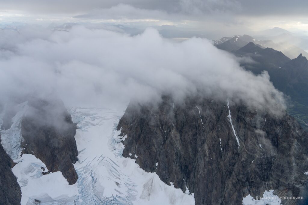
The path was basic, from Tromsø to the Lyngen Alps, a glorious mountain range protruding from deep Norwegian fjords. Airflow was out of the southeast, with clouds and precipitation over the spine of the Scandinavian Mountains, affording a stirring and eerie backdrop to luminosity fixed nearer to the Atlantic Ocean. To quote the passenger, lighting was “[freaking] awesome.”
Meahccevákkejávri. I am fairly certain this is the indigenous Samí language version. The Norwegian map seems to refuse to give me the name in Norsk.
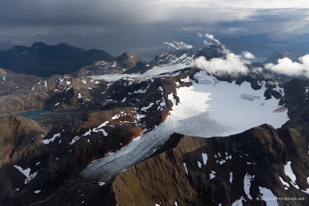
Gjømmersdalsbreen. Definitely in Norwegian, though it is about 2km from the Samí glacier.
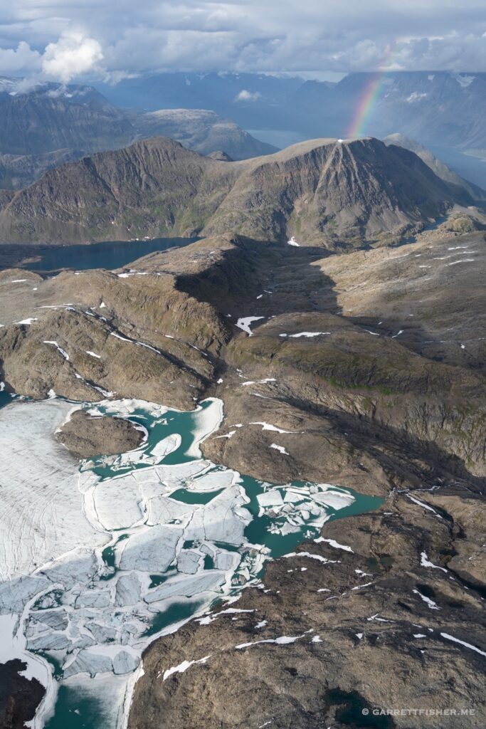
Sydbreen (fore), Midtbreen (rear).
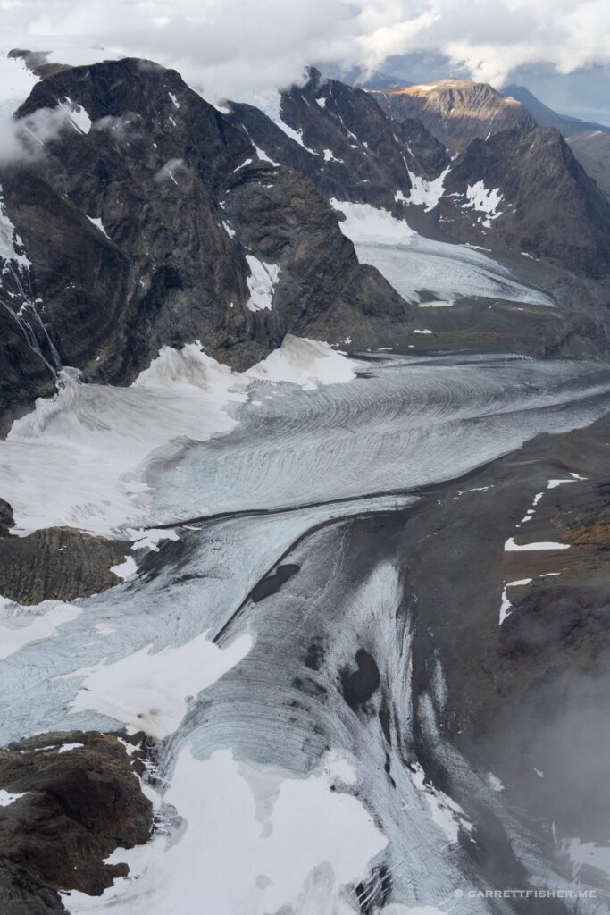
Jiehkkevárri. Roughly 6,000 feet.
Fugldalsvatnet, below Jiehkkevárri.
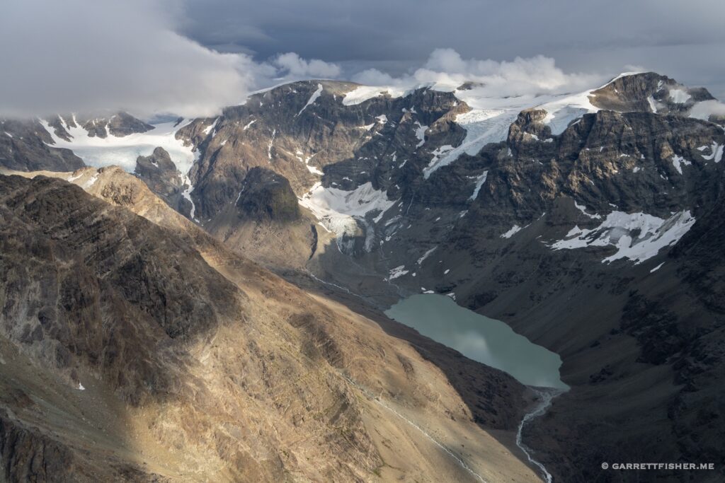
One of the outlets of Jiehkkevárri.
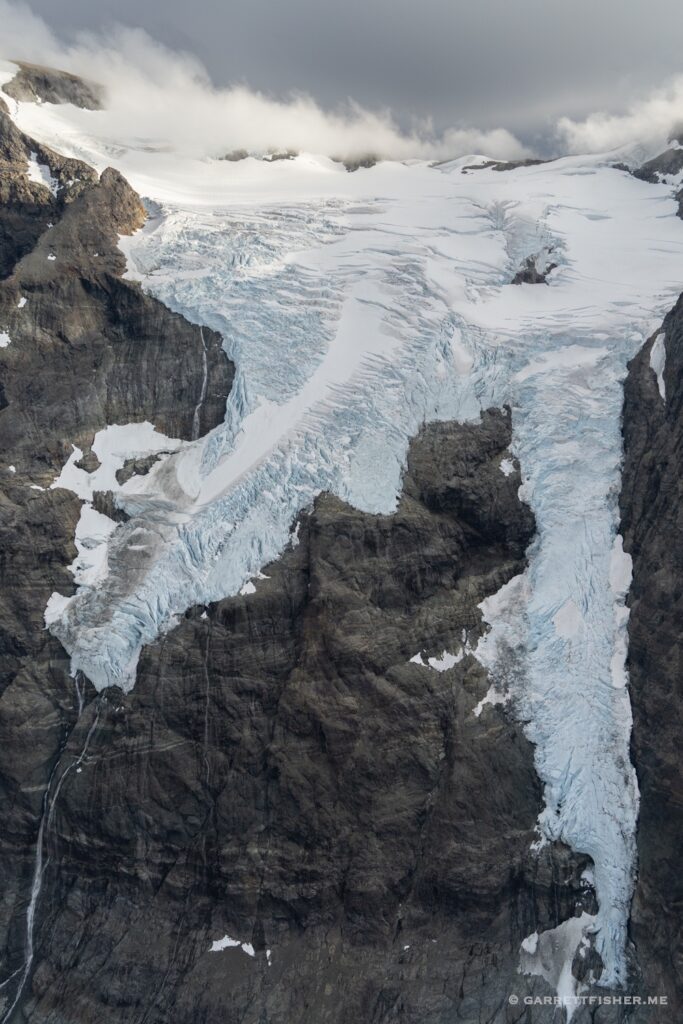
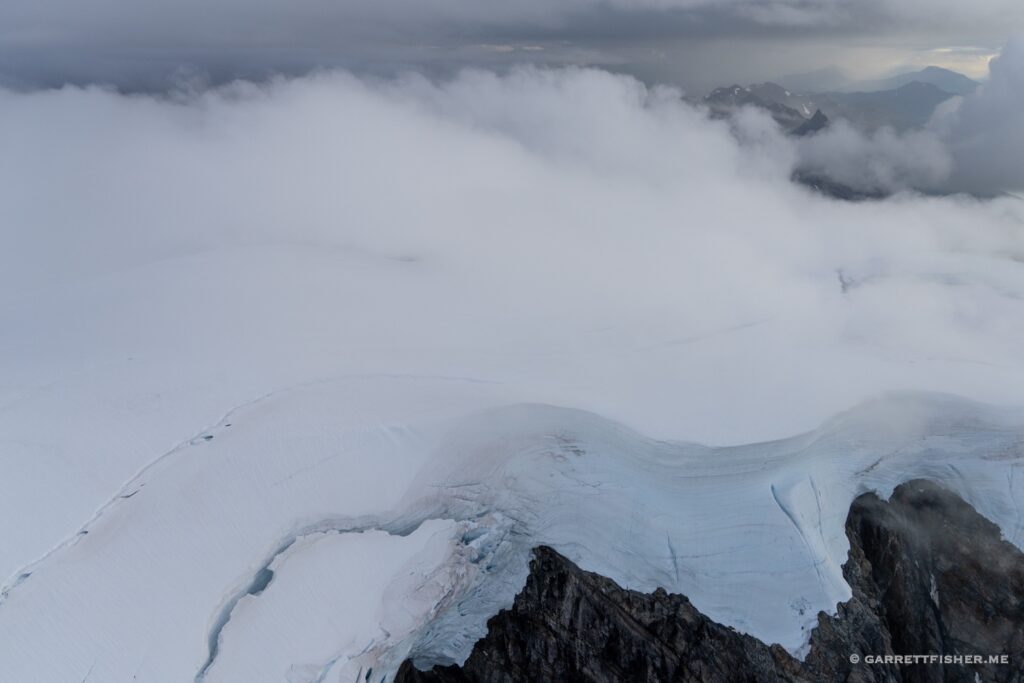
Hamperokken…on the way back to Tromsø.
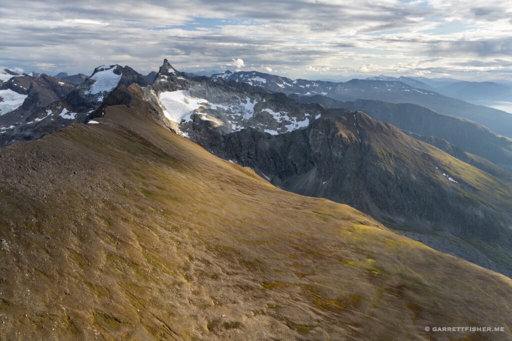
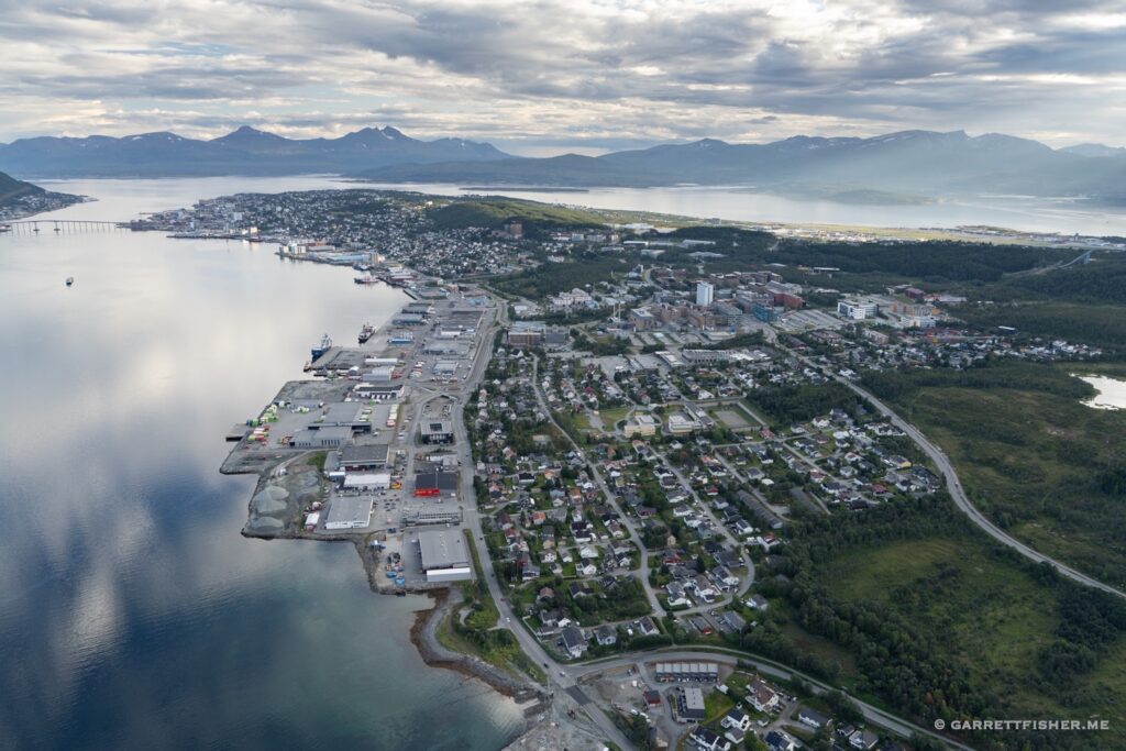
Western slope of Tromsdalstinden…approaching Class D airspace for Tromsø.
