Garrett Fisher

Author, Pilot, & Adventurer

Email subscription form header
Subscribe
Your email address:*
Please wait...
Please enter all required fields Click to hide
Correct invalid entries Click to hide
Powered by FeedBlitz
  • Writings
  • Documentary & Interview
  • Press
  • Economics
  • Maps
  • Flying Videos
  • TEDx Talk: Forget Economics
  • About Me

Powered by Genesis

Flights: Spain, Switzerland: A Crazed Aeronautical Bender…Seven Years Later

January 25, 2023 by Garrett

The flight was in mid-October, at 8,000 feet above sea level, in the Caribou Range of southeastern Idaho. It was a delightful early evening west of Afton, Wyoming, with an uncharacteristically thick pine and aspen forest, set against the arid rangelands just to the northwest of the deserts of Wyoming. The aspens were in bright autumn color, with thin high clouds partially obscuring the deep blue of the American West.

It wasn’t the stark beauty of the flight that made it memorable. One could say it was the opposite that made it stand out. After a summer of hundreds of hours of the most incredible flying I had experienced, it was a non-descript tail of a largely unknown mid-tier mountain range, photographed on an average day, with no outstanding reason for the flight. Those were the precise conditions for a person to engage in a reflective form of flying.

The plane would be heading to Europe a little over a month after that flight. It was on that evening that it occurred to me that, “you won’t be able to do this in Germany.” While I was heading for what I understood to be a next phase and an improvement in life, this was the first that I allowed myself to admit that the path would not be linear.

That flight in 2015 was part of a record-breaking year. 346.8 hours I flew that calendar year, from the Outer Banks to bottom of Colorado, including almost everything north to the convergence of Alberta, British Columbia, and Montana. It was something that I didn’t see coming, though I certainly wanted to repeat it. The problem that I did not know then was that it would take quite a long time before I could.

To fly that much in a year means that almost everything is working well. Health, finances, family circumstances, weather, free time, and location have to converge positively. They all aligned, living for less than a year on Alpine Airpark, Wyoming, what is now unquestionably a place limited to a very few. The Airpark had undergone a renaissance but was nothing of the expense that it is now. Health insurance was affordable, rent was laughably small, avgas was $4.25/gallon, and car fuel was $2/gallon. I was putting $10/gallon automotive fuel in the Super Cub last summer, having paid $15/gallon for avgas last spring. For 2015 to happen as it did, much came together. A practical view is that it was ultimately too early. Most who live in such places are almost retired, not in their early 30s as I was at the time.

It would take seven years to beat the record, with circumstances vastly different than the first round.

I didn’t think I would beat my calendar year record in 2022. I joked about the idea in late Spring, noting that I stood a chance, though I wasn’t sure it would happen. After flying 100 hours in Norway for the glaciers, I understood the idea to be in reach, though I still thought it was a bit silly, as the days would be getting shorter. Continuing my extended glacier season in the Alps, I still had a chance. By the beginning of November, I realized I could do it.

December was always the wildcard. It took some logbook analysis to understand that I fly very little in December. There is no reason other than length of day. Of all the places I have lived with a functioning aircraft in the month of December, I can pin the lack of flying on a motivational issue due to short days for most locales. The weather hasn’t always been a problem; Spain was often nothing but sun, and in one year I just didn’t fly the whole month. To break the record would mean flying in a way I never had.

It is a bit complicated when the sun goes down at 4:37PM. One must plan to leave around 1PM or 1:30PM to fit pre-flight, fuel and a reasonable flight in. That times a tad poorly against work and other commitments, though more regular and shorter flights seemed to work. I then hatched a brilliant scheme to fly to Spain with the Super Cub. After all, people use aircraft to get from point A to point B (or so I thought). That went to hell in a handbasket, though it knocked off a pile of hours.

I was left with the last bit in Switzerland, with the unheated PA-11. I managed to rig up a camping battery in the backseat to jack up the power to my heated motorcycle jacket. Aside from an ever-present terror of an in-flight fire or frying my overpriced electrical system, it helped blunt the self-induced misery that is sitting for hours above 10,000 feet in the middle of winter without heat. It didn’t help that the last two weeks of December were nothing short of windy the entire time. Who would ever think that sitting in 45kt winds in the Alps in a Cub for 2 hours is normal?

Finally, on December 30th, I limped not only past 346.8 hours, but past 350, the round number I was after. 350.1 is the new record, set seven years after my last one.

It took two aircraft instead of one to pull it off, a grinding pressure of the Glacier Initiative to give a reason to fly so much in the summer, and a bunch of other factors for it to work out. I am reluctant to say that everything is comparably ideal as before; I think I am too old and circumspect to make such a declaration. If anything, the sheer motivation of doing it was one factor, which forced the priority.

That 2015 flight lingers prominently in my mind. I have wondered if it is a proxy for the eternal question of which is better: flying in the Alps or the Rockies. That question cannot be answered in a simple form. I rather seem to think that the single flight represents the magnitude of the differences of both places and the path life takes, including how little we often know about it. Maybe I had a window into my older self or was just turning the page in my mind. In many ways, everything was simpler then, though it is something of an illusion of hindsight to put too much stock in the thought.

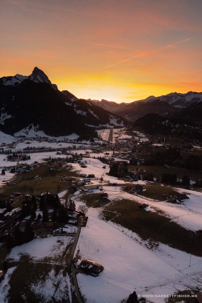
Trying out the low light settings on the camera, well after sunset. Base to final runway 26.

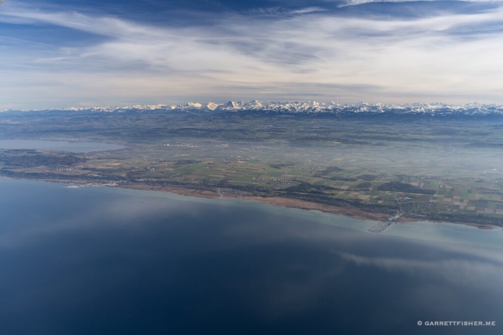
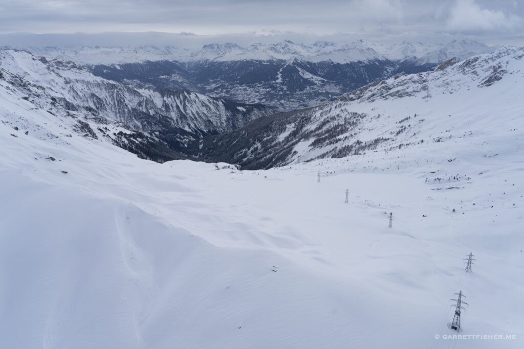
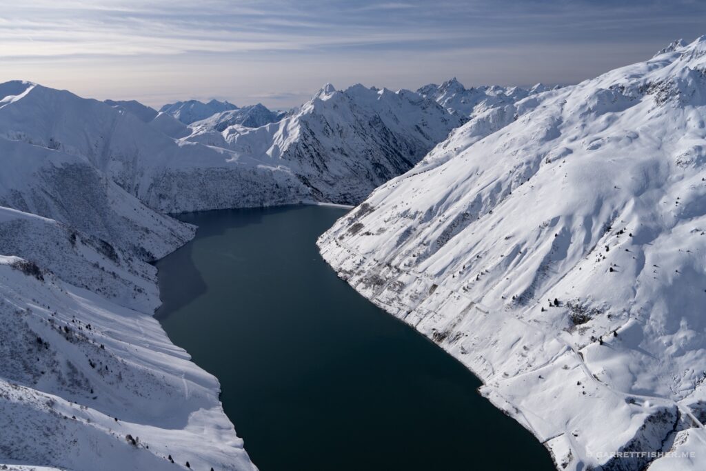
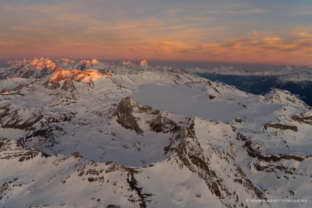
The flight that broke the record. Overlooking the Rhône Valley with Lake Geneva on the horizon. Unnecessarily windy.

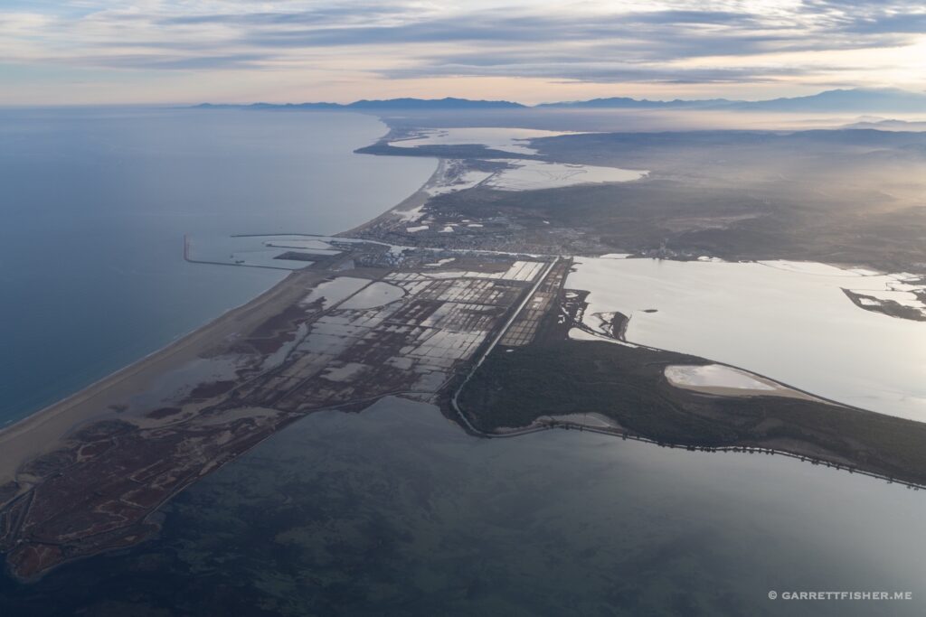
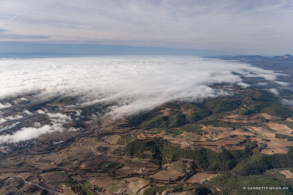
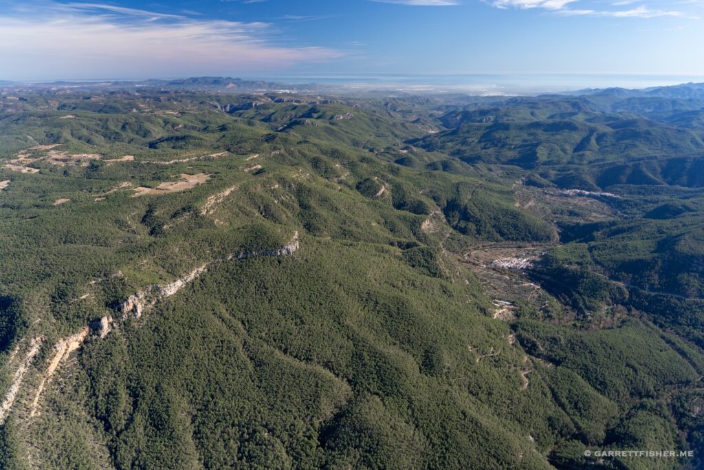
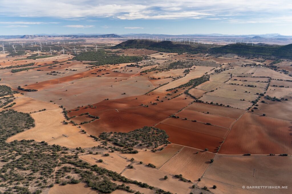
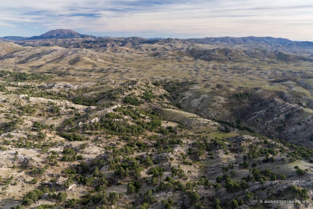
Mediterranean Coast of Spain with an eminently sore posterior, wondering why people think airplanes are used for transportation.

Flying around in wind and cold rain.

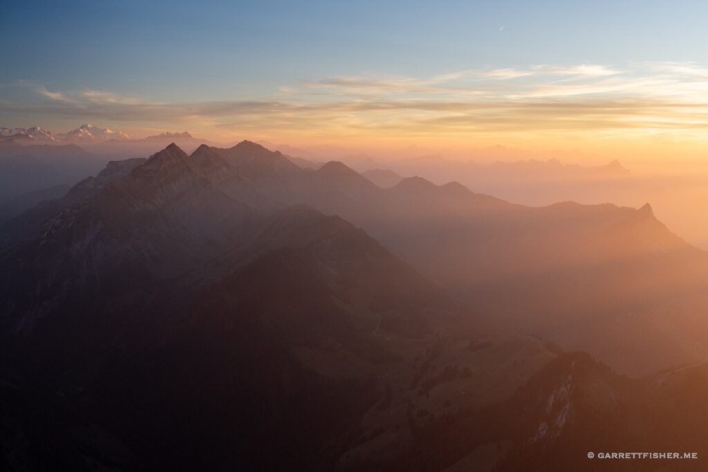
After getting pummeled by wind watching the sun set near Mont Blanc, racing past Dents du Midi at full speed, to land minutes before closing.

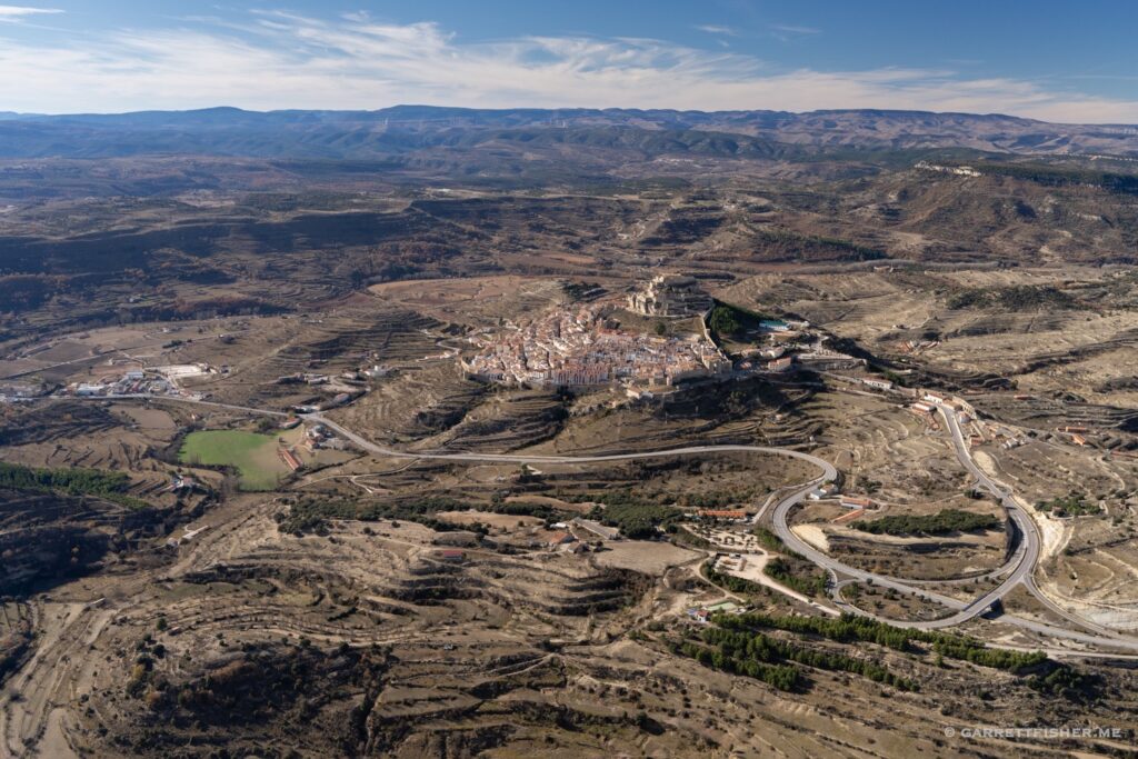
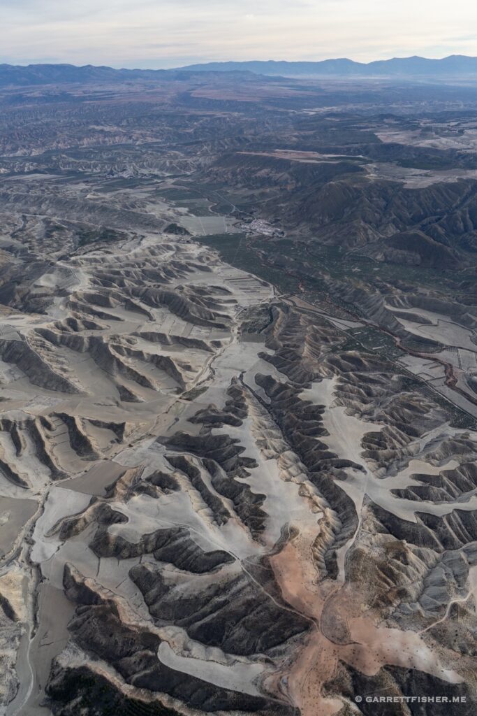
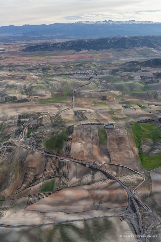
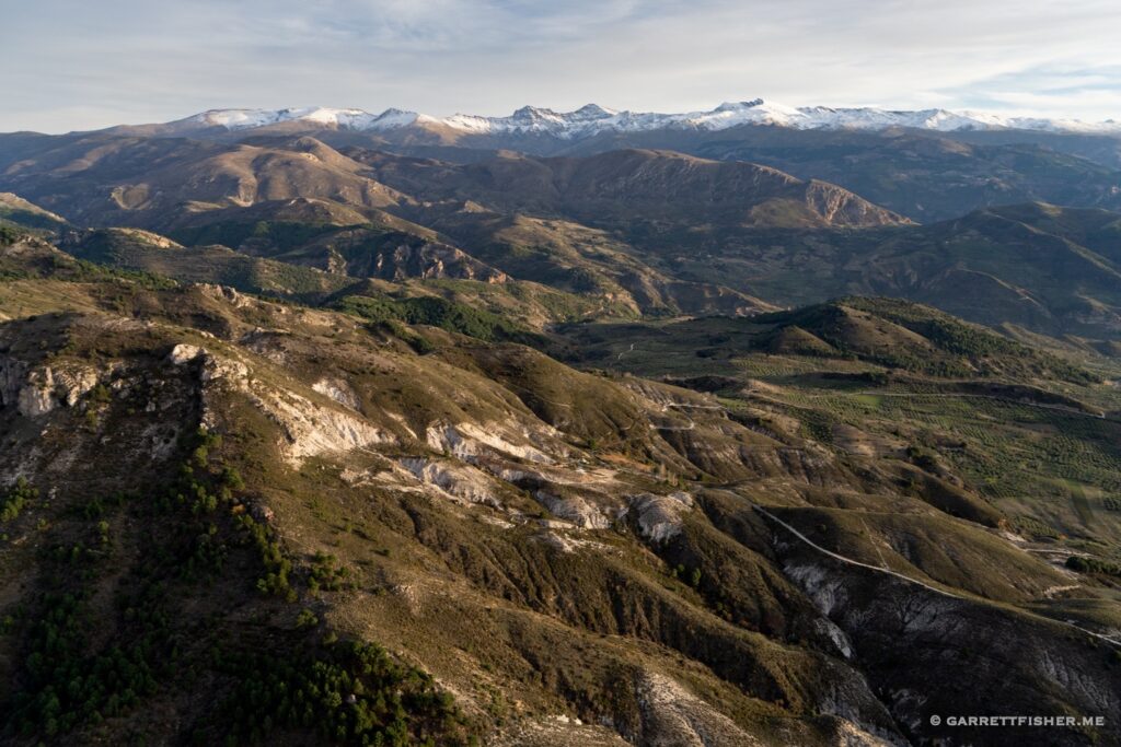
Wandering around the desert north of the Sierra Nevada in Spain. A few weeks later, a “pop up rave” would materialize not far from here, where 5,000 people converged, got as high as kites, and danced the night away. The police just watched. In the same week, a smaller pop up rave occurred in Bulle, Switzerland. By midnight the Swiss police had ended it and carted the organizers off to jail.

El Ejido, Spain. I have wanted to see this for over 8 years. Star Wars fans would mistaken it for Coruscant.

The camping battery electrical test flight. After sunset….turn on all the lights, crank up the jacket, and see what happens. Don’t worry, I tried it on the ground first. I had a Portuguese guy point a leaf blower at the wind-driven alternator while I tried to see if anything smoked with all of it running in the hangar. The best part about the Portuguese is that they do not think the involvement of a leaf blower with pre-flight planning is at all unusual.

This was a fun flight. 35kt south Föhn all over the Alps. There was a “Guggiföhn” phenomenon during the flight near the Jungfrau, with hurricane force wind gusts. Something seemed fishy with the erratic wind observations so I stayed away from it, and then read about the phenomenon on a weather blog.

I have this one labeled “Himmelflug” in my catalog. That is German for “Heaven flight.” 

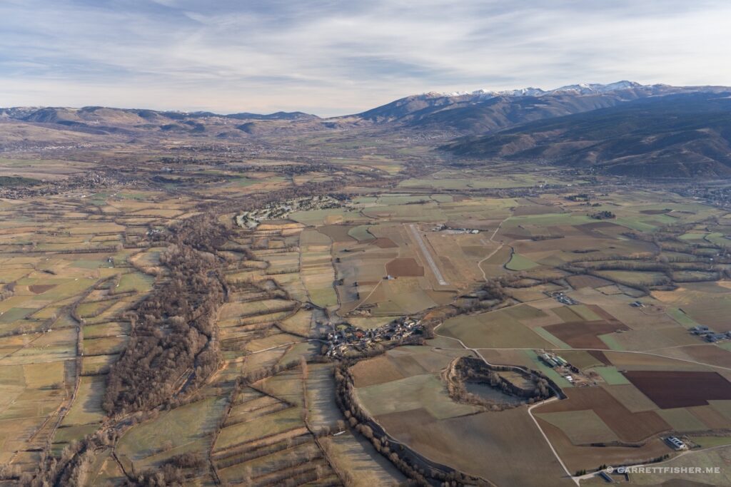
La Cerdanya in the Spanish and French Pyrenees. My first visit there since we left the valley. 

Solitude. Nothing short of heaven, provided that the propeller continues to spin.

Another windy sunset flight.

Exceptional wind as I chased a front that was heading east. It revealed brilliant sunset tones in its wake.

What 45kt winds look like at 11,500′. This is taken using a zoom lens from afar, of the Mont Blanc Massif. It is of blowing snow on the ridges. I got to enjoy this view for a solid hour, cruising at 23kt ground speed due to such ridiculous wind. It was not bumpy though.

Filed Under: Uncategorized

Flight: France: Surfing the Wave

December 19, 2022 by Garrett

On most days, when the forecast calls for 50 knot winds (57 mph, 92 km/h) in the mountains, I pass on the idea of flying. It is the logical choice, as the aircraft cruises at about 80 knots, which means one wouldn’t go very fast. There is also the matter of rotors and waves, as the winds get bent initially upward, then equally downward, with rotating tubes of air in between. A small aircraft cannot overpower these realities on engine power alone.

That is not to say that all wind is untenable. Conventional wisdom states a maximum of 20 knots, though that finds no reference in the law or in official regulations. 30 to 35 knots are a reasonable maximum if the conditions allow, though as mentioned before, anything more risks sitting still, “cruising” at 80 knots airspeed into the face of raging winds, going nowhere fast.

I will never really understand why, on some days, I look out the window, get a feeling, check the weather, and find the idea of 50 knots not a problem. On the day in question, it was closer to 35 knots over the western Alps, with higher speeds toward Mont Blanc, owing to an interaction with the famous Mistral wind. Winds also at 10,000 feet were of much lower speed, so I could pop up into the current, surf a bit, and come back. A quick calculation of GPS speed into the wind and briefly with it behind me at 16,000 feet confirmed that it was indeed 50 knots at altitude.

The interesting factoid that materializes on this flight is that it was the first in the Super Cub to Mont Blanc. I owned the aircraft for a year before I bothered to take it to the summit, though I did take the PA-11 there multiple times in the intervening period. Sure, the fact that the Super Cub spent a fair amount of time outside of the Alps is part of the equation, though wouldn’t the presence of more heat, power, speed, and climb rate instill the necessary motivation to take the easier aircraft? I took the Super Cub to Morocco and Norway before I took it a short distance to Mont Blanc.

Anyhow, it was an interesting ride clearing the turbulence layer at 13,000 feet. Once I reached about 14,000, it was up like an elevator in the ascending wave, staying on the north side of the summit. Had I slinked over to the Italian side, well, things would not have gone well. Winds are smooth on the windward side and are what I call “Mr. Toad’s Wild Ride” on the other, where if one gets caught in it, he must take the “royal flush.” Once sucked over the ridge, expect severe turbulence, the loss of 3,000 feet or more, and a vain attempt to get back. It likely won’t work due to downdrafts….so one merely flies to Turin, Italy instead. Best not to toy with it…which I did not.
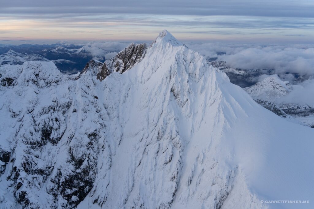
I would have gladly ridden the wave as high as it would go, though warnings about Class C airspace from my iPad and airliners overhead meant that ATC would not have allowed it there. That is for another day.

Approaching the aiguilles from the east, with some blowing snow on the ridges. 12,500 feet.

The first sign of an issue. The snow is blowing from north to south on the ridges, though the blowing snow in the foreground is going in the opposite direction! Where the two winds meet would be displeasing, so I kept a bit of distance.

Approaching 14,000 feet. More blowing snow. 

Up we go in the wind!

The summit on the right. Such blowing snow I find to be delightful. It is not frequent in an aircraft, as it is a sign of silly amounts of wind.

14,500′. Drifting snow below. 

And the summit from 16,700′. The summit is 15,771′. Italy on the other side.

Working my way back down to reasonable winds (and altitude).

Filed Under: Uncategorized

Flight: Switzerland: A Mystery on the Eiger, 700,000th Photo

November 16, 2022 by Garrett

On a flight prior to this one, I had noticed two odd black shapes on the north summit of the Eiger (3.967m / 13,057’). I thought at the time that it was two cliff-face tents, affixed by climbers that felt the need to sleep 8,000’ feet above their potential graves. When I flew past the Eiger again some days later in the Cub, the “tents” were still there, which meant one of two things: they are not tents, or the occupants were dead.

I made a swipe of the summit, from the Mittellegihütte to the east, southwest along the north face, with my telephoto lens in hand. In the end, the mystery appeared to be solved: it is a pair of rocks that, for some unknown reason, repels snow from them. Perhaps in my wanderings, I have discovered some kind of sneaky Swiss espionage installation.

The rest of the flight carried on, photographing late season glaciers for my upcoming book on the glaciers of Switzerland. While I have already published a book of the glaciers of the Bernese Alps, it seemed silly to include the existing photos, so I have been working on redoing the range. The supposition is that readers of my books purchase every single one of them, mentally catalog each photo, and get indignant that some are repeated. Perhaps I am overthinking that notion, though photographing glaciers a second time never hurt anyone.

I recalled before the flight that I was approaching image number 700,000, though I forgot about it until I landed. That left the image as a rather authentic selection from my binge of rapid-fire photography. I happened to be alleviating the perpetual boredom of looking up at the glacier from below, instead circling into a mid-glacier flat spot, looking away at the tongue that flows toward the Berner Oberland foothills.

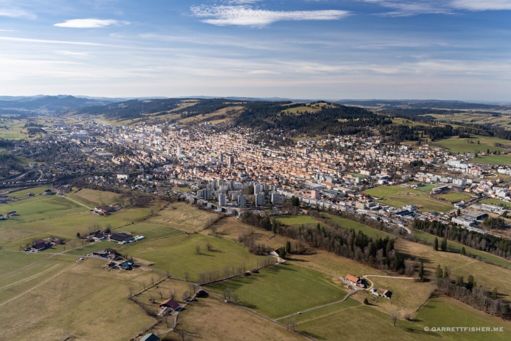
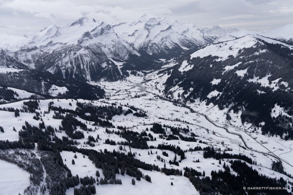
Gstaad. Mildly pretty.

Gspaltenhorngletscher.

Lauterbrunnen from the southwest, literally the “Valley of Death.”

Gutzgletscher. This kind of photograph is quite challenging and better obtained from the PA-11 than the Super Cub. For the record, I was up in the PA-11 for this flight.

Oberer Grindelwaldgletscher. This image will make it into the book, among others.

Approaching the Eiger, to investigate the mystery.

Mittellegihütte, on the east ridge of the Eiger.

Summit of the Eiger. Two black spots lower center left.

After blowing up the images and examining in great detail, they are just rocks. It still seems fishy. How is there no snow on them for days on end? The Swiss intelligence services might be eminently displeased with this image.

Silberhorngletscher, coming off the Jungfrau with Stuefeistigletscher in the background.

Tschingelgletscher, pointing toward the Jungfrau.

Slope of Wildi Frau. Wild woman….

Blüemlisalpgletscher, traditional view.

700,000th photo! Blüemlisalpgletscher, looking to the foothills. Thunersee in the upper right.

Altels.

Chüetungel, Lauenen.

Filed Under: Uncategorized

Flight: Norway, Sweden, Denmark, Germany, Netherlands: Losing My Flying-Over-Water Virginity

October 24, 2022 by Garrett

The last days of southern Norway were something of a whirlwind. It featured a final 8-hour glacier flying day with thousands of photographs, the next day flying to Bergen for the annual inspection, one day off, and then a two day minor flying binge to the southern part of the Netherlands. A long-awaited modification was due to be installed, so as part of repositioning the plane out of Norway, it went to the shop for some weeks of work.

By this point, I had flown the west coast of Sweden to Lolland Falster, Denmark twice. Since I was not heading south, but rather west at the bottom of the Jutland Peninsula, the more expedient routing was to hop over the water from Sweden to Skagen, Denmark, which would shave some time off the flight. I was on a bit of a crunch, as I had to make a stop in Norway for customs purposes, land at a viable customs airport in Denmark, and have enough fuel to have these points all work out. As it turned out, I could only make Texel for the night, which meant that I couldn’t do the whole trip in one day. There was enough daylight, just not enough opening time at airports. Why not just have them open when the sun is out? Perhaps we ought to close roads at 7PM also?

Anyway, the flight from Sweden to Denmark involved roughly 35 miles over water, which is 23 miles longer than my prior record, other than an ill-fated adventure in November of 1999, when I rented a 172 and flew from Buffalo, New York to Toronto, Canada, straight across Lake Ontario in strong wind and 6-mile visibility with water temperatures of 43 degrees Fahrenheit (5C). My rationale at the time was that “there are plenty of cargo ships heading to and from the port in Hamilton, so I can glide to one.” I admit a slight bit of pause when I was out over water and could not see land in any direction, but alas, downtown Toronto appeared out of the murk and life was good. I planned a return flight to the USA at night…in November….except I was saved from my own stupidity by the sheer fortune of the door falling off the aircraft before I started taxiing. We took a car home. Upon explaining ourselves to US Customs, we were “selected for random additional screening” at the border.

Somewhere since that monument to teenage stupidity, I developed a mortal fear of water. I don’t like it. That’s all. There is nothing more to it. It makes my skin crawl. I get the heebie jeebies. Everywhere I look, I see nothing but doom when over water…. images of an airplane cartwheeling in the water flash in my mind, along with sinking below, gasping for air, sharks, and the like. Oh wait, there was that kayak incident in Colorado when I sank in the middle of a 40F/4C lake, was gasping for air in the cold water, and had to swim to shore….

Water is not my thing.

The problem is, I had this grand plan to fly 300 miles over the North Atlantic for some silly adventures in the future. As soon as I pointed the nose to the wests-southwest at 4,500’ toward Denmark, I immediately hatched a brilliant idea how to not fly 300 miles over water in the future.

After about 15 minutes of teeth itching, I was over Denmark. Down to Billund for fuel, where I had the “Legoland approach,” then back in the air, crossing into the Fatherland for eventual landing in the Netherlands. I could have taken a longer flight and stayed close to land. The thought toyed with me repeatedly: out over the water, or close to land? “There is no good reason to take an extra risk.” “It doesn’t save much.” “But it isn’t that much risk.” “But its water.” “And I don’t want to fly an extra 20 miles. My ass hurts.” I suppose the logic behind the addiction of crime comes into play. If I did it once already without getting caught, why not do it again?

So, 50+ miles out over water it was, cruising over the German island of Helgoland, which has an airport. I suppose having a landing option in glide range for a tiny fraction of the crossing somehow made a difference. At any rate, I eventually reunited with the German coast, crossed into the Netherlands, landed at Texel, and completed the remaining 100-mile leg the next day.

85 total miles over water with only some modest heightened fear, yet I refuse the 300-mile trip. No one ever said fears make any sense. I’d take a forced landing on a glacier at 15,000 feet in the middle of winter any day over a water ditching.

What took 8 hours of Super Cub flying time and one overnight took 36 hours, a bus, tram, three trains, and two commercial flights to do in the reverse, arriving back in Norway….to begin the three-day drive south.

The Norwegian Air Force giving me an honorary overflight as I depart Voss, Norway.

Over the Hardangervidda Plateau. This should bother me just as much as flying over water….and it doesn’t.

West coast of Sweden, about to turn over the water. 

Even though I can see Skagen, Denmark on the horizon, I do not like it. At all.

Skagen.

Helgoland, Germany. A pilot friend noted that it is common to see visiting general aviation aircraft arrive here with an entire family (with small children) disembark, none of which have life jackets and no flight plan. If the engine quit, it likely would be the end of them given the water temperatures. Ignorance is bliss.

German mainland on the horizon. Clearly since I didn’t sink the first time, I am immune to risk now.

While one could argue that the scenery along the Dutch coast is pretty, it is hard to notice when one’s rear end is in a pitiful condition from too much flying.

Filed Under: Uncategorized

Flights: Norway: Sognefjord, Longest Fjord in Norway

September 24, 2022 by Garrett

I didn’t come to Norway for the fjords, per se, though they go hand in hand with the existence and location of the glaciers. Where Ice Age glaciers were largest, meltwater channels and other such geologic activity drove the scouring of the depths of the valleys that later filled in with water from the ocean, becoming the fjords as they are. Some of them are thousands of feet deep, in effect an extension of the orography present above the ground.

Of all things, the Alps offer an above ground perspective of what the depths of a fjord might look like, as similar deep valleys are all above ground. One could even argue that such lakes as Lake Geneva, Vierwaldstättersee, Lake Constance, and the Italian Lake District are effectively fjords without connecting to the ocean. The difference pertains to the elevation of the plains abutting the mountains. In the Alps, it is above ground at the base, whereas Norway’s mountains terminate at the ocean.

In any case, the Sognefjord is the longest fjord in Norway. It is also the second longest in the world. Given its proximity to the base of operation, it was a regular feature of flights to and from the high terrain. My default cruising altitude when crossing the fjord was 5,500 feet above sea level, as I had to clear either a ridge, or the Fresvikbreen, a plateau glacier on the south side of the fjord. I was also frequently at 5,500’ to 6,500’ when wandering around the Jostedalsbreen and nearby glaciers.

It is unfortunate that I did not have a chance to fly the length of the fjord in an east-west direction. My crossings were in various places, at various times, mostly on a north-south axis. In any case, it is not a land flowing with milk, honey, and emergency landing locations. Much of it was rather severe, with a farm field or two that I regularly kept in mind, or just resigned myself to getting wet if the prop stopped spinning. I wore a lifejacket for virtually all flights.

Aurlandsfjord, an arm of the Sognefjord. Any other fjords mentioned from here on out are branches of the main one.

Fjærlandsfjord. Jostedalsbreen hiding in the clouds.

Nærøyfjord, from a mile above.

A breezy Sognefjord, looking east.

Westward view above Vikøyri, with a tad of rain.

Aurlandsfjord again, from a mile above.

From the north…

Lustrafjorden, something like 120 miles from the ocean.

Convergence of Aurlandsfjord & Nærøyfjord. The emergency landing locations are delightful.

Nese.

Lustrafjorden again, with an offensively large cruise ship.

Nessane.

Fjærlandsfjord again, looking westward toward the ocean.

Looking south…

A nice evening…

Filed Under: Uncategorized

Flights: Norway: Hardangervidda, Largest Mountain Plateau in Europe

September 17, 2022 by Garrett

I initially read that the Hardangervidda Plateau is the “largest eroded peneplain in Europe.” That wasn’t attractive, so I kept looking and found that it is the “largest highland plateau in Northern Europe.” That won’t suit, so I dug around until I stumbled across a respectable site that stated that it’s the “largest mountain plateau in Europe.” That sounds about right for my “ours is bigger than yours” mini-series of blog posts, so let’s run with it. Here is the thing: it is a giant plateau, almost all of which is above timberline, for which I have seen nothing like it. It is a large pile of rocks, bogs, water, snow, ice, wind, clouds, and reindeer going on for literally hours of flying. In short, it is delightful.

Granted, there is an inverse relationship between its delight and the suitability of emergency landing locations. The place is hundreds of miles of relentless cheese-grader rocks. I would dream of a large snow field. I’d seriously consider a glacier. I might even dump myself into a freezing cold lake. Anything else is a rapid transition from flying….to coming to a complete standstill…likely almost immediately. Thankfully, it was not necessary to test it.

There is a certain freedom that arises flying above the high-altitude plateaus of Norway. The Hardangervidda is not the only terrain of its sort; it is merely the largest continuous feature of its kind. In many other areas, after a profoundly deep fjord bisects rock thousands of feet tall, the above-timberline glory continues in its resplendency. Many times, after having finished a glacier binge, I had a long flight back to base, most of which was over terrain like this. It was peaceful.

What is interesting is the raw freedom that is a little different than mountain flying in the Alps. The Alps rise from low valleys to dizzying heights and come right back down, often rather quickly. While that means incredible features, it often does not entail a continuous presence at high altitude or, if it does, it means going from near one peak, over a valley one to two miles below, and then to another peak. There is something about being near the ground yet in forbidding terrain that makes it even better (though, on balance, I prefer the Alps).

Norway’s relief is also largely measured in its fjords. The plateaus suddenly drop off, sometimes almost vertically, to bodies of water below. That is the majesty of Norway, apart from a few mountain ranges with some basic relief. In any case, it is something I wish to return to at some point…. except in the winter when snowpack can reach as much as 20 feet deep.

Crest of the Hardangervidda…in mid July. A few small glacial features lurking under the snow.

Hardangerjøkulen, the largest glacier on the plateau.

Cheese grater glory, though there was some snow at this time. I did have pause that a forced landing on “snow” might be a small lake, for which I would then fall through the ice and eventually die. This place is a cornucopia of ways to end up dead if the engine quit.

Where the Hardangervidda gives way to the Hardangerfjord. The weather here is usually fantastic.

About a month later, in a similar (but not exact) location. If one wishes not to have a forced landing on the rocks, then just glide down below (trying to avoid massive power lines), and sink it into the water instead. I wore a lifejacket on every flight over the plateau for that reason.
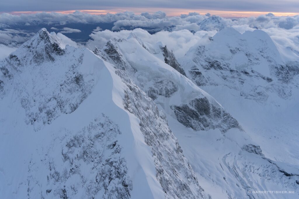
More of the contiguous section of the western part of the plateau.

This time with some glacial features. To the left, it is still the plateau (above timberline and all) though lower. To the right is the highest part, where I spent most of my time.

The eastern part of the plateau gets less gnarly, though landing here wouldn’t be much better. It is rougher than it looks.

The lower part, looking to where it ascends to the higher part. No trees, no settlements…just rocks mostly.

Getting lower, though vegetation is very boggy. Soil is shallow, so walking across much of this would be really squishy and difficult. 

A different flight, earlier in the summer, this time from Fagernes to Voss. One can see scrubby trees giving way to grass then rock…and then it carries on uninterrupted to the right as it ascends.

Even the valley below is mostly treeless. It plays tricks on the mind that the place is somehow semi-arid like the US West, which is totally false. This place is as wet as it gets. It is just cold, above timberline, and often devoid of soil.

An abundance of water bodies substantiates that there is no illusion of “dryness” here.

Filed Under: Uncategorized

Flight: Norway: Galdhøpiggen, Highest Peak in Northern Europe

August 20, 2022 by Garrett

It is not unreasonable that many of the largest geological features by various measurements are found in a similar location. Sizable tectonic movements coupled with abundant precipitation has created some monstrous icesheets in the past, the movement of which created various intriguing things. The tallest mountain in Norway, Scandinavia, and Northern Europe is one of them.

Galdhøpiggen is 2.469m / 8,100’ tall and found some distance east of the Jostedalsbreen. Precipitation here is much less than over the aforementioned glacier, owing to a range of mountains that absorbs the first round of incoming Atlantic moisture. It is higher and further inland, which means that temperatures are colder. Therefore, a few glaciers flow from the mountain.

The elevation of the mountain itself is on the low side of my exploits. I used to base the PA-11 at a runway sitting at 9,927’ in Colorado in a valley, whereas in almost every flight in Switzerland, I have to exceed 8,100’ to get over terrain to get where I want to go. On the other hand, when I did the peaks over 6,000 feet in North Carolina, where I presumed it would be “easy,” it was quite challenging due to weather and distance.

This peak is part of a list of 189 peaks over 2000 meters in Norway, of which I have now flown them all. True to form, the list seemed easy as I sipped tea while sitting in front of my computer over a thousand miles away. When it came time to fly to them all, it was a lot of work, due to a fusion of wind, poor weather, and distance from airports. I suppose this will be the reality of every mountain peak conquest, which is part of the fun.

Hurrungane Range. This deceptively from a distance looks like the tallest peaks in the region, though it is not. Galdhøpiggen lies a bit to the east.

Vetle Skagastølstindane from the north. Still not the biggest one…though it prominently appears on the horizon all the time. Styggedalsbreen flowing from it.

Galdhøpiggen, not looking all that prominent, though it is the biggest one in Europe north of the Tatras. Svellnosbrean glacier below.

Galdhøpiggen peeking on the right. Nørdre Illåbrean to the left with Tverråbrean below. 

Svellnosbrean again.

Storjuvbrean left, Svellnosbrean right, with Galdhøpiggen, from the west.

Galdhøpiggen from the south.

Galdhøpiggen from the northeast, with the Styggebrean.

Same thing…just closer.

From the north. Styggebrean left with Storjuvbrean to the right. I must say that I do not mind a sea of rocks and ice with cold wind. 
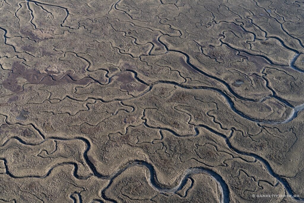
Filed Under: Uncategorized

Flights: Norway: Jostedalsbreen, Largest Glacier in Continental Europe

August 7, 2022 by Garrett

There is a reality that I have come to discover endemic to flying binges: my desire to blog evaporates. Last summer, during the heat of the moment flying to thousands of glaciers of the Alps, I barely blogged at all. Last month may have been my second busiest flying month to date and, well, here we are barely rustling the energy to get a post going.
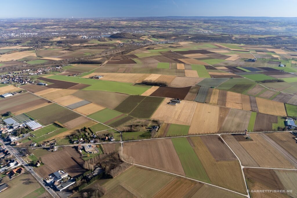
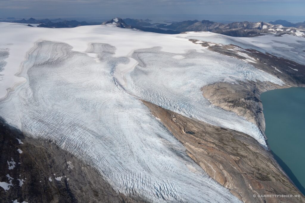
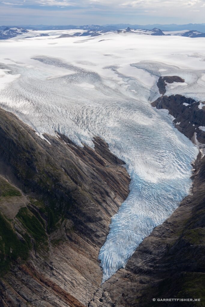
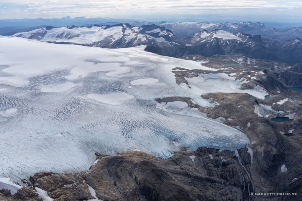
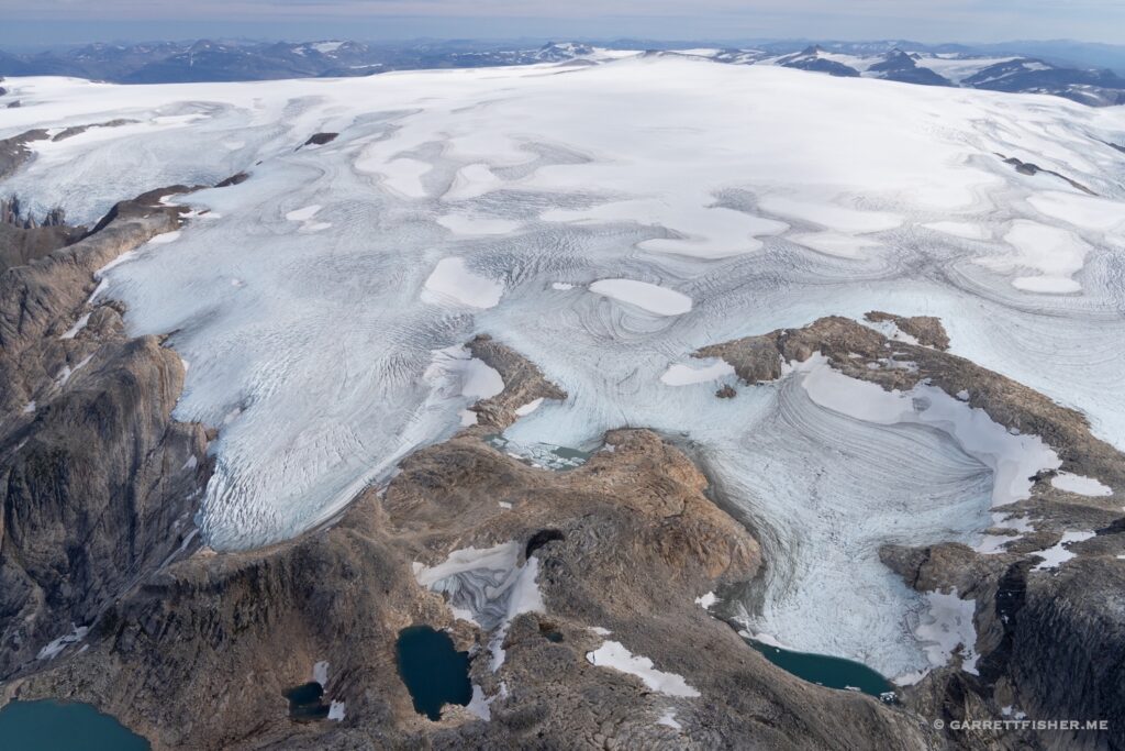
It did occur to me that I did start a non-profit called the Global Glacier Initiative with a mission to fly to as many glaciers as possible and photograph them. I also happen to have an infatuation with glaciers. Does it not make sense to devote a blog post to the largest glacier in Continental Europe, which is also the largest glacier that I have ever seen?

This is how I find myself motivated to post on this illustrious rainy and cold morning in the mountainous west coast of Norway. There are better locations to spend the summer if one cares about fine weather. I still question if I find such weather a problem. It is the coldest summer I have experienced in my time on this earth, even chillier than Breckenridge, Colorado at 9,360’, where the temperature exceeded 80F once.

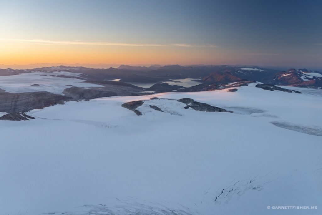
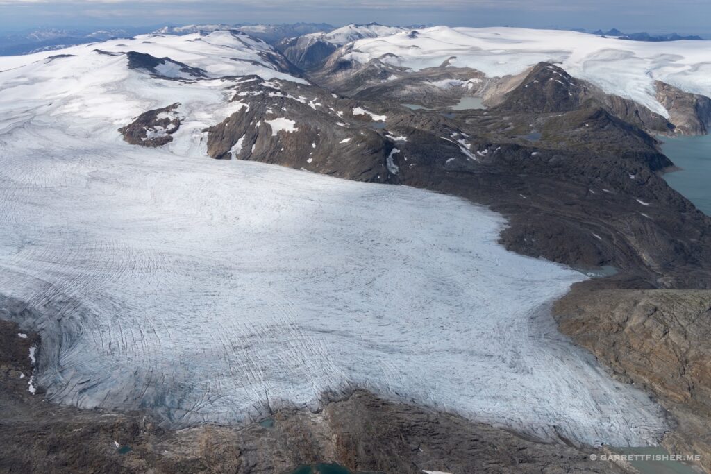
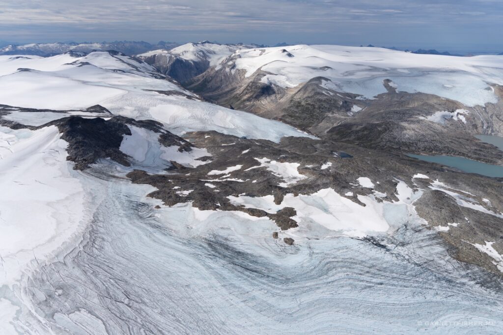
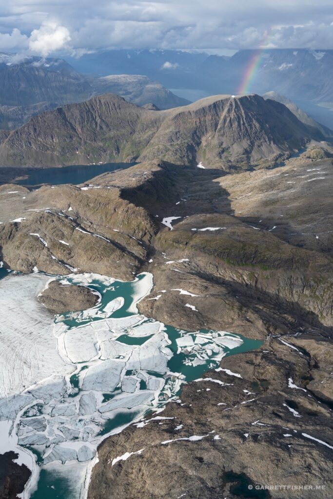
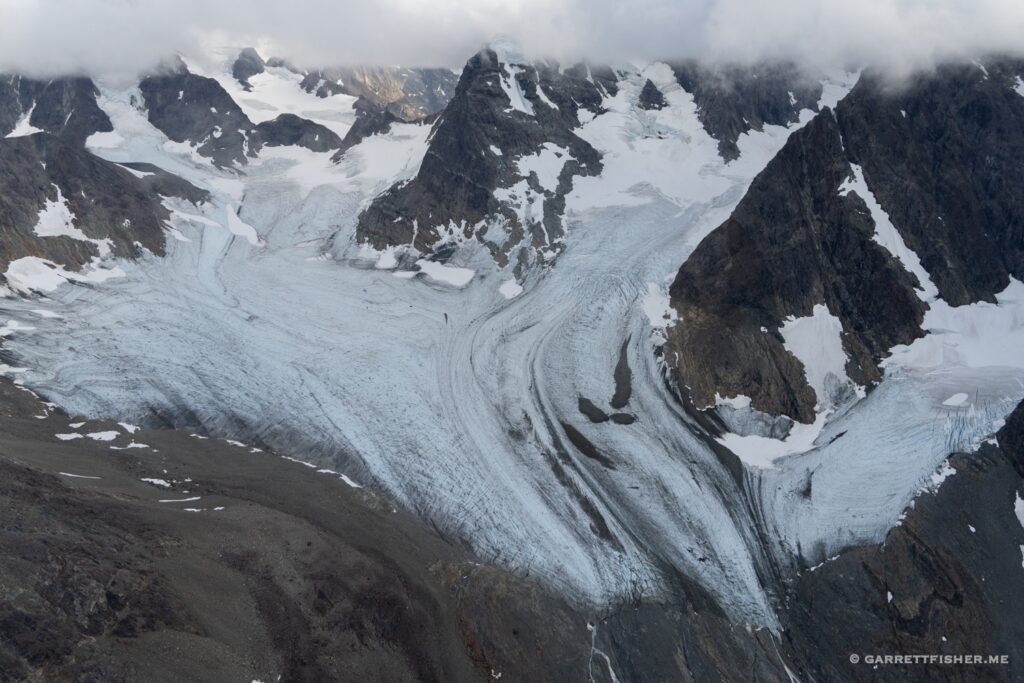
The Jostedalsbreen is a plateau glacier oriented southwest to northeast, with a maximum elevation of 2,083m / 6,844’. There are countless outlet glaciers which proceed from the plateau, which lead into steep glacial valleys that often become fjords. Some of them connect directly to the ocean, whereas others form large glacial lakes. I must confess that I am awed by the severity of what 6,844’ terrain can offer here. Recall that I am accustomed to the drop from the Jungfrau at 13,642’ to Interlaken at 1,863’. One can understand the skepticism about such shorter heights.

The weather is naturally complicated. Thousands of miles of the warm Atlantic, fed by the Gulf Stream, comes to a harsh and abrupt end, as weather systems slam into mountainous terrain. Some areas to the northwest of the region receive as much as 220” of liquid precipitation per year in the hills. It is obviously raining the majority of the time. On marginal days, which I have flown, the southeast side of the glacier is exposed to the sun, with clouds arcing over the top, and raucous winds.
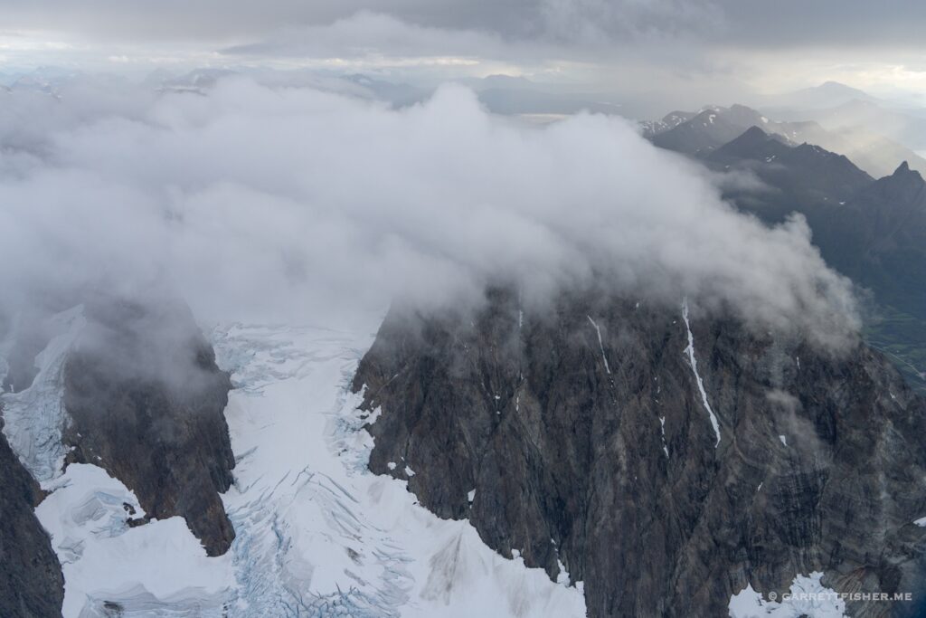
Bjørnakyrkjebreen, an outlet glacier. The plateau glacier is hiding in the clouds.

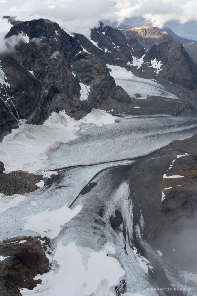
Austerdalsbreen, looking down.

Baklibreen. The large part of the glacier is hiding in the clouds. 

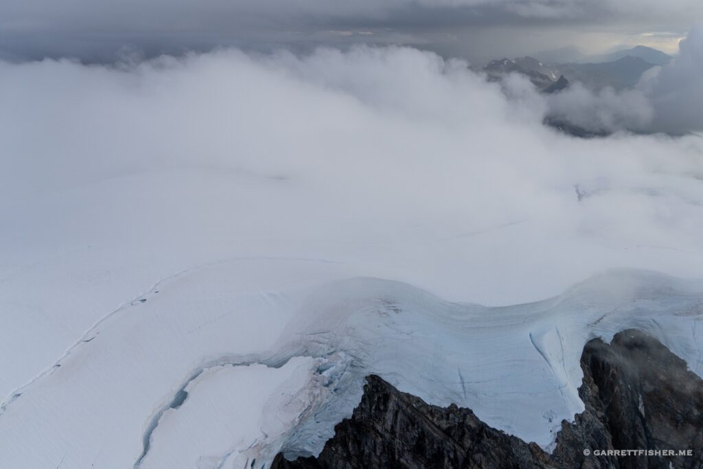
Jostedalsbreen. A wonderful mix of snow, ice, and clouds.

The first time I photographed a glacier in the rain….

Lundabreen.

Taken at 9:30PM. There are certain advantages (and annoyances) to the sun setting at 11PM and rising before 4AM.

Langedalsbreen. This is the thinnest part of the glacier complex, as one can see that the glacier does not go very far on the other side. When one adds up continuous ice to the left and right, it goes on 37 miles.

Kjenndalsbreen. Finally got to the north side, where the weather is usually worse.

Kjelkevarden (rock on center right). Elevation 1,717m / 5,633′.

Tjøtabreen.

Lundabreen again.

Southwestern part of Jostedalsbreen. Ice cap elevation 1,647m / 5,404′.

Looking toward Tunsbergdalsbreen. I believe it is the longest outlet glacier in this complex.

Odinsbreen & Torsbreen, which lead to the Austerdalsbreen below.

Probably north of Austerdalsfjellet, though I am sure no one cares about the name. The clouds left are orographic in nature and often slither along the glacier from the northwest.

Bøyabreen. The water in the distance is the Fjærlandsfjorden, which connects to the Atlantic.

Bjørnakyrkjebreen & Langedalsbreen.

No particular name for this piece of ice. It was quite nasty wind in here.

Austerdalsbreen again. I know, overkill. I should break all of this down into bite size fragments suitable for the attention span of a gnat.

West of the Fåbergstølsbreen. One has to give the Norwegians credit for a creative alphabet.

Upper part of the Tunsbergdalsbreen.

Lower part of the Tunsbergdalsbreen.

I think this is the Bergsetbreen.

Småttene and Strupebreen, which merge to form the Lodalsbreen.

Filed Under: Uncategorized

Flights: Norway: Flyraseri ikke Flyskam

July 17, 2022 by Garrett

There is a phrase that was coined in Scandinavia, flyskamm, which means “flight shame.” It denotes the feeling of environmental sensitivity regarding carbon emissions for airline travel. Before I get into flyraseri, its alter ego, I ought to address a question that comes up regarding my glacier photography pursuits. Flying a Piper Cub or Super Cub is compared with jet aviation (invariably by someone who just returned from a 20-hour flight to New Zealand on holiday), and then I am asked: “How do you answer using aviation to photograph glaciers?” The answer has a thing or two to do with fuel consumption with each aircraft type and then we carry on.

I wonder which one uses less fuel….

Flyraseri, as I call it, known in English as “flight rage” is a thing. No, it is not unruly passengers on airliners, but rather the built-up tension that results from either not flying or, as I have come to understand, the tension around being in a new location and wanting to get up in the air as soon as possible. I first discovered it when I repositioned the Cub to Portugal some years ago. I returned to bring the car and other items some weeks later, tied to the formal arrival with our rental accommodation. The weather was not good, though I found myself in the air, wondering how I would get back down in a raging crosswind on a flooded coastal, downslope runway. I am still here, so that says something, though who knew that wet sand is that slick?

There was quite a problem that had concocted itself in Norway. While I could rejoice at bringing the Super Cub from almost Africa to Skien, Norway in May, the weather was not cooperating for my July arrival in Norway. We had the car ferry overnight from Denmark to Bergen, Norway planned, though forecasts indicated that the only day to make the 2-hour flight from Skien to Voss was on the day of arrival. I bought a ticket from Bergen to Sandefjord a week before, only to watch both the weather tighten and come to realize that I might have chosen a silly time. The ferry landed at 12:30, and the flight took off at 2:15. My refundable ticket proved to be useless, as a pilot strike meant other options were filled, so I either would get the plane or leave it….for a week. How ghastly to contemplate.

My wife questioned the merits of such a stressful endeavor. Can we get off the ferry and get to the airport in time? “You’re going to have me get to the house by myself? I have never been in Norway.” Ever the tender husband, I kindly suggested that she figure it out. “Would you have me leave the airplane for a week on the other side of the mountains?” Knowing the bull-in-heat tension that would bring, I found myself on a turboprop flight to Sandefjord at 2:15, then a bus, train, and car ride to Skien, where I took off into worsening weather to cross Europe’s largest above timberline plateau, the Hardangervidda.

The flight was a baptism in wind, lowering clouds, ice, rock, trees, and fjords. Norway is more impressive than I expected.

While I snuck in one hour before rain, that didn’t solve the tension that arose 4 days later. The rain has been quite bleak, to the point of Norwegians whining about it (who doesn’t love summer afternoons in the 40sF/9C?). A weather window materialized, so I set off into the hills, wedged down an utterly stunning fjord, over to the Sognefjord, the longest in Norway and second longest in the world. Perhaps it is even prettier when the weather looks like it is trying to kill you.

Norsjø.

Seljordsvatn.

Somewhere near Krossen. Doesn’t exactly look inhabited.

Hardangervidda Plateau. 

Røldajsvatnet.

Åkrafjorden.

Southern terminus of Folgefonna, a rather large glacier.

All of this is glacier ice covered under snowpack.

One outlet of the glacier. White smooth snow in the distance is still glacier.

The glacier is 25 miles long. Hardangerfjord to the right, Norway’s second longest. It goes around the glacier, out to the left (out of sight) and eventually to sea.

Hardangerfjord with Hardangerjøkulen glacier on the right horizon.

Vangsvatnet, approaching Voss.

Voss. The town was a hotspot for Nazi resistance, until the Luftwaffe bombed it April 1940. 

Four days later….near Oppheim, heading into the rainy hills.

…where I discovered Nærøyfjord, a UNESCO World Heritage site. I am flying at 2,700 feet above the water!

Over Sognefjord. An enlarged version of the image shows the longest electric span of wires in the world. I was at 2,700′, while wind reports at 3,806′ were 45kt. It was a tad like riding a bronco at times.

Time to turn around! The only way back is the way I came, which is the farthest water on the left, then down a long fjord to the right. On every flight after this, I have started wearing a lifejacket.

Nærøyfjord to the right. The only emergency landing option is the water. The fjord is up to 4,000 feet deep, depending on the location.

Heading up the Nærøyfjord. Two tiny emergency spots available. This fjord is one mile from the water to the top of the terrain.

While this field below looks suitable if need be, a boat tour through here revealed some different realities.

Approaching Voss from the north. Obviously ideal flying weather in the fjords and mountains…

Filed Under: Uncategorized

Flight: Switzerland, France, Italy: 2,000 Hours & FL160

July 9, 2022 by Garrett

Once I figured out that I was approaching 2,000 hours of flight experience, I developed an internal itch to do something daring. For some reason, I had not flown to Mont Blanc in over 7 months, despite adding a more powerful [and heated] aircraft to the fleet. I think I got distracted by the ability to fly 30 minutes after sunset, thus enjoying nearby sunset tones in the Bernese Alps. Anyhow, Mont Blanc was on the brain, so I decided to make a go for the summit in the PA-11.

I can probably count on one hand the number of times I have actually summited Mont Blanc. It takes 90-105 minutes to get there, of which 60-75 minutes are spent circling the mountain to gain altitude. The higher the airplane gets, the slower it climbs, requiring flirting with whatever ascending air can be found. That is probably the reason I keep things to 14,500’ and below most of the time, as the view is substantially good enough, and the workload is less. I suppose there could be some reticence wandering around in an ancient [unheated] taildragger more than halfway to Everest, but I digress.

I had one failed attempt due to weather. I thought it would be a chance to surmount some menacing clouds, only to turn the clock over at 2,000 hours while having to avoid some snow at the French border. This flight followed on the next reasonable day, which was augmented by the glory of towering cumulus and cumulonimbus in the background. Usually, the bad weather is hanging out over Mont Blanc itself, so it was nice this time to have it serve as a backdrop. It did seem to be on the march toward the summit, so after getting my jollies, it was out of the flight levels and back to earth.

French and Swiss borders at about 11,000 feet.

I am sure this is what Piper had in mind for the aircraft when they designed the PA-11.

Mont Blanc, from my common altitude.

Italiano side of the mountain at roughly 14,000 feet. 

Southeast face beneath the summit. The risk here is sudden wind doing something unfavorable, given the angled slope on the north side and massive vertical drop on the lee. I found a bit of lift ironically, so I ran with it.

While it looks like I am above the summit, I am about equal with it (15,771′). 

Now I am above it. 16,000 feet. Some lovely thunderstorms in the background accenting the image. Also note that the clouds on the west side of the summit have grown in just 5 minutes.

The summit clouded in as I was beginning my descent.

Plateau du Trient, Switzerland (ie, its a glacier). Clouds gently hugging on three sides.

Mont Blanc from the Bernese Alps. It is in the jumble of clouds on the center right horizon. Nothing sets one’s mind straight like a jaunt to an ice cap without a sufficient jacket. Life is good.

Filed Under: Uncategorized

Next Page »
  • Español
  • Français
  • Català

Blog Posts

  • Flights: Spain, Switzerland: A Crazed Aeronautical Bender…Seven Years Later January 25, 2023
  • Flight: France: Surfing the Wave December 19, 2022
  • Flight: Switzerland: A Mystery on the Eiger, 700,000th Photo November 16, 2022
  • Flight: Norway, Sweden, Denmark, Germany, Netherlands: Losing My Flying-Over-Water Virginity October 24, 2022
  • Flights: Norway: Sognefjord, Longest Fjord in Norway September 24, 2022
  • Flights: Norway: Hardangervidda, Largest Mountain Plateau in Europe September 17, 2022
  • Flight: Norway: Galdhøpiggen, Highest Peak in Northern Europe August 20, 2022
  • Flights: Norway: Jostedalsbreen, Largest Glacier in Continental Europe August 7, 2022
  • Flights: Norway: Flyraseri ikke Flyskam July 17, 2022
  • Flight: Switzerland, France, Italy: 2,000 Hours & FL160 July 9, 2022
  • Flight: Day 4: Sweden, Norway: 56N to 59N July 6, 2022
  • Flight: Day 3: Netherlands, Germany, Denmark, Sweden: 53N to 56N June 27, 2022
  • Flight: Day 2: France, Belgium, Netherlands: 44N to 53N June 19, 2022
  • Flight: Day 1: Spain, France: 36N to 44N June 4, 2022
  • Flight: Spain: Rock the Casbah, Sierra Nevada, Africa on the Horizon May 8, 2022
  • Flight: Portugal, Spain: Promontorium Sacrum, Last Sausage Before America April 26, 2022
  • Flight: Spain, Morocco: Spanish Africa, Pillars of Hercules, Southernmost Point in Europe April 18, 2022
  • Flights: Spain: The Antipope, Package Holidays & A Clandestine Metropolis April 11, 2022
  • Flights: Days 2 & 3: France, Spain, Portugal: España Verde, Galicia, Aggressive Eucalyptus & Andalucía April 3, 2022
  • Flight: Day 1 of 3: Switzerland, France, Spain, Andorra: Alps, Mediterranean, Pyrenees & Atlantic March 30, 2022

Archives

  • January 2023 (1)
  • December 2022 (1)
  • November 2022 (1)
  • October 2022 (1)
  • September 2022 (2)
  • August 2022 (2)
  • July 2022 (3)
  • June 2022 (3)
  • May 2022 (1)
  • April 2022 (4)
  • March 2022 (1)
  • February 2022 (1)
  • January 2022 (1)
  • December 2021 (2)
  • November 2021 (3)
  • October 2021 (1)
  • September 2021 (1)
  • July 2021 (2)
  • June 2021 (1)
  • May 2021 (3)
  • April 2021 (1)
  • March 2021 (1)
  • February 2021 (1)
  • December 2020 (5)
  • November 2020 (5)
  • October 2020 (1)
  • September 2020 (1)
  • August 2020 (1)
  • July 2020 (1)
  • June 2020 (1)
  • April 2020 (1)
  • March 2020 (2)
  • February 2020 (2)
  • January 2020 (1)
  • December 2019 (3)
  • November 2019 (3)
  • October 2019 (1)
  • September 2019 (4)
  • August 2019 (3)
  • July 2019 (2)
  • June 2019 (2)
  • May 2019 (2)
  • April 2019 (2)
  • March 2019 (3)
  • February 2019 (1)
  • January 2019 (1)
  • December 2018 (2)
  • October 2018 (2)
  • September 2018 (2)
  • August 2018 (2)
  • July 2018 (3)
  • June 2018 (2)
  • May 2018 (2)
  • April 2018 (1)
  • March 2018 (4)
  • February 2018 (2)
  • January 2018 (2)
  • December 2017 (4)
  • November 2017 (4)
  • October 2017 (4)
  • September 2017 (4)
  • August 2017 (5)
  • July 2017 (3)
  • June 2017 (4)
  • May 2017 (5)
  • April 2017 (4)
  • March 2017 (5)
  • February 2017 (4)
  • January 2017 (1)
  • December 2016 (4)
  • November 2016 (5)
  • October 2016 (4)
  • September 2016 (6)
  • August 2016 (2)
  • July 2016 (4)
  • June 2016 (3)
  • May 2016 (1)
  • April 2016 (5)
  • March 2016 (5)
  • February 2016 (4)
  • January 2016 (6)
  • December 2015 (4)
  • November 2015 (5)
  • October 2015 (5)
  • September 2015 (8)
  • August 2015 (8)
  • July 2015 (8)
  • June 2015 (8)
  • May 2015 (4)
  • April 2015 (4)
  • March 2015 (5)
  • February 2015 (3)
  • January 2015 (2)
  • December 2014 (10)
  • November 2014 (4)
  • October 2014 (1)
  • September 2014 (3)
  • August 2014 (1)
  • July 2014 (6)
  • May 2014 (1)
  • March 2014 (1)
  • February 2014 (3)