There is a reality that I have come to discover endemic to flying binges: my desire to blog evaporates. Last summer, during the heat of the moment flying to thousands of glaciers of the Alps, I barely blogged at all. Last month may have been my second busiest flying month to date and, well, here we are barely rustling the energy to get a post going.
It did occur to me that I did start a non-profit called the Global Glacier Initiative with a mission to fly to as many glaciers as possible and photograph them. I also happen to have an infatuation with glaciers. Does it not make sense to devote a blog post to the largest glacier in Continental Europe, which is also the largest glacier that I have ever seen?
This is how I find myself motivated to post on this illustrious rainy and cold morning in the mountainous west coast of Norway. There are better locations to spend the summer if one cares about fine weather. I still question if I find such weather a problem. It is the coldest summer I have experienced in my time on this earth, even chillier than Breckenridge, Colorado at 9,360’, where the temperature exceeded 80F once.
The Jostedalsbreen is a plateau glacier oriented southwest to northeast, with a maximum elevation of 2,083m / 6,844’. There are countless outlet glaciers which proceed from the plateau, which lead into steep glacial valleys that often become fjords. Some of them connect directly to the ocean, whereas others form large glacial lakes. I must confess that I am awed by the severity of what 6,844’ terrain can offer here. Recall that I am accustomed to the drop from the Jungfrau at 13,642’ to Interlaken at 1,863’. One can understand the skepticism about such shorter heights.
The weather is naturally complicated. Thousands of miles of the warm Atlantic, fed by the Gulf Stream, comes to a harsh and abrupt end, as weather systems slam into mountainous terrain. Some areas to the northwest of the region receive as much as 220” of liquid precipitation per year in the hills. It is obviously raining the majority of the time. On marginal days, which I have flown, the southeast side of the glacier is exposed to the sun, with clouds arcing over the top, and raucous winds.
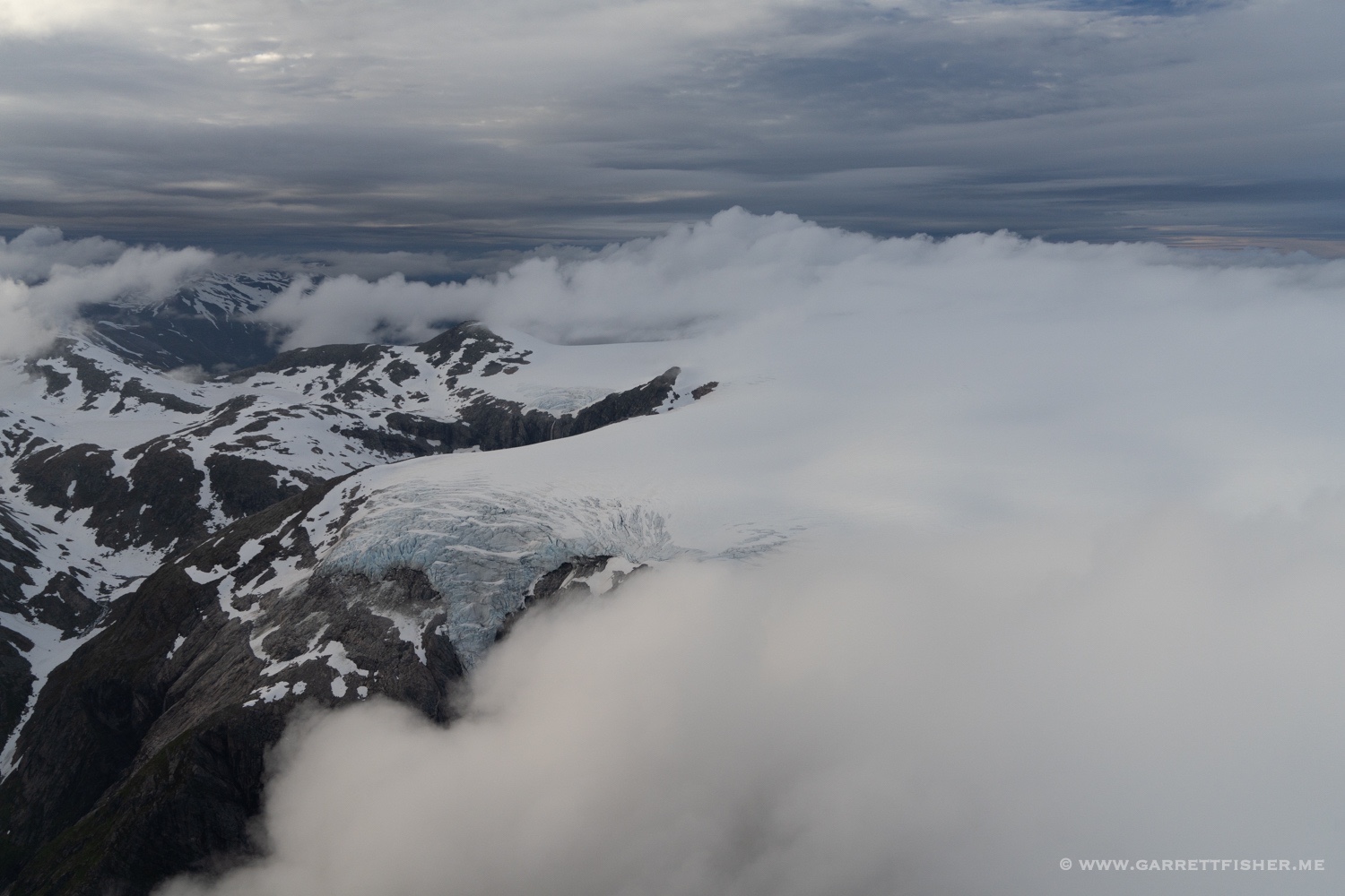
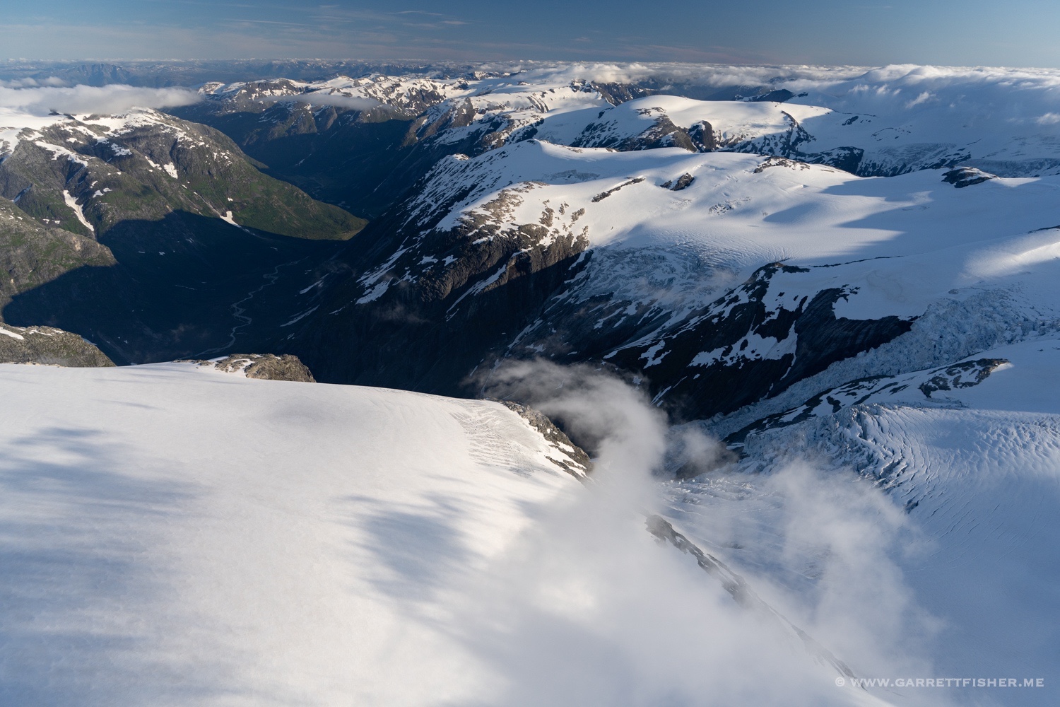
Bjørnakyrkjebreen, an outlet glacier. The plateau glacier is hiding in the clouds.
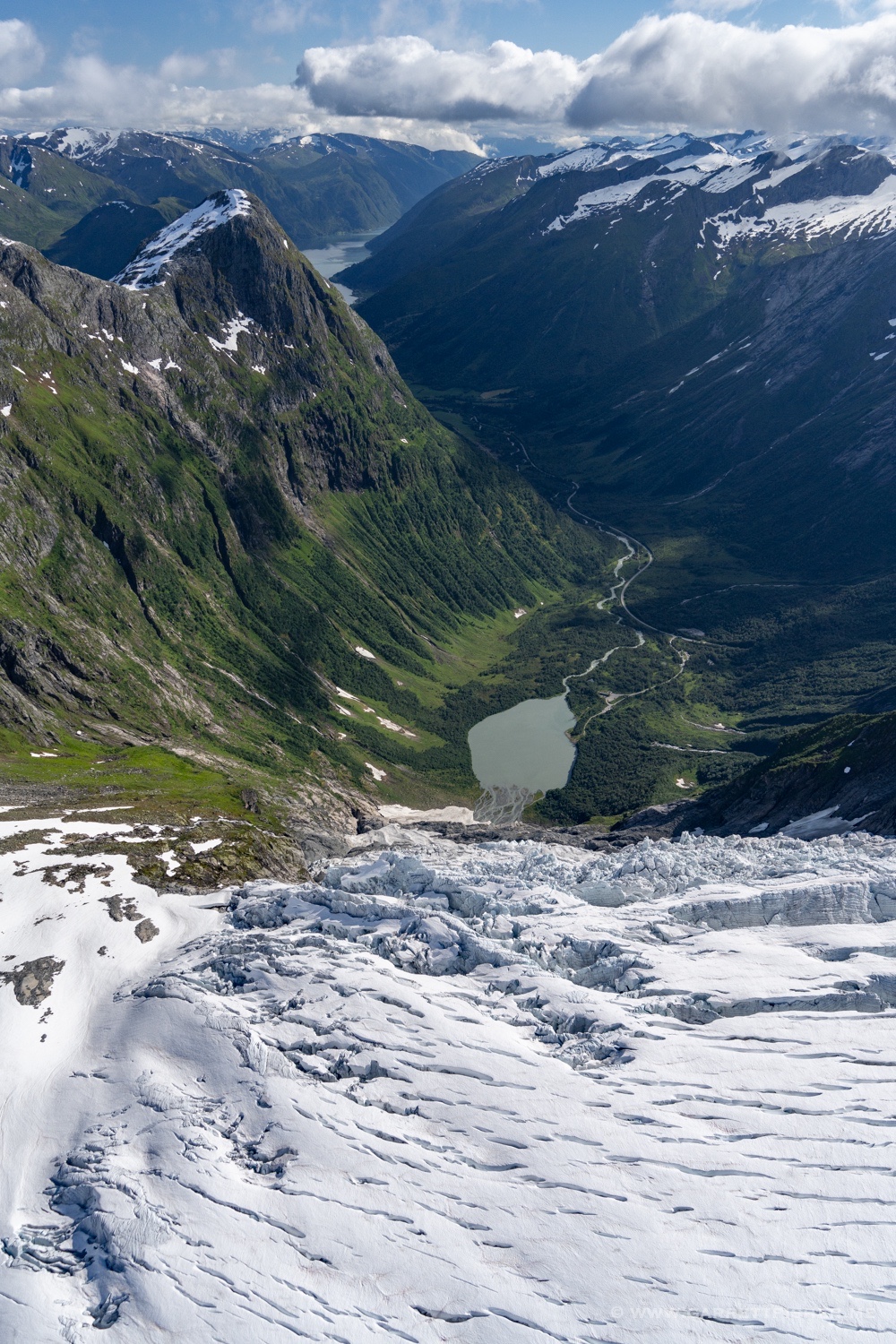
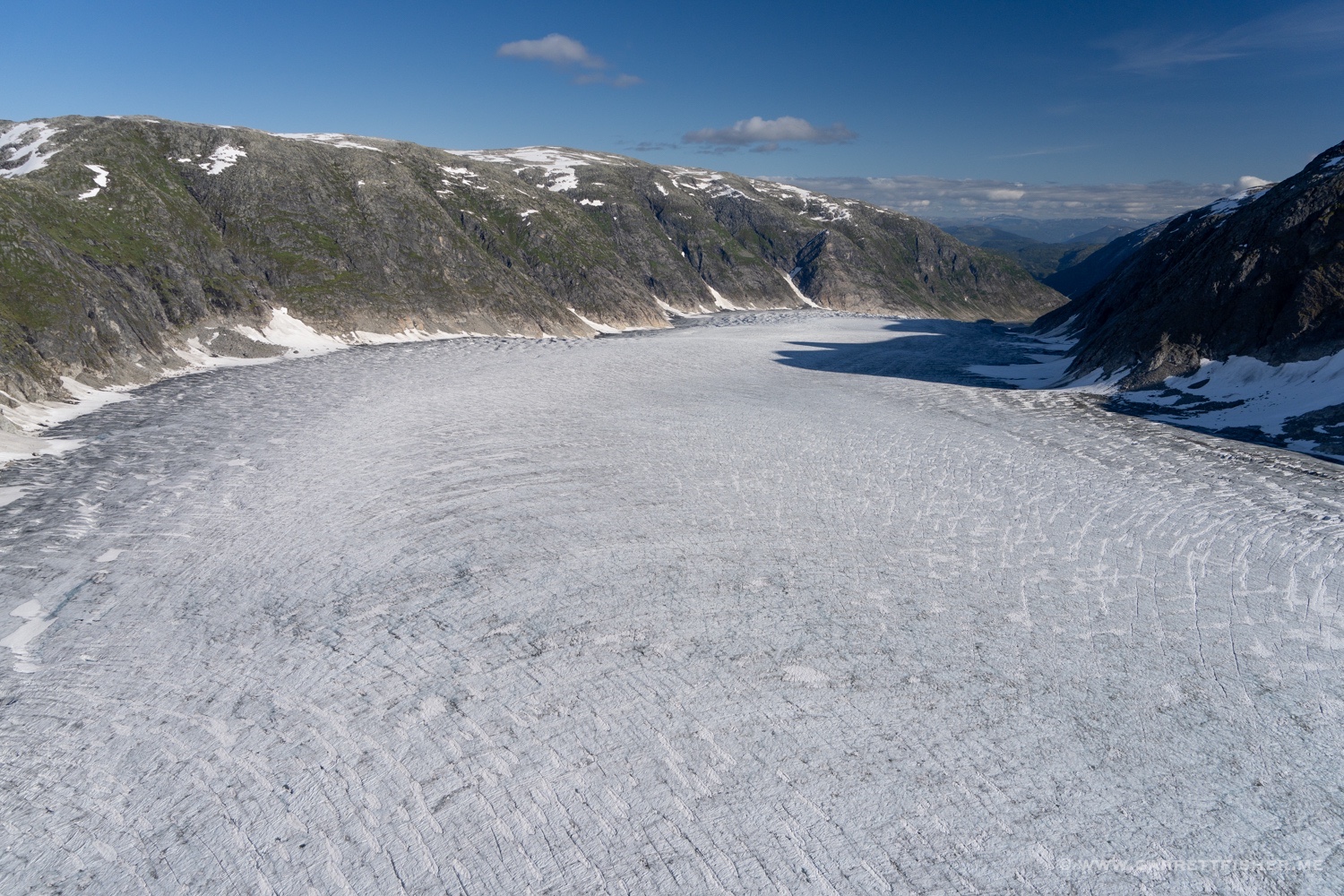
Austerdalsbreen, looking down.

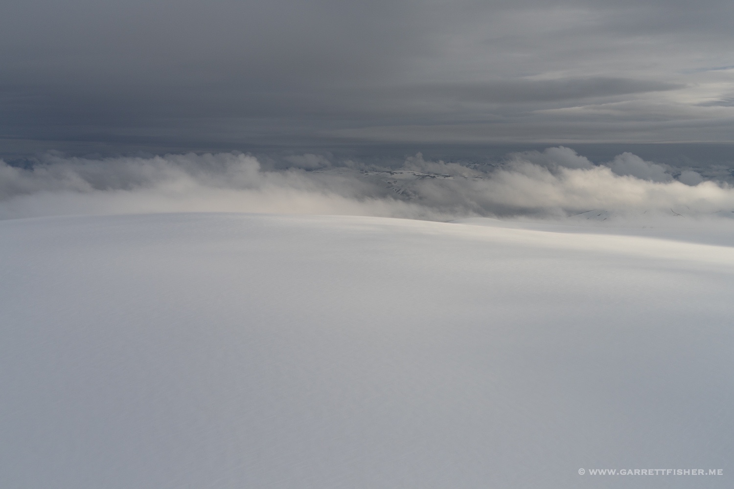
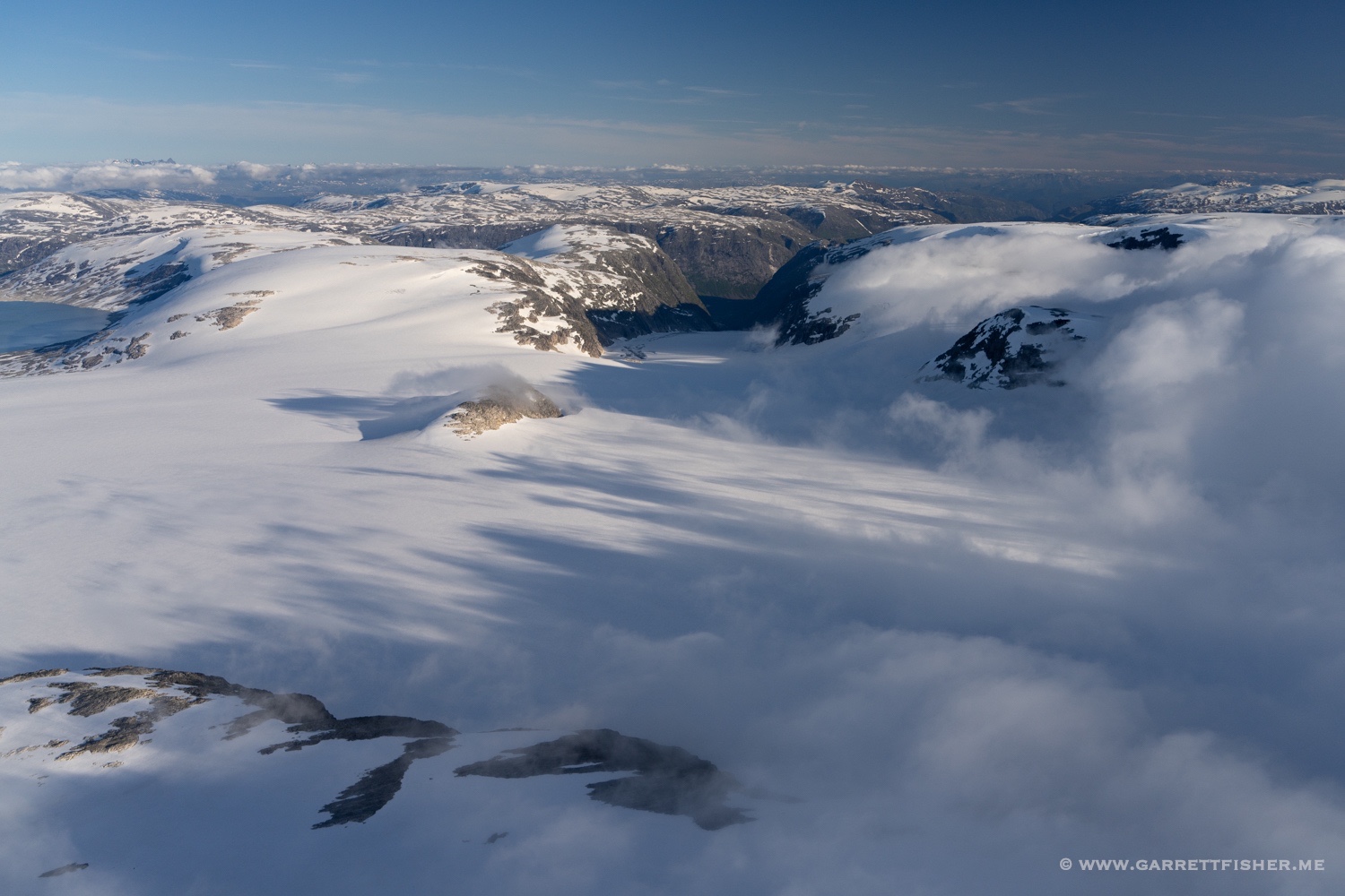
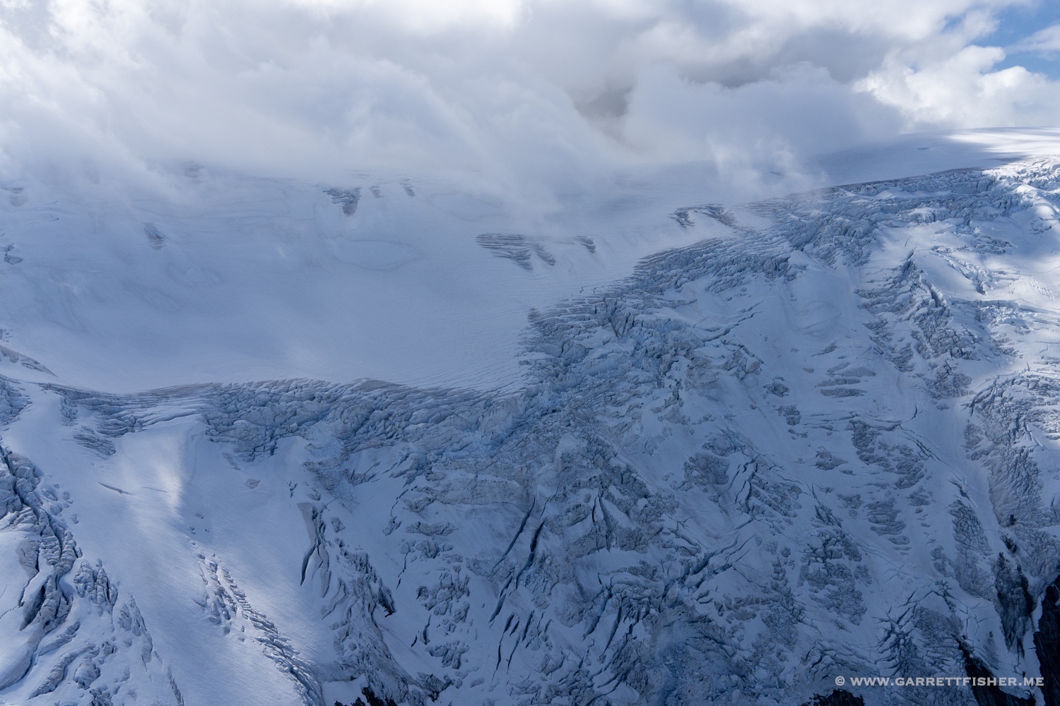
Baklibreen. The large part of the glacier is hiding in the clouds.
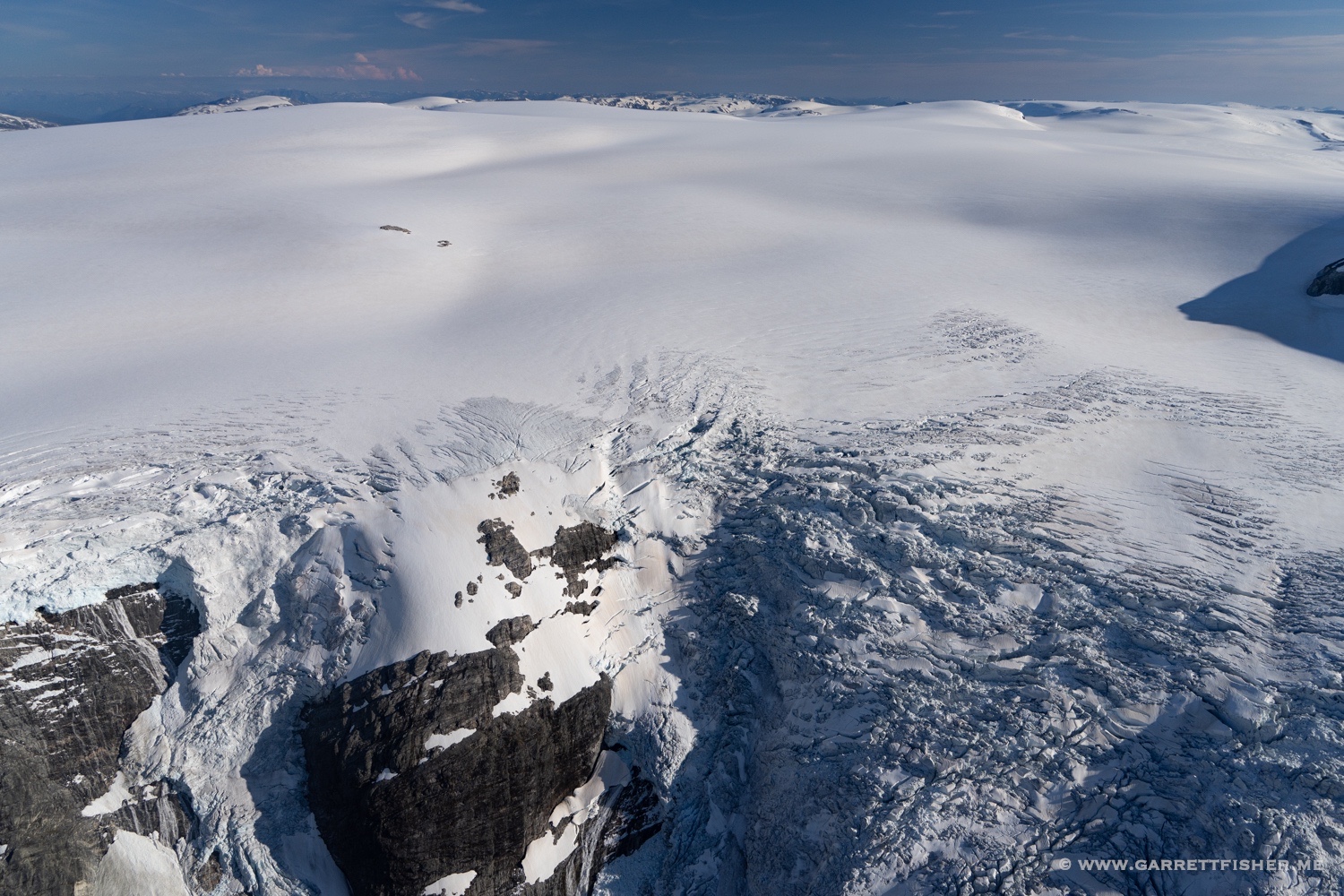
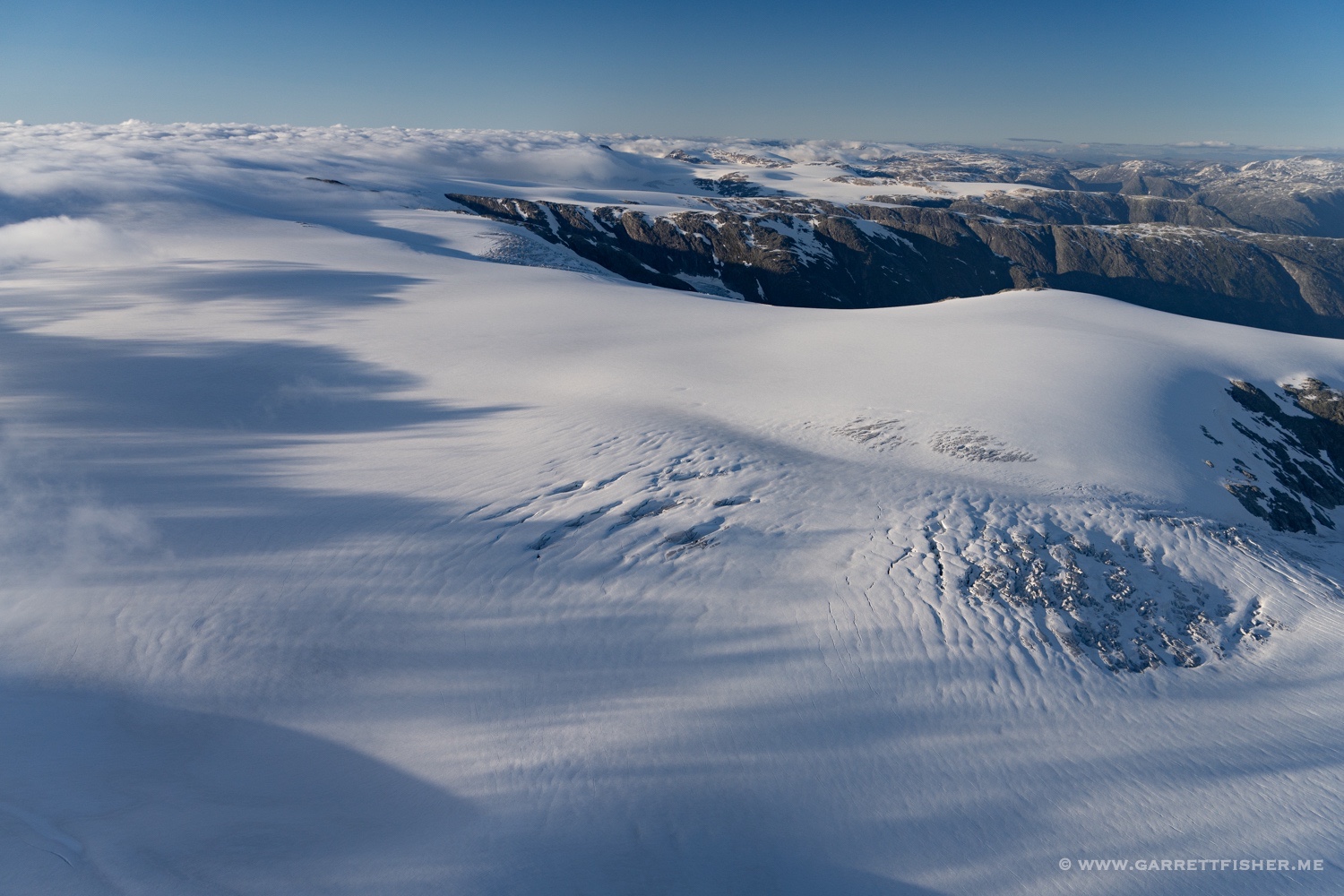
Jostedalsbreen. A wonderful mix of snow, ice, and clouds.
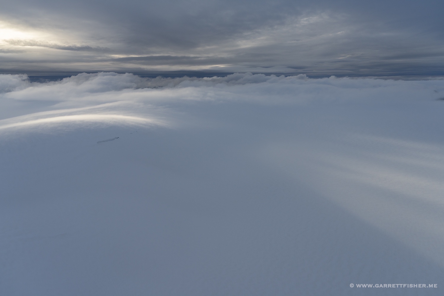
The first time I photographed a glacier in the rain….
Lundabreen.
Taken at 9:30PM. There are certain advantages (and annoyances) to the sun setting at 11PM and rising before 4AM.
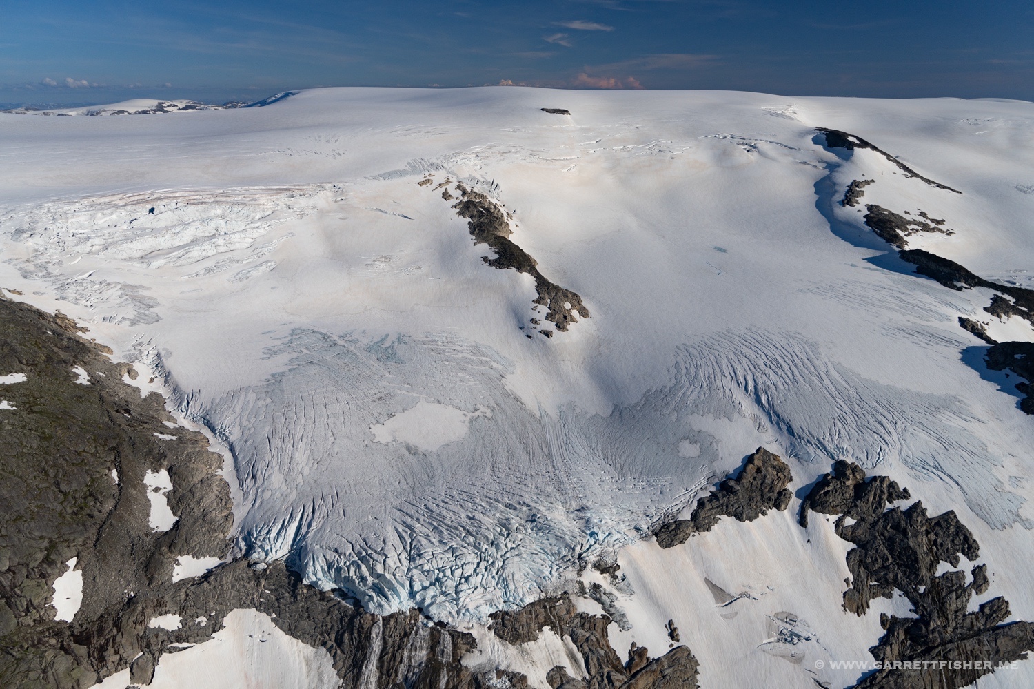
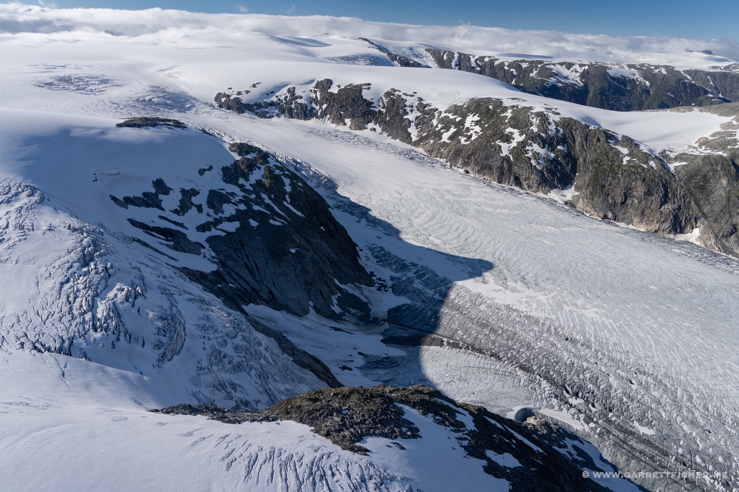
Langedalsbreen. This is the thinnest part of the glacier complex, as one can see that the glacier does not go very far on the other side. When one adds up continuous ice to the left and right, it goes on 37 miles.

Kjenndalsbreen. Finally got to the north side, where the weather is usually worse.

Kjelkevarden (rock on center right). Elevation 1,717m / 5,633′.
Tjøtabreen.
Lundabreen again.
Southwestern part of Jostedalsbreen. Ice cap elevation 1,647m / 5,404′. 
Looking toward Tunsbergdalsbreen. I believe it is the longest outlet glacier in this complex.
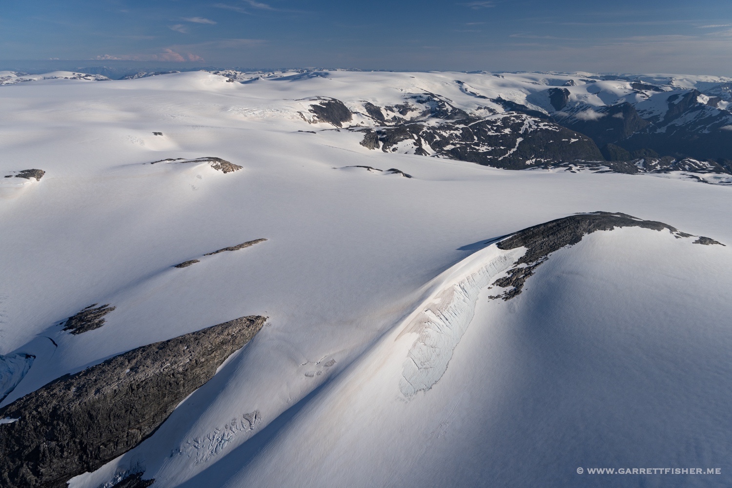
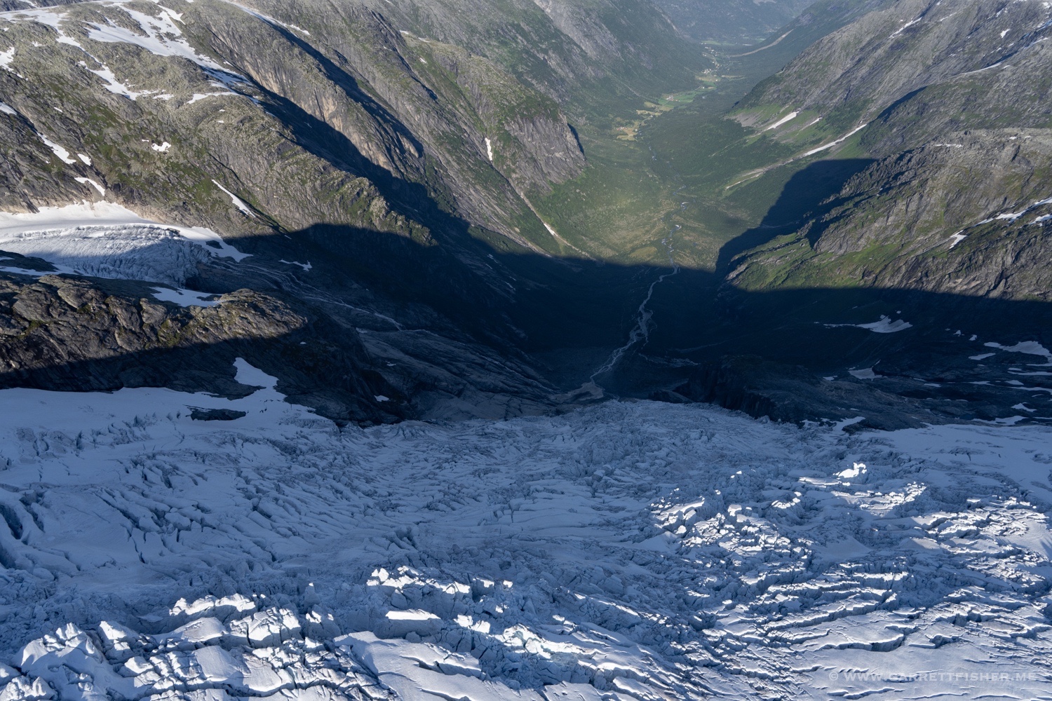
Odinsbreen & Torsbreen, which lead to the Austerdalsbreen below.
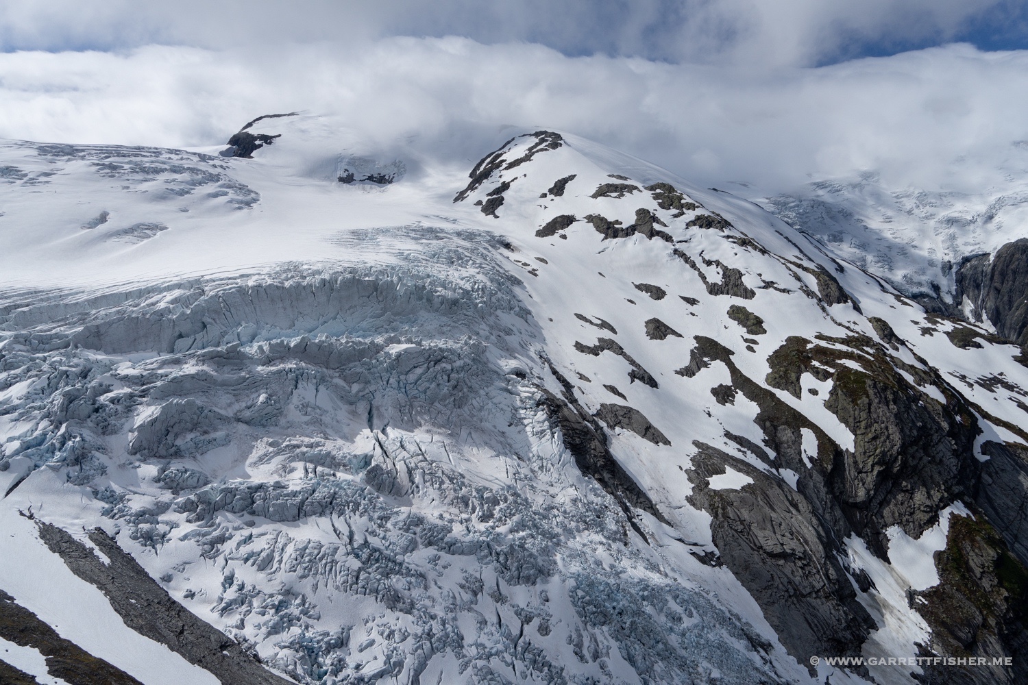
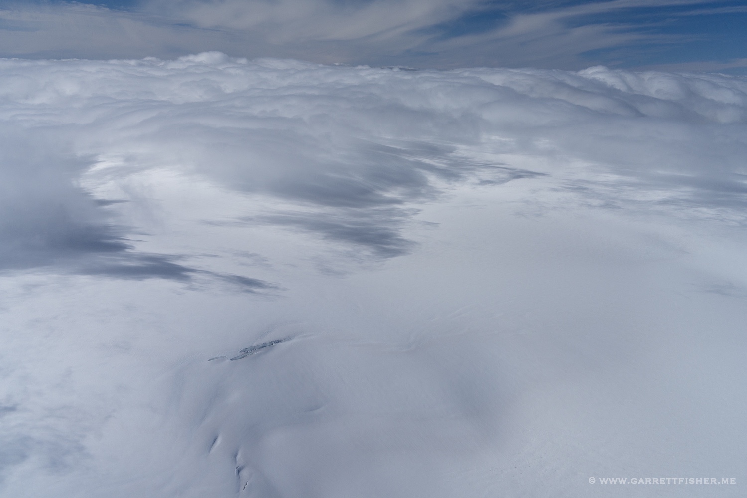
Probably north of Austerdalsfjellet, though I am sure no one cares about the name. The clouds left are orographic in nature and often slither along the glacier from the northwest.
Bøyabreen. The water in the distance is the Fjærlandsfjorden, which connects to the Atlantic.
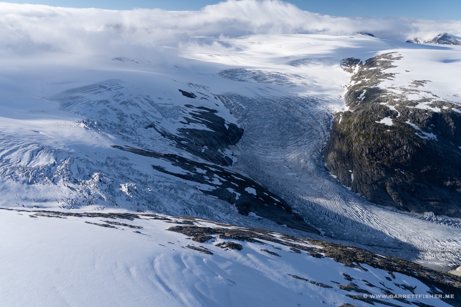
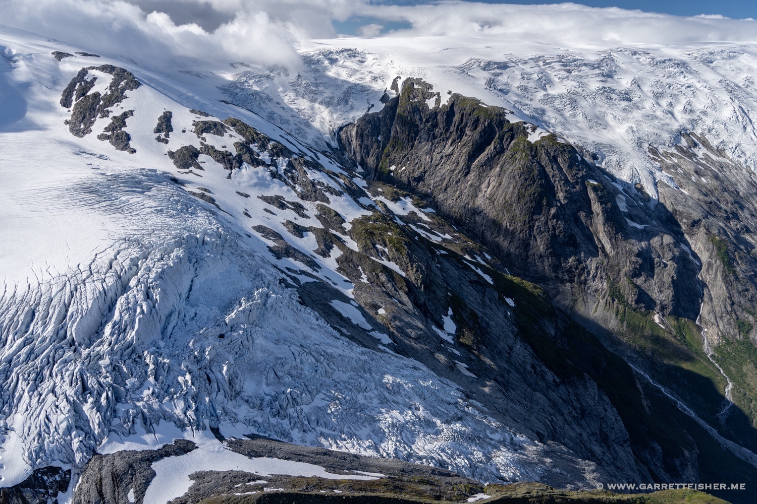
Bjørnakyrkjebreen & Langedalsbreen.
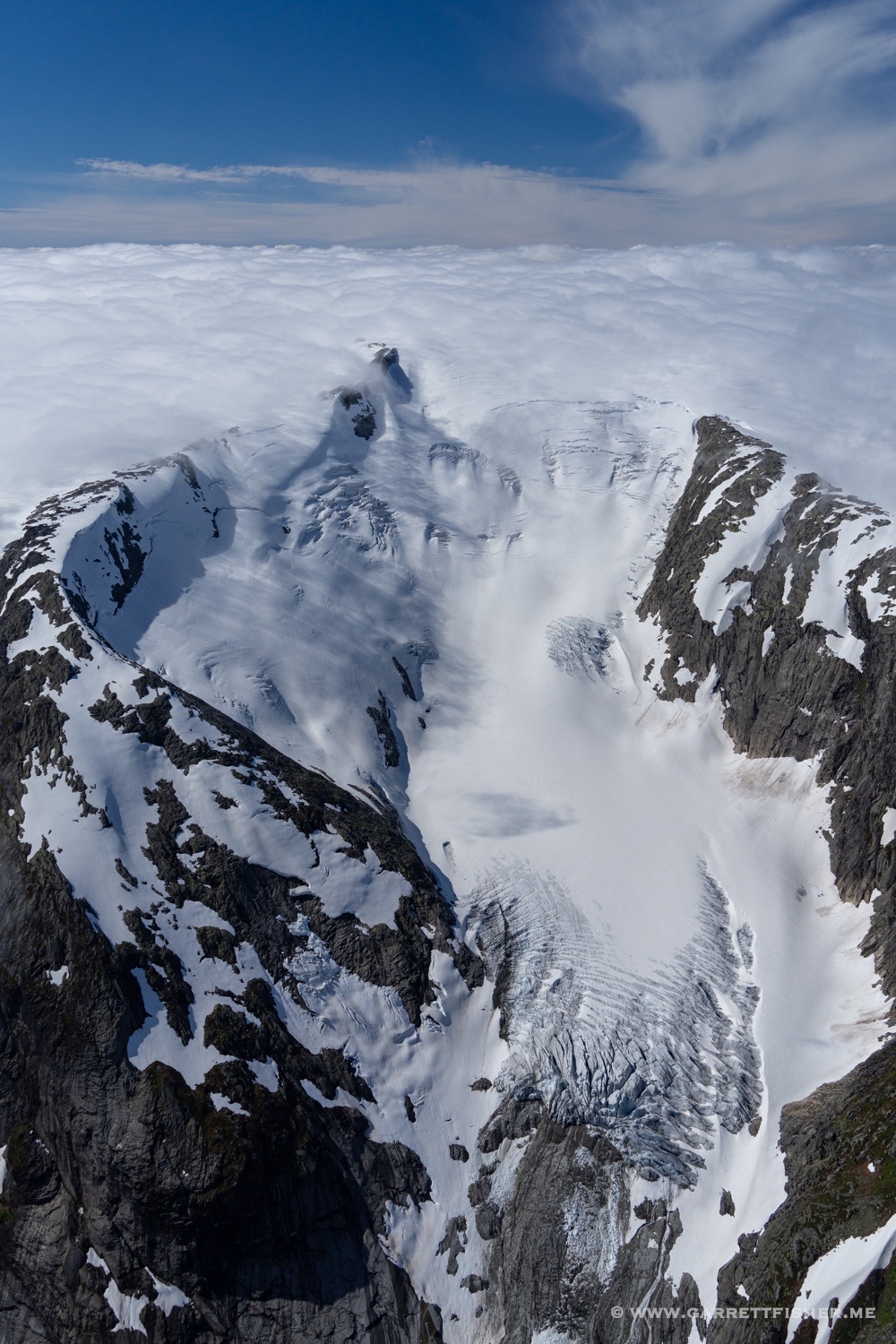
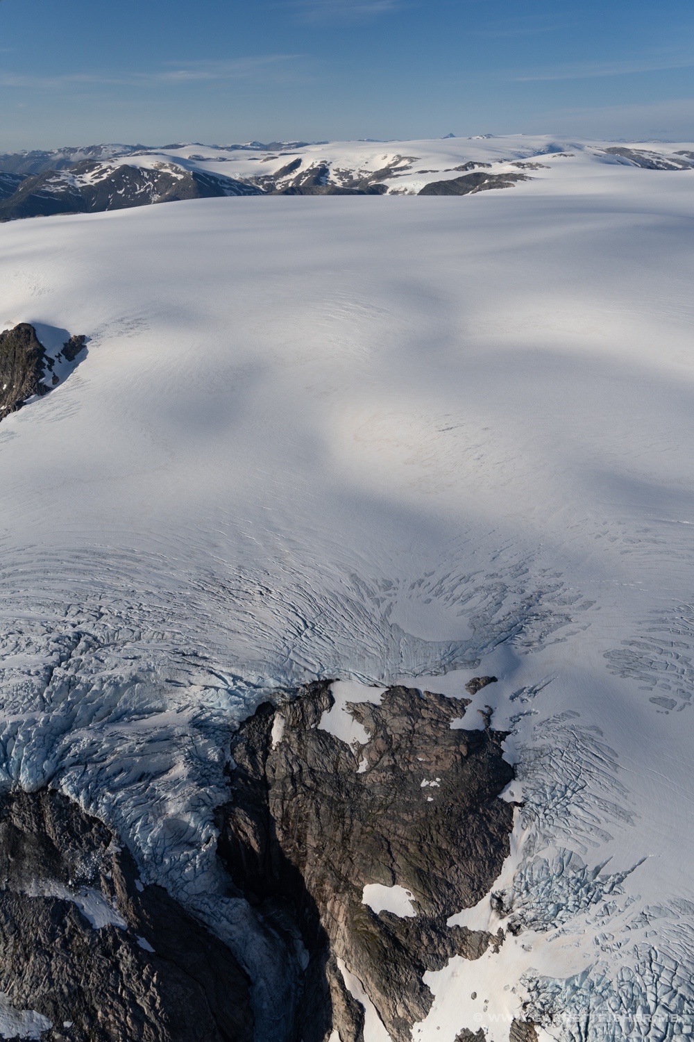
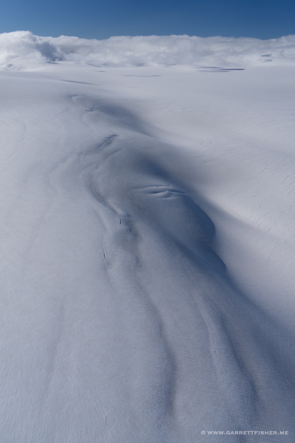
No particular name for this piece of ice. It was quite nasty wind in here.
Austerdalsbreen again. I know, overkill. I should break all of this down into bite size fragments suitable for the attention span of a gnat.

West of the Fåbergstølsbreen. One has to give the Norwegians credit for a creative alphabet.
Upper part of the Tunsbergdalsbreen.
Lower part of the Tunsbergdalsbreen.
I think this is the Bergsetbreen.
Småttene and Strupebreen, which merge to form the Lodalsbreen.