The heaven and hell theme continues, with the highs and lows of the day being more extreme than the prior one. It occurred to me after the last post that I ended the day in Alamosa with the assumption that I would wake up, get the Sangre de Cristo 14ers, Sawatch 14ers, and then finish out with the Colorado glaciers before the afternoon weather kicked up, returning home that evening. When I pulled a weather briefing at 6:30AM while eating breakfast, I had the bucket of cold water hit my face: there were showers and thunderstorms all over central Colorado. Reading the forecast discussion, the meteorologists confessed to missing a jet streak that mysteriously showed up. Most thunderstorm activity in Colorado is in the late afternoon, not at 4AM. I opted for my backup plan: to get the Sangre de Cristo Range, head west to the San Juans, out to the confluence of the Green and Colorado Rivers in Utah, and head north.
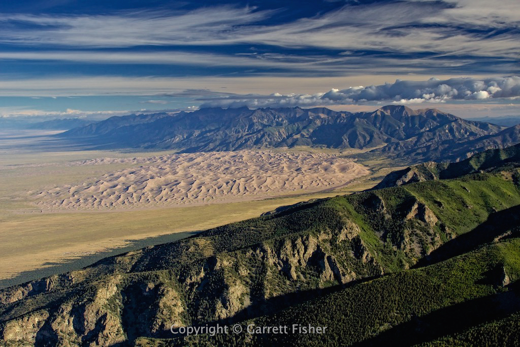
As I was climbing from Alamosa, CO to Blanca Peak, it was evident there were clouds over the Sangre de Cristo 14ers, again. As in, they were just over the 14ers and nothing else. How is it possible that this keeps happening? I was then in an acute form of hell, pissed beyond belief, frustrated, tired, and not sure what would happen. I kept climbing until I caught some updrafts near Great Sand Dunes National Park. What I saw turned straight from hell to heaven: the 14ers were gorgeous with morning sun and the texture of the clouds. Great Sand Dunes as well as the northern section of the 14ers in the Sangre de Cristo Range was just simply incredible.
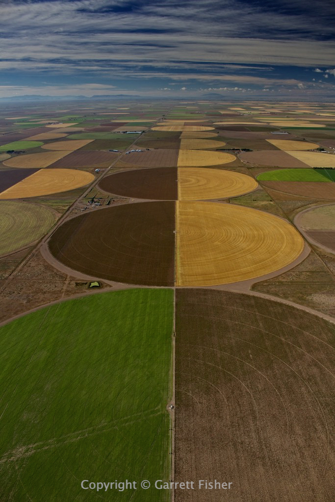
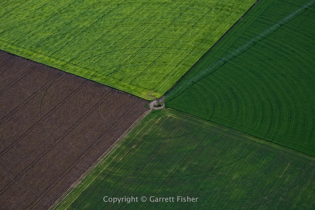
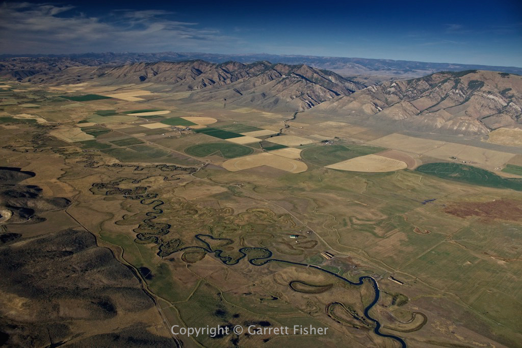
Turning west toward Telluride, two unfortunate realities hit: I was doing 55kt groundspeed due to headwinds, and I had to urinate badly, again. Not wishing to repeat the Vernal, UT incident, I did a host of recalculation in flight, finding that there was no way to avoid wasting time and distance to solve the urination problem. Landing and taking off without getting fuel would risk not arriving in Telluride, with no alternate. Pressing on would result in kidney failure. I opted to divert to Monte Vista, CO for two reasons: it was the closest and I could get some fields for my farm field project. Satellite maps for many years tantalized me with these fields and I thought to myself how stupid it would be to be so close and not get them. They were incredible. Heaven continues.
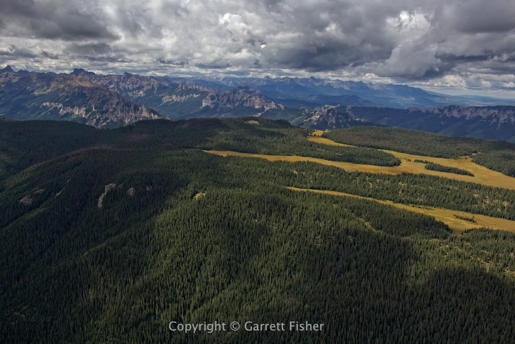
My devious scheme was to head straight west, climbing in the lee of the southwest winds, going faster while avoiding turbulence. For the first 20 miles, I thought the plan was working. As I got to Creede, CO, it was evident things weren’t going so hot. As I pointed toward Slumguillion Pass, hell returned. Turbulence was insane, and no matter what I did, I could not find the coveted windward side of a ridge to both climb and get out of the rotors. I was stuck unable to get altitude and getting the crap beaten out of me. Trying a number of things, I just could not get out of the dangerous air while pressing toward the San Juans, so in the interest of still being alive, I decided to take the royal flush and go with the wind, heading downwind and out of the San Juans, north toward Gunnison National Park.
It was quite a challenge to get over the terrain north of Slumguillion Pass, and I had to play weather detective and sneak over in a flat spot with relatively modest turbulence. Turning north, my iPad again reported a groundspeed in excess of 100kt, meaning that for day two, upper level winds were over 30kt, despite forecasts of 22kt. The foothills of the San Juans were absolutely awful, with severe turbulence and rotors, leaving the only sensible option being heading straight north into rain showers. Rain showers of a convective nature in the West often bring downdrafts, aside from standard issues of visibility, and I found it hard to believe that they felt like a refuge of safety, given the circumstances.
Clearing the weather near Gunnison National Park, I joined the foray of private jets and commuter flights coming into Montrose. Apparently voted the #1 jet center in the West, it is a playground for upper class snobbishness, as multi-million dollar aircraft were just about everywhere, in the air and on the ground. Winds were almost 20kt, which is quite a bit for this airplane, though thankfully straight down the runway. I landed literally standing still on the runway, as I had zero groundspeed while still in flight. As I taxied, I had to add power to move forward, which meant that I could operate the stick left and right and up and down, and the aircraft would pivot on the wheels like it was in flight. That was a first.
Apparently, the slew of jets was due to the fact that they couldn’t get into Telluride. A jet pilot commented that they found the same thing I did: 35kt winds at altitude, when the forecast was for less. I find it ironic that I can and cannot get into the same mountain airports as massive, insanely expensive jets. Two corporate pilots practically did obeisance to my airplane, having learned how to fly on Cubs. That is rare, as most corporate pilots go to some form of school, learning on leather clad simulators, and snidely scoff when they see me, with looks of “Ugh, hoodlum. Who the hell let the hobo in here?”
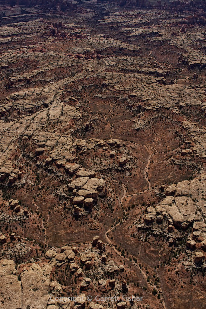
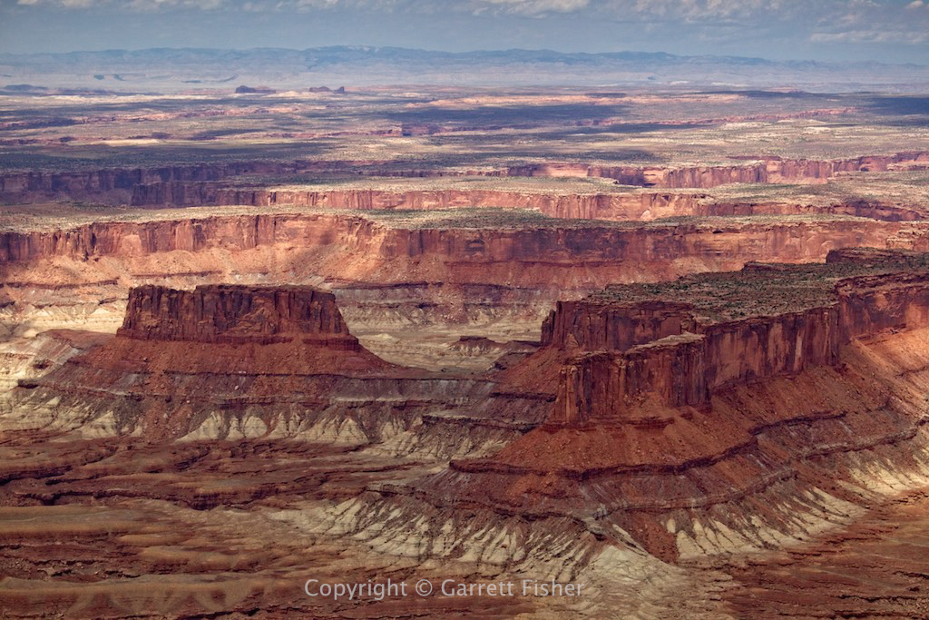
The folks at Montrose were convinced I was spending the night. I advised them I was leaving, which I did, as the wind was exceptionally high in Montrose proper, though not all over the West. Heading west toward Canyonlands National Park in Utah, I was greeted with heaven again. The canyons are almost beyond words: incredible depth, variety, and size. These things go on for miles and miles.
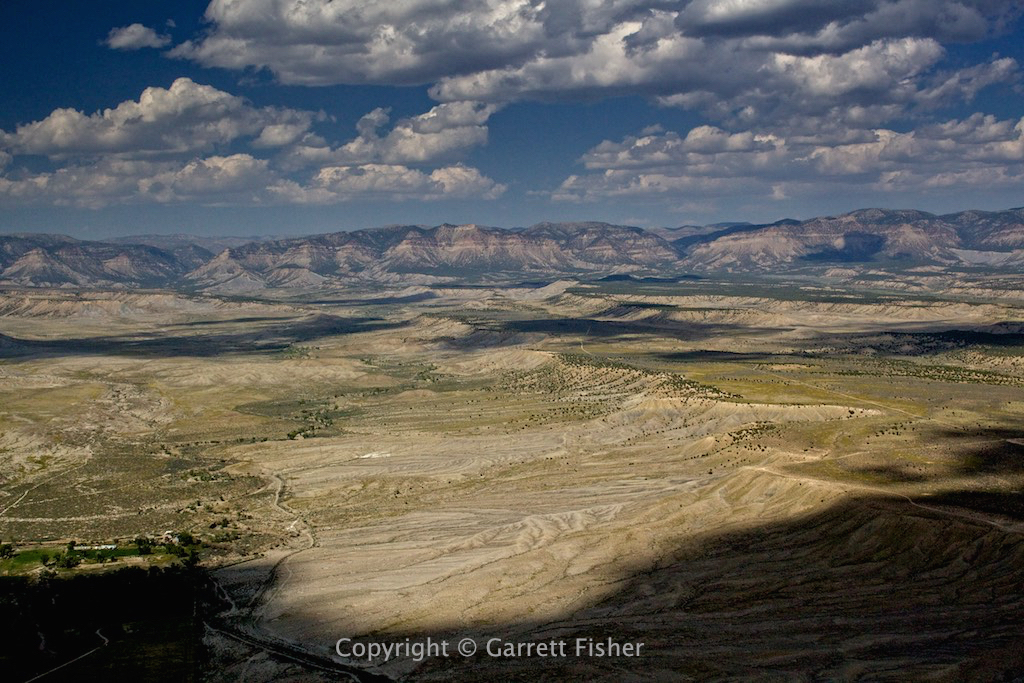
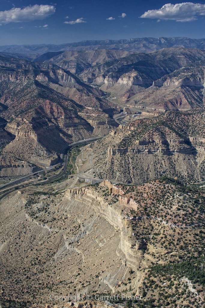
Following the Green River north to the town of Green River, Utah (for yet another project: the Green River in WY and UT), winds were surprisingly bumpy, with moderate turbulence testing my frayed determination and patience. Landing at Price, UT, calculations indicated that I would make Alpine before sunset and without having to refuel. Passing through Price Canyon, then east of the Wasatch Range, through the smoke plume of a forest fire, and on up into the western deserts of Wyoming, I finally got a break from the turbulence. It was moderate all through the rest of Utah.
With some time to finally relax and think, while still 90 minutes from home, I realized I might just be on the verge of losing all cognitive function. Staring at yet more scenery go by, I realized I had been flying and photographing for 17.5 hours at that point in two days, not including fuel stops. That is pure, raw, flying, with total time traveling being quite a bit more. I had seen so much of the West that I ran into my limit of ability to process what I was seeing. Wondering if I was in some form of alternate universe, I realized that my headphones were in reach from the front seat. Putting them in my ears, yet under the massive aviation headset, I plugged in iPhone and let the music play. What a delight that was, a capstone on two brutal days of intense flying in every way imaginable. It was good to finally be home.
Great Sand Dunes National Park, Sangre de Cristo Range (see the clouds over the distant peaks, those are 14ers)
Sangre de Cristo Range, riding the updrafts. Blanca Peak in the clouds.


San Luis Valley fields

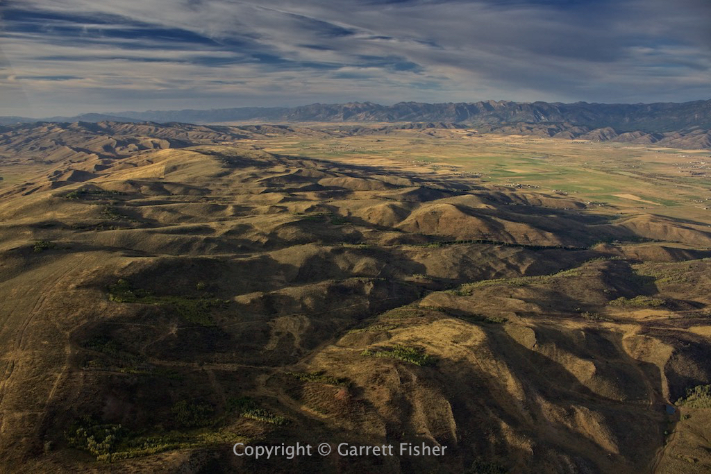
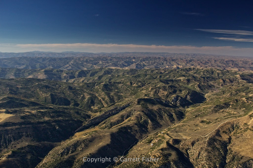
Eastern San Juan Mountains foothills
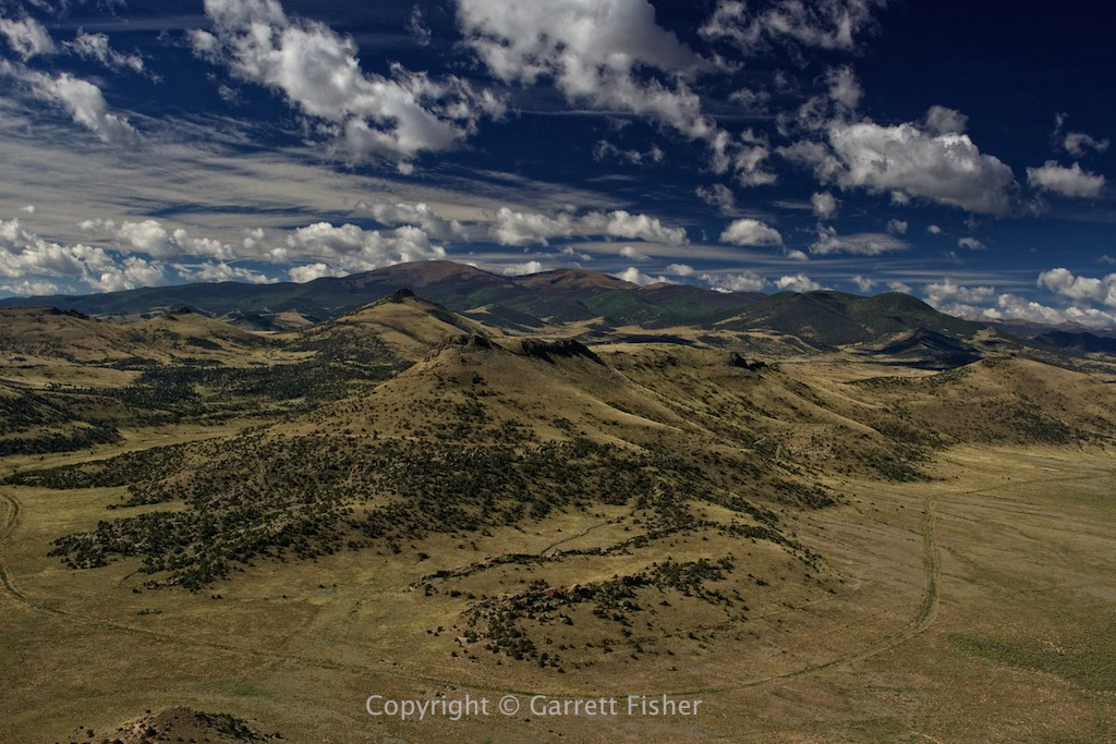
Mineral County, CO
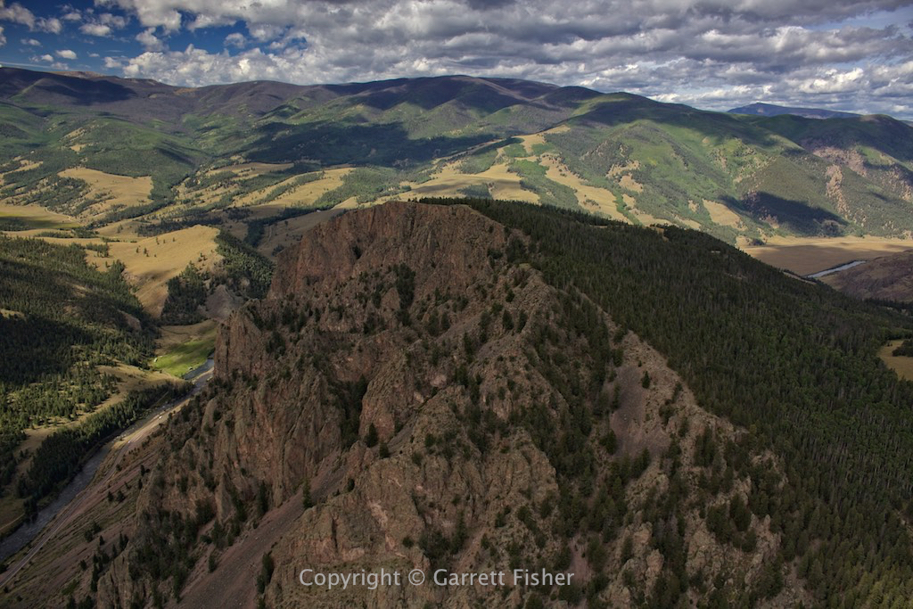
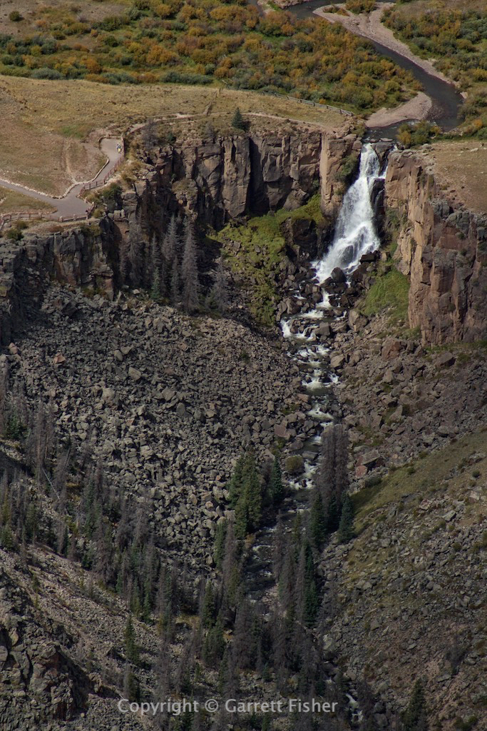
Some waterfall in the San Juans. Was getting the absolute crap beaten out of me here.
Hell. Severe turbulence.
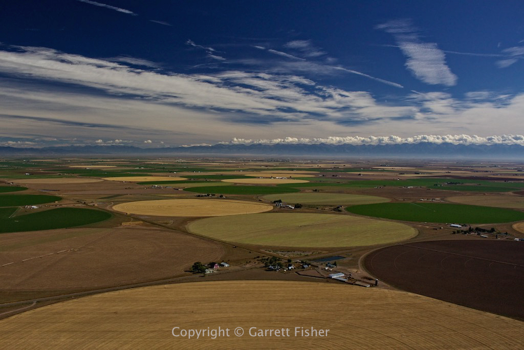
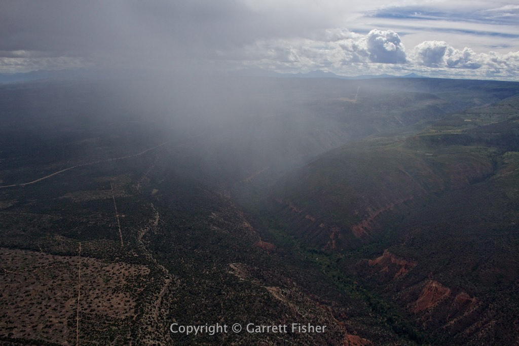
Rain shower west of Montrose after fueling.
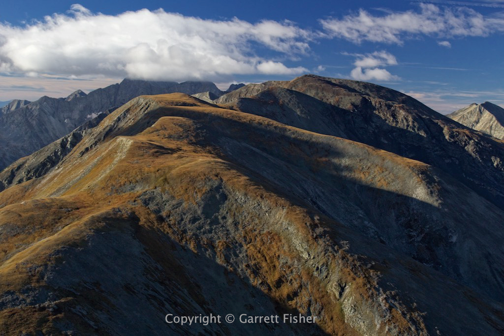
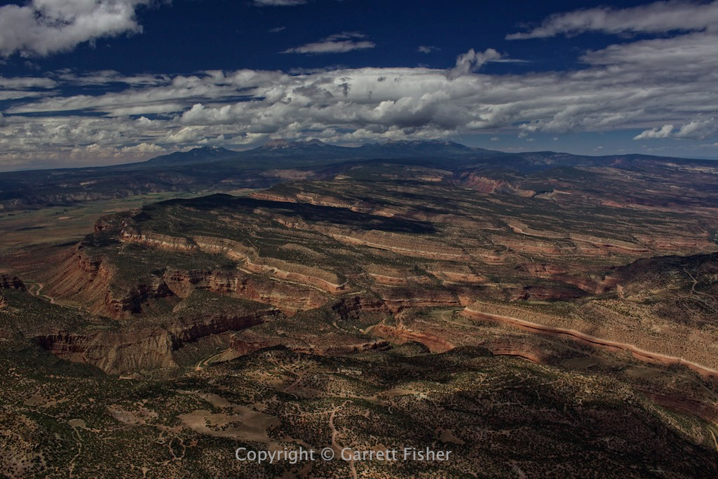
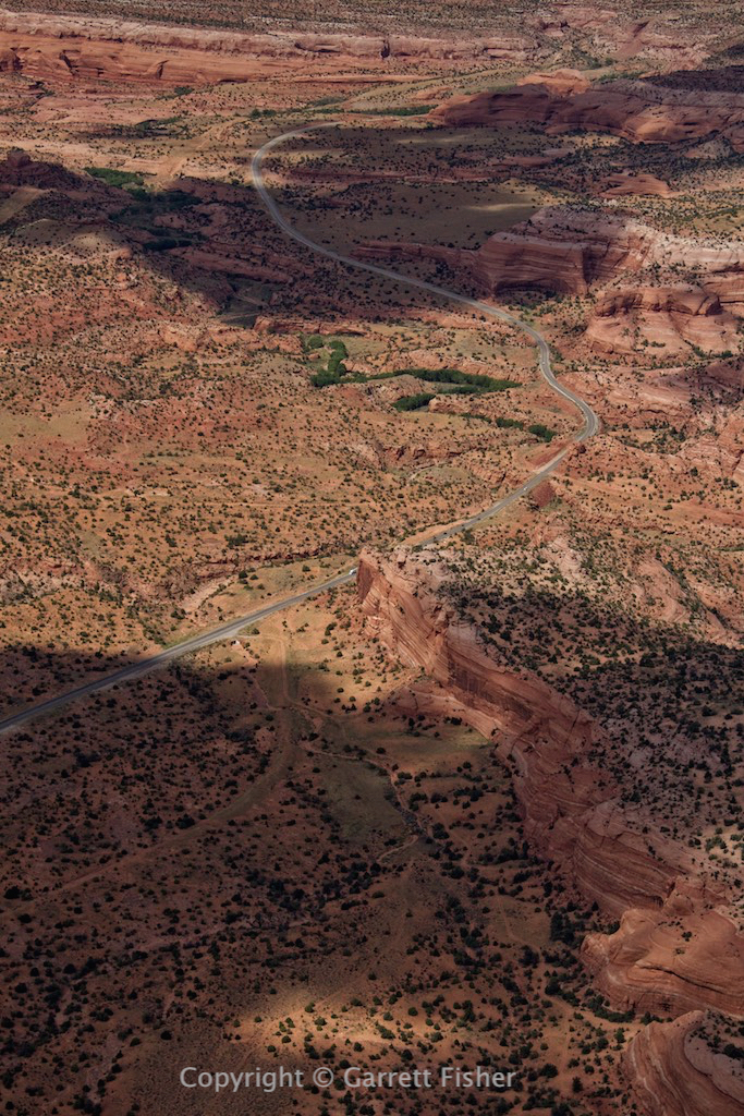
West Central Colorado

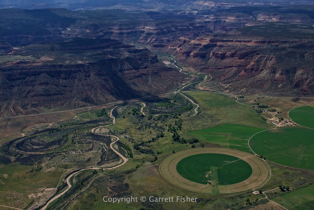
Crop circle, near border with UT in western CO.
Mt. Peale, UT. Always wanted to see these while staring at them on Google Earth. Above timberline peaks surrounded on all sides by desert.

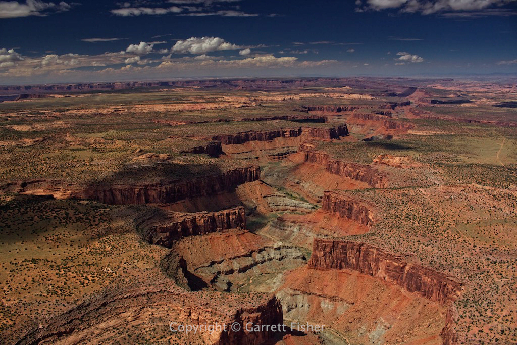
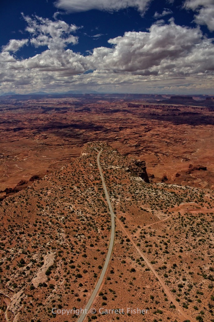
Canyons of Utah


NW of Green River, UT. They call this “castle country.”

East of Price, UT.
Price Canyon, UT. Salt Lake City is on the other side of the mountains on the horizon.
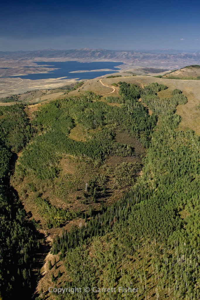
Strawberry Park Reservoir, UT, east of Salt Lake City.
Forest fire. Daniels Pass south of Heber City, UT.
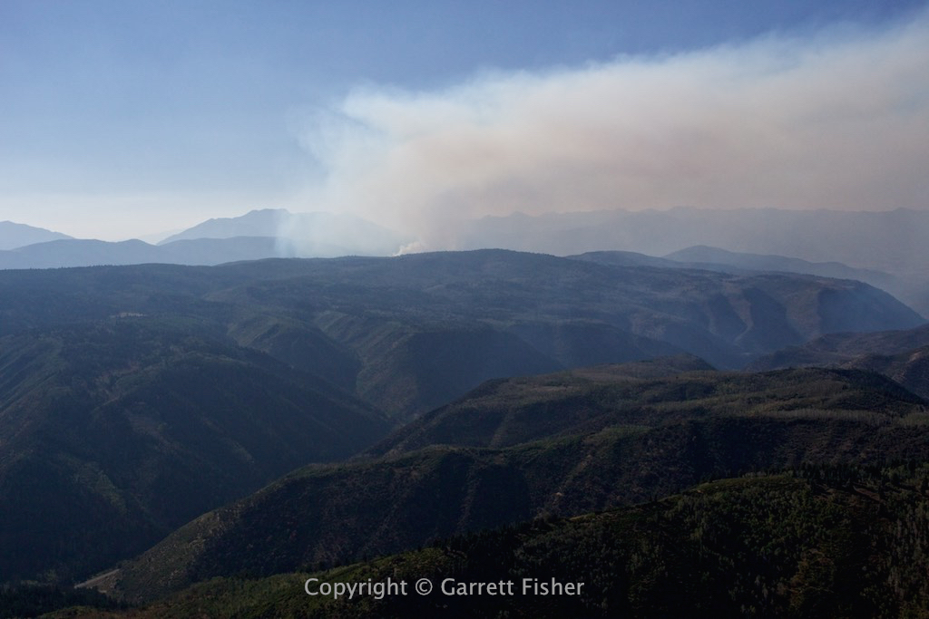
Flying in the smoke plume.
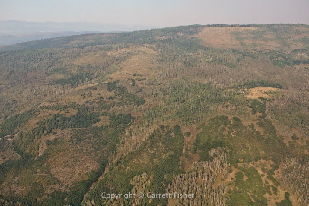
Between Park City UT and Heber City UT
Not far from the I-80 corridor in NE Utah.
Wyoming/Idaho border, southern foothills of the Caribou Range.

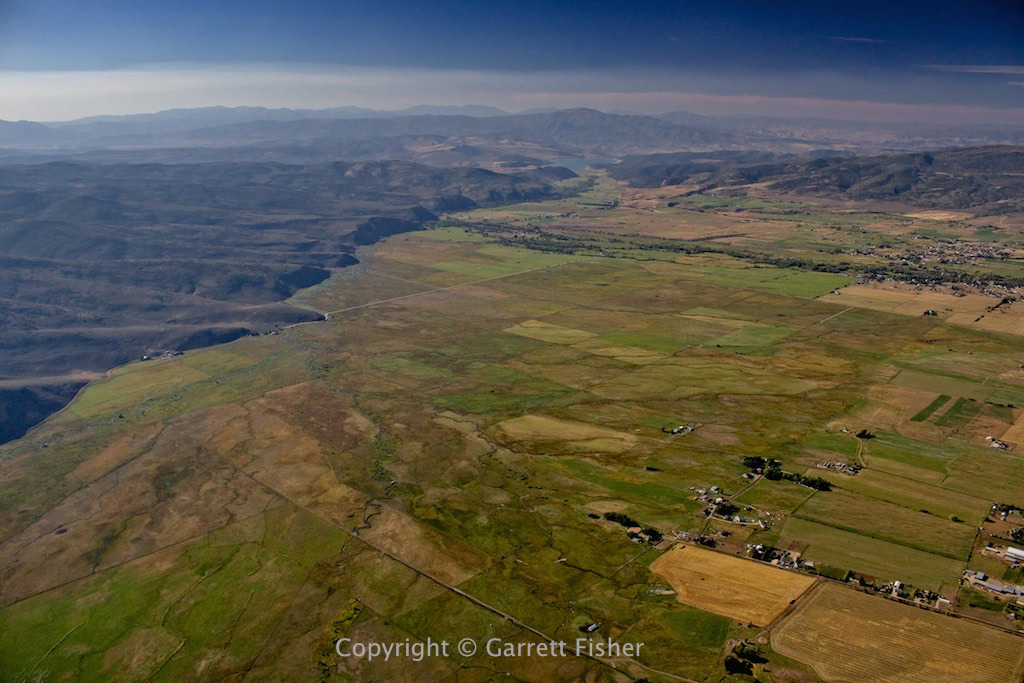
Just below the Star Valley.
Only 30 miles to home with the sorest ass in the world.