My view of autumn permanently changed in late September 2013. As a personal negotiation for the move to Summit County, Colorado, I had told myself that “autumns are over,” since I would be living in a county substantially filled with pine trees. While I knew there were aspen groves to be viewed on a road trip in other parts of the state, the idea of “living” autumn as it happened was a thing of the past.
On a drive over Boreas Pass at 11,000 feet in September, my suppositions were invalidated. Not only were there aspens, there were red aspens, something I thought didn’t exist. Aside from autumn being a thing of the past, any color other than yellow aspens was also resigned to the dustbins of memory.
Yet, here I was, staring at the impossible. I returned that night to photograph them under full moon light with a tripod. That started an odyssey that resulted in my first photography book, which was substantially terrestrial, and mostly of the autumn color in Summit County that didn’t exist.
What I did not expect was 1) to leave that region and 2) that the experience would in some ways corrupt my ability to enjoy autumn again. It simply has never come close since then. Not in the Carolinas, Jackson Hole, the Pyrenees, or, for the most part, the Alps.
I have previously fetishized larch trees enough with my writings to the point that, when I google them, some of the responses are my own posts. Apparently, I am unique in this specific fixation, though it brings autumn back into the discussion. Larch trees are pine trees that are fully deciduous, with needles that change color and fall off.
I can’t even recall if I knew that they existed in the Alps; if I recall correctly, my presumption was that they were limited to the Canadian Rockies and other “impossible” locales. On my first flight a week after my grandfather died in 2018, I recall trying to “take it easy” to make sure that my emotions weren’t too strong. After all, being in the airplane he restored stirred up emotions dating back to two years of age, when I took my first plane ride. As I was ambling around in “gentle” terrain, “not doing anything silly,” I discovered larches the Valais of Switzerland, deep in the Alps, in explosive color. They were stunning. I promptly resumed daring mountain flying, channeling concerns about aviation grief into jaw dropping autumn beauty.
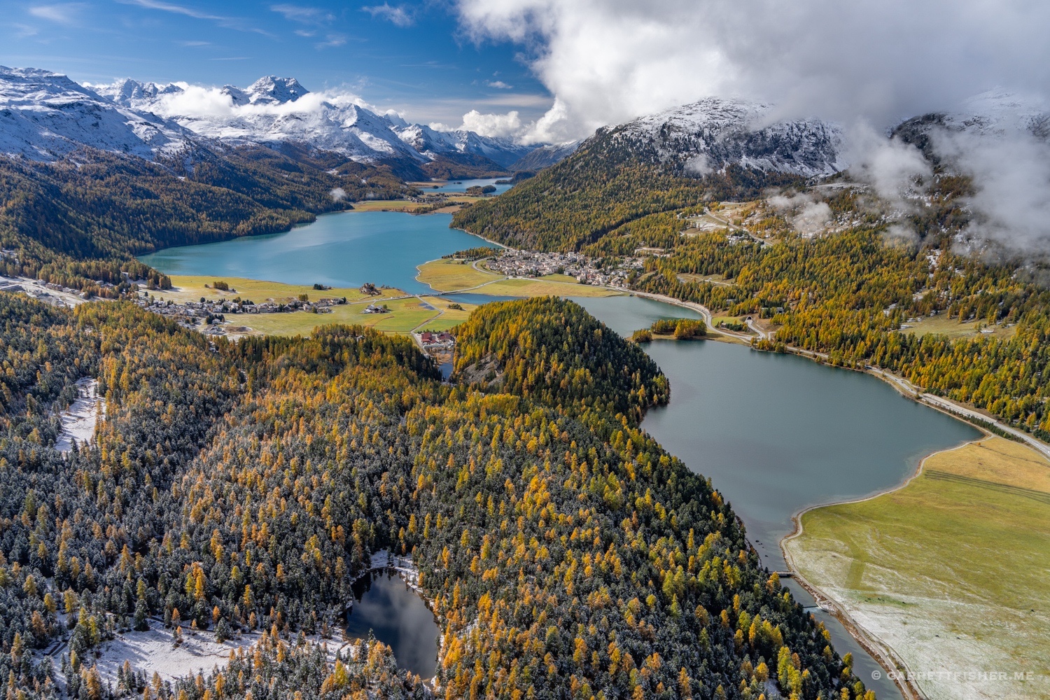
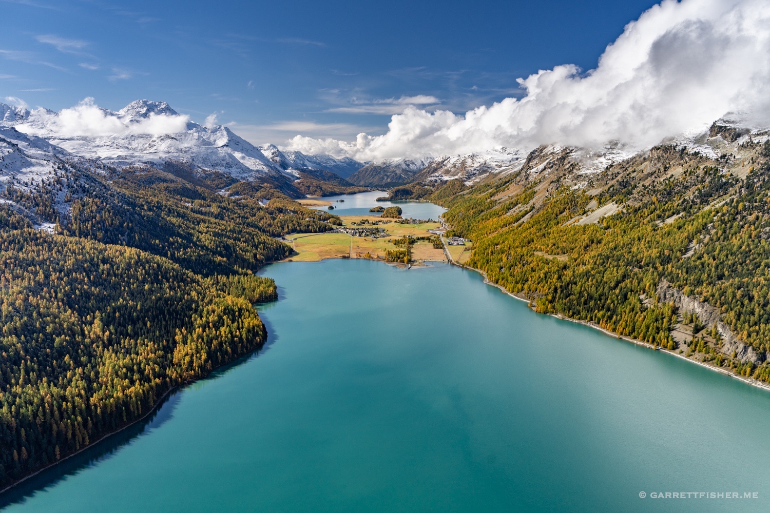
I later learned that the Engadin in Switzerland, near St. Moritz, is probably the capital of larch tree color. I subsequently visited two other times in the airplane, spending the night each time.
The experience was transcendent, though I still had this “nothing compares to Breckenridge” thought going on in my head.
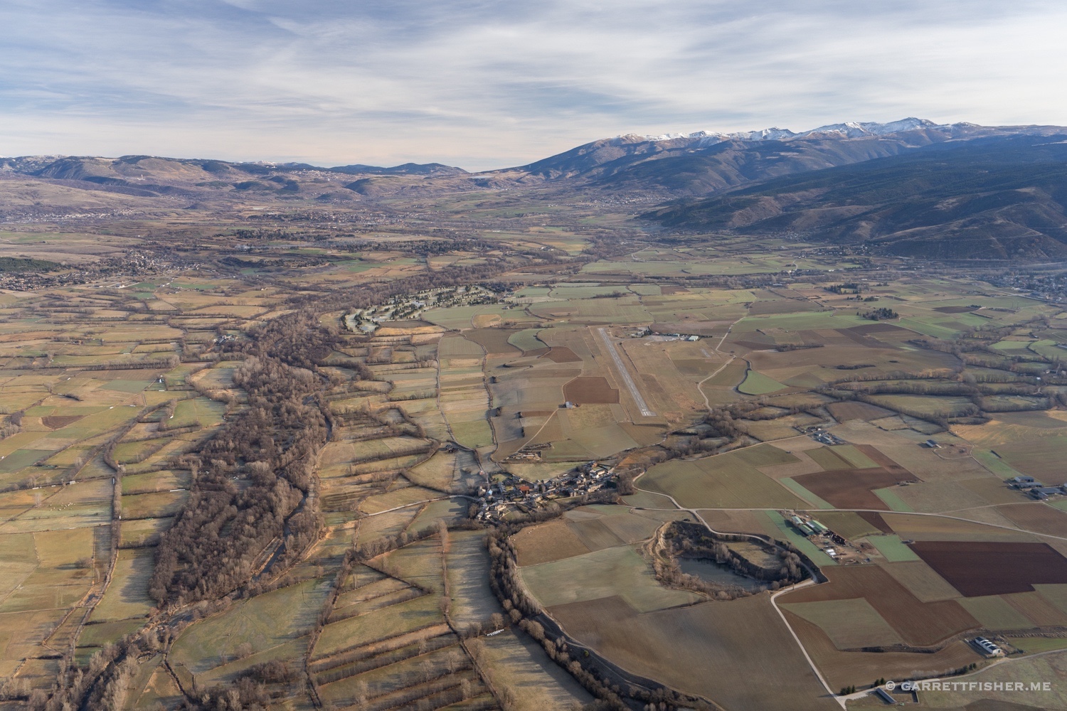
Finally, in 2023, I decided to put the matter to bed. “There are only so many autumns in one’s lifetime,” I said to myself, “time to take a vacation there [St. Moritz].” I booked an offseason rental in Pontresina, arranged hangar facilities with the helpful folks at Engadin Airport in Samedan, and carefully planned the arrival, this time with the Super Cub. I would have my wife do the 6-hour drive in the car, making it the first time I had ground transportation in the Engadin.
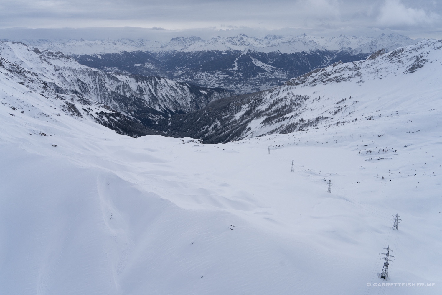
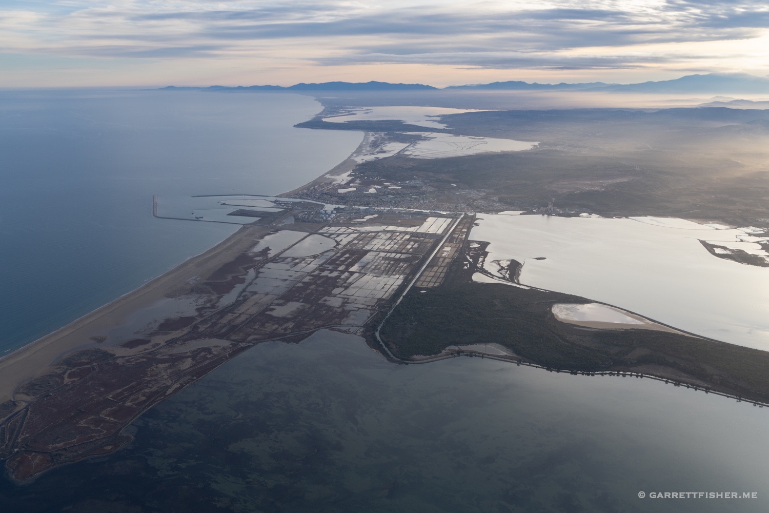
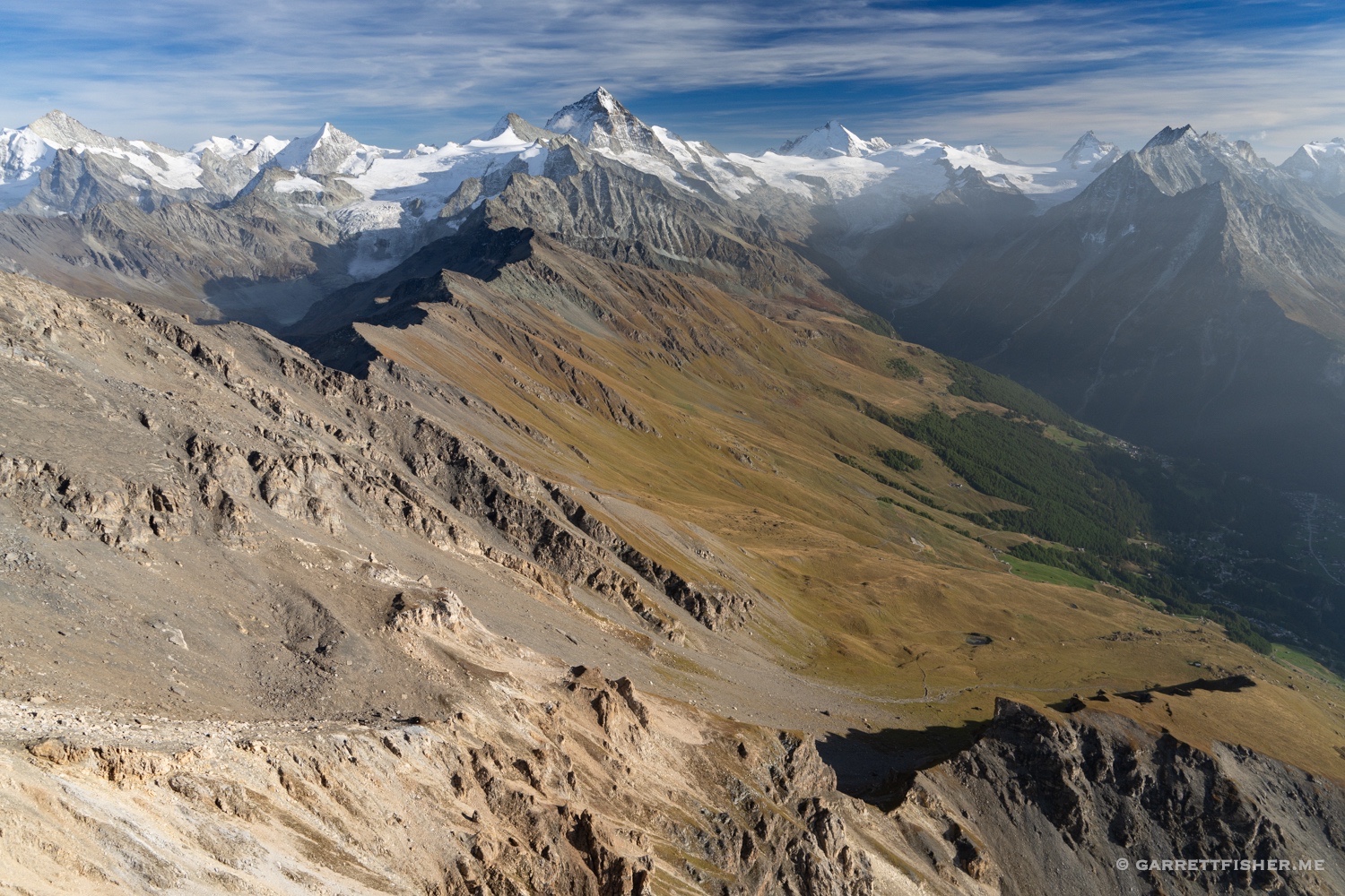
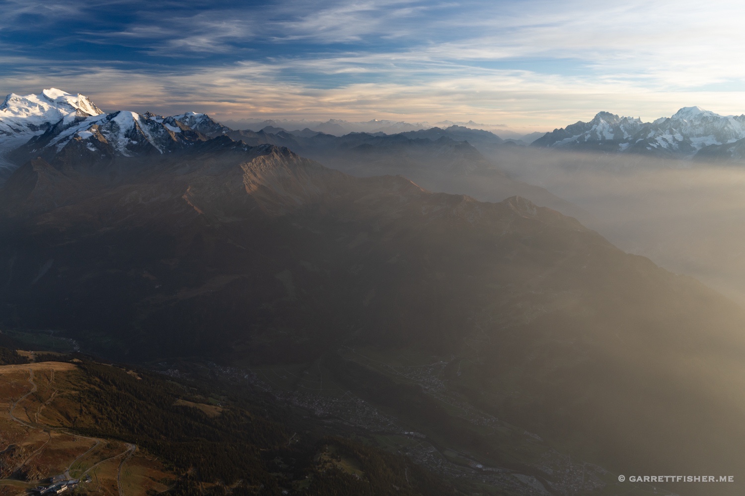
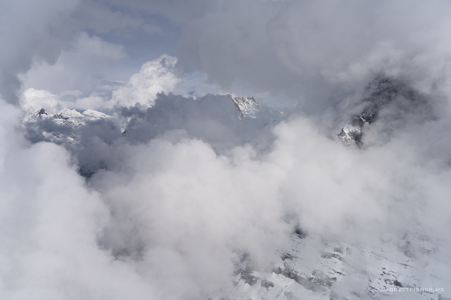
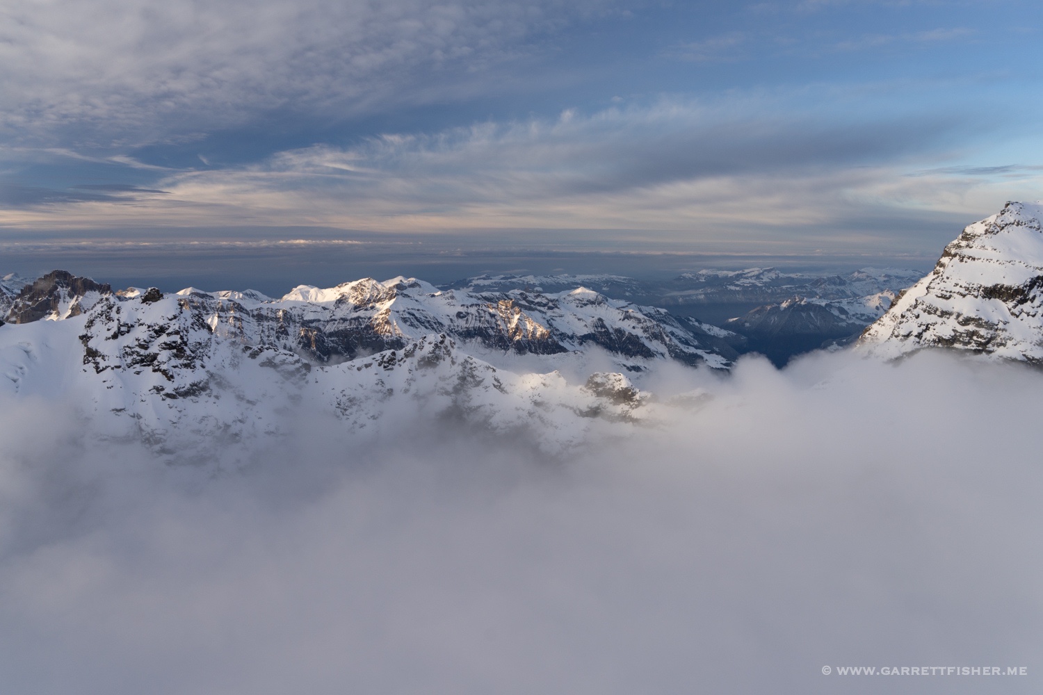
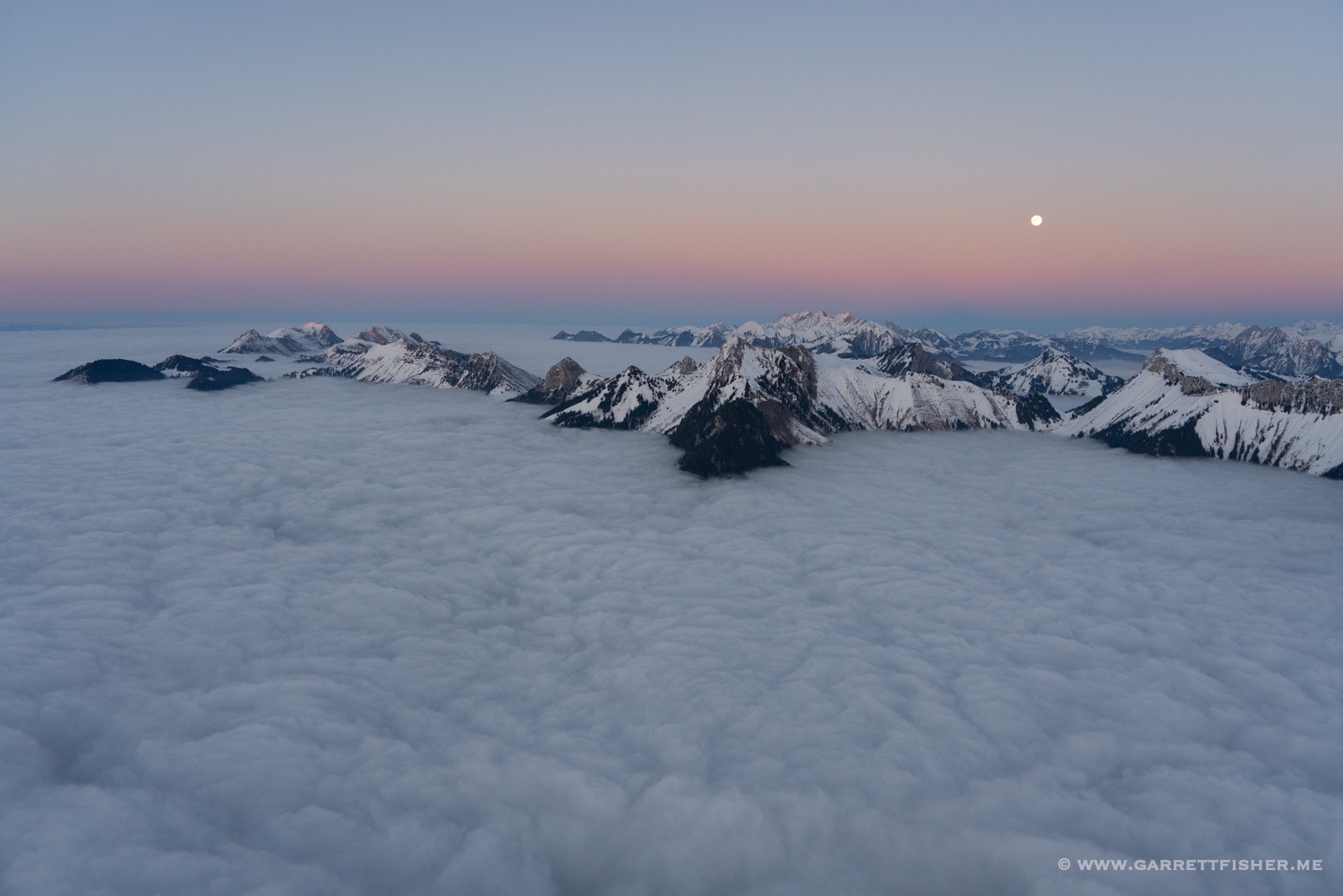
As life would have it, the weather for arrival day was going to be foul, so I snuck up the day before, while the weather was good, and stayed in a hotel in Samedan. The flight can be done, in theory, in less than 90 minutes, though there was a unique circumstance. It was October 13th, and the glaciers were yet to receive any snow! I have battled snow in August, in early September down to 5,000 feet, and usually have called the season by late September at the latest. Here it was mid-October. I had photographed north of the Arctic Circle less than 2 months before, travelled to the Pyrenees to get the glaciers in late September, and was now wearing myself ragged as the glaciers demanded my attention. The flight turned out to be almost three hours.
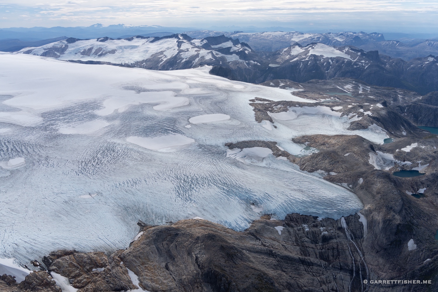
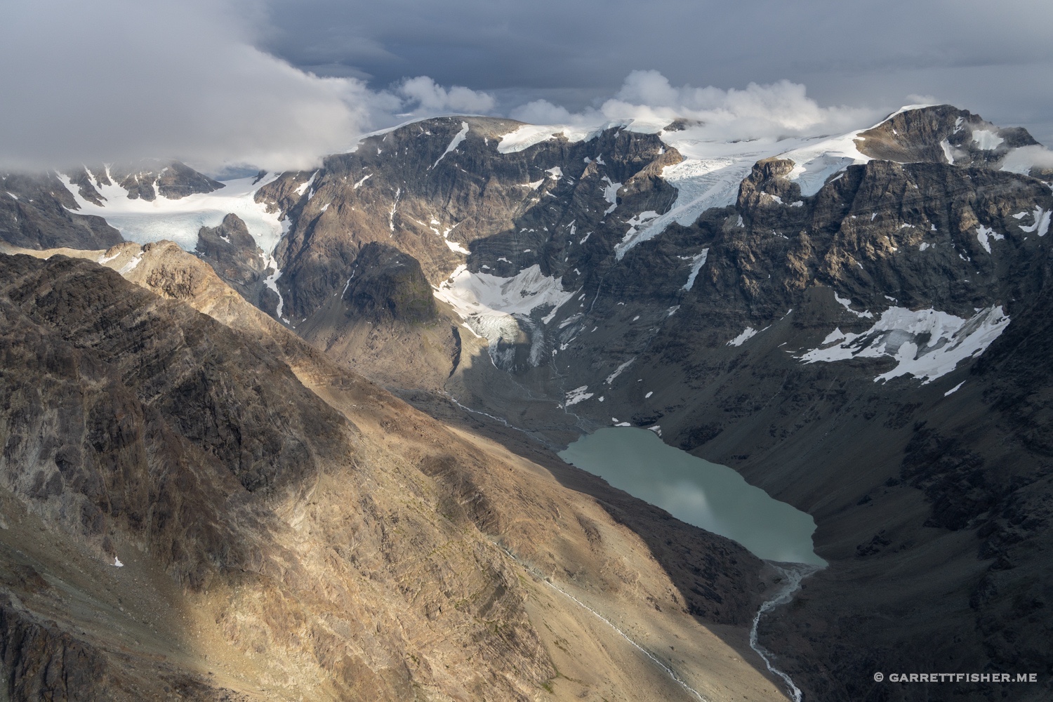
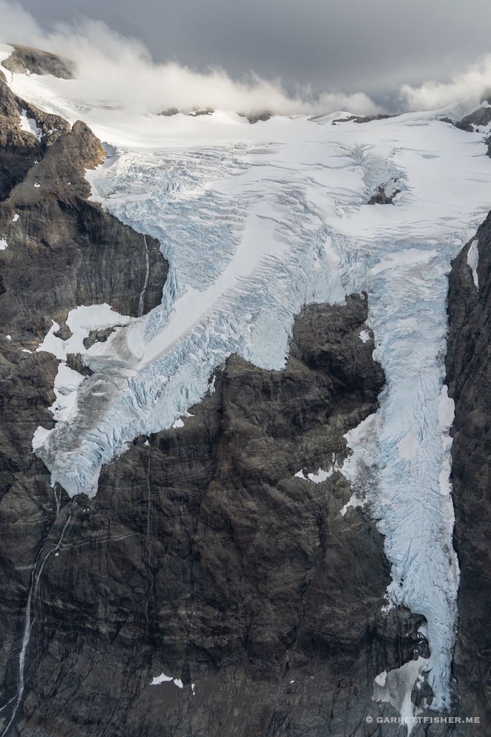
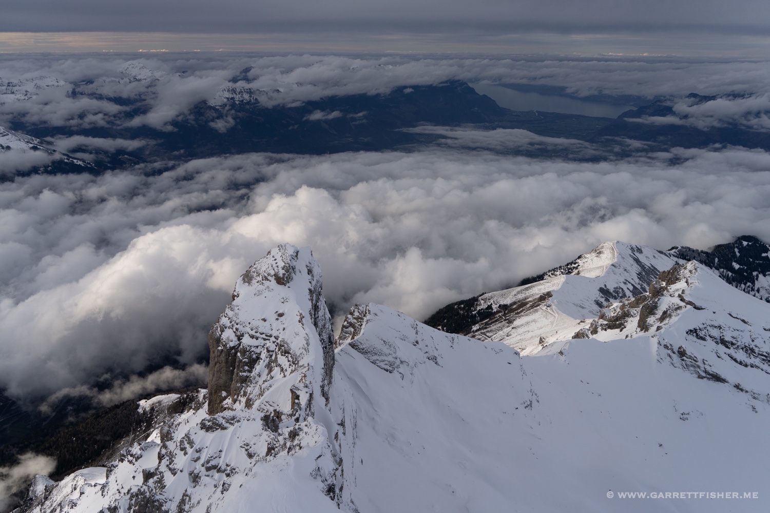
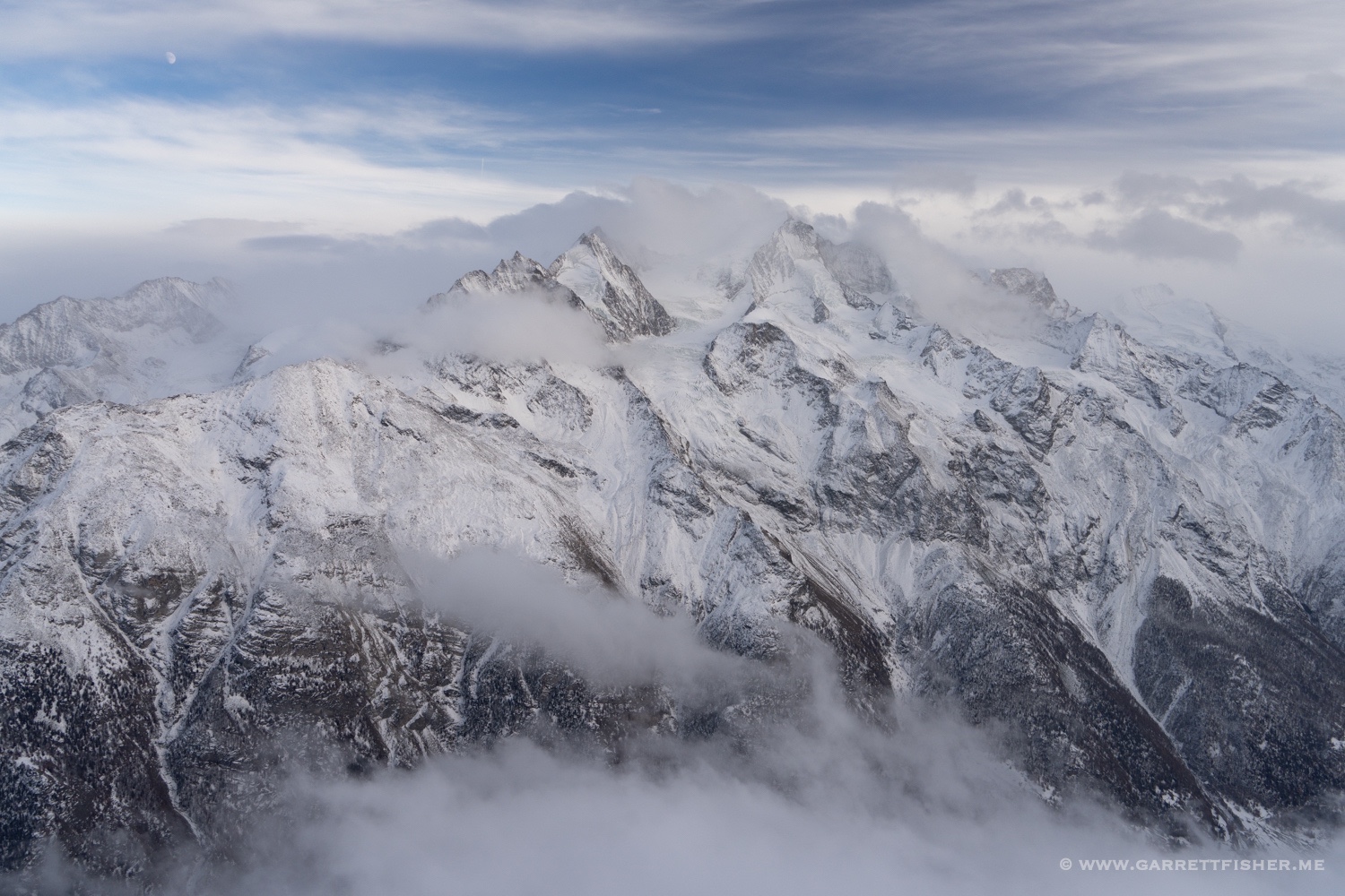
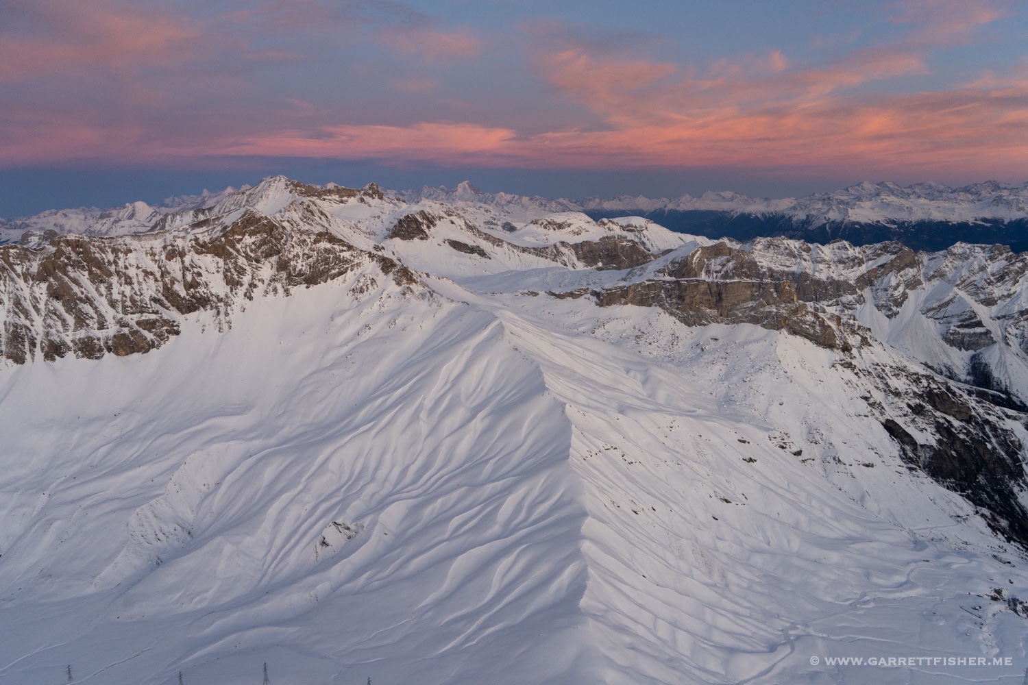
I did some particularly close flying over Konkordiaplatz at the Aletschgletscher. It looked like late August…. snow levels up to the firn line at 12,000 feet, with torrents of meltwater running down the surface of the glacier. As I flew over the convergence of the glacier, I could see a new channel cutting, something that is foreboding, as a river is cutting on the surface. Mer de Glace, France, the second longest glacier in the Alps, has a new massive meltwater channel running down the middle of it, something that showed up this summer. I fear for the future of this glacier.
Impressed yet saddened, I continued my flight east, enjoying more glaciers on the Italian side of Piz Bernina. Again, it felt like August, which was hard to believe.
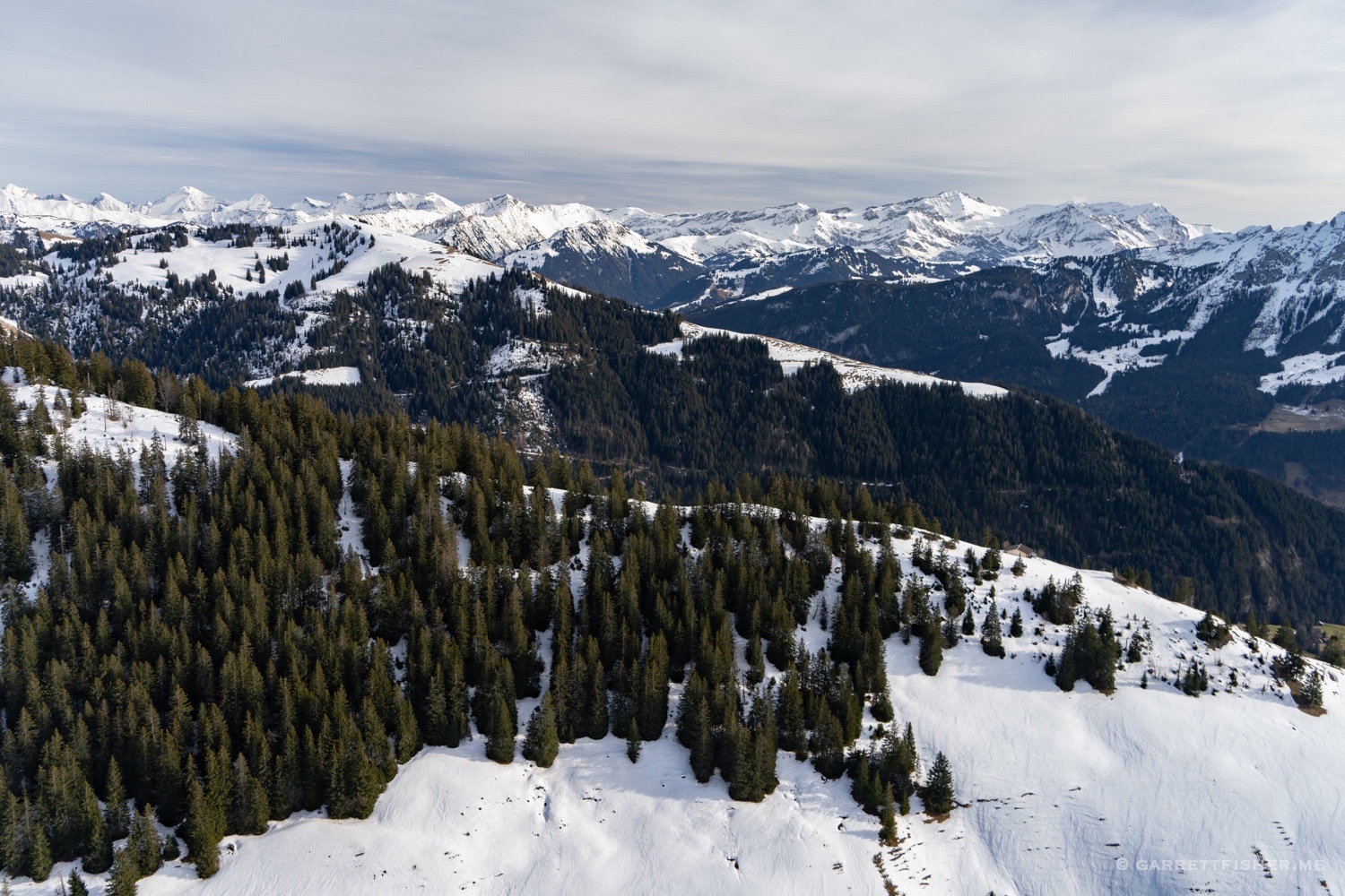
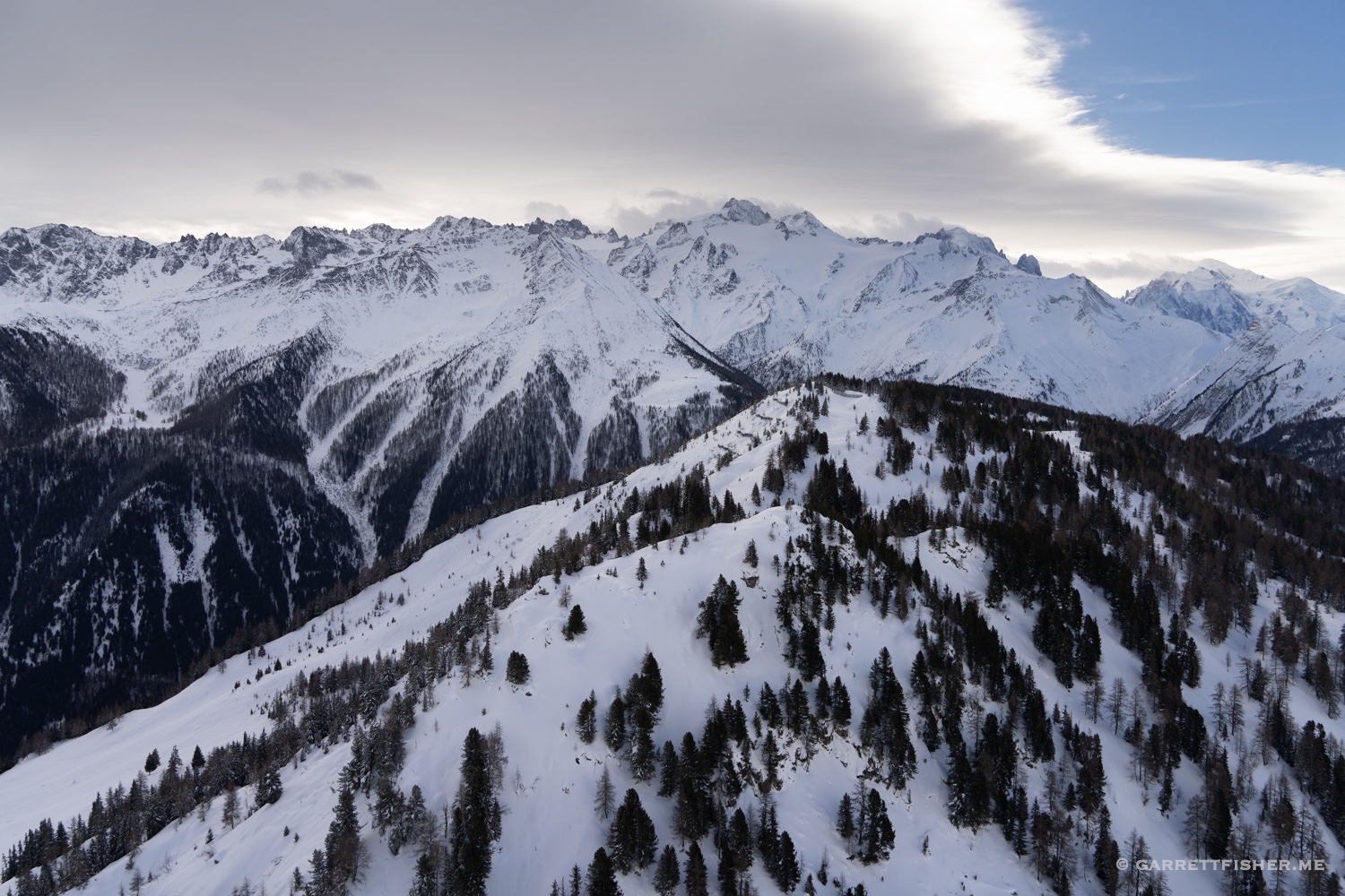
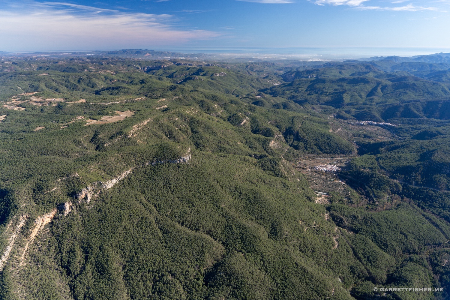
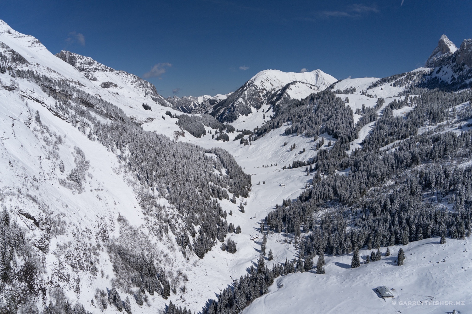
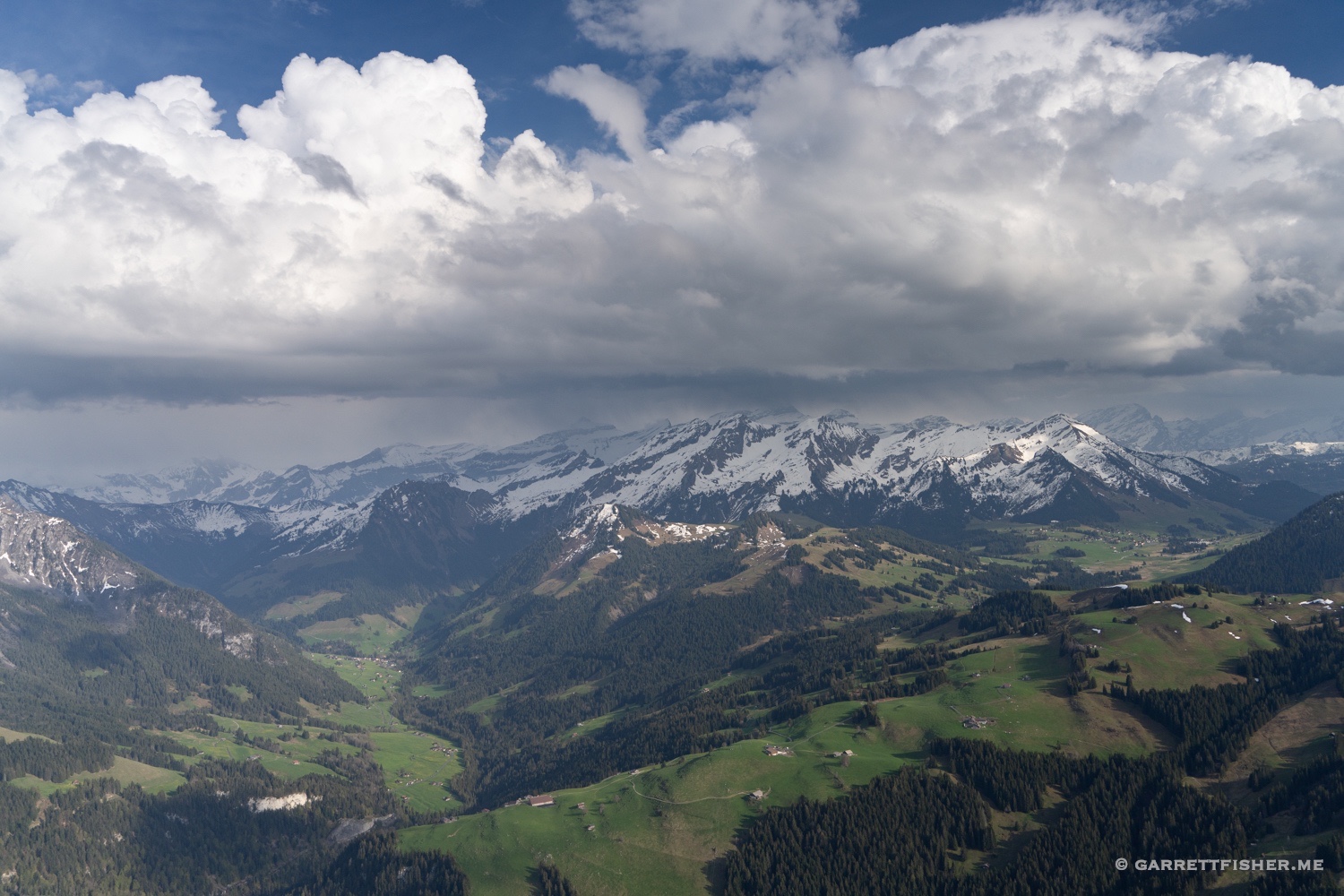
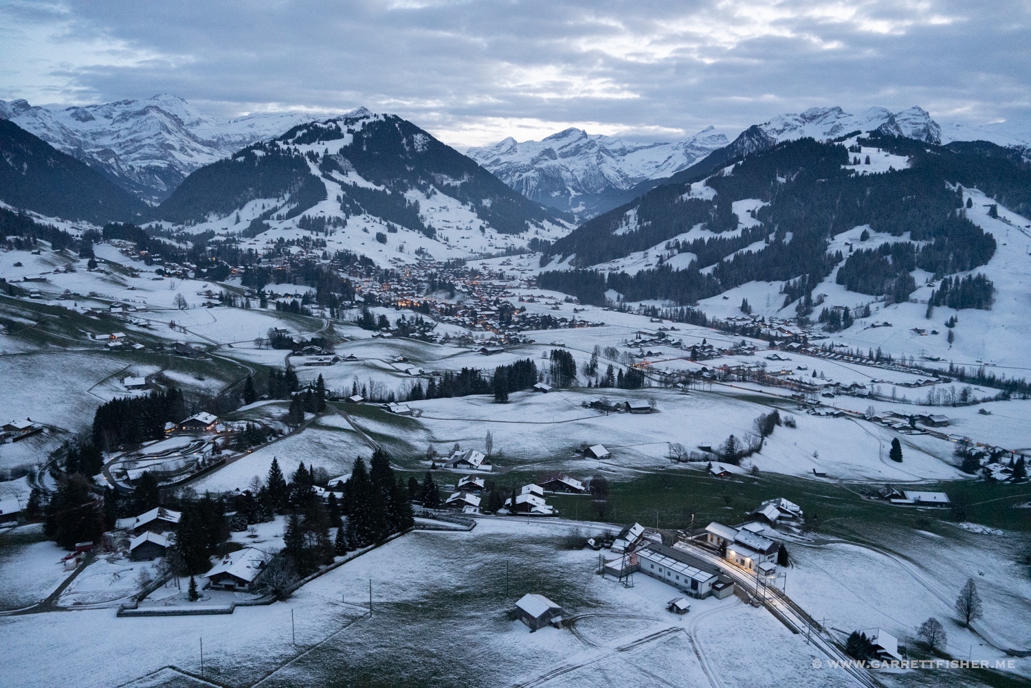
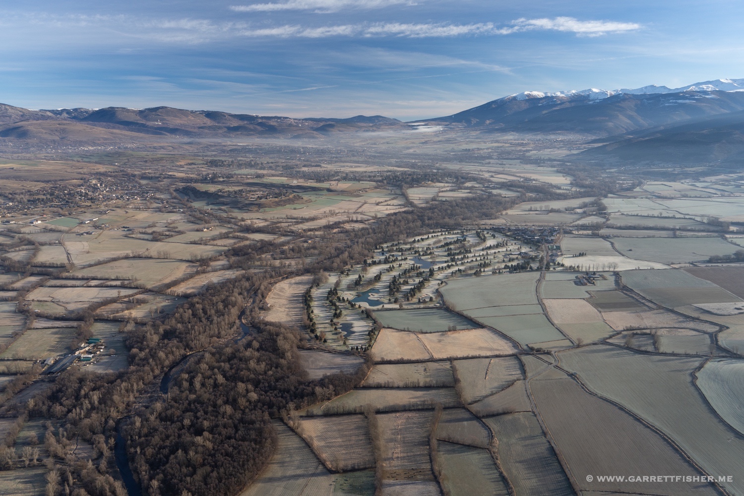
Once in the valley, autumn was in full swing. I had the chance to fly several times, though not as many as I had hoped, as not every day was sunny. I came to focus on the autumn color, though I had a choice to make. Do I get more glaciers in Italy and Austria, or focus on the trees? “The glaciers won’t last forever, but autumn will be here every year,” I said to myself, so I found myself heading into the flight levels with the Super Cub, enjoying cabin heat, range, and speed, covering much more territory than when I attacked the glaciers of the Alps in 2021, visiting glaciers up to the Brenner Pass.
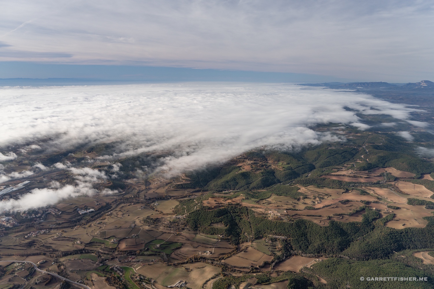
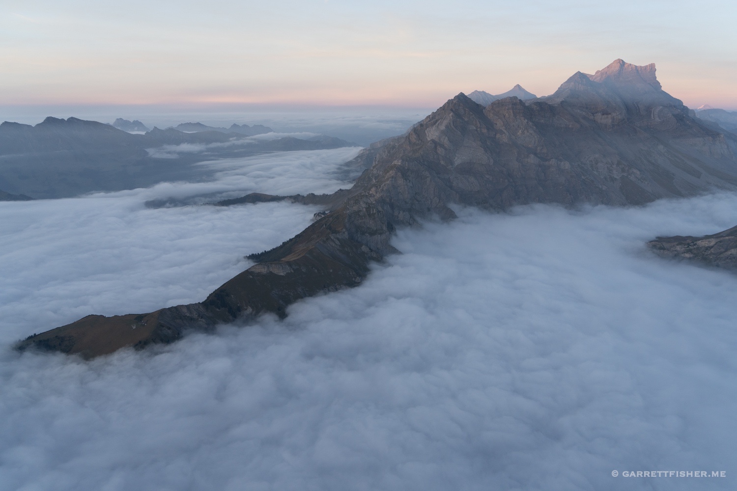
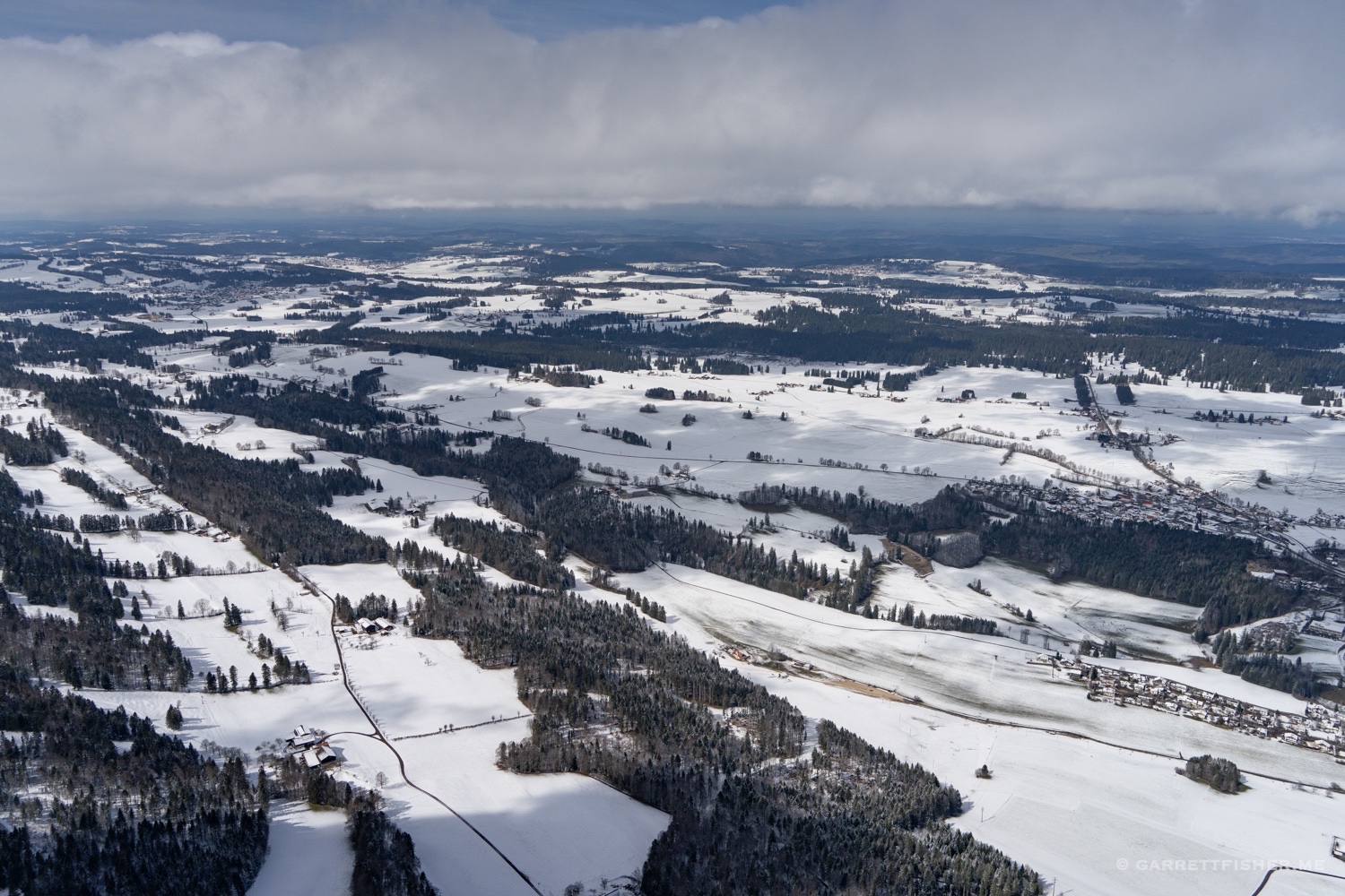
It snowed for the first time after 5 days, covering the Alps in an impressive dump of snow, putting an end to glacier season, finally, in the third week of October. I was then able to focus on the autumn color.
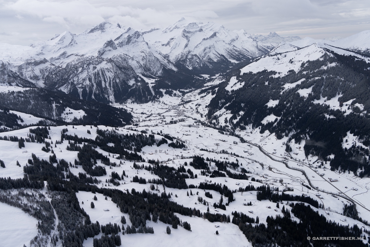
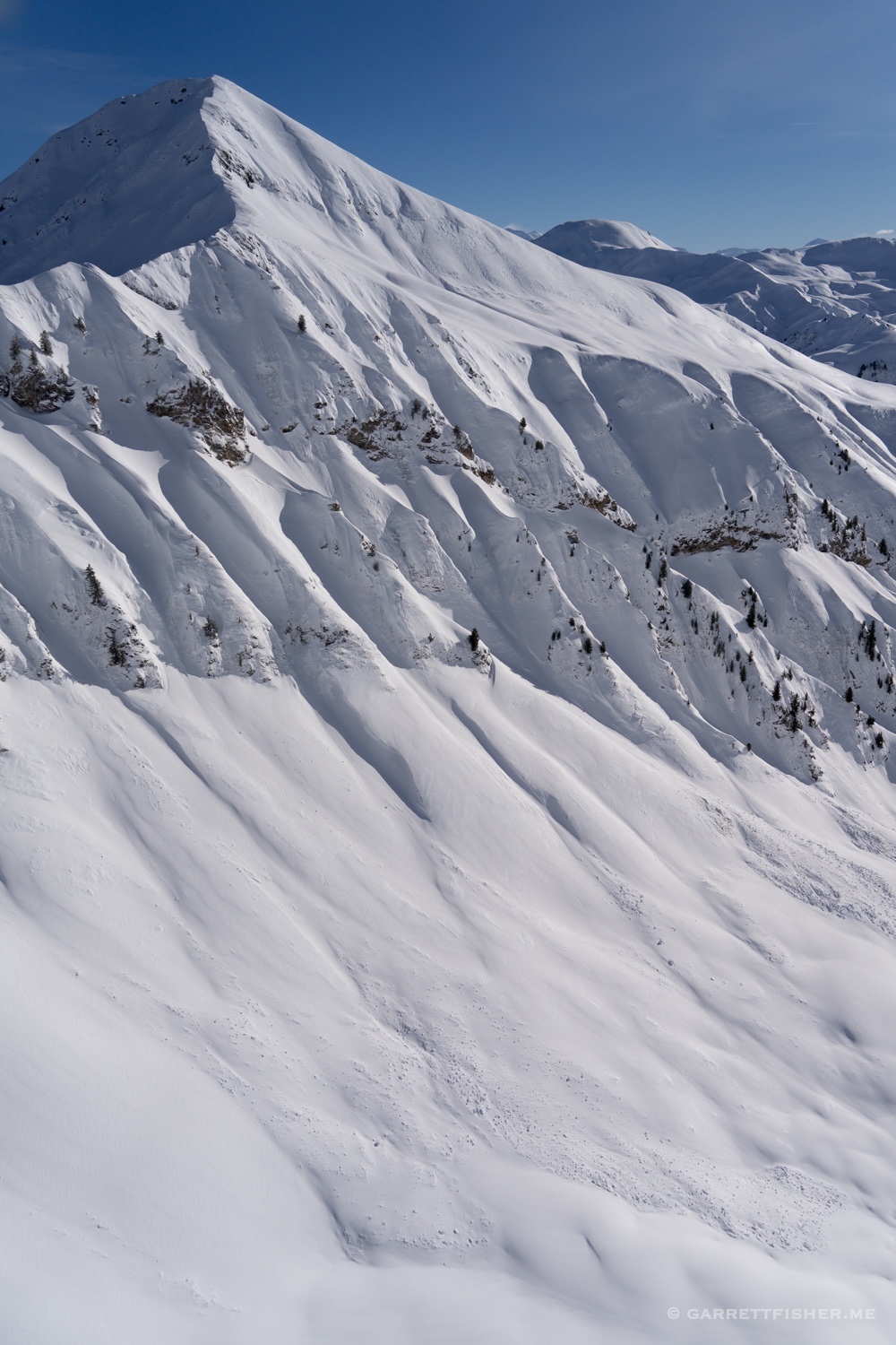
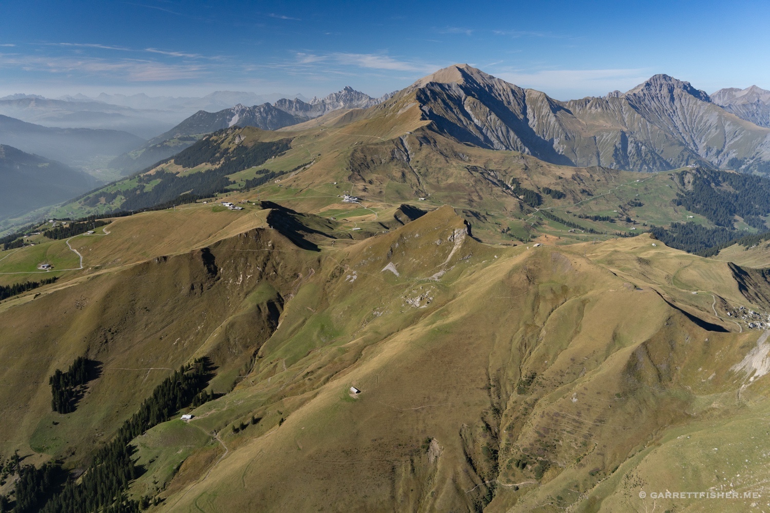
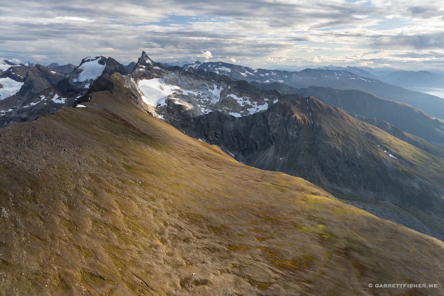
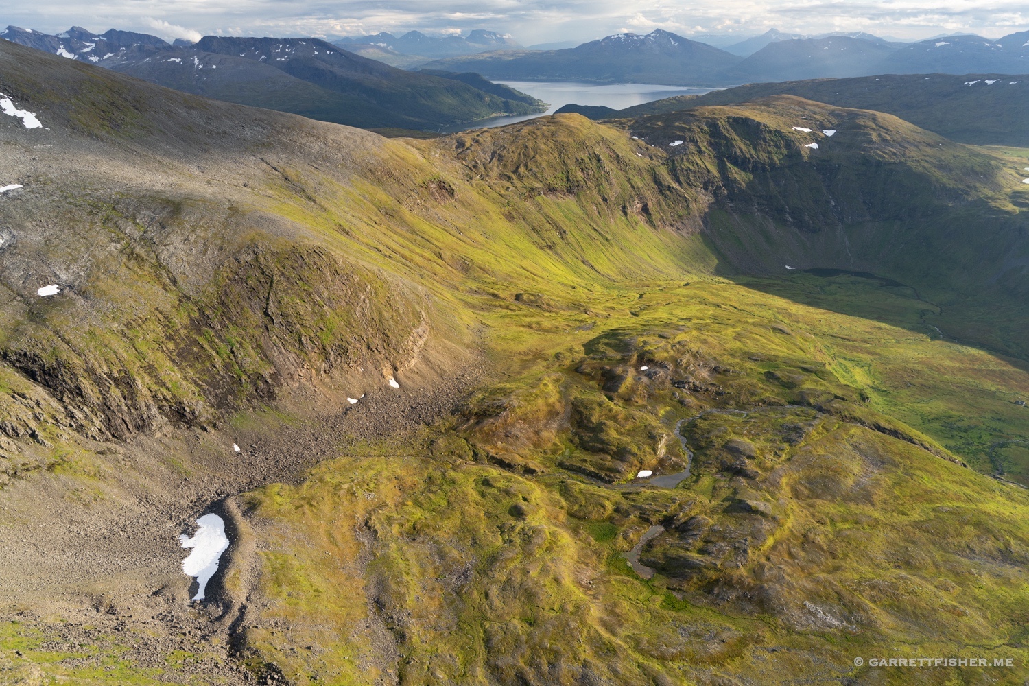
It was interesting as I then became aware of the valley’s narrowness. It is impressively tight by any measure and always has been. However, the PA-11 is just slow enough to draw a person to flying down low. The Super Cub is just fast enough to cause one to incline toward flying higher up. I found myself not down in the trees, but at higher altitude, looking to capture sweeping views of the terrain above as it flows to the valleys below.
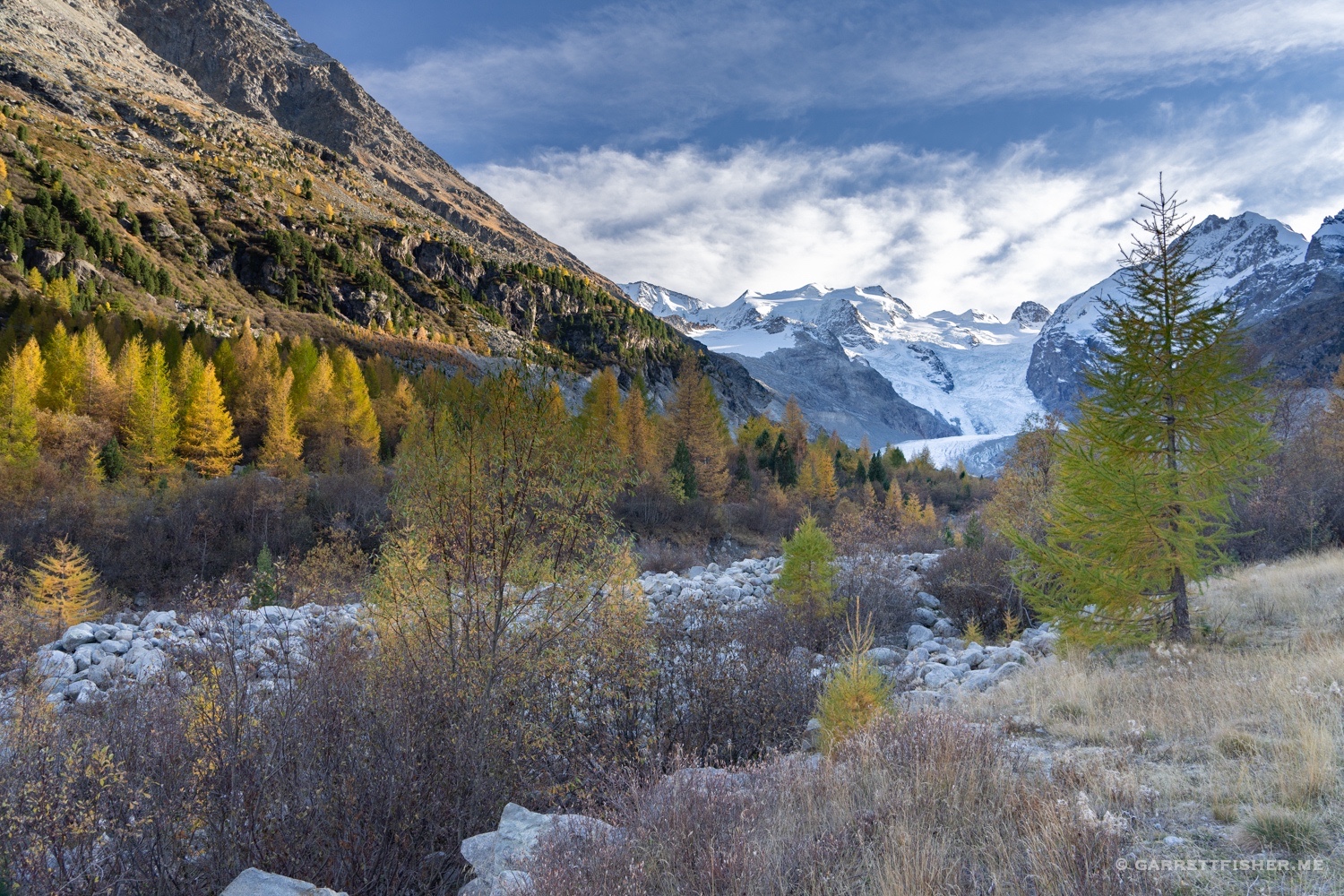
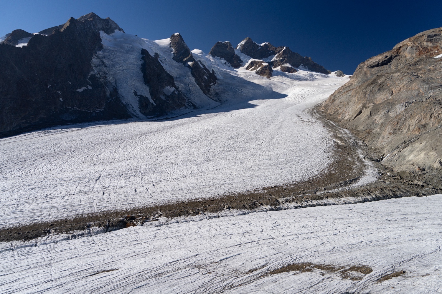
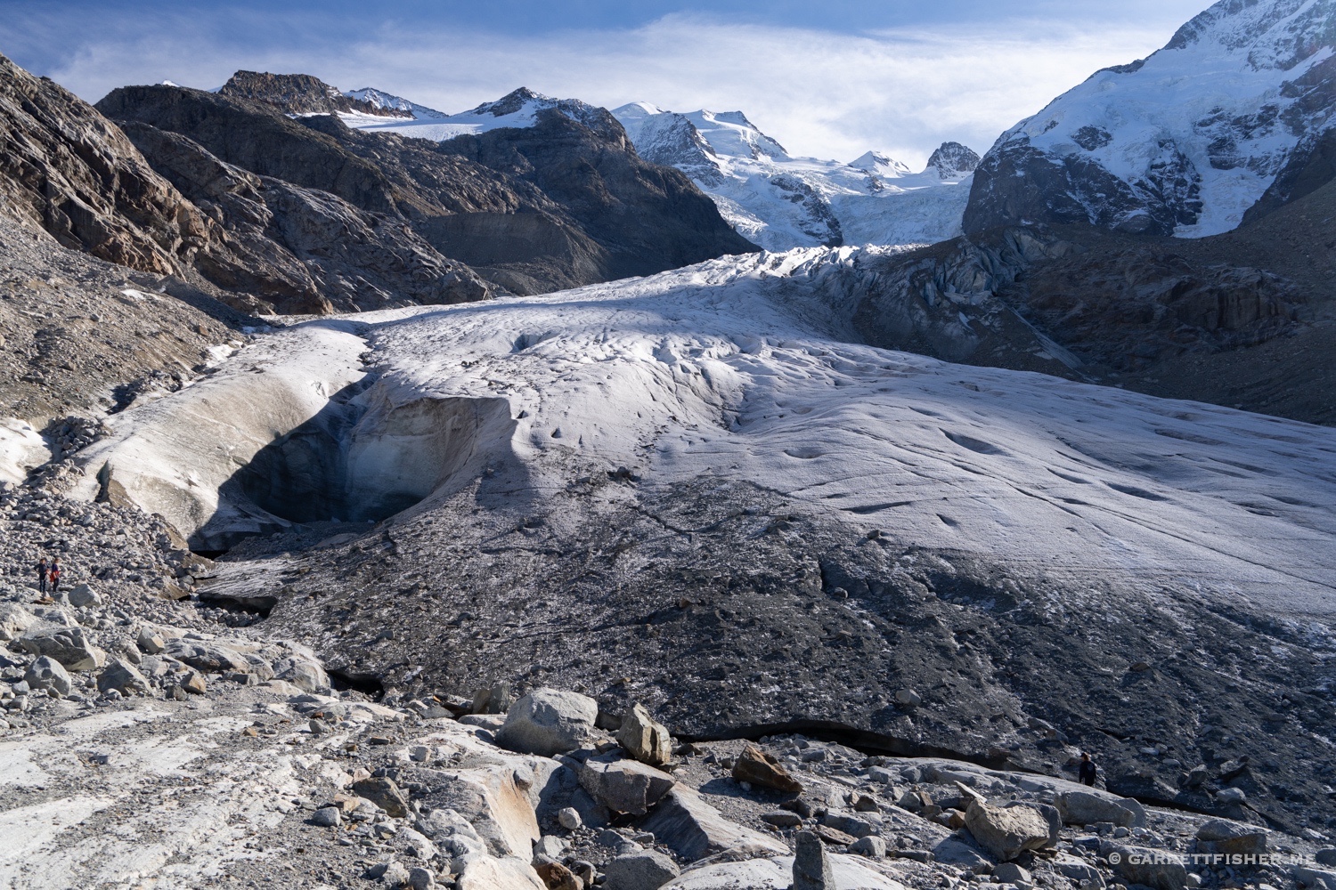
Since we visited for two weeks, I had the chance to hike to the Morteratschgletscher, one of the highlights of the trip. The day was resplendently blue, with bright larches, a rushing glacial outlet river, and views of Piz Bernina behind it. What was supposed to last a shorter period was much longer, as the glacier had receded quite a distance since Google last took a satellite shot. There was a moment to stand on the glacier itself, appreciating the sheer magnitude of these features that I fly over. They are truly massive, and every crevasse and feature is much bigger than it looks from the air. I was reminded why I do this…photographing them….as I could feel the impermanence standing on the ice.
I had hoped to write another autumn book based on my time in the Engadin, to recreate 2013. The inspiration did not strike, however, and I left with some clarity and confusion. The trip dislodged the notion that autumn could be no better than Summit County, yet I wondered why I had such a view for so long. Is memory that elusive and confusing?
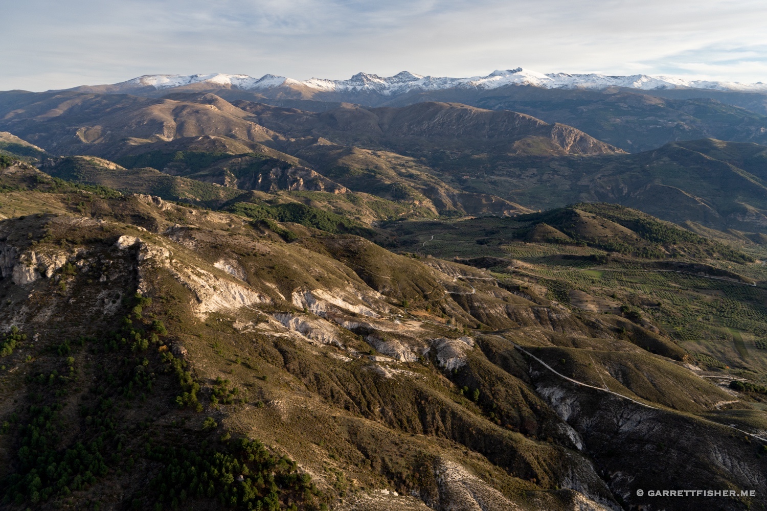
It was a recent walk in the woods where I decoded the mystery of my 2013 experiences. Autumn, along with a few other factors, was a complete surprise upon my arrival in Colorado. It was so mind-blowingly incredible that it left an indelible first impression; however, as life would have it, we left the region before I could experience it a second time for perspective. Thus, it burned into the mind this notion that autumn had to rise to the level of a first-time experience when few things can repeat themselves with such intensity. It took an objective analysis that the Engadin is probably five times prettier than Summit County to rearrange one’s views.
In any case, I don’t tire of it, and hope to return to see the larches in the future.
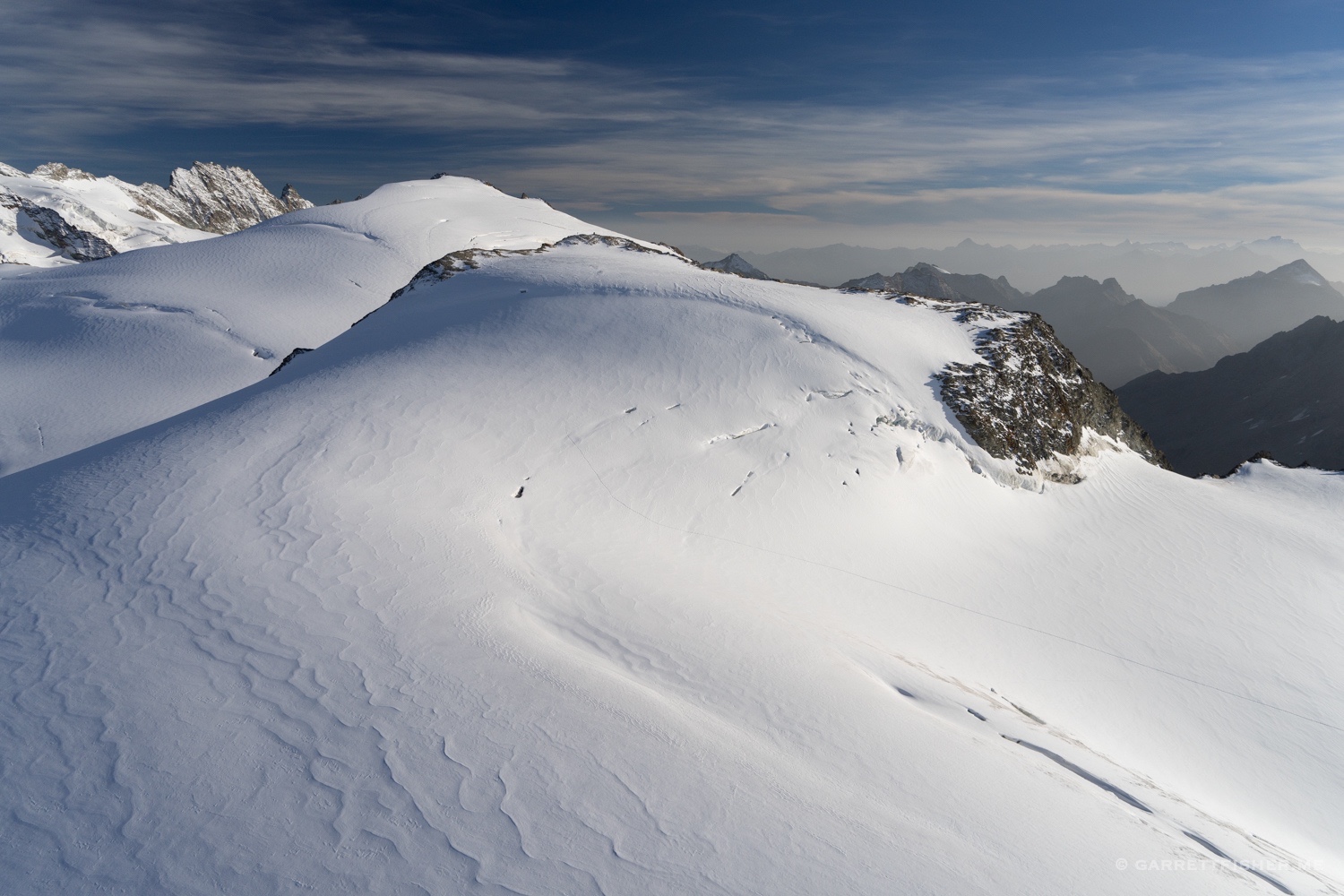
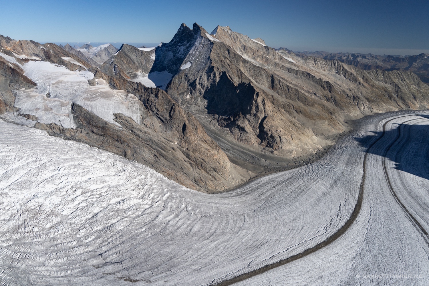
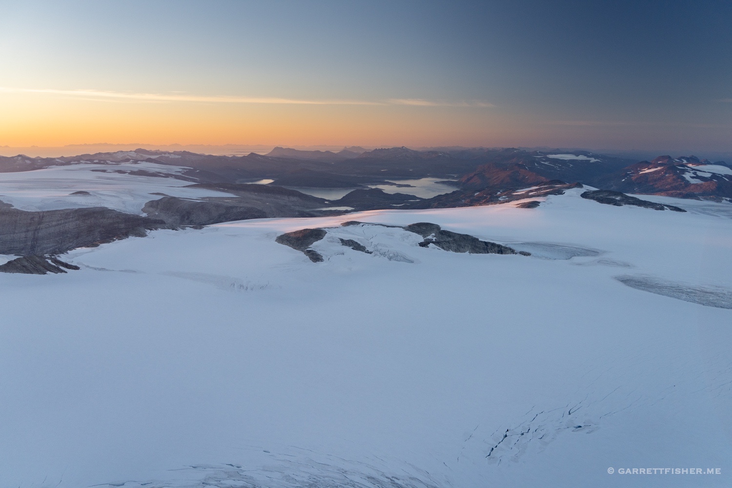
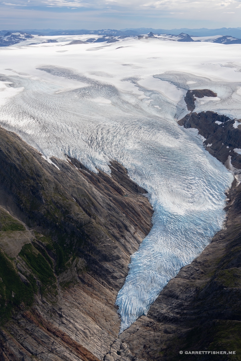
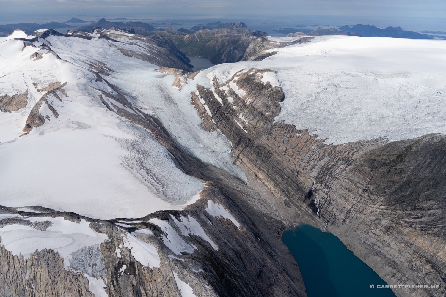
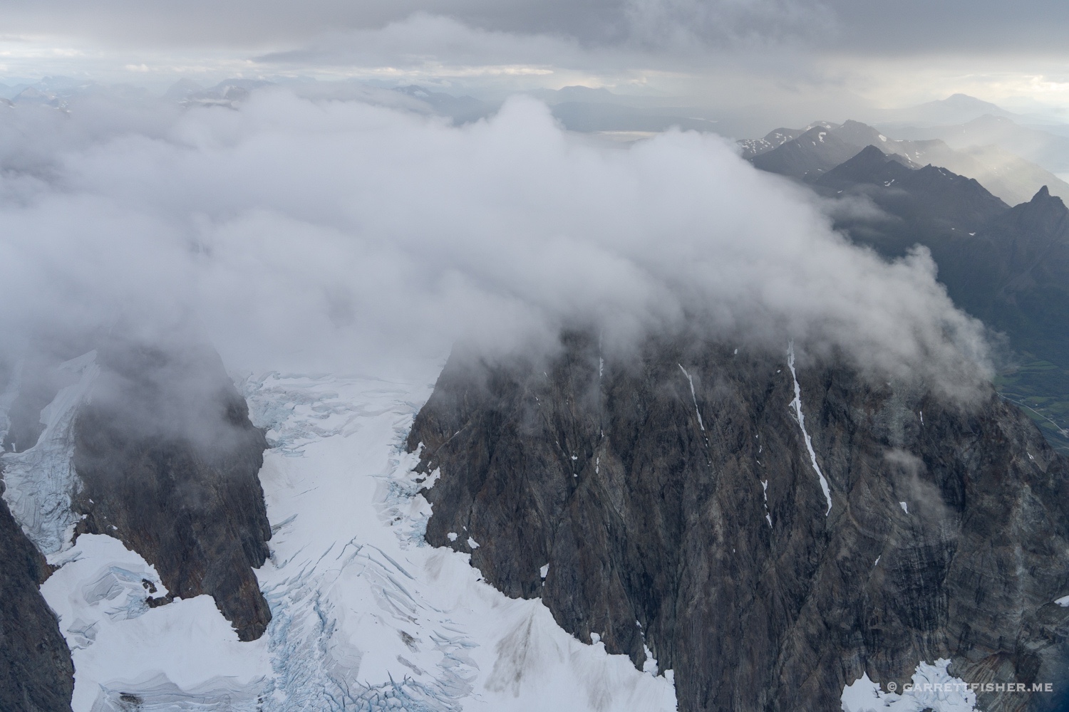
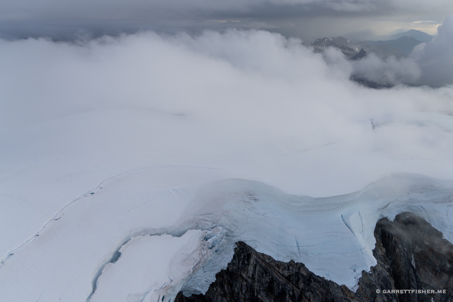
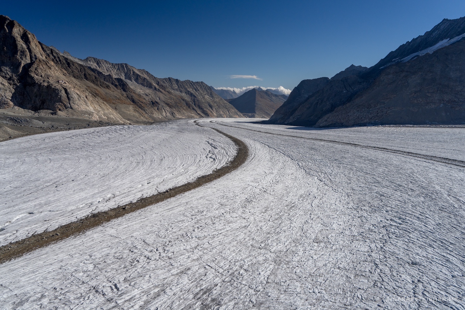
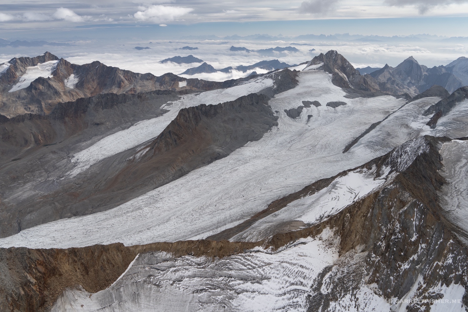
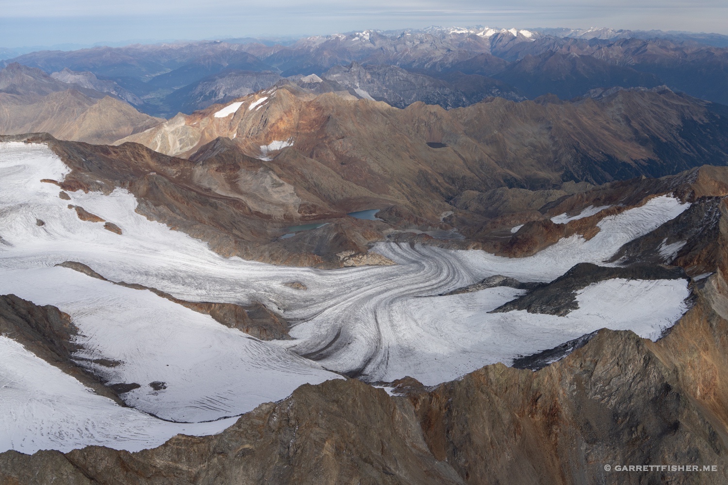
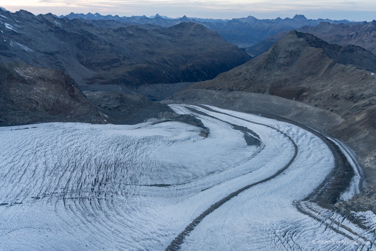
Konkordiaplatz, Aletschgletscher….no snow.
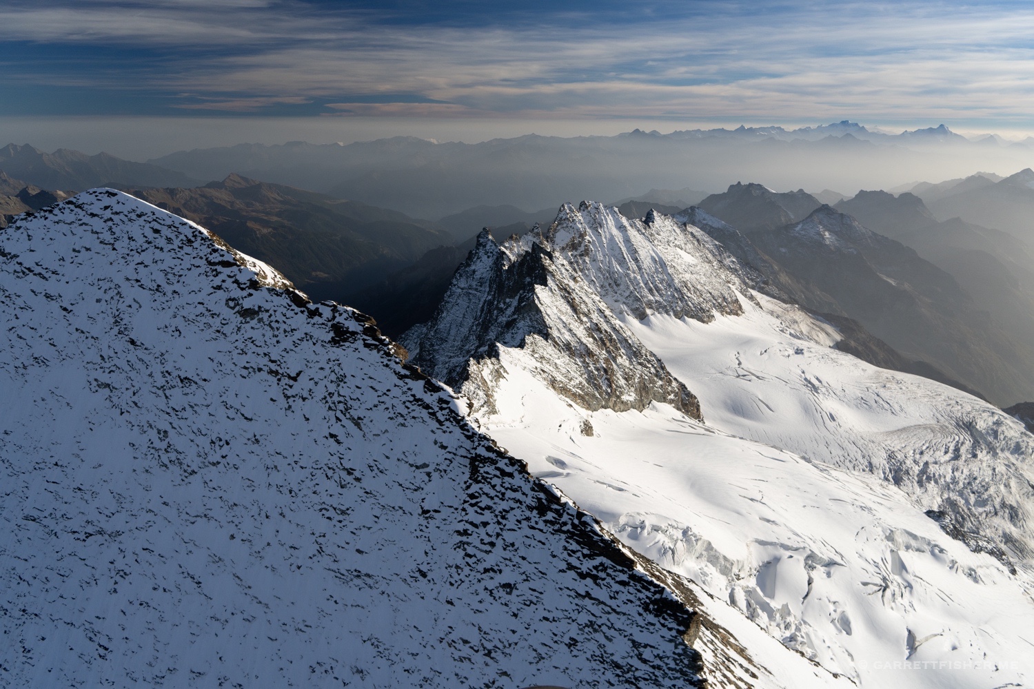
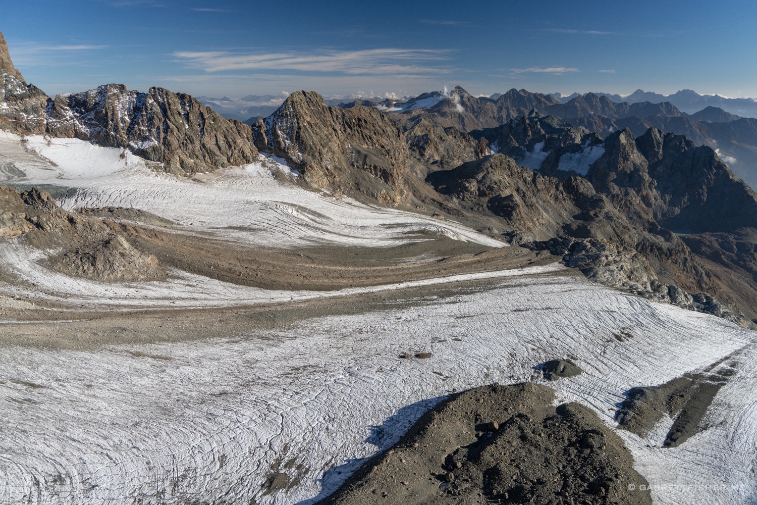
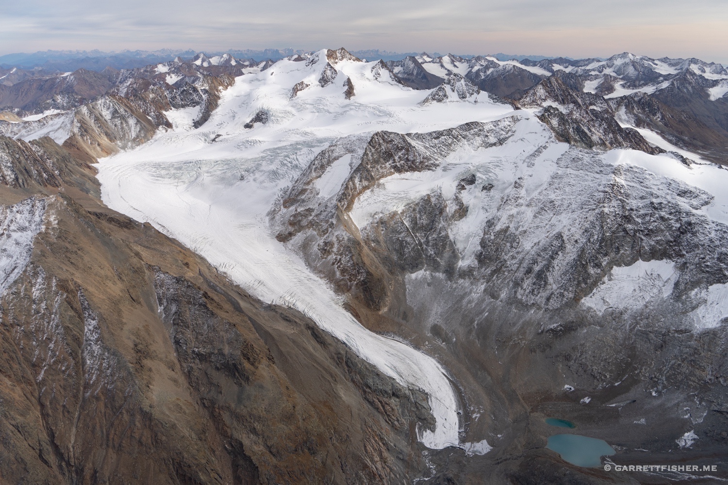
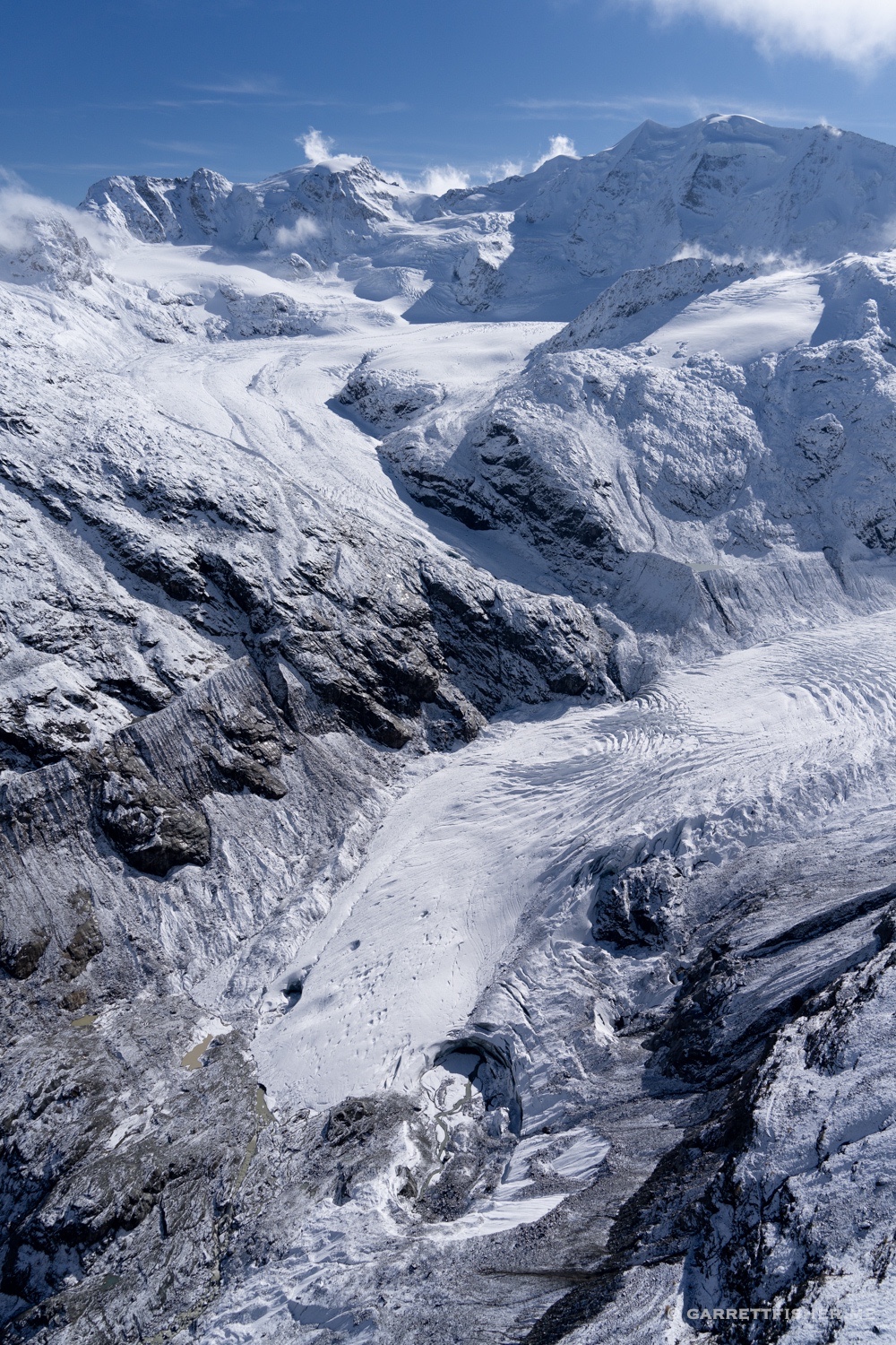
Looking the other way….feels a bit like kissing the glacier though believe it or not I was flying above it some distance.
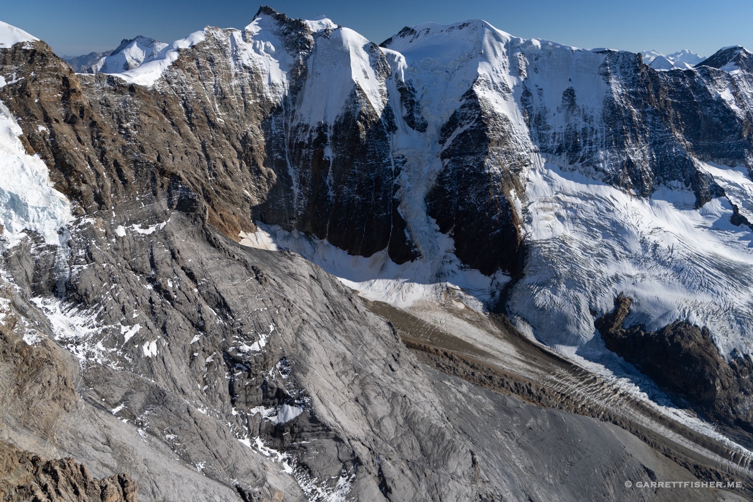
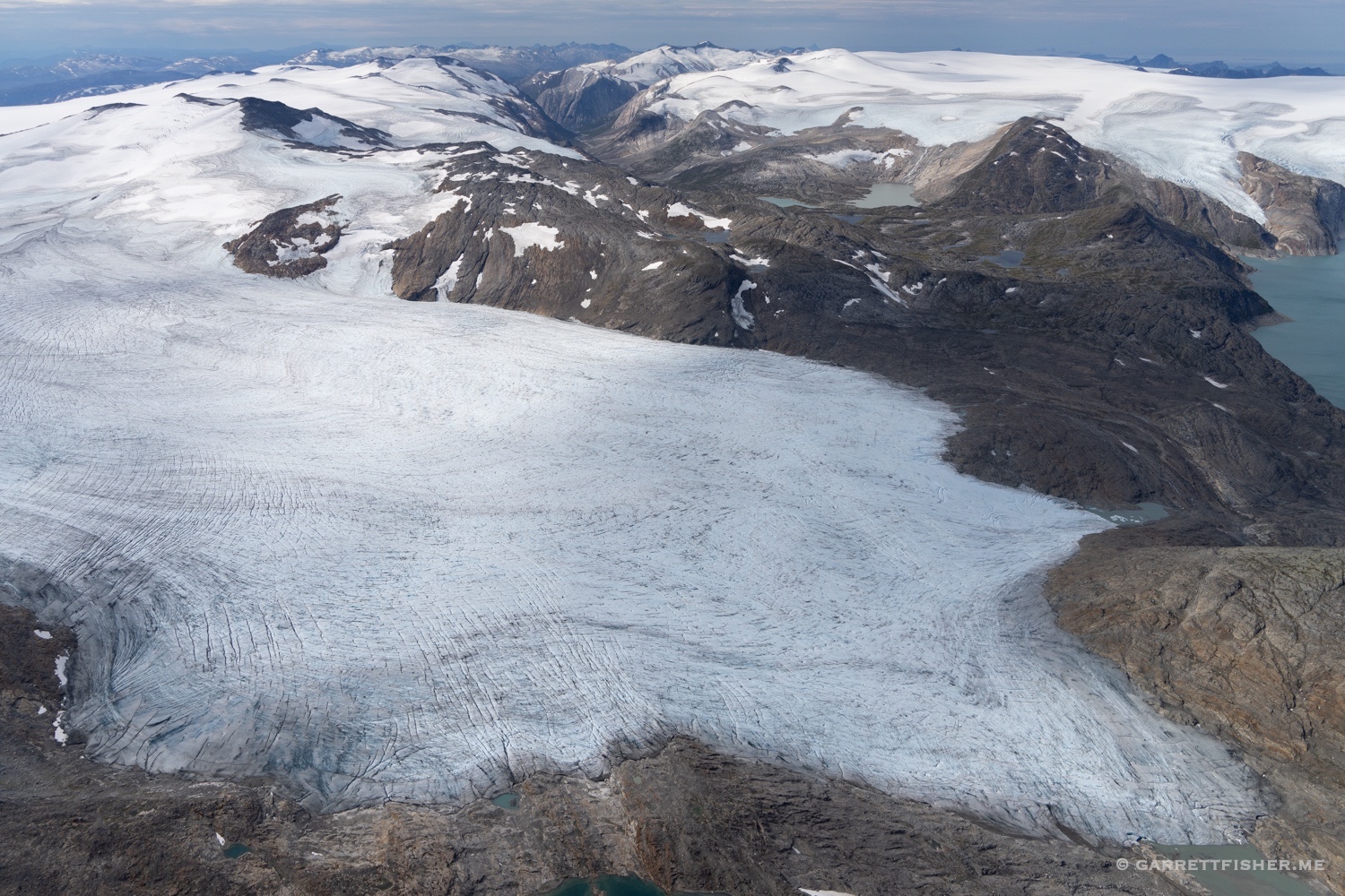
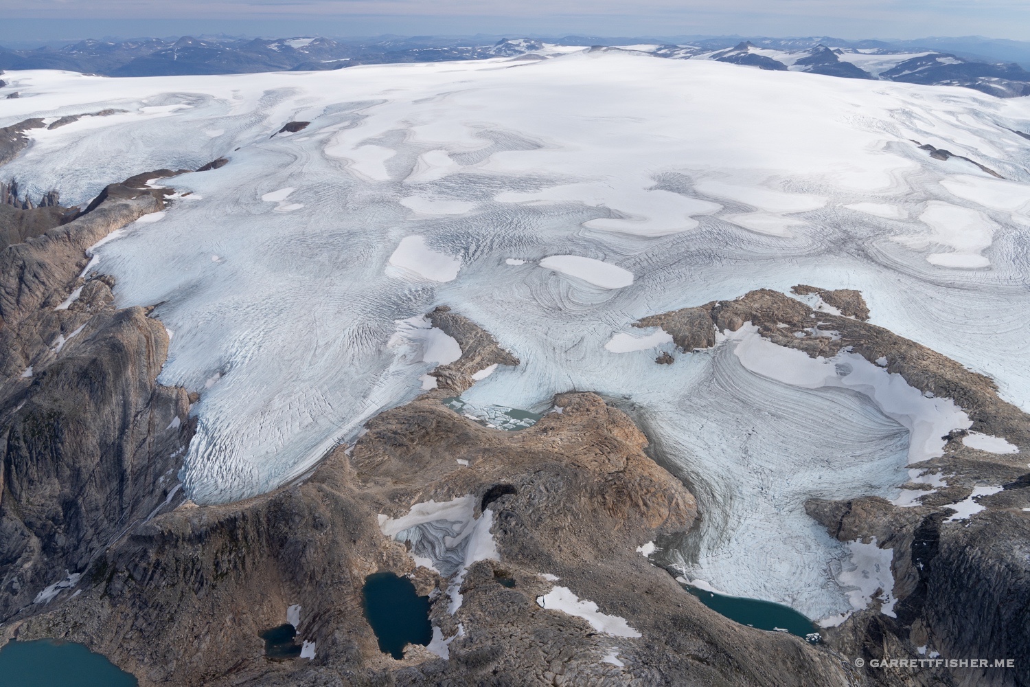
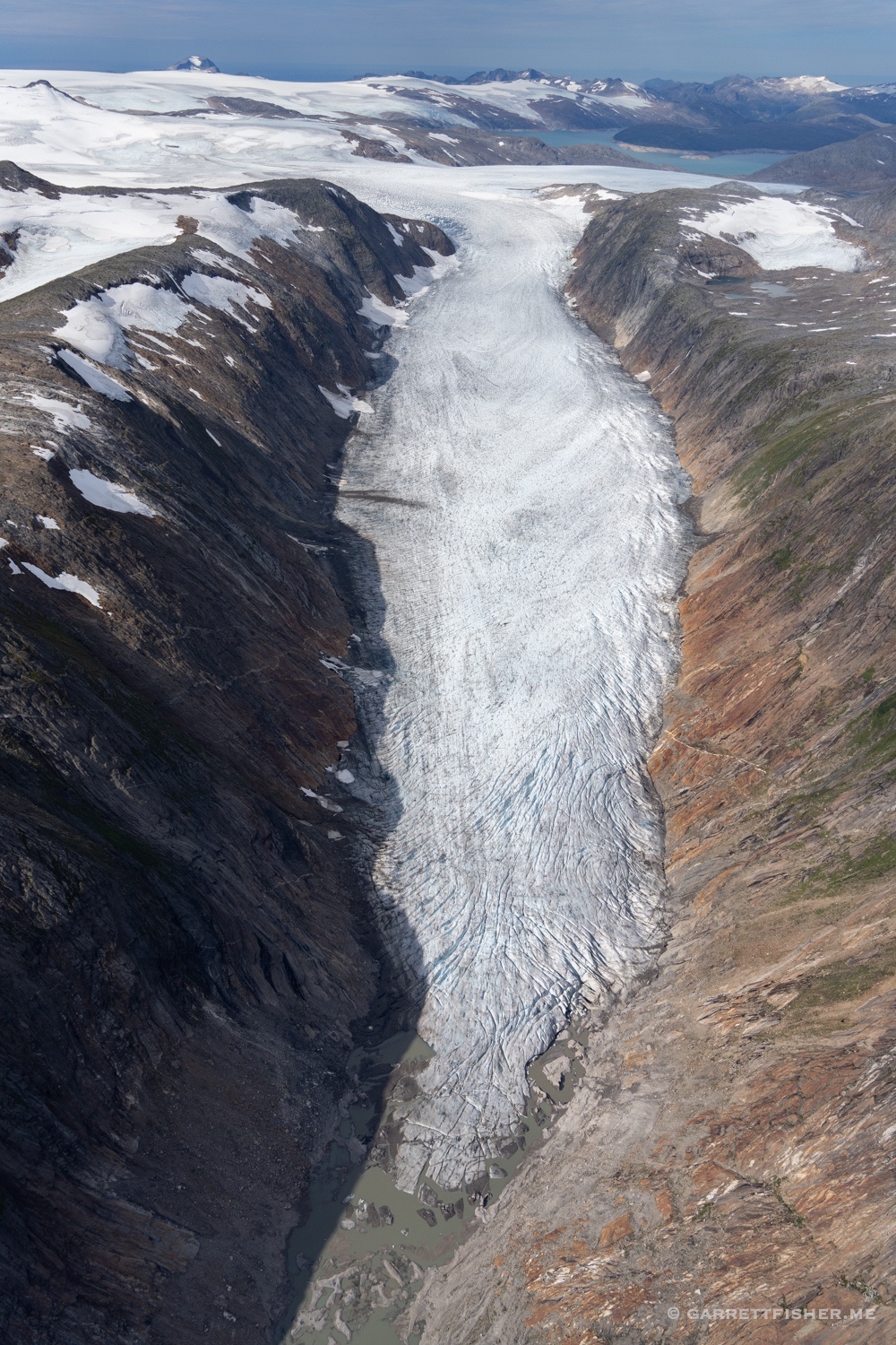
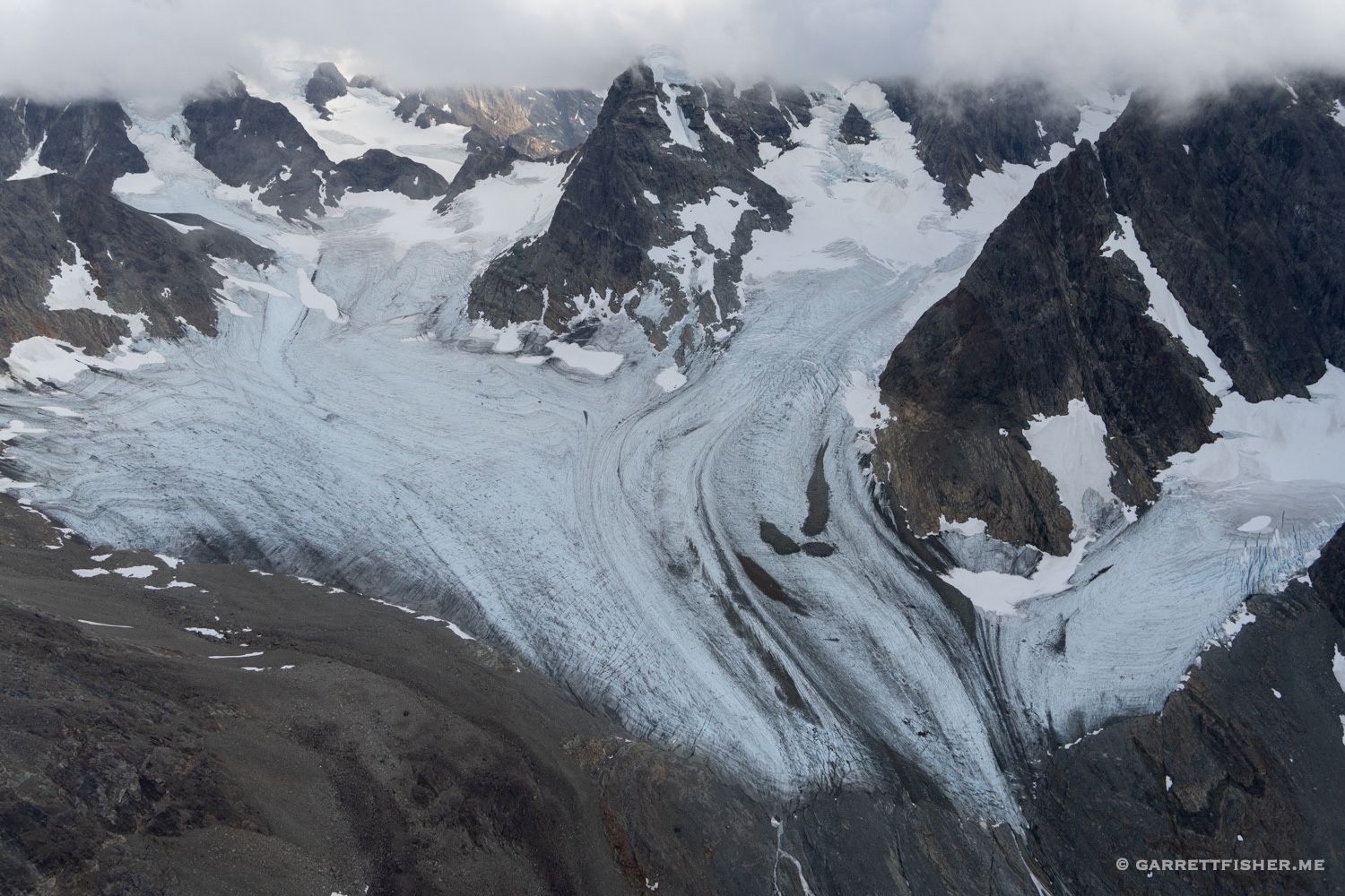
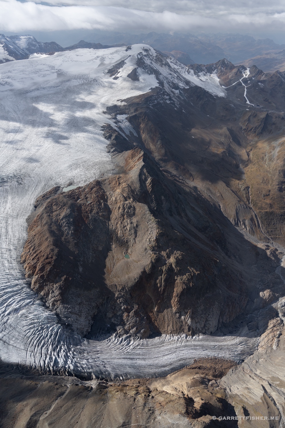
Vedretta di Scerscen Superiore, Italy.
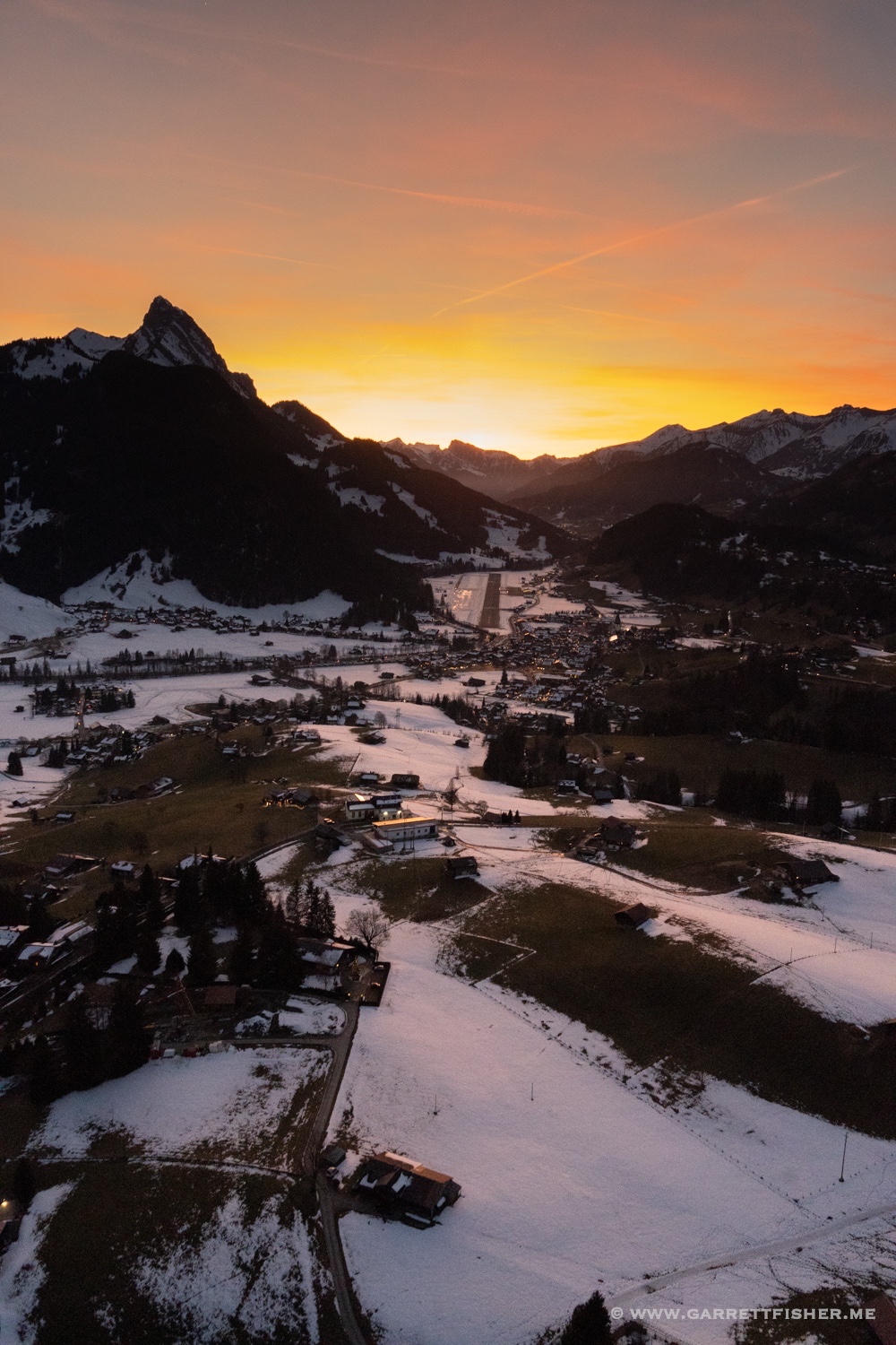
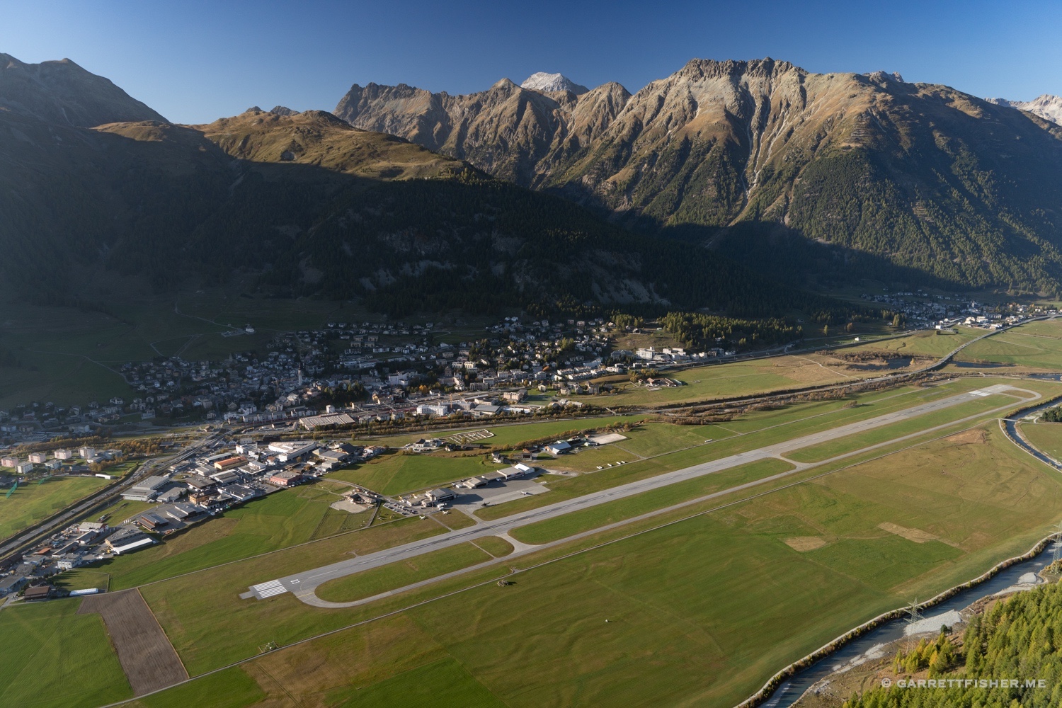
Engadin Airport!
Ötztaler Alps, Austria, on the border with Italy. A tad of snow fell the night before.
Annakogel, Austria. It was really quite windy and some hard flying. With extra power in the Super Cub, it didn’t matter with downdrafts almost everywhere.
Weißseespitze, Austria. I gave up with the wind.
A few days later….more snow. Cima Piazzi, Italy. The snow couldn’t get over the north side of the Alps, so the Italian glaciers were wide open.
Adamello, Italy.
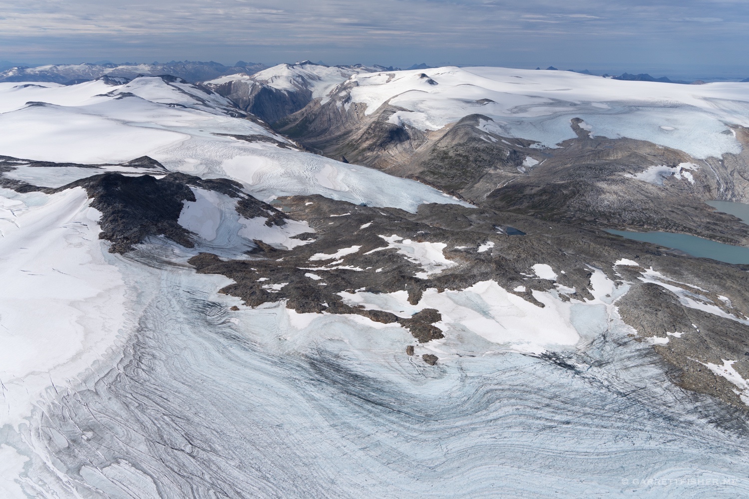
Vedretta di Malavalle, Italy….west of Brenner Pass.
Wildspitze, Austria.
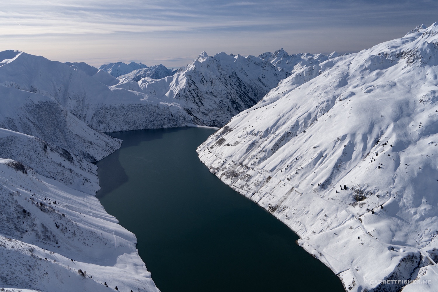
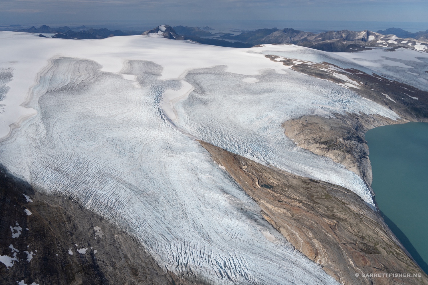
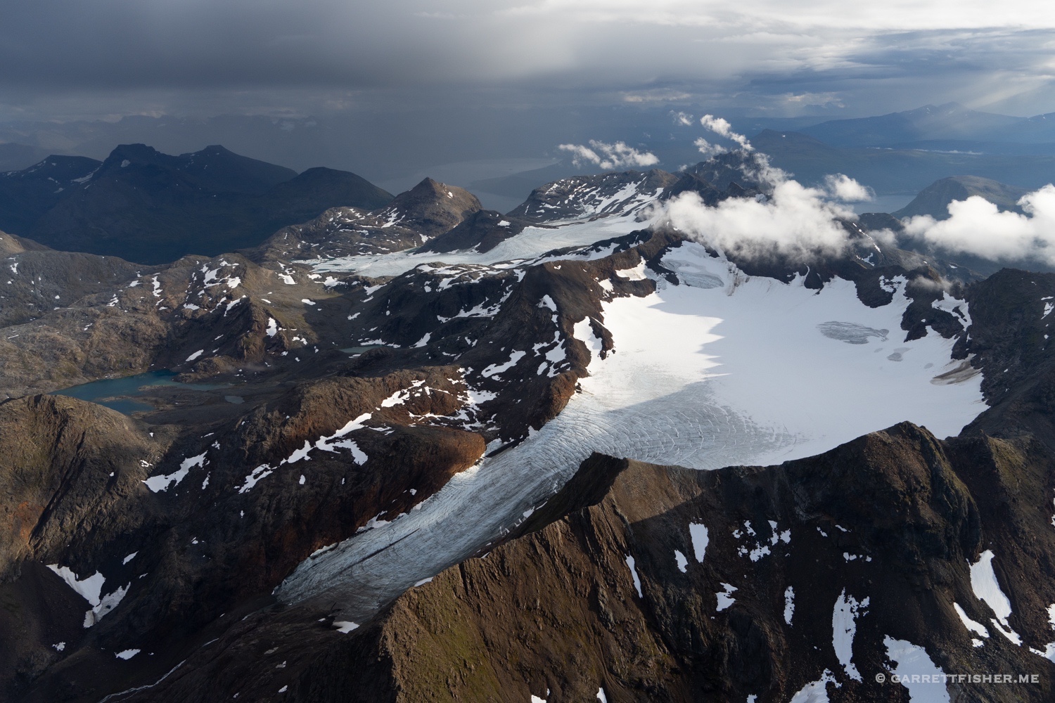
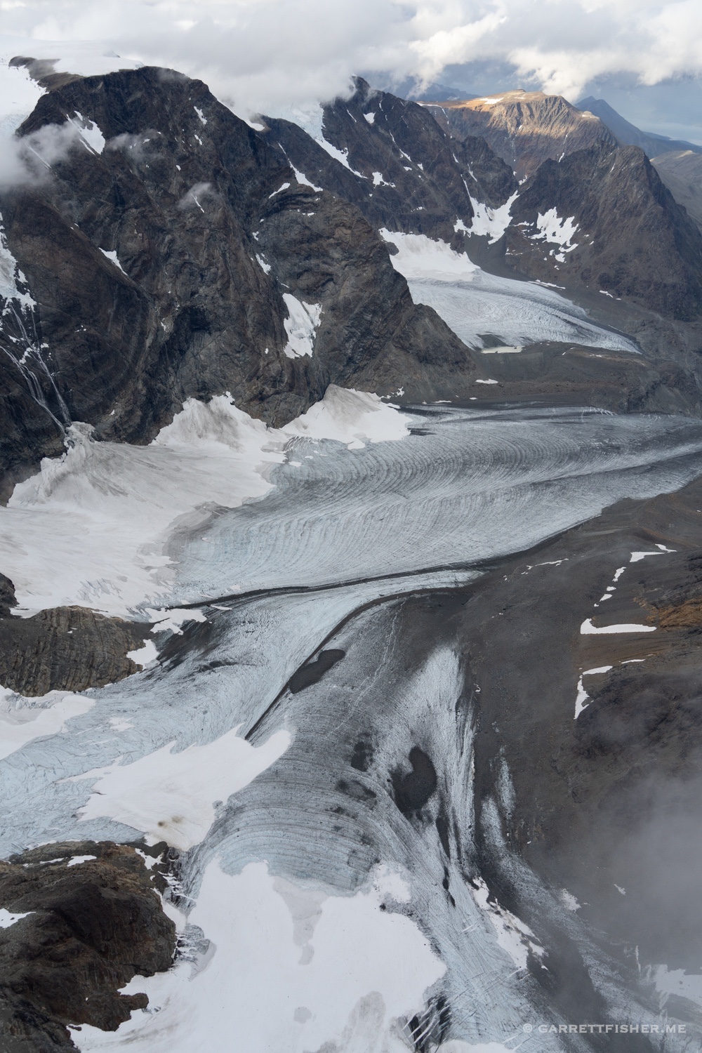
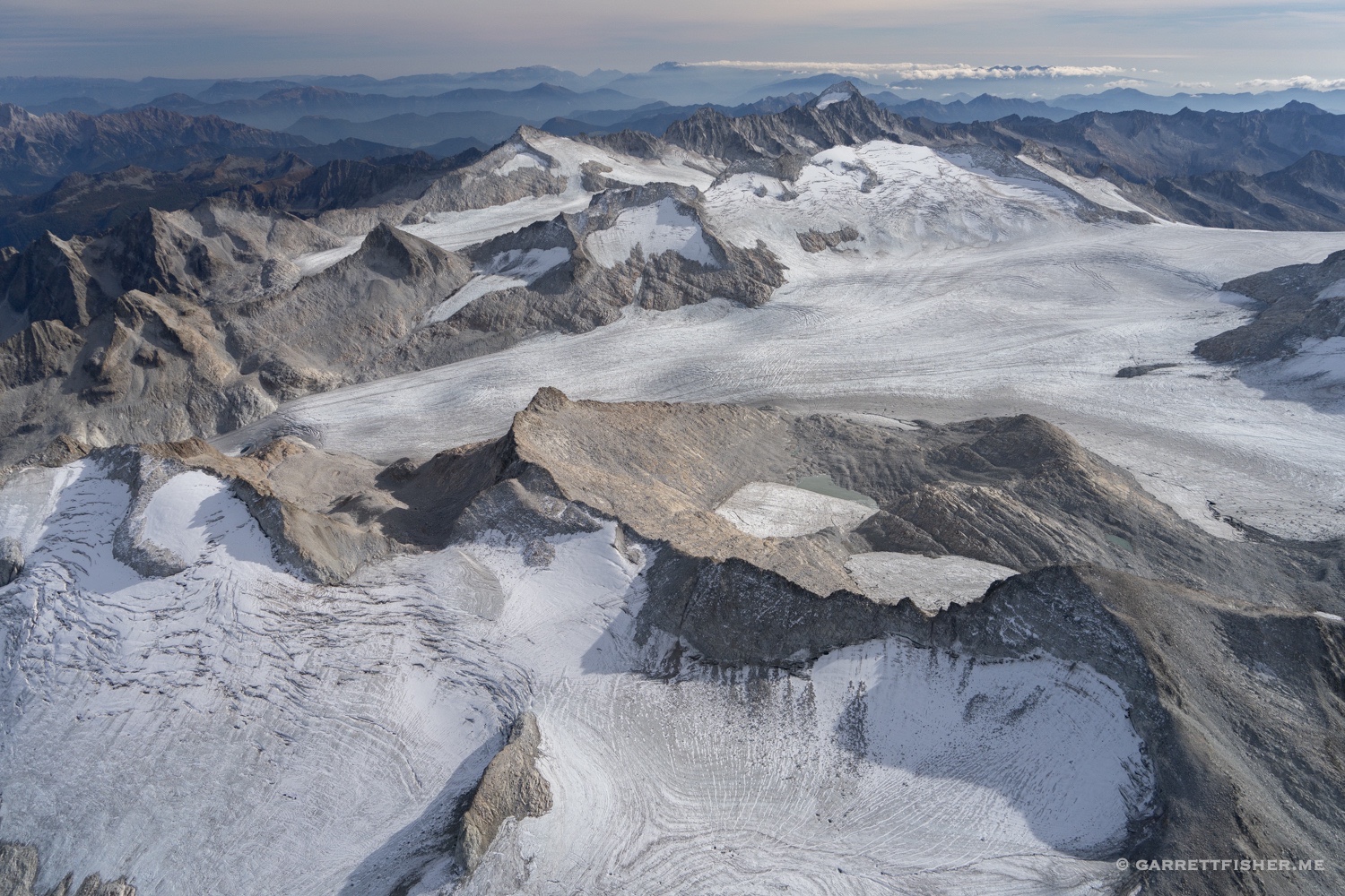
Vadret da la Sella, Switzerland.
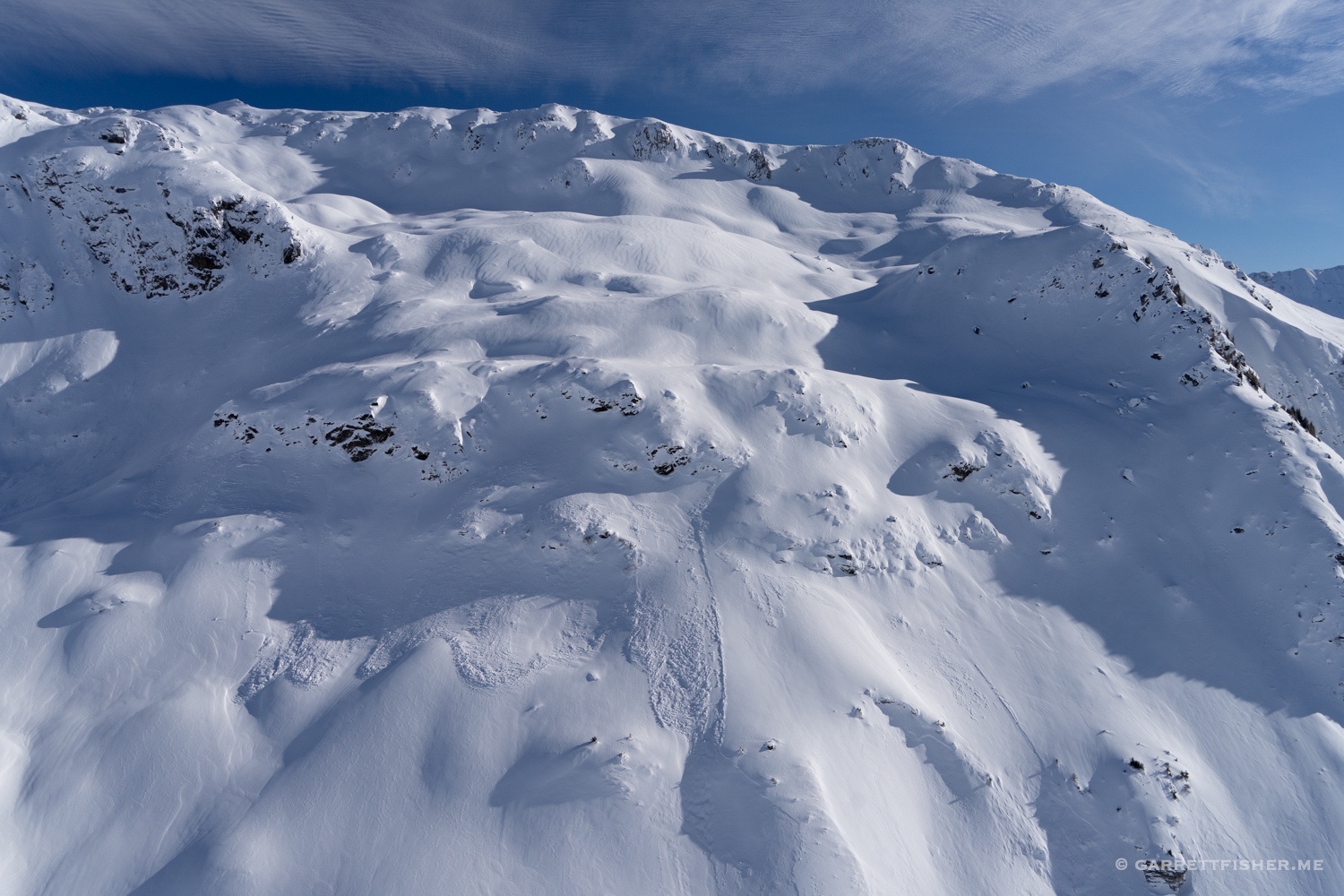
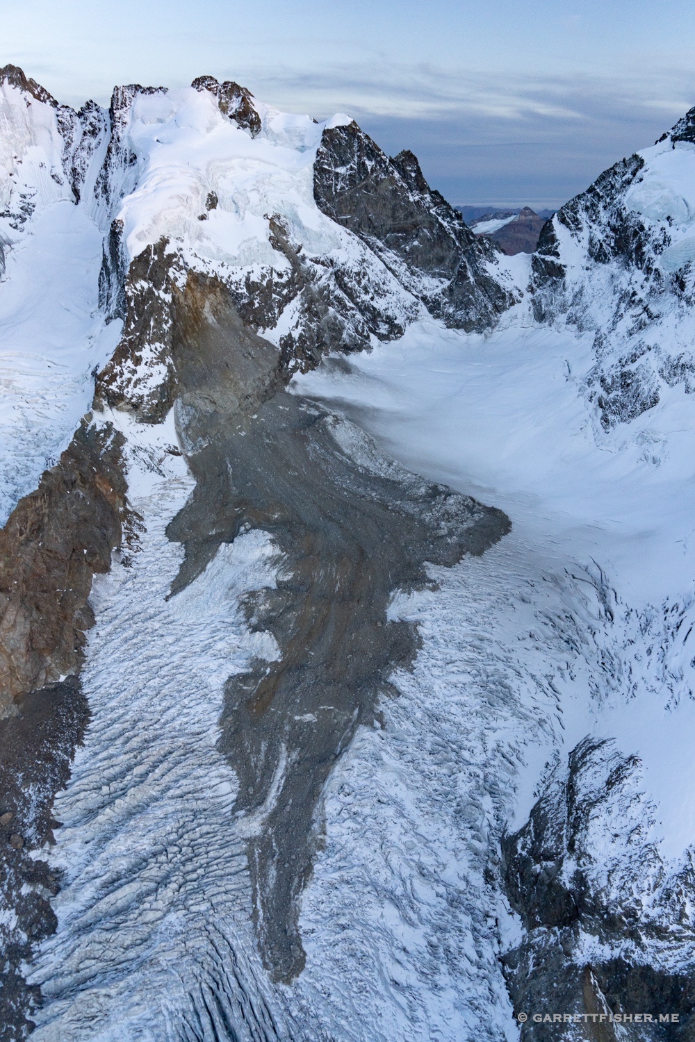
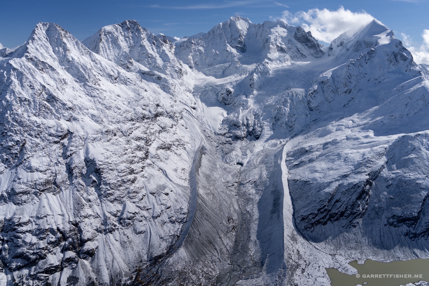
Sizable rockslide onto Tschiervagletscher. I checked my archive and this did not exist the year before.
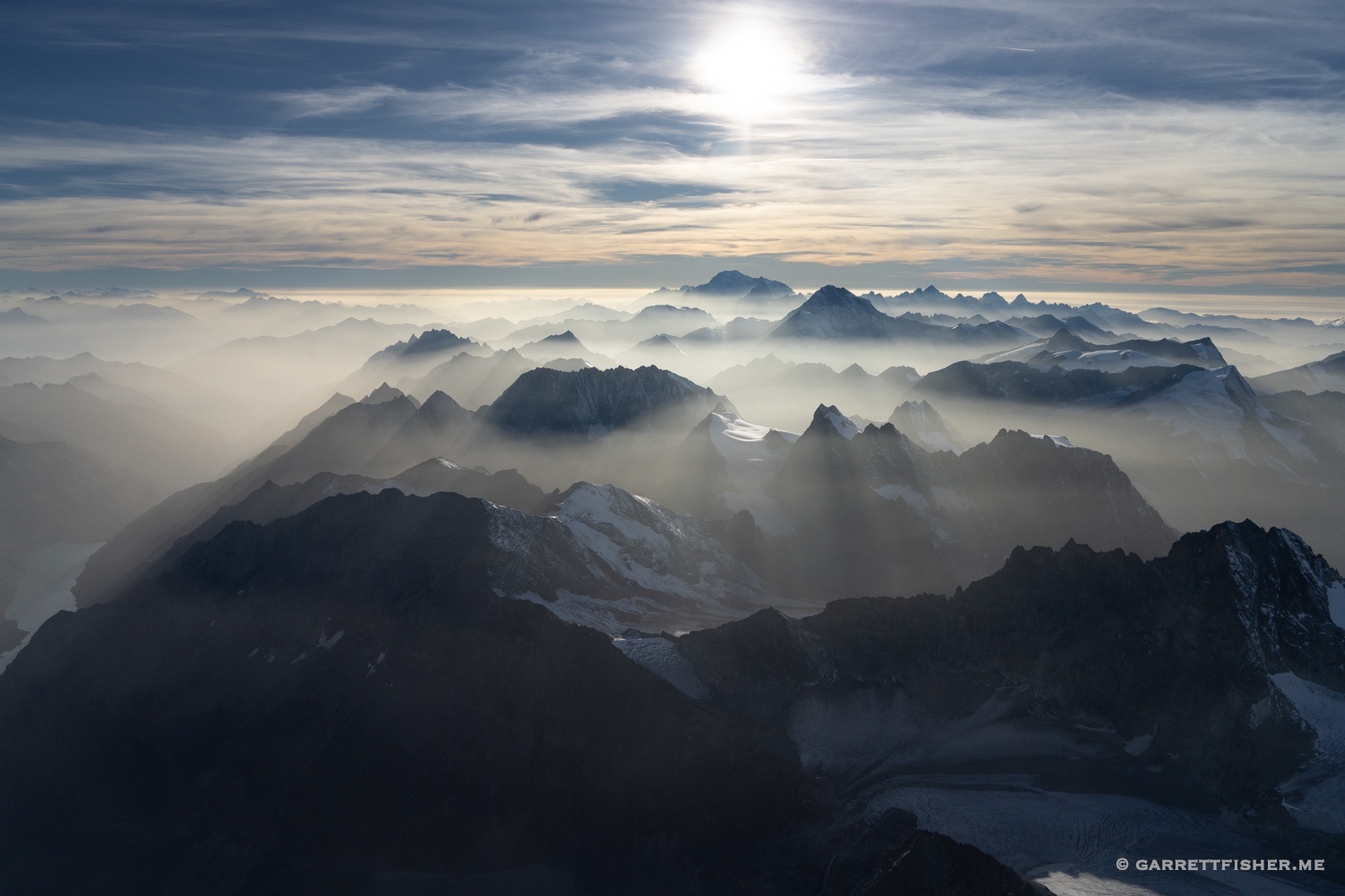
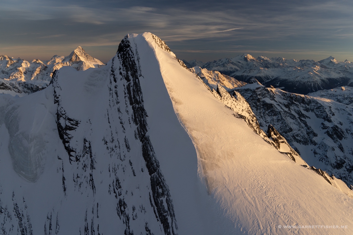
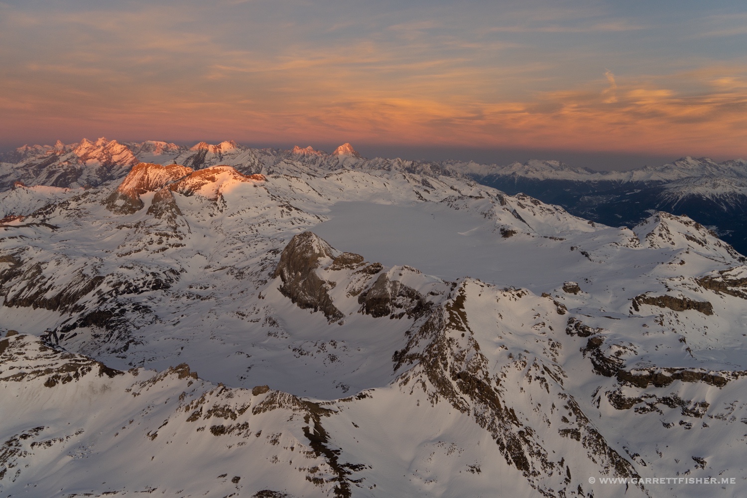
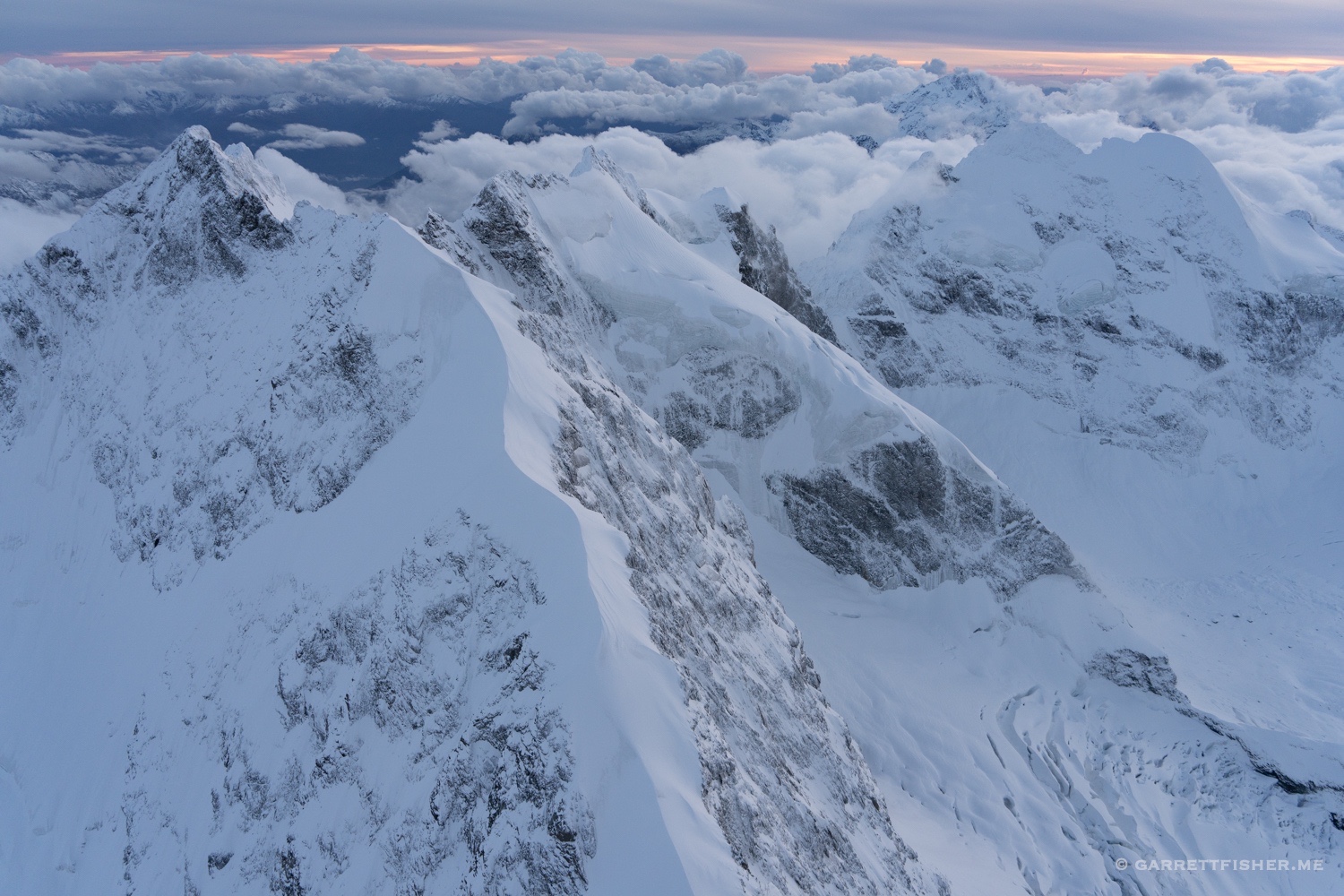
After sunset over Persgletcher.
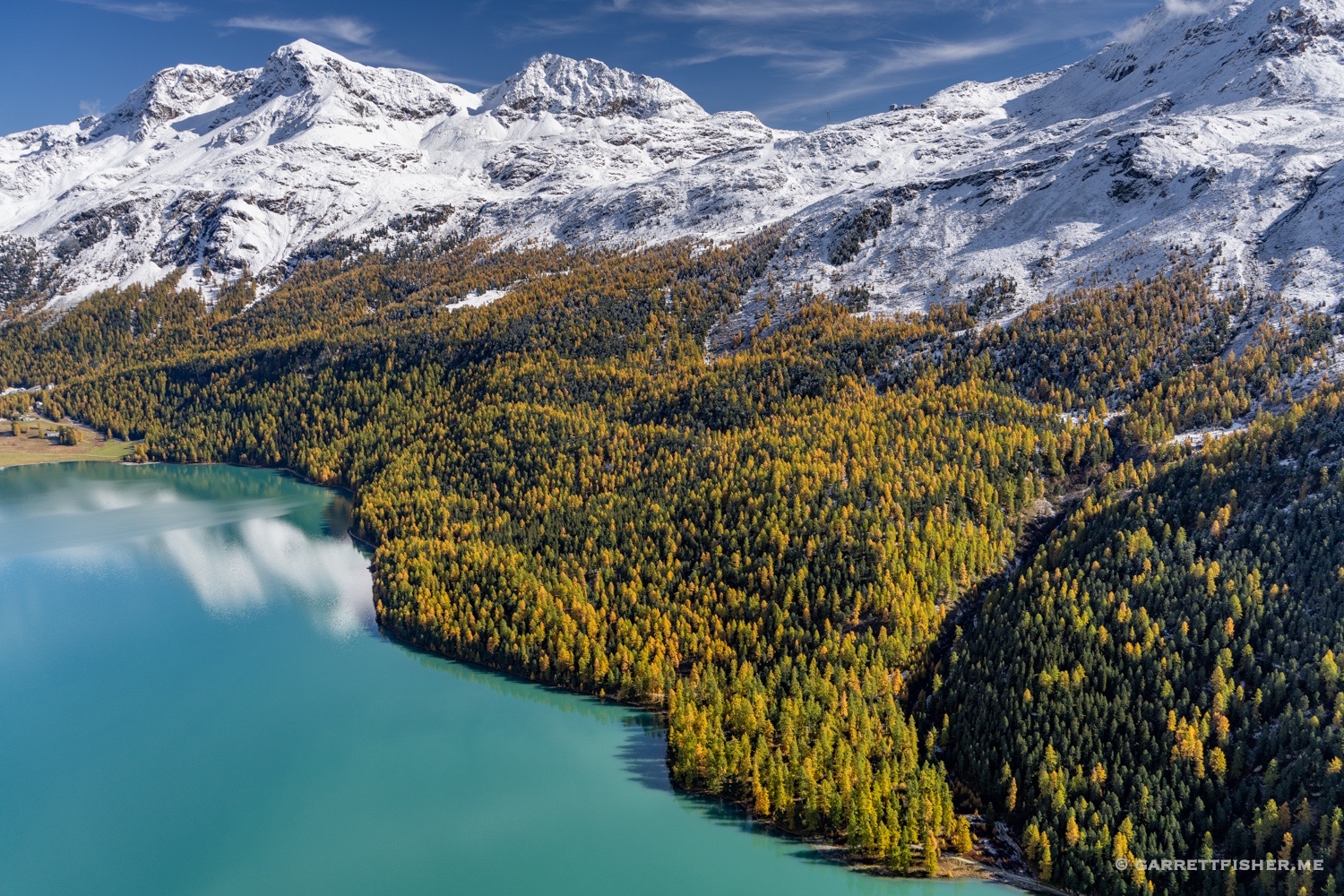
Snow! And some larch color in the Engadin. That is why I visited after all.
Tongue of Morteratschgletscher, where I hiked to (more to come).
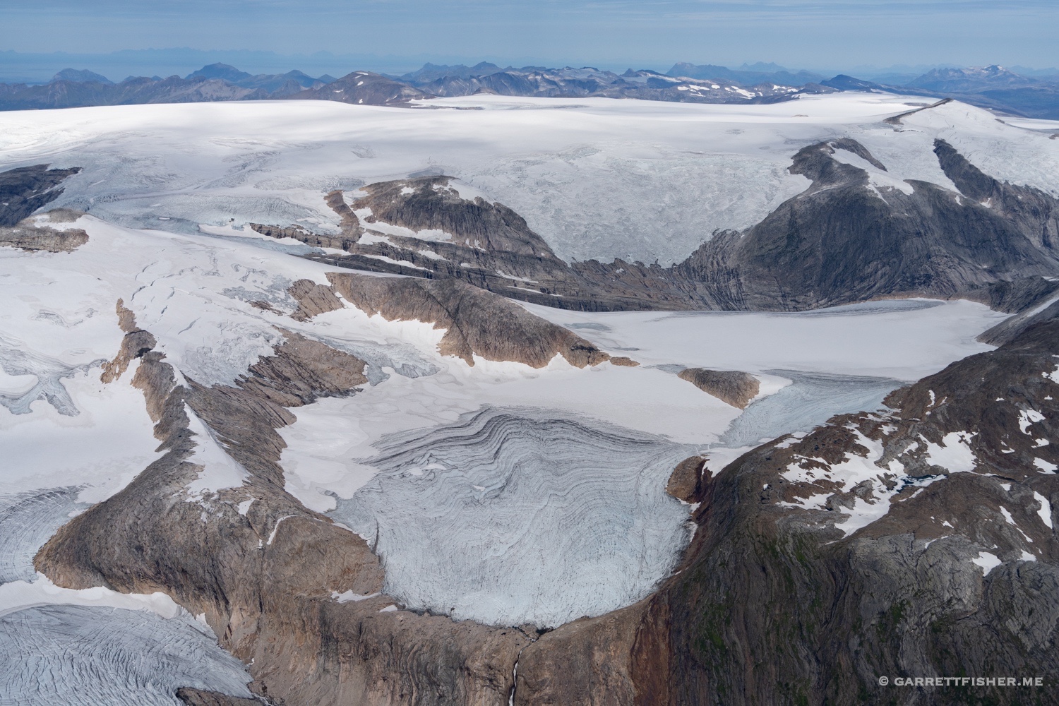
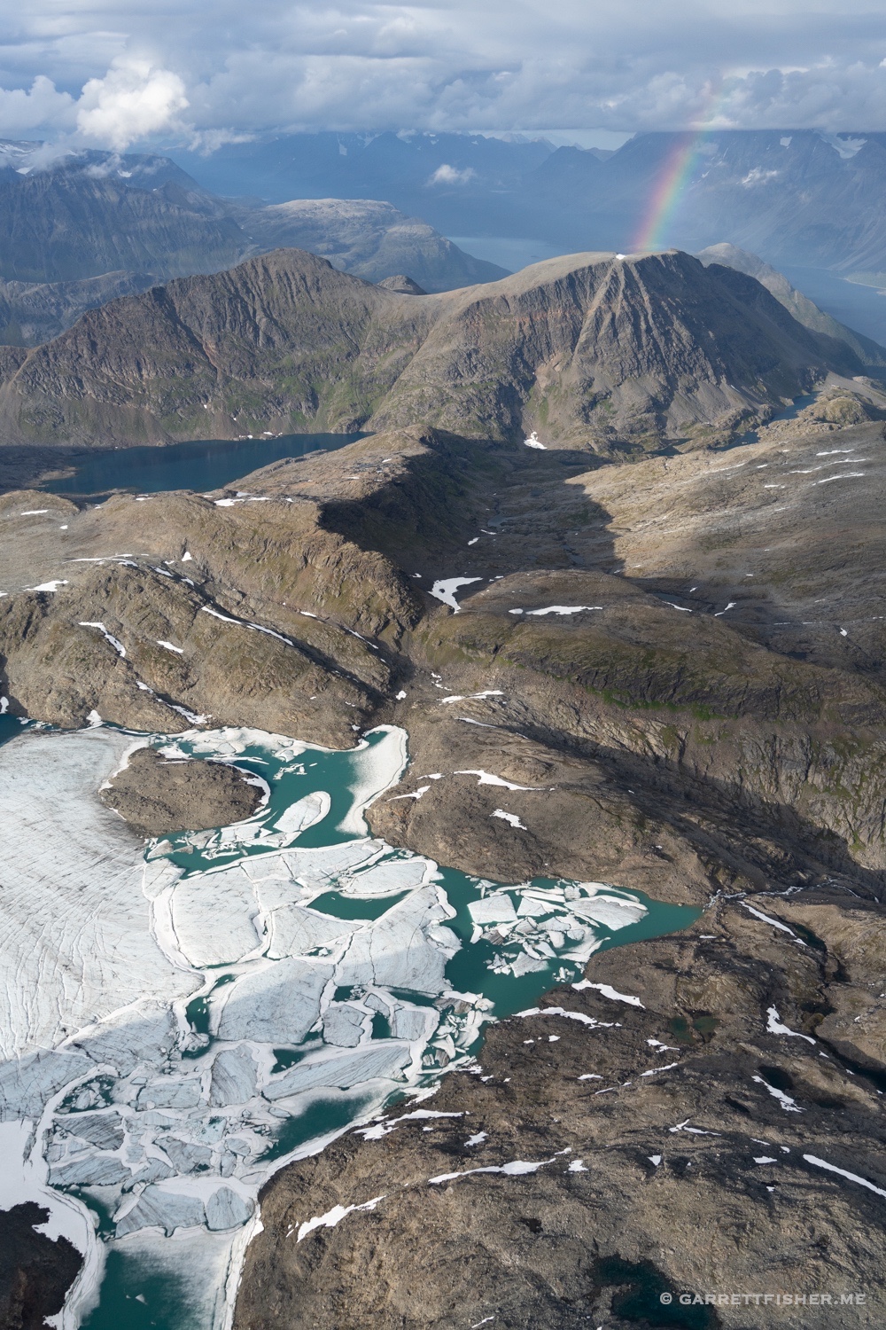
Tschiervagletscher.
A flight that evening….weather was not as cooperative. Larch below, snow up high.
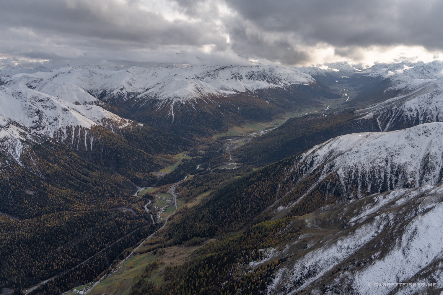
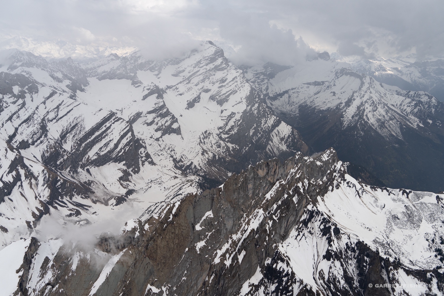
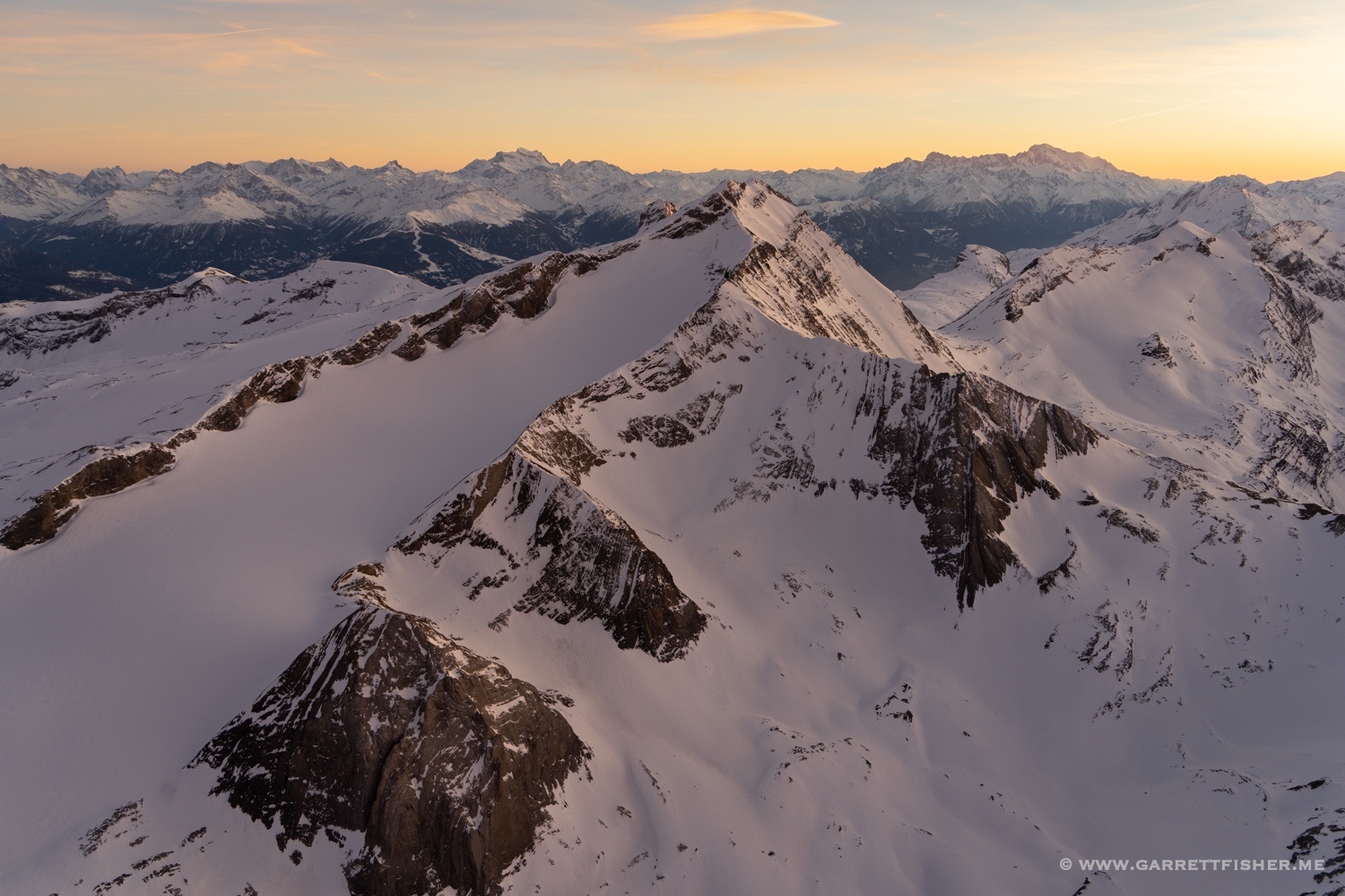
North of the Engadin.
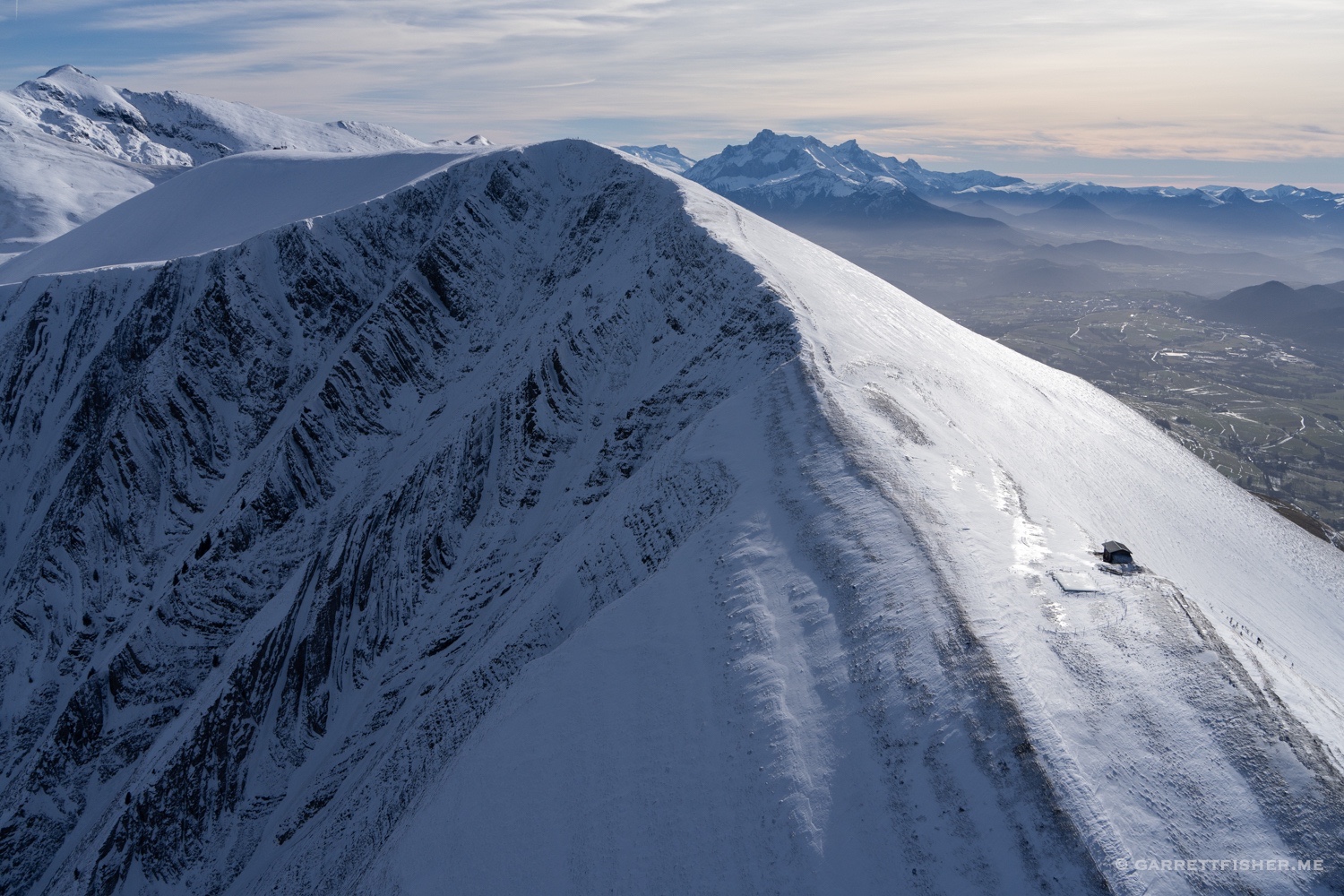
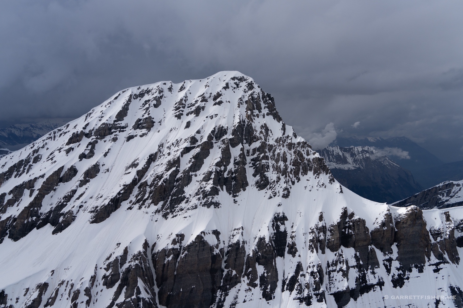
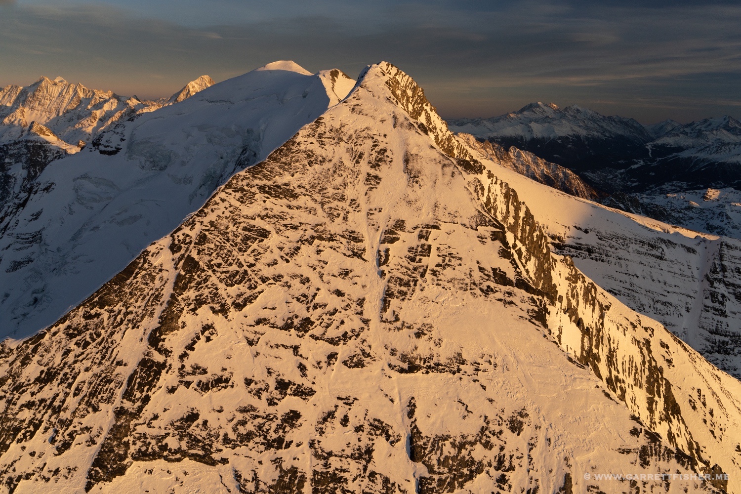
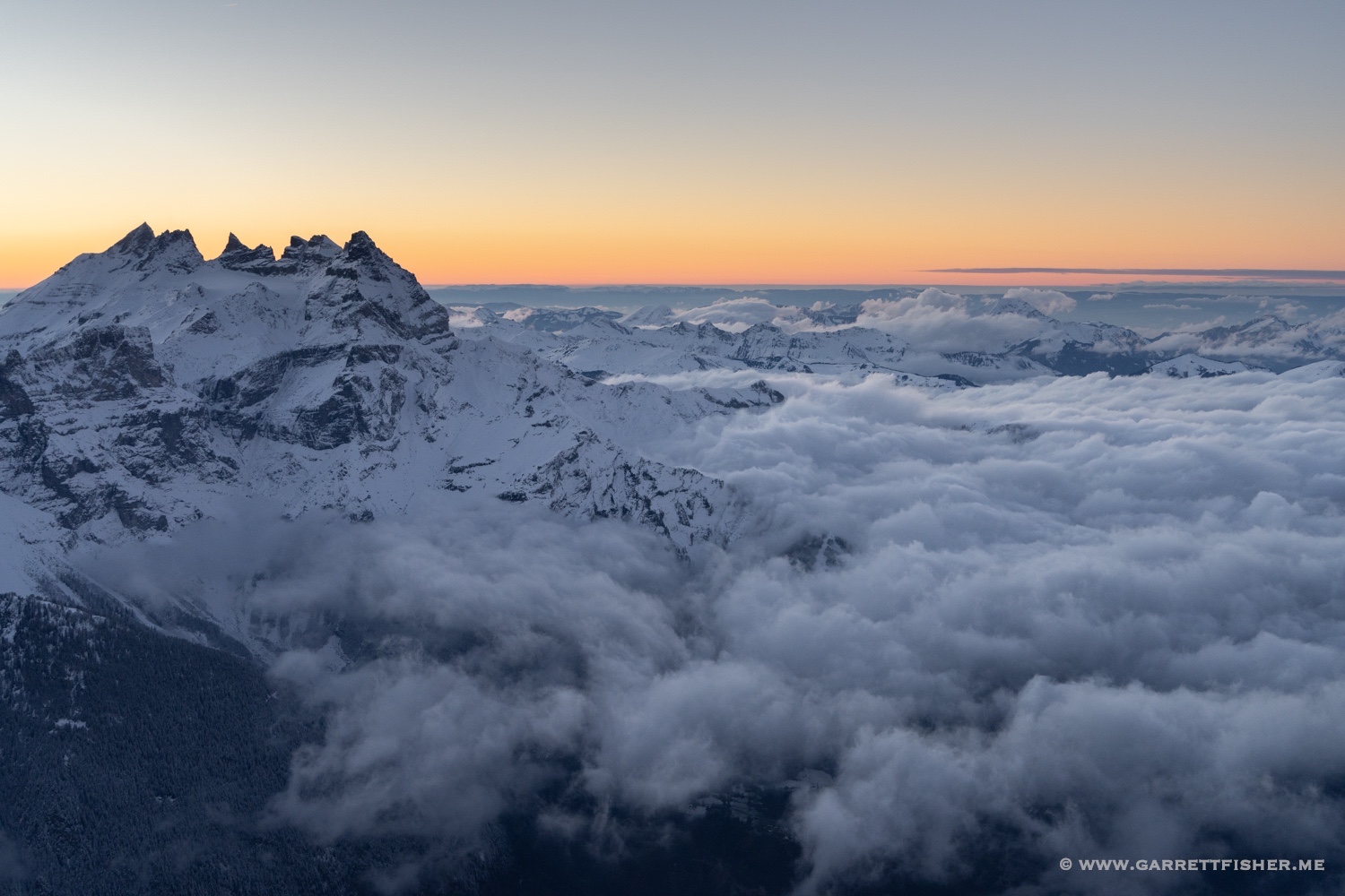
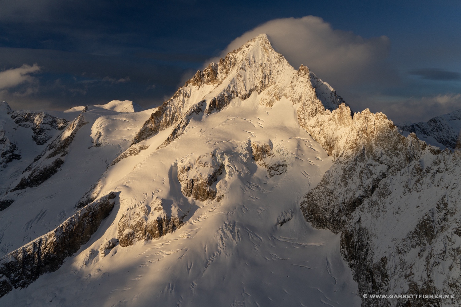
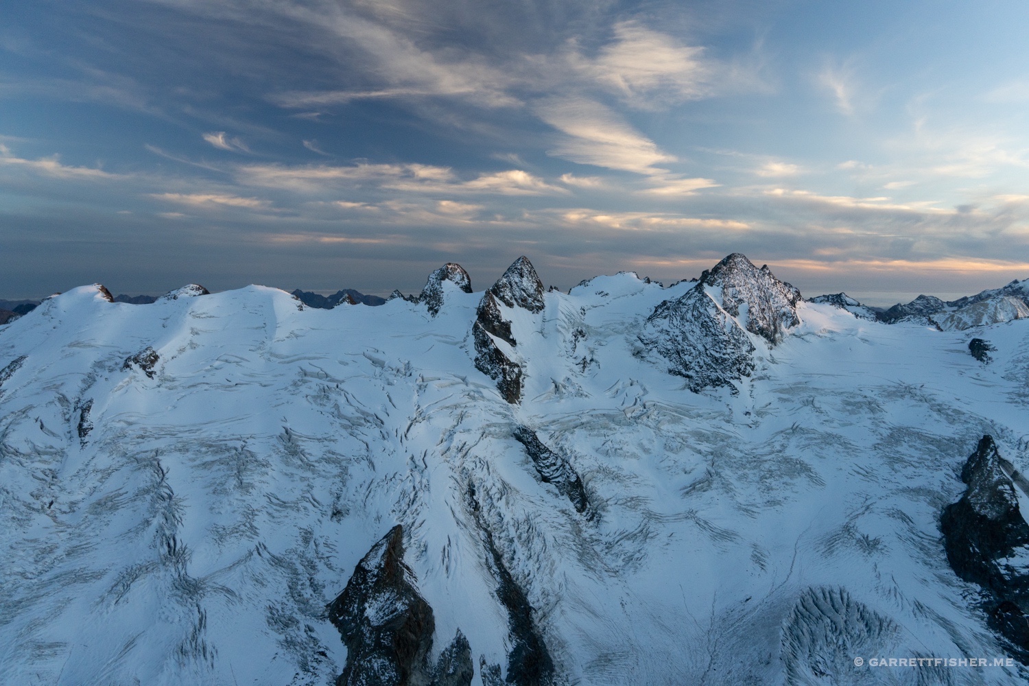
Piz Bernina at sunset.
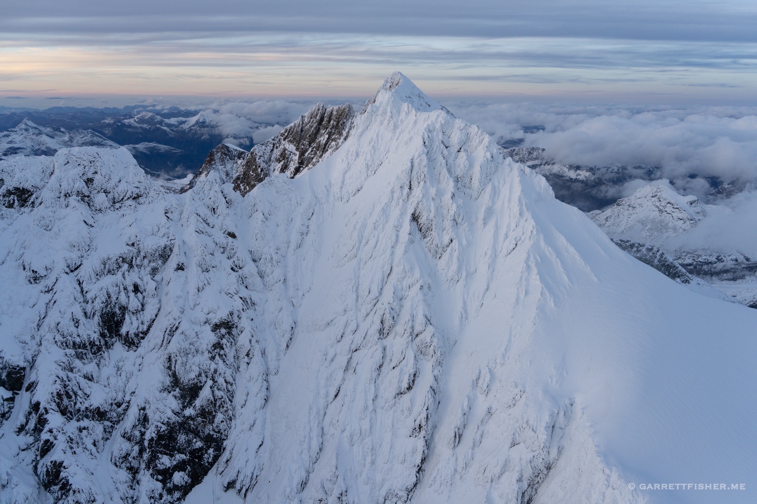
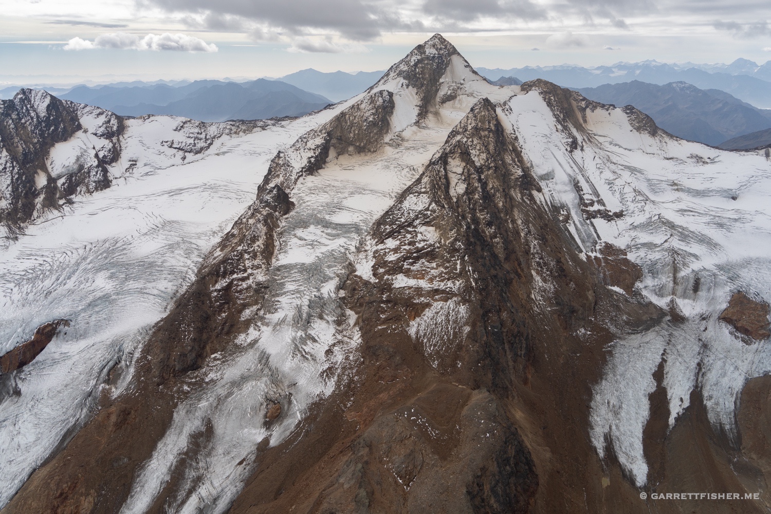
Biancograt and Piz Bernina, looking southwest.
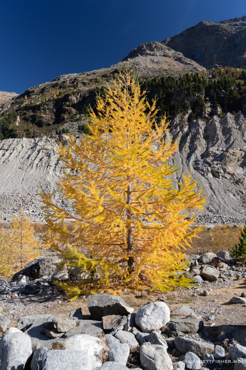
Larch tree on the hike to Morteratschgletscher.
Time lapse of Morteratschgletscher meltwater.
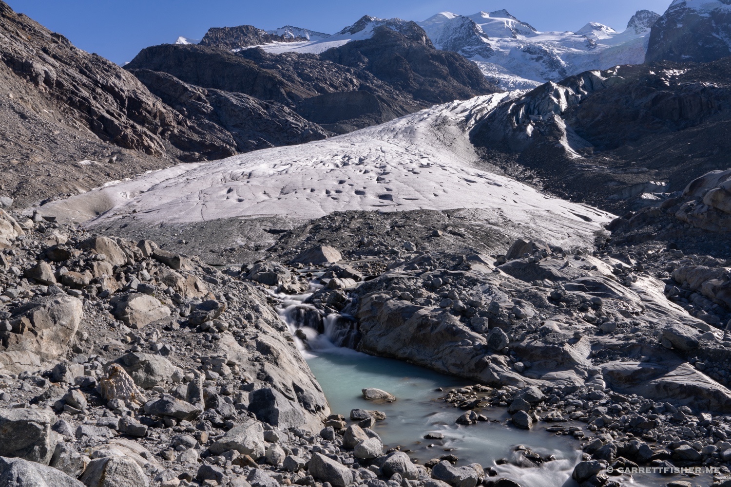
Morteratschgletscher. Note the people on the left. While the perspective from an airplane is more comprehensive, it helps to come near a glacier on the ground every now and then, to be reminded how big they are.
Long walk back to the car. I have a photo eerily similar to this near Midnight Mine Rd in Aspen, Colorado, except the trees in color were aspens there.
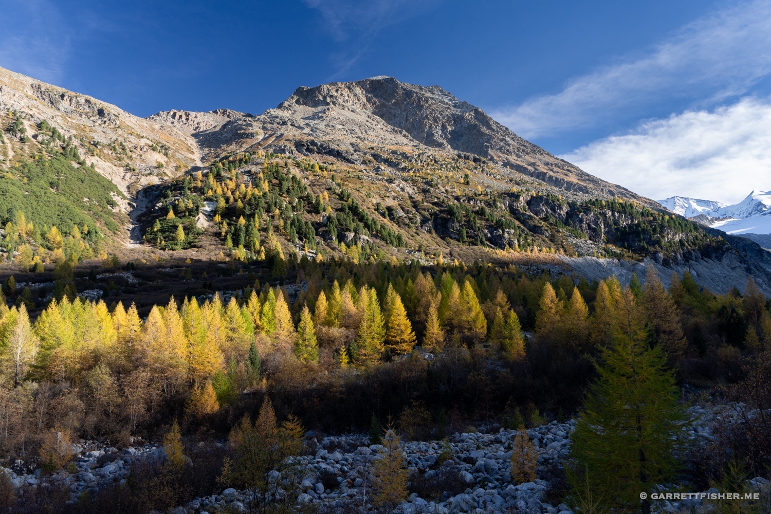
Morteratschgletscher, with larches. This view does not exist in Colorado!