Garrett Fisher

Author, Pilot, & Adventurer

Email subscription form header
Subscribe
Your email address:*
Please wait...
Please enter all required fields Click to hide
Correct invalid entries Click to hide
Powered by FeedBlitz
  • Writings
  • Documentary & Interview
  • Press
  • Economics
  • Maps
  • Flying Videos
  • TEDx Talk: Forget Economics
  • About Me

Powered by Genesis

Archives for March 2015

Flight: NC to Wyoming: Kentucky to Colorado

March 22, 2015 by Garrett

Weather is a very fickle thing when crossing the country; one can take nothing for granted. After getting up before sunrise, I discovered via my flight briefing that two weather systems did some odd things, and I was sandwiched in a window 100 miles wide of nice weather, with foulness to the north and south. When flying an old, slow airplane across the continent in the early spring, things eventually just boil down to statistical probability, and one must roll the dice and go.

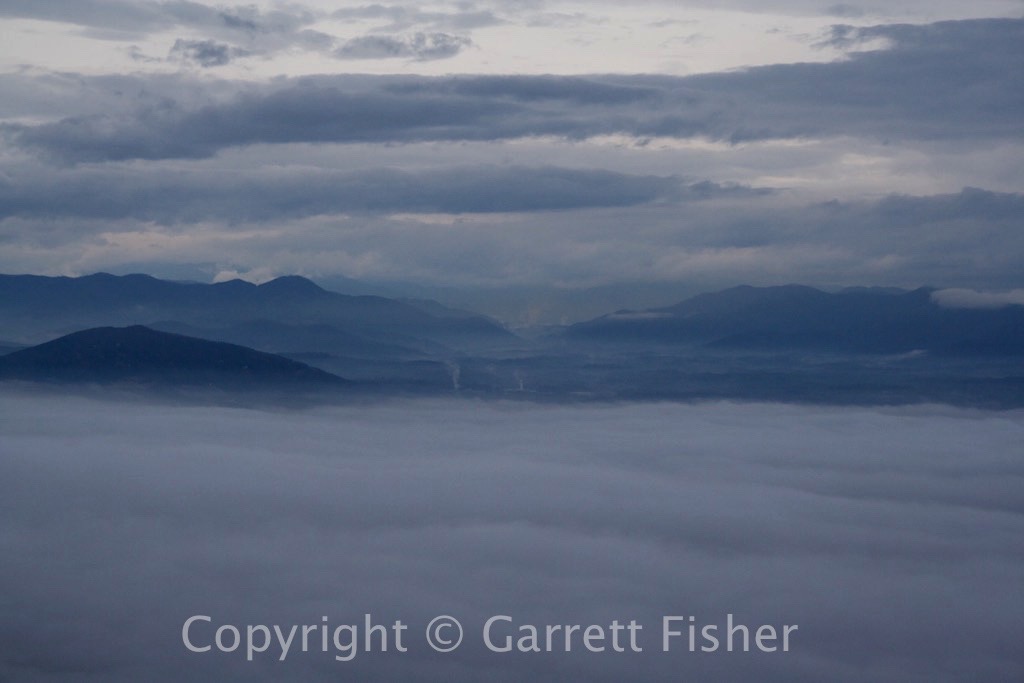
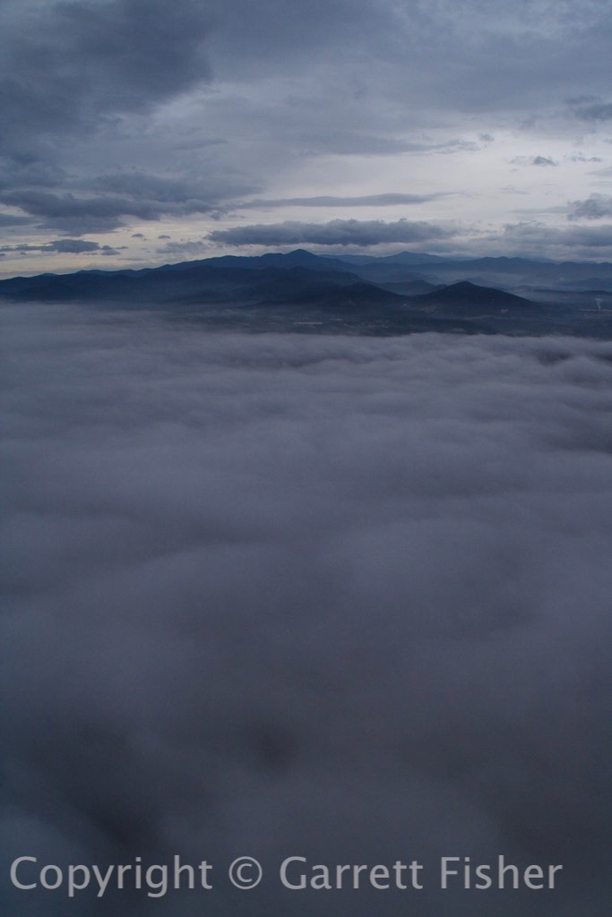
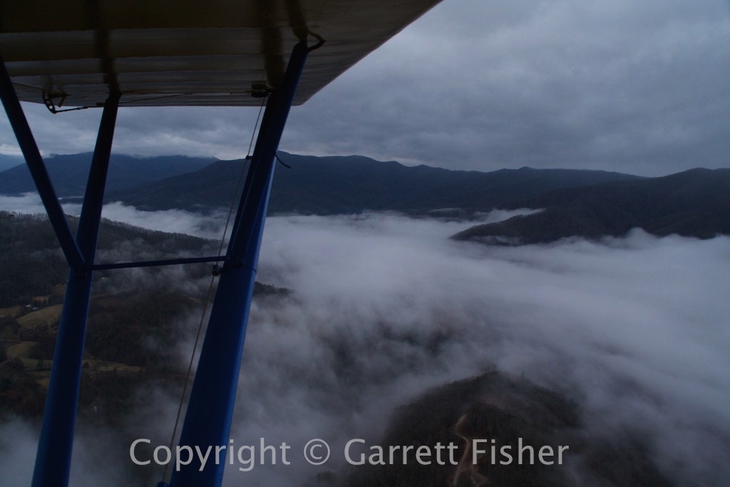
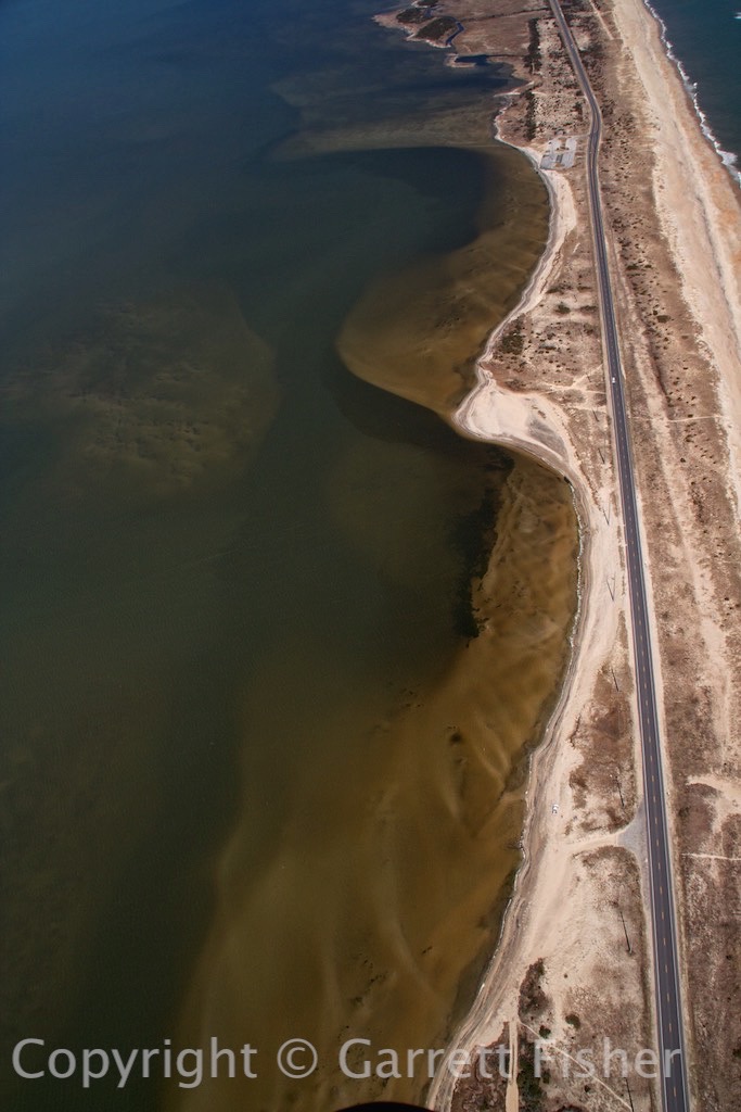
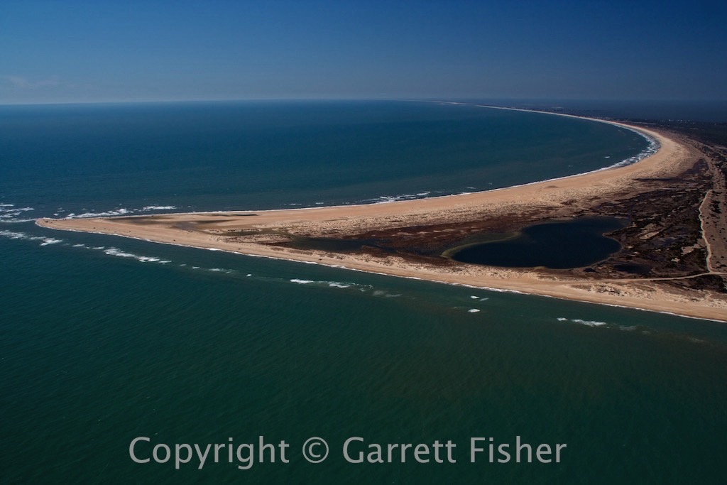
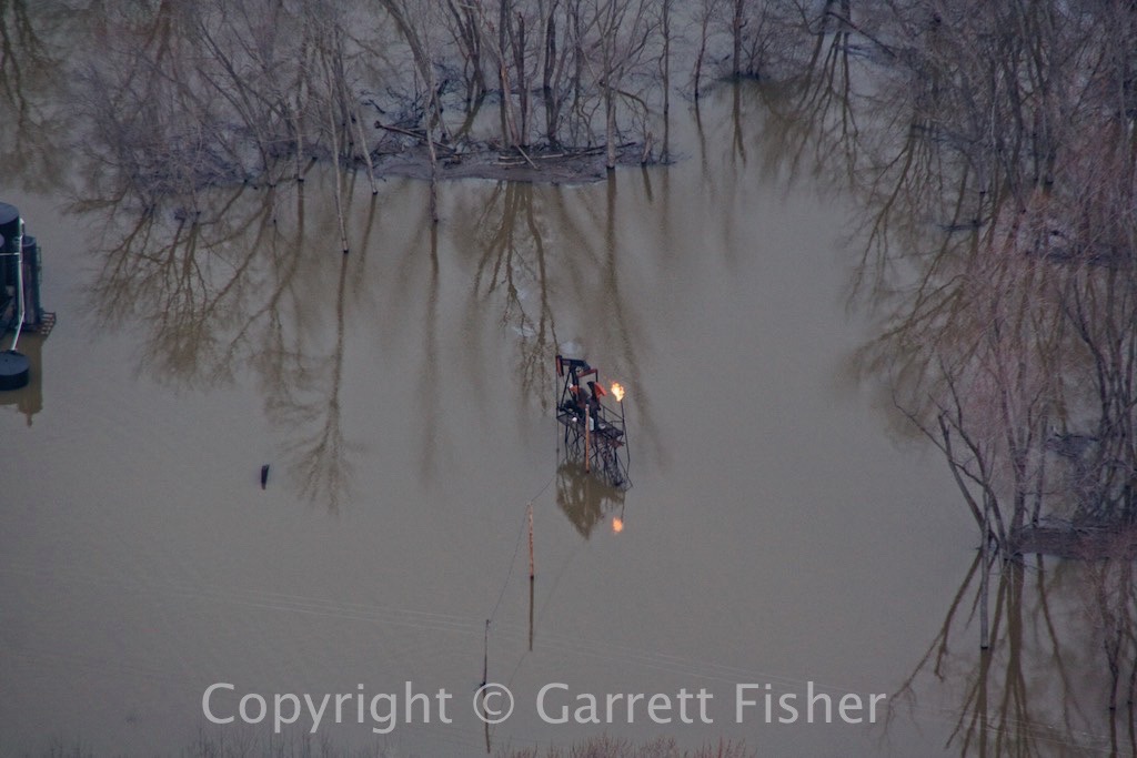
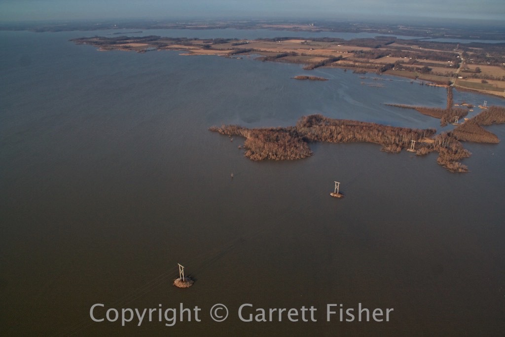
Takeoff showed me an amazing view of the Ohio River, flooded over significantly. I came across some oil wells with vent fires, and one which was leaking oil due to flood waters. It seems silly to me to allow oil wells to be built without elevating them in flood plains, thus manufacturing unnecessary environmental problems. Then again, most natural disasters are a product of our modern civilization refusing to implement proper engineering (stilts, tornado cellars, fireproof siding, hurricane straps, etc.) in zones where it is needed.

After passing the flooded wells, it was evident that I had a tailwind, a very strong tailwind. GPS was reporting groundspeeds of 115mph to 120mph, which translates into a 35-40mph tailwind. That is ironic, as I was flying at 1,000 feet, and the winds at the surface were about 10mph. Even more ironic was that the 40mph tailwind was blowing against the prevailing winds, coming out of the east and blowing west. I was not complaining.

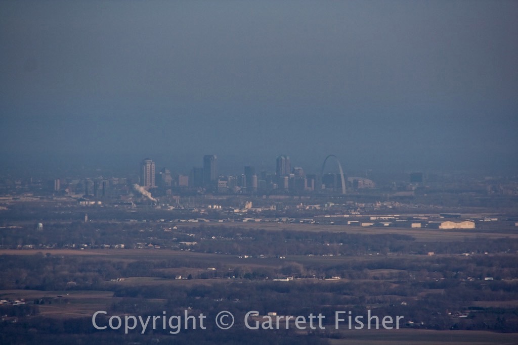
I made St. Louis in about an hour, and Kansas City in a total of three. That is correct, I was able to go from Evansville, IN to Kansas City, MO, in three hours, in a Piper Cub, using 15.5 gallons of gas. For every amazing tailwind, there is headwind to make up for it, something I learned later in the day, crawling at just over 60mph.

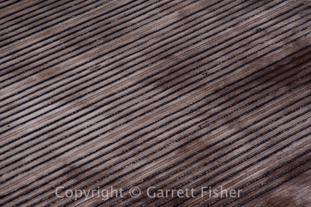
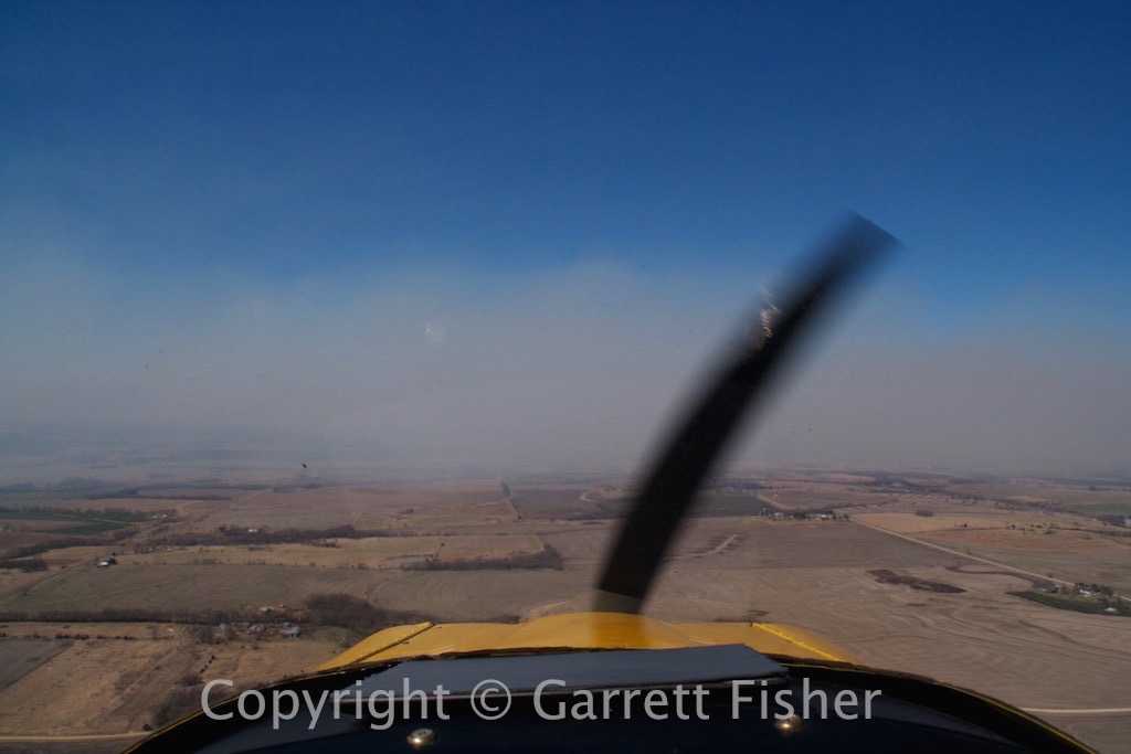
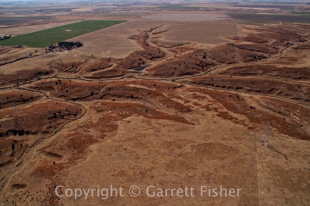
Flying through Kansas developed into a chore. The air was hazy, and I discovered why: Kansans burn their fields in March, and it was a post-apocalyptic annoyance with low visibility, haze, and smoke smell. Thankfully, I got past all of it, fueled up in Concordia, KS, and headed on.

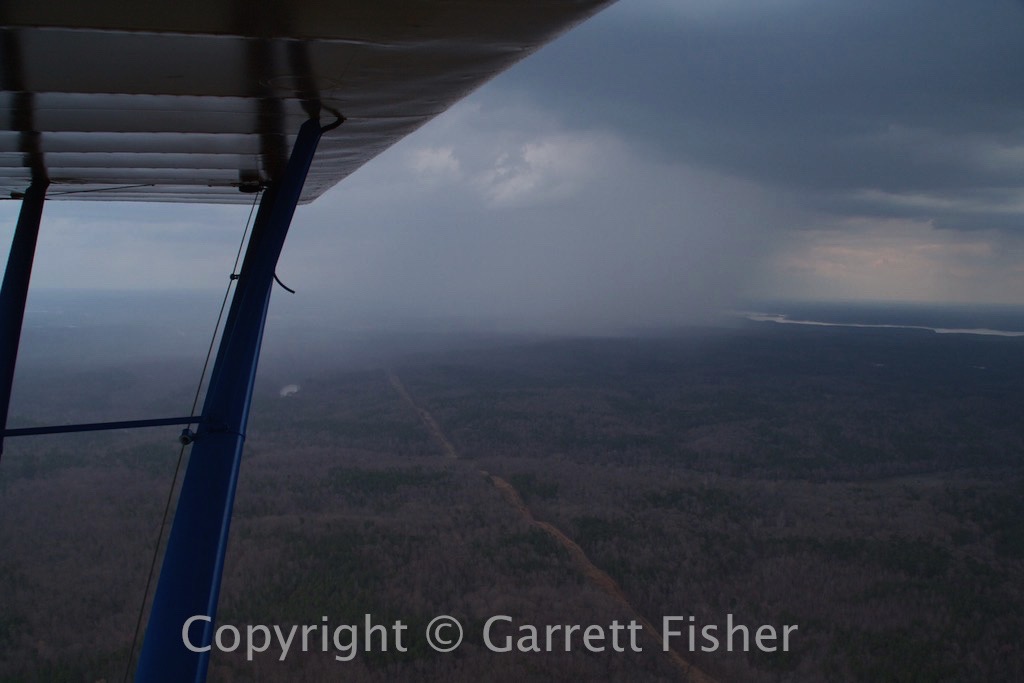
Tailwinds became light headwinds, and then I passed a few clouds, which constituted a dry front. Groundspeed went from 85mph to 63mph, with lots of bumps that would be sure to make most humans vomit. I personally do not puke, though I understand why people do.

I checked the winds in Imperial, NE, my intended refueling point, in Concordia, KS, and they were 15 gusting to 23, mainly down the runway. Certainly not a problem, as I pressed on, I got an update, and it was the same. The stop was not razor thin with fuel, as airports get farther apart in the western plains, so I had a buffer. It turns out, I needed it. Headwinds were merciless, and I limped in with a minimal amount of fuel. On final to land, the winds were 30 to 40 degrees crosswind, no longer down the runway, and blowing with a fury, such that I could not get the airplane lined up with the runway without getting blown off course. After a variety of attempts, I had to power up and go around to prevent the landing from going bad, the first time I have had to do that in years. A go around is more common with newer pilots, as it is a reset button of sorts, allowing one to return to the skies to try the whole thing again. In this case, it was an absolute necessity.

As I got some altitude, I saw that there was an unpublished grass strip crossing the paved runway. “Perfect,” I thought, as grass is more forgiving than pavement in crosswinds. On final, yet again, the airplane was cocked 40 degrees into the wind, and I knew it would be the same. With fuel getting very low, I had to get on the ground, though it was preferable to be in one piece. I noticed that the lawn in front of the airport office was spacious (though only 300 feet long), and the windsock was at the end, with the wind pointing perfectly down the lawn. “The hell with it,” I thought, turned toward the lawn, and landed there and came to a graceful and quick stop with the wind. That was a first. Checking the winds on landing, they were 25 gusting to 32, a nonstop “prairie wind,” which does not vacillate like wind in the East. It is an almost enraging non-stop wind, which doesn’t work well with crosswinds, as the gap between gusts is needed to landed. This explains everything.

At this point, I knew I could not make Laramie, WY. The winds were crazy and Laramie is high up as well, making all things worse. Checking the weather forecast for western Wyoming, the whole thing now got worse for tomorrow with snow and low ceilings, and I was just not in the mood to get most of the way there and sit in the desert stuck, 200 miles from an international airport to get home. Checking my calculations, Boulder, CO was a 2-hour flight, arriving just before sunset. I took off into the roaring wind, and headed SW for Colorado.

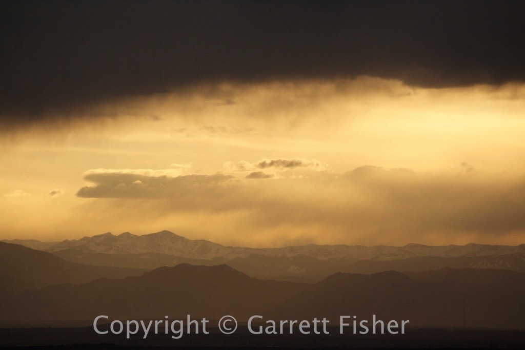
The flight into Colorado was pleasant. Headwinds turned to tailwinds, and bumps gave way to still air as the sun started nearing the horizon. Strong tailwinds gave way to lighter winds, and eventually dead still arriving at Boulder, 4 minutes before the sun went down. Two hours later, I was at my hotel near Denver International, and arrived back to the coast the next evening on a commercial flight. The plane will have to wait until we move out here, and I’ll come back and get it once we’re settled. At least she’s at the same airport I did my commercial training a year ago, in good hands. It’s amazing how I ended up back there, not thinking that was a possibility when I left Colorado last June.

Ohio River – Flooded – KY/IN/IL border

IMG_1056 (300 of 644)

Oil Well with Vent Fire, Leaking Oil into the Ohio River
IMG_1061 (305 of 644)

Reservoir in Illinois
IMG_1077 (321 of 644)

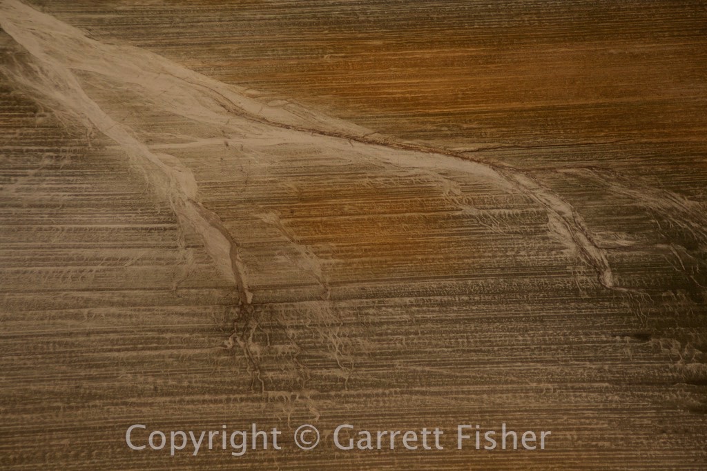
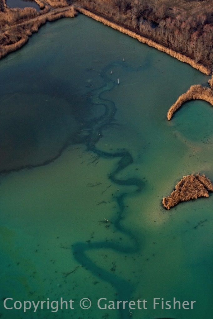
Some Sort of Tailings Pond in Illinois – Seems Mysterious
IMG_1078 (322 of 644)

St. Louis, MO with Gateway Arch
IMG_1087 (331 of 644)

Mississippi River – Illinois Foreground, Missouri Other Side
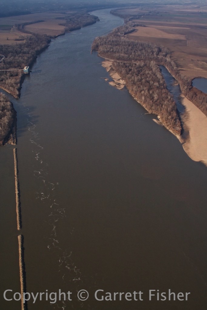
IMG_1096 (340 of 644)

Missouri River

IMG_1101 (345 of 644)

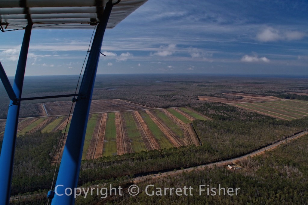
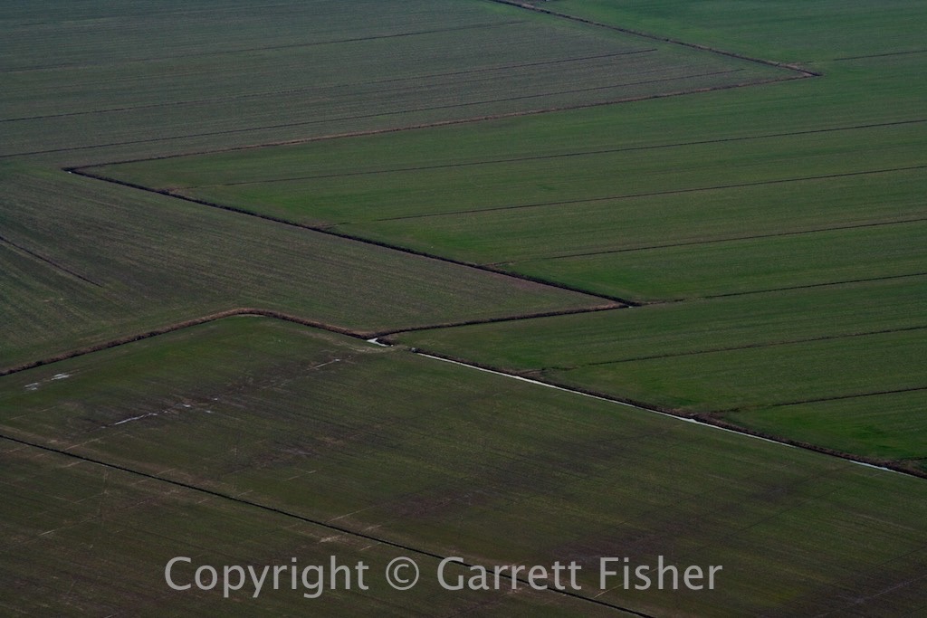
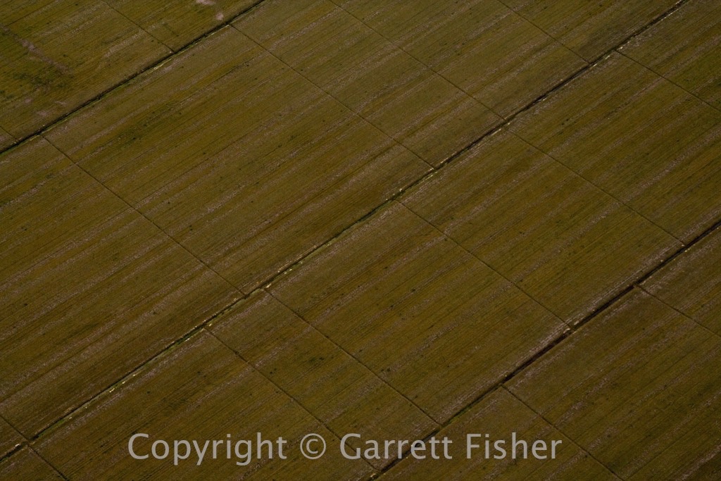
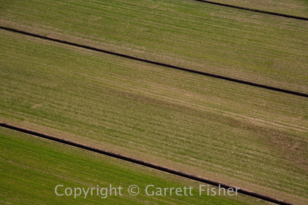
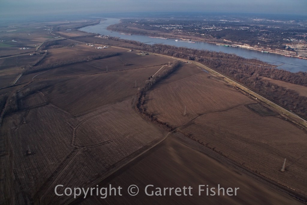
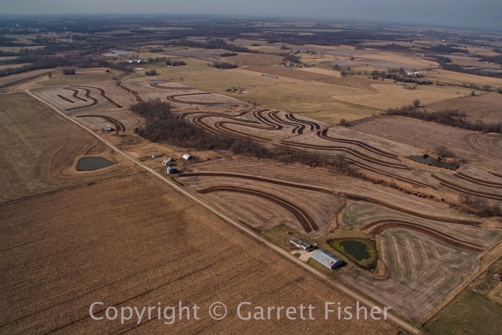
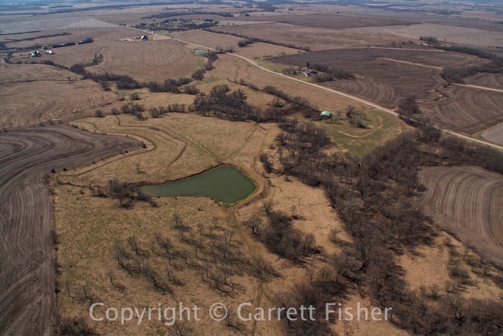
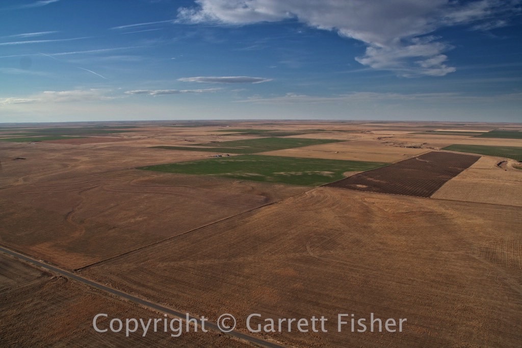
Central Missouri – Notice Farm Field Patterns
IMG_1171 (415 of 644)

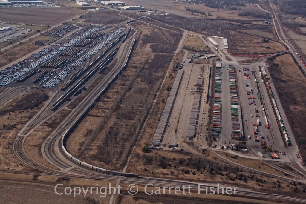
Kansas City, MO Railyards 
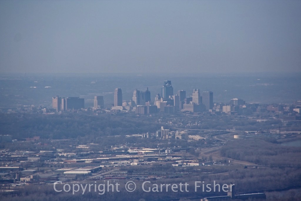
IMG_1179 (423 of 644)

Kansas City, MO
IMG_1182 (426 of 644)

This is what Kansas looks like
IMG_1195 (439 of 644)

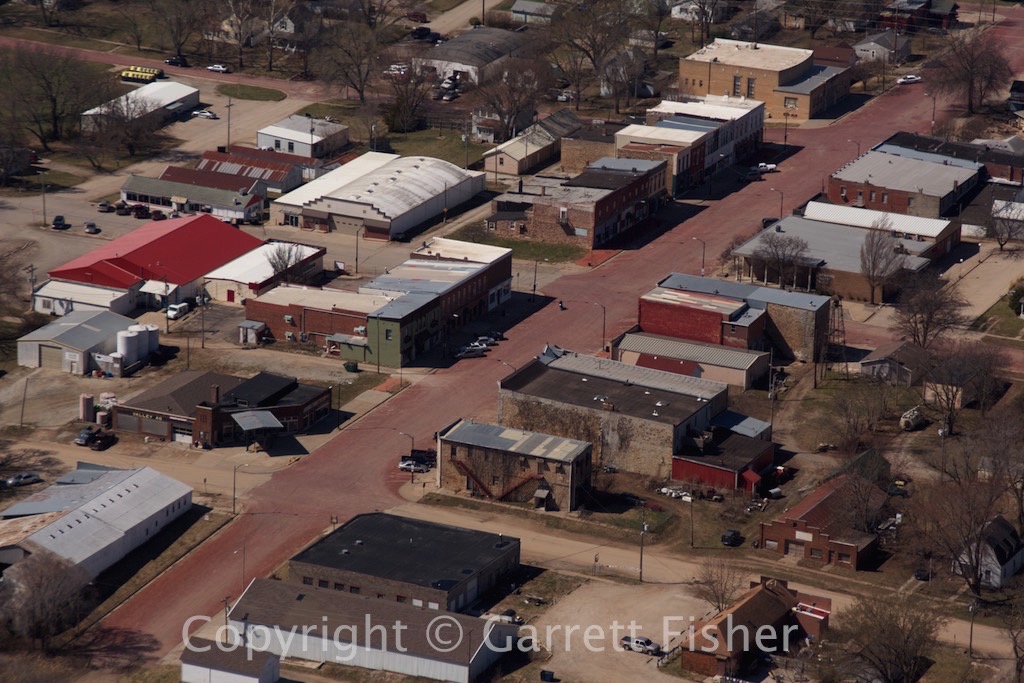
 It appears that the streets of this town are paved in blood.

IMG_1203 (447 of 644)

Post-apocalyptic smoke in central Kansas from intentional field burning.
IMG_1204 (448 of 644)

Kansas’ “scorched earth policy” – burnt field.
IMG_1209 (453 of 644)

Gehenna….I mean……Kansas…..
IMG_1215 (459 of 644)

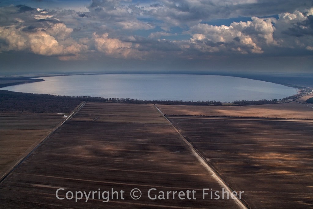
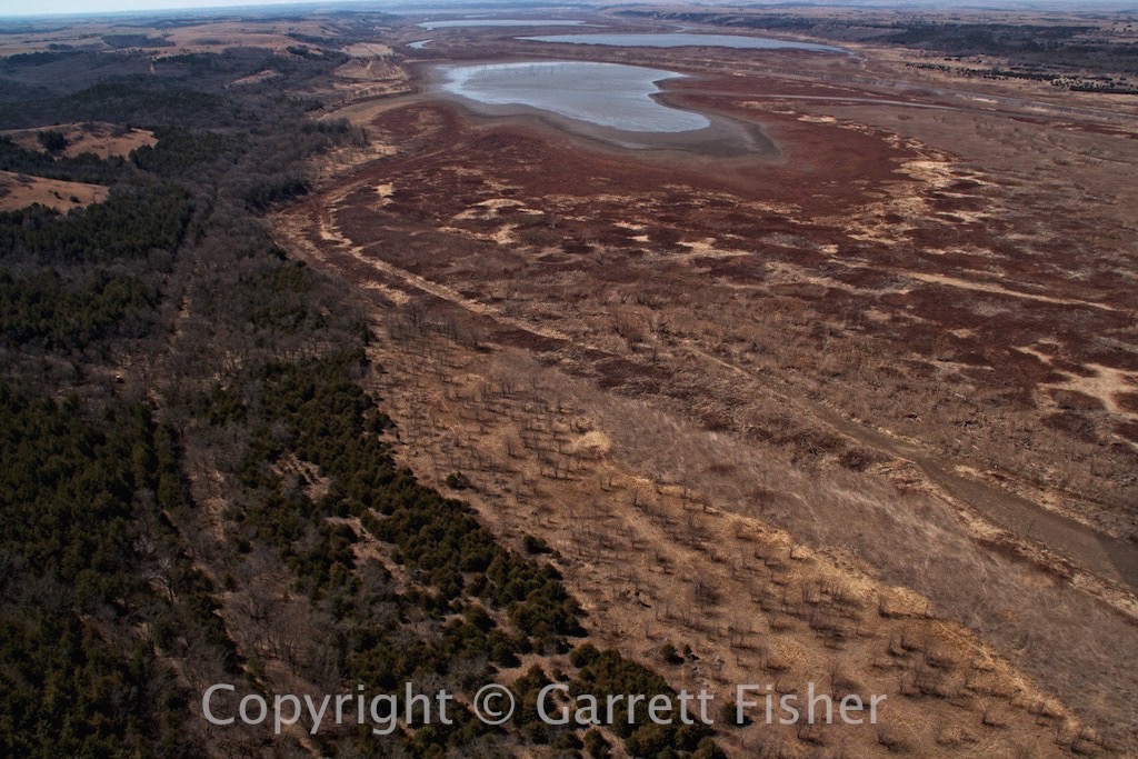
Not so full reservoir – central KS.
IMG_1234 (478 of 644)

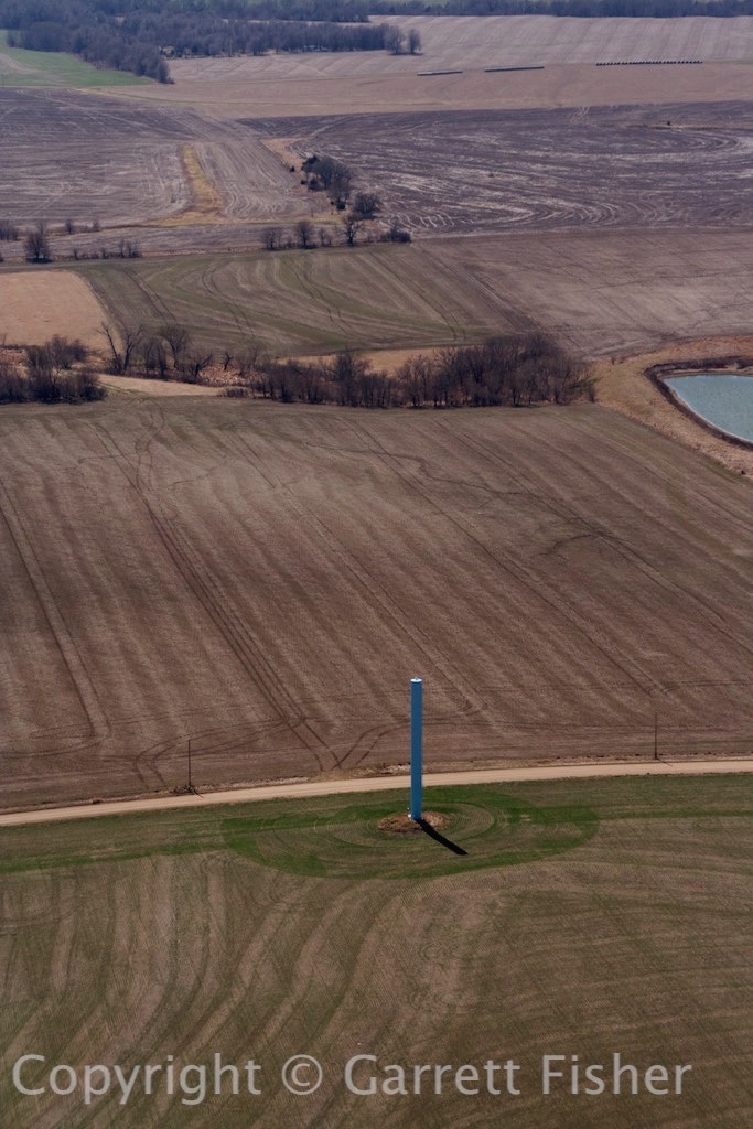
An all-too-common phallic structure.
IMG_1252 (496 of 644)

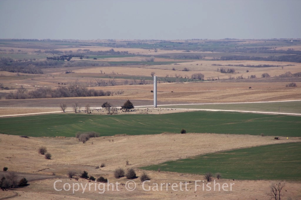
Another “random” phallus.

IMG_1263 (507 of 644)

Kansas on the left, Nebraska on the right.
IMG_1274 (518 of 644)

Dry front – winds got rough here.
IMG_1281 (525 of 644)

Dust devil with cow concentration camp in the background.
IMG_1288 (532 of 644)

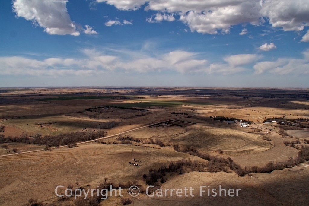
This is what western Nebraska looks like.

IMG_1305 (549 of 644)

This is what eastern Colorado looks like. Ground elevation over 4,000′.
IMG_1329 (573 of 644)

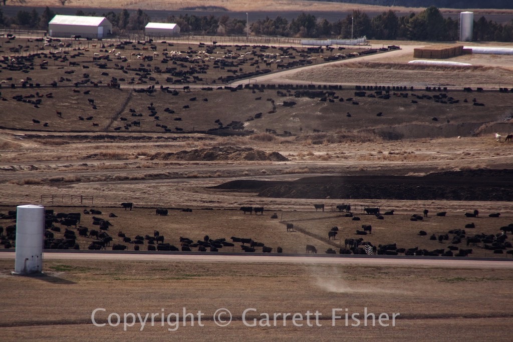
Cow gulag – Ft. Morgan, CO
IMG_1345 (589 of 644)

Rockies sunset
IMG_1365 (609 of 644)

Denver, CO
IMG_1383 (627 of 644)

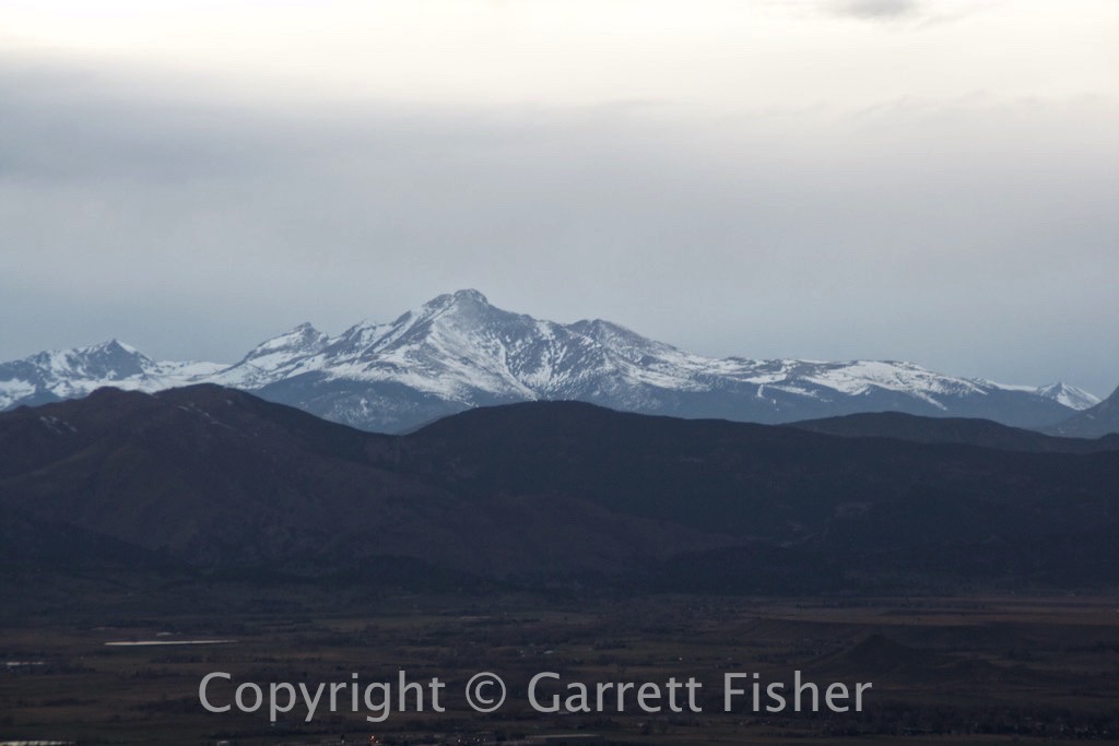
Longs Peak, Rocky Mountain National Park. The last time I flew around that peak, 200 feet of it was sticking above the clouds.
IMG_1396 (640 of 644)

Filed Under: Uncategorized

Flight: NC to Wyoming: Atlantic Ocean to Kentucky

March 21, 2015 by garrett

So, the time finally came to make a 2,000 mile flight west, from the Atlantic Ocean in North Carolina all the way to Wyoming, on the Idaho border. We’re officially moving to the least populated state in the country, and we cannot wait, especially as we’ll be living on an airpark. As of the beginning of the flight, the plan was actually to leave the airplane at a small airport near the closest international airport: Salt Lake City, and come and get it after we moved out.

The forecast, as usual, called for sunny skies. The reality, as usual, was quite different. Coastal stations were reporting marginal conditions with lifting morning fog, and the Piedmont of NC and VA was reporting “zero zero” conditions, pure thick ground fog, bad enough that it would ground even some instrument flights. According to the forecasts, the whole thing would lift by noon, hosing up my brilliant plan for a three-day flight. Alas, it was the weekend, and it was still smart work-wise to fly as much as I could on the weekend so as to get something done during the week when it was all said and done.

I took off at 9:45 from Manteo, NC, under the expectation that I would fly 2 hours west under the low cloud deck, and then refuel/wait it out/go through if it was ok. The observations refreshed on my iPad, and the stationary front over the Piedmont was as thick as ever, ceilings at 300 feet, visibility 1.25 to 3 miles, with pilot reports indicating the fog topped out at 1,200 feet. If it kept up, I would go over the top, as the foothills of NC and VA were reporting sun. However, I needed fuel, so that I would not run out while flying over fog.

I landed at Halifax, NC fueled up, and pressed on. The cloud deck was 1100’ above the ground, and I was wondering how the fog would materialize, as it did not look evident anywhere ahead. I passed a mysterious line from the coastal plain to the Piedmont, where visibility improved dramatically (this line is almost always there – snap your fingers and visibility goes from 15 miles to 40 as coastal moisture gives way to Chinook winds off the Appalachians). Approaching the site of the mysterious ground fog, and the sun was out. It burned off before I got there.

Approaching the Blue Ridge Escarpment, thermals were quite active, and winds were quite gusty, making the trip fatiguing as I got knocked around. The ascent to the Virginia highlands was coincidentally over the Dan River “canyon” (I don’t think it is named that), a mysteriously steep canyon that is not part of a park, and best viewed from the air. It makes it into my upcoming book, “Flying the Blue Ridge Parkway,” as it is very close to the BRP, yet not visible from it.

Fuel was at Mountain Empire, VA airport, followed by heading into VA and KY coal country, straight out of John Grisham’s novel “Gray Mountain.” Strip mining is not a pretty sight, though I can’t say that said section of Appalachia was pretty to begin with. The KY coal fields were quite awful, though it did finally give way to central KY, which is more picturesque. I was able to make Henderson, KY (near where Illinois, Indiana, and Kentucky meet, on the Ohio River) for the night, quite a surprise given the headwinds and late start. The folks at Don Davis Aviation were incredible: courtesy van, discount rate at the hotel, all around concierge service and very friendly people, which is a really nice combo at tiny airports.

Croatan Sound

 1-Croatan Sound
US 64 through Swamplands
2-US 64
Alligator River

3-Alligator River
Albemarle Sound


4-Albemarle Sound
Roanoke River
5-Roanoke River
Some Lake
6-Some Lake
Another Lake
7-Another Lake
Dan River
8-Dan River
Ascending the Blue Ridge
9-Ascending Blue Ridge
Dan River Canyon
10-Damn Canyon
Virginia Highlands
11-VA Highlands
Appalachia
12-Appalachia
More Appalachia – SW Virginia
13-Appalachia
Almost makes Appalachia appealing
14-Appalachia-actually appealing
Strip Mining – SW VA
15-Strip mining
Virginia on the left, Kentucky on the right
16-VA-KY
Almost Illuminated Mine Runoff – Environmental Delight – Looks like the Bahamas
17-Illuminated Sludge
Strip Mining – At least they left some trees in the middle
18-Strip Mining
Eerily illuminated lake – Kentucky
19-Eery Color
This is what central KY looks like
20-Central Kentucky
Caves – notice the train tunnel to the bottom left
21-Caves
Redneck hut – lots of these in Appalachia and KY. I think they have something to do with hunting
22-Redneck hut

Filed Under: Uncategorized

Flight: Charlotte to TN to OBX

March 11, 2015 by garrett

I had not previously mentioned the fact that we are moving to an extremely remote place in western Wyoming in early April. Our original plan in coming to the Outer Banks was only to be here for 4 months or so, as the season picks up in April (read: it gets expensive). Thus, we had to go somewhere. One thing led to another, and our next place is going to be quite the adventure. At the last minute prior to the trip to Charlotte, I packed my bags to be able to make the flight out to Wyoming if the weather held when it was time to leave a few days later.

It was sketchy, though the forecasts said it would be doable. It was clear sunshine from the Mississippi River all the way to Alpine, WY, with some low clouds and rain showers that should have been passable over the Tennessee Valley. All forecasts greatly improved the night before, and a verification on Wednesday morning held that things really were going to be better.

Getting up at 5AM, arriving at the Rock Hill airport at 6:30AM, I got the plane ready and looked forward to a 22.6 hour flight, two and a half days, across two thirds of the country. Heading over the Blue Ridge Parkway east of Hendersonville, NC, I saw that Asheville was fogged in with ground fog, though it was clear above. Airports were reporting marginal visibilities and ceilings, and the 6,000’ summits were clear in NC. I was convinced it would work.

Wedging along I-40, getting ever so much closer to the TN border, ground fog persisted, and cloud bases were lowering. I wedged down the tight mountain opening over the highway, through a rain shower, relying on Class G reduced visibility limitations, until I got to the other side of the NC mountains, only to find a wall of clouds and ground fog. Turning around, I went back through the rain, over to Hendersonville, NC for fuel, and regrouped. I must say, it was not a pleasant part of the flight. All visibilities improved in the TN valley as reported by weather stations, though I checked north of Asheville again, and the barrier was moving in: zero visibility, ground to sky, end of story, with no other option anywhere. If I didn’t get somewhere today, I would be stuck for 3 days due to a sizable rainstorm coming all over the South, so back to the coast it was.

Tailwinds were 20mph, a delight, and I got to Raleigh on one tank. The airplane was giving me trouble starting after refueling (it has no starter, so fatigue sets in cranking it one at a time). These engines are fickle when hot, they always want something other than what they are getting: more throttle, more primer, no less throttle, no primer, worse than a whining toddler. Finally we got started, and rain showers were brewing. Racing ahead of them, I got out to the eastern coastal plain, and flew south of US 64, over some fertile farmland that has no trees, is flat as a pancake, and nobody lives there. Few know about the scenery; it befits Iowa more so than NC. I think a scenic highway should be built, as it also reminds me of the Guayas Province in Ecuador, a flat, fertile, far-as-the-eye-can-see kind of place in the tropics, something of an intrigue to be so remote, yet be able to see so far.

Alas, I shall cross the country one of these days, when my rear end is looking to take the shape of an airplane seat.

IMG_0526 (10 of 219)
Ascending the Blue Ridge Escarpment
IMG_0548 (32 of 219)
Southern Asheville, with Mt. Pisgah in Background
IMG_0553 (37 of 219)
Asheville, NC is hiding under there
IMG_0569 (53 of 219)
Overlooking Asheville down I-40 Corridor toward Waynesville, NC
IMG_0592 (76 of 219)
Asheville hiding under the fog, with Great Balsam Mountains in Background
IMG_0611 (95 of 219)
Not working so well, I-40 heading toward Tennessee
IMG_0613 (97 of 219)
Uh-oh, Clouds above and fog below getting closer
IMG_0600 (84 of 219)
A phallus, there is always a phallus – Waynesville, NC after turning around
IMG_0622 (106 of 219)
Thunderstorm developed quickly, SW of Raleigh, NC
IMG_0642 (126 of 219)
Raleigh, NC (state capitol) – Notice the broad and spacious highways without traffic, and then look at eternally traffic-jammed Charlotte and ask yourself what the hell is wrong with politics in North Carolina?
IMG_0671 (155 of 219) IMG_0677 (161 of 219) IMG_0678 (162 of 219)
Fields east of Raleigh, NC
IMG_0709 (193 of 219)
Fields SE of Plymouth, NC – A surreal flat area in NC most don’t know about
IMG_0710 (194 of 219)
Lake Phelps, runs south of US 64 en route to the OBX, not visible from the road
IMG_0720 (9 of 24) IMG_0734 (23 of 24) IMG_0735 (24 of 24)
More surreal flat areas, south of the Albemarle Sound

Filed Under: Uncategorized

Flight: NC OBX to Charlotte

March 8, 2015 by garrett

I had the unfortunate task of driving to Charlotte in January, for work. It took a nauseating 7 and a half hours, and I vowed that the next time, I will fly. Thus, the flight was from Manteo to Charlotte, and I decided to head down the OBX and inland, taking an hour side jaunt to make it interesting.

I can’t put to words how stunning the OBX was from the air. Water was clear on the sound and ocean sides, air was clear, and the sun was bright. Colors were clear and crisp, and the inlets and capes were incredible. Given the amount of photos, all of which are worth perusing, I’ll let them speak for themselves.

IMG_9397 (3 of 1121)
US 64 Bridge to Bodie Island at Nags Head
IMG_9481 (87 of 1121)
Oregon Inlet
IMG_9489 (95 of 1121)
Oregon Inlet
IMG_9505 (111 of 1121)
Oregon Inlet
IMG_9523 (129 of 1121)
Oregon Inlet
IMG_9563 (169 of 1121)
Brackish Water Mixing with Pamlico Sound, Pea Island
IMG_9576 (182 of 1121)
Pea Island Bridge
IMG_9599 (205 of 1121)
Classic OBX – Atlantic Ocean, NC 12, Pamlico Sound
IMG_9703 (309 of 1121)
Just north of “Canadian Hole”
IMG_9740 (346 of 1121)
Cape Hatteras
IMG_9746 (352 of 1121)
Cape Hatteras with ocean currents
IMG_9778 (384 of 1121)
South Side of Hatteras Island
IMG_9922 (528 of 1121)
Tidal Flows – Hatteras Inlet, Hatteras Island in Background
IMG_9927 (533 of 1121)
Tidal Flows – Hatteras Inlet, Hatteras Island in Background
IMG_9973 (579 of 1121)
Ocracoke Island, Pamlico Sound

IMG_0014 (619 of 1121)
Pamlico Sound, just north of Ocracoke village
IMG_0024 (629 of 1121)
NE side of Ocracoke, NC
IMG_0029 (634 of 1121)
Ocracoke, NC – Looking NW
IMG_0058 (663 of 1121)
Ocracoke Inlet
IMG_0134 (739 of 1121)
New Drum Inlet, Marsh Side
IMG_0157 (762 of 1121)
Ophelia Inlet
IMG_0199 (804 of 1121)
Ophelia Inlet

IMG_0228 (833 of 1121)
Ophelia Inlet

IMG_0244 (849 of 1121)
Ophelia Inlet, Tidal Flows
IMG_0260 (865 of 1121)
Ophelia Inlet, Tidal Flows
IMG_0309 (914 of 1121)
Back Sound, Shackleford Banks
IMG_0358 (963 of 1121)
Cape Lookout, Looking out into the Atlantic
IMG_0380 (985 of 1121)
Cape Lookout, Looking toward land
IMG_0434 (1039 of 1121)
Back side of Cape Lookout
IMG_0449 (1054 of 1121)
Back Sound, Looking NE Along Cape Lookout National Seashore
IMG_0462 (1067 of 1121)
Shore of Shackleford Banks
IMG_0507 (1112 of 1121)
Farm Fields in Eastern NC
IMG_0509 (1114 of 1121)

Filed Under: Uncategorized

‘Flying the Blue Ridge Parkway’ Map Complete

March 4, 2015 by garrett

One of my upcoming books, which will be released in three months or less, is a journey of the Blue Ridge Parkway, including US 441 in Great Smoky Mountains National Park, and Skyline Drive in Shenandoah National Park, from above. These are some of my favorite roads to drive, and the view from an airplane is rather incredible. Now that the photographs have been laid out in the book, I have created a map of where the photos were taken that will appear in the final version. Colors represent different roads:

Green – US 441, Great Smokies
Blue – Blue Ridge Parkway
Red – Skyline Drive, Shenandoah National Park
Black – Cherohala Skyway

See full screen

Filed Under: Uncategorized

  • Español
  • Français
  • Català

Blog Posts

  • Flights: Spain, Switzerland: A Crazed Aeronautical Bender…Seven Years Later January 25, 2023
  • Flight: France: Surfing the Wave December 19, 2022
  • Flight: Switzerland: A Mystery on the Eiger, 700,000th Photo November 16, 2022
  • Flight: Norway, Sweden, Denmark, Germany, Netherlands: Losing My Flying-Over-Water Virginity October 24, 2022
  • Flights: Norway: Sognefjord, Longest Fjord in Norway September 24, 2022
  • Flights: Norway: Hardangervidda, Largest Mountain Plateau in Europe September 17, 2022
  • Flight: Norway: Galdhøpiggen, Highest Peak in Northern Europe August 20, 2022
  • Flights: Norway: Jostedalsbreen, Largest Glacier in Continental Europe August 7, 2022
  • Flights: Norway: Flyraseri ikke Flyskam July 17, 2022
  • Flight: Switzerland, France, Italy: 2,000 Hours & FL160 July 9, 2022
  • Flight: Day 4: Sweden, Norway: 56N to 59N July 6, 2022
  • Flight: Day 3: Netherlands, Germany, Denmark, Sweden: 53N to 56N June 27, 2022
  • Flight: Day 2: France, Belgium, Netherlands: 44N to 53N June 19, 2022
  • Flight: Day 1: Spain, France: 36N to 44N June 4, 2022
  • Flight: Spain: Rock the Casbah, Sierra Nevada, Africa on the Horizon May 8, 2022
  • Flight: Portugal, Spain: Promontorium Sacrum, Last Sausage Before America April 26, 2022
  • Flight: Spain, Morocco: Spanish Africa, Pillars of Hercules, Southernmost Point in Europe April 18, 2022
  • Flights: Spain: The Antipope, Package Holidays & A Clandestine Metropolis April 11, 2022
  • Flights: Days 2 & 3: France, Spain, Portugal: España Verde, Galicia, Aggressive Eucalyptus & Andalucía April 3, 2022
  • Flight: Day 1 of 3: Switzerland, France, Spain, Andorra: Alps, Mediterranean, Pyrenees & Atlantic March 30, 2022

Archives

  • January 2023 (1)
  • December 2022 (1)
  • November 2022 (1)
  • October 2022 (1)
  • September 2022 (2)
  • August 2022 (2)
  • July 2022 (3)
  • June 2022 (3)
  • May 2022 (1)
  • April 2022 (4)
  • March 2022 (1)
  • February 2022 (1)
  • January 2022 (1)
  • December 2021 (2)
  • November 2021 (3)
  • October 2021 (1)
  • September 2021 (1)
  • July 2021 (2)
  • June 2021 (1)
  • May 2021 (3)
  • April 2021 (1)
  • March 2021 (1)
  • February 2021 (1)
  • December 2020 (5)
  • November 2020 (5)
  • October 2020 (1)
  • September 2020 (1)
  • August 2020 (1)
  • July 2020 (1)
  • June 2020 (1)
  • April 2020 (1)
  • March 2020 (2)
  • February 2020 (2)
  • January 2020 (1)
  • December 2019 (3)
  • November 2019 (3)
  • October 2019 (1)
  • September 2019 (4)
  • August 2019 (3)
  • July 2019 (2)
  • June 2019 (2)
  • May 2019 (2)
  • April 2019 (2)
  • March 2019 (3)
  • February 2019 (1)
  • January 2019 (1)
  • December 2018 (2)
  • October 2018 (2)
  • September 2018 (2)
  • August 2018 (2)
  • July 2018 (3)
  • June 2018 (2)
  • May 2018 (2)
  • April 2018 (1)
  • March 2018 (4)
  • February 2018 (2)
  • January 2018 (2)
  • December 2017 (4)
  • November 2017 (4)
  • October 2017 (4)
  • September 2017 (4)
  • August 2017 (5)
  • July 2017 (3)
  • June 2017 (4)
  • May 2017 (5)
  • April 2017 (4)
  • March 2017 (5)
  • February 2017 (4)
  • January 2017 (1)
  • December 2016 (4)
  • November 2016 (5)
  • October 2016 (4)
  • September 2016 (6)
  • August 2016 (2)
  • July 2016 (4)
  • June 2016 (3)
  • May 2016 (1)
  • April 2016 (5)
  • March 2016 (5)
  • February 2016 (4)
  • January 2016 (6)
  • December 2015 (4)
  • November 2015 (5)
  • October 2015 (5)
  • September 2015 (8)
  • August 2015 (8)
  • July 2015 (8)
  • June 2015 (8)
  • May 2015 (4)
  • April 2015 (4)
  • March 2015 (5)
  • February 2015 (3)
  • January 2015 (2)
  • December 2014 (10)
  • November 2014 (4)
  • October 2014 (1)
  • September 2014 (3)
  • August 2014 (1)
  • July 2014 (6)
  • May 2014 (1)
  • March 2014 (1)
  • February 2014 (3)