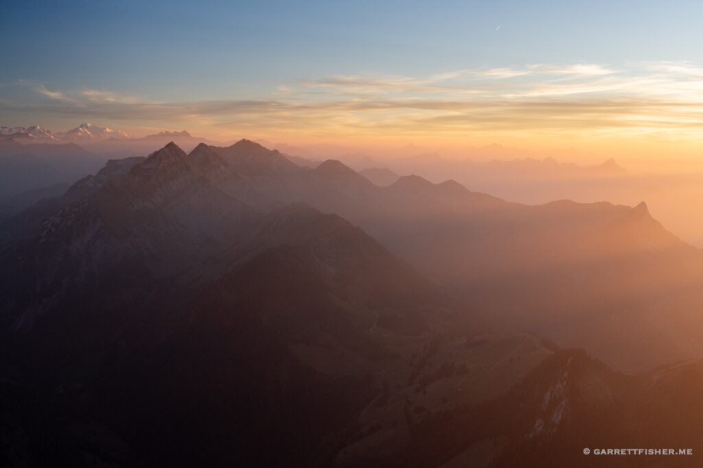
The mystery began on what should have been an illustrious autumn morning in the Alps. Peering out my window, I was greeted with sun and a magnificent scene as expected; however, the air was defiled with haze. While that can be typical in the Flachland between Geneva and Zürich, and particularly dense with northeast winds in early spring, there was no reason for its presence after a front had blown through.
Come to think of it, the mystery extended about four to five days prior, when I took a flight to the Pyrenees. I ran into a smoke layer obfuscating part of Mont Blanc, so I flew under it, noting that it dissipated between Grenoble and Valence, France. Looking at the satellite map, I assumed that it was dust from the Sahara, getting wrapped around a strong low that was tracking east from Trieste, Italy, with winds potentially wrapping from the east around the front of the Alps. “It should blow out in a day or so,” I said to myself, hoping my trip to the Pyrenees wouldn’t be ruined.
It didn’t blow out. It was still there when I flew back, though it was not in the Pyrenees at all. Again, I was sure with the passage of a front and some precipitation that some classic autumn weather was due and yet, here I was, looking at a treasure of a view with thick haze obfuscating it. My wife strolled to the window and said, “what a beautiful day!” “It is disgusting! Look at that haze!” I replied. “There is a bit of haze but look how nice it is outside.”
The nice thing about airplanes is that one can fly above such defiled air masses, which I attempted to do that afternoon. For some reason, the layer was much deeper than expected, and deeper than it should be with high pressure moving in. I surfaced the haze at 11,000 feet, which would be something more endemic to a high pressure zone in midsummer, not in autumn.
As I frolicked around the Matterhorn, it was clear to me that the layer was inconsistently placed. Usually, high pressure creates a firm inversion layer that is relatively consistent in altitude on the Italian and Swiss sides of the Alps. It showed variation, and I couldn’t dispel the nagging sense something was amiss. I snapped an iPhone shot into the sun to demonstrate the depth of haze, texted it to a pilot friend, and he replied how pretty the photo was. “It is filth,” I replied.
As sunset approached, I descended into said filth, now at about 10,500 feet near Martigny, and it smelled of smoke. “How could this be?” I thought to myself, “The only way it could be this thick is if the Vosges is on fire, but I doubt it.” Cruising into the circuit confirmed I was in some curious soup.
The next day, I had some business to attend to, using the Super Cub. It was sunny that morning as well, still defiled out the window, so by this point I was wondering why an explanation wasn’t on the news. I had a diversion to the Jungfrau before heading to the Jura. I could see the haze layer was incredibly thick over the lowlands, with a more compressed layer than before, and thicker than I had ever seen it below. There was also a secondary higher layer over Italy. I was concerned the descent to land in the Jura would place me in IFR, though it was MVFR, and smelled again of smoke.
Returning from the Jura, Chasseral was sticking out above the smoke, so it meant the layer was shallow. As I approached the Bernese Oberland, it thickened however, and showed two layers.
After landing, I couldn’t take it. Where on earth was this haze coming from? Meteo Swiss was to the rescue the next day, in German, with a long explanation showing upstream airflow analysis. Where was the smoke coming from? Canada! That is a first since I have come to Europe. I have seen Martian orange sand blow into the Alps from Africa, but not to date thick smoke from Canada.
In the Valais at 10,000 feet. Everyone else sees the Alps. I see haze that doesn’t belong.
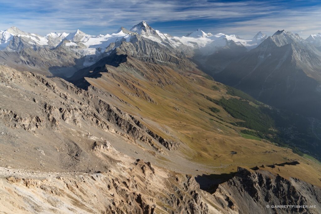
Plateau d’Herens. While it looks fine in the foreground, Italy is quite opaque in the rear.
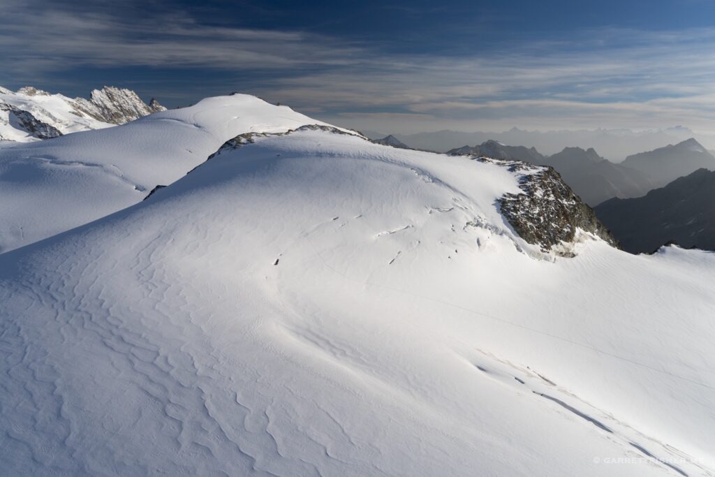
Ghiacciaio des Grandes Murailles with Grand Paradiso on the horizon. The layer is clear to the left horizon.
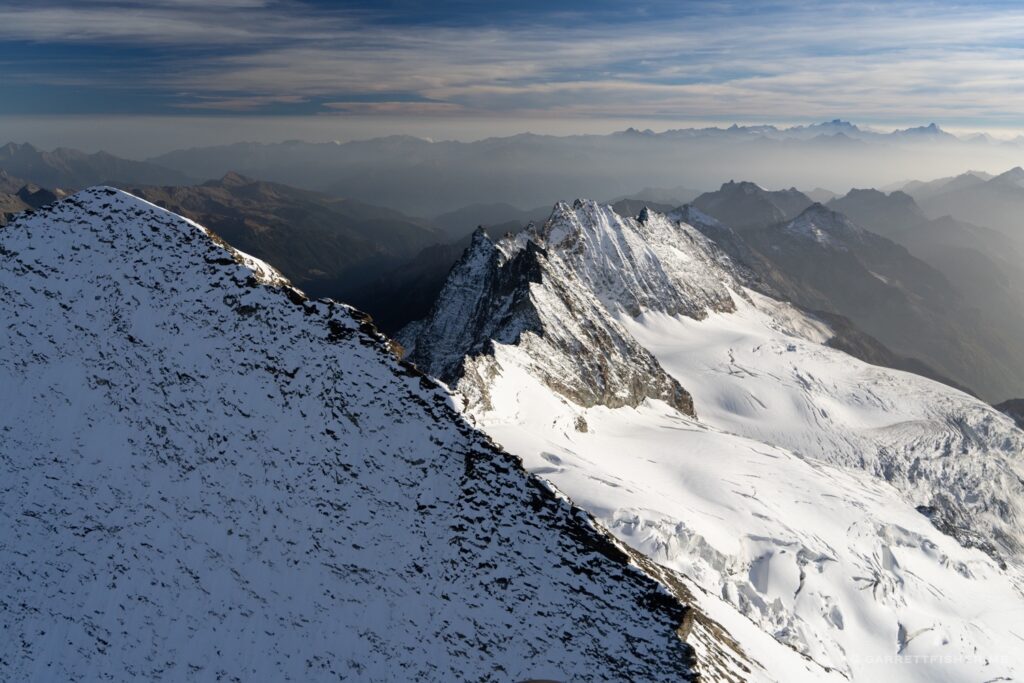
Looking west over the Italy-Switzerland border toward Mont Blanc. This places the layer at roughly 11,000 feet. I hadn’t ever seen anything like this so high up.
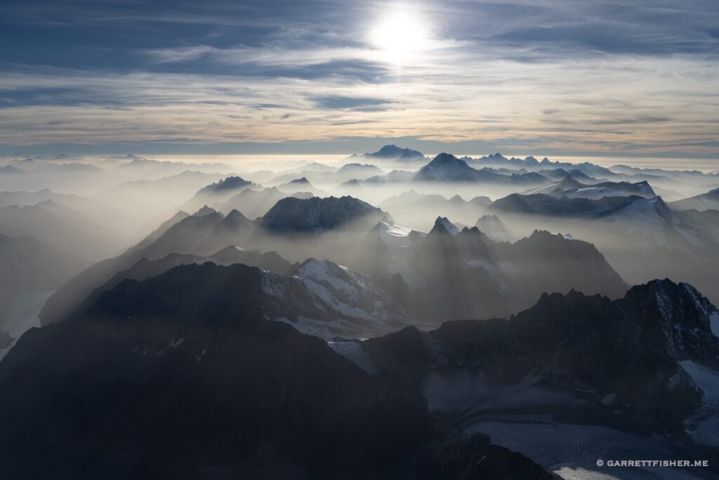
Grand Combin left (14,265′) with Mont Blanc right (15,771′) and the clear layer below.
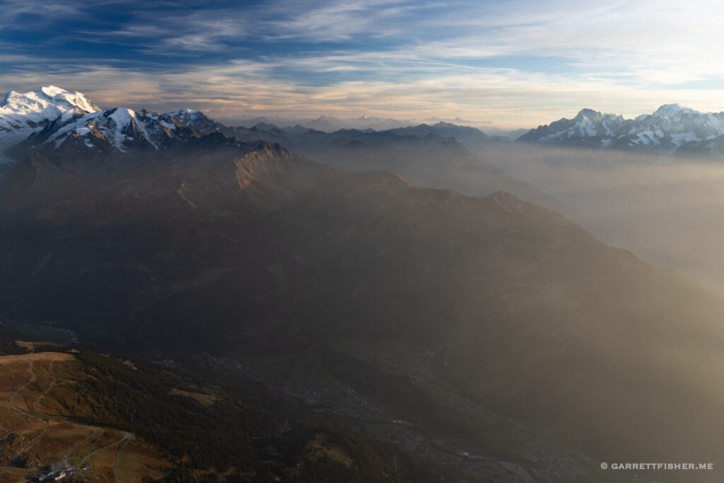
Les Diablerets. I am now under a thicker layer (one can see it obfuscating the summit). It now smells of smoke. The cloud layer below is typical of the season, pressure, and temperature profile. Where there is smoke, there is fire….
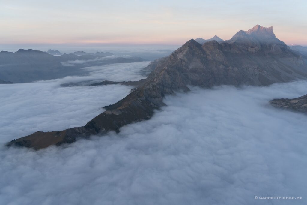
Errand flight the next day. Berner Oberland at 7,000 feet. Note the smoke to the left. The plot literally thickened.
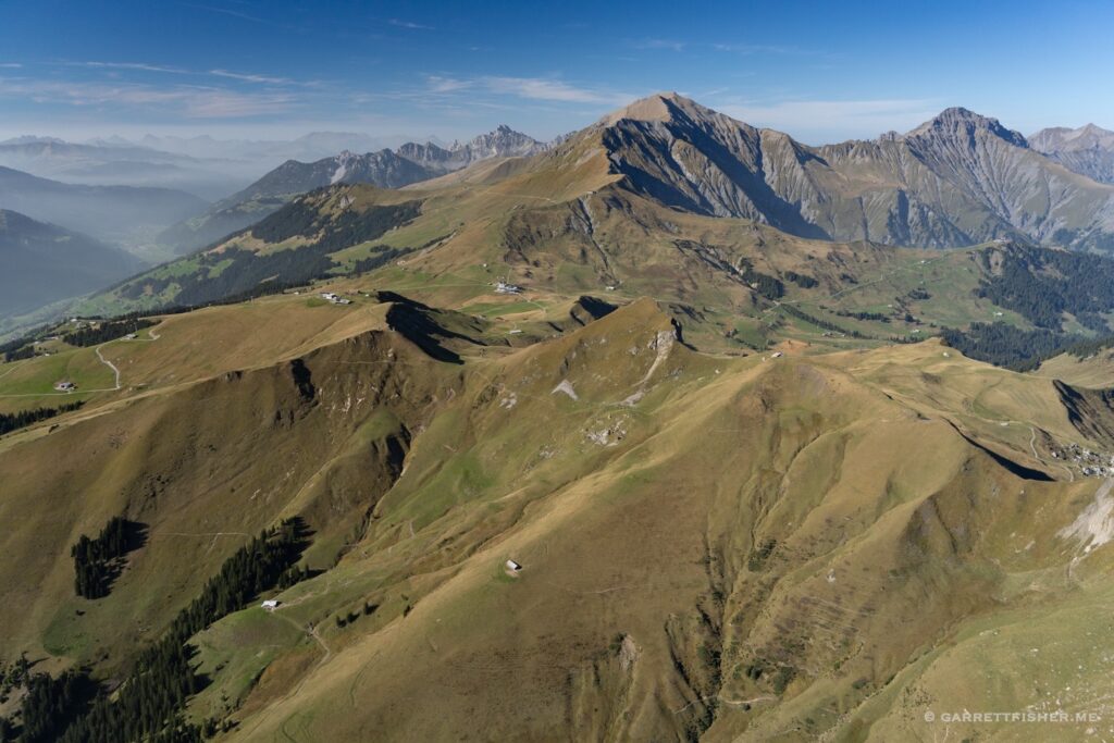
East ridge of Mönch, with the layer clearly below.
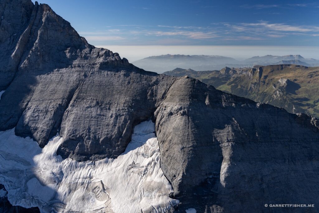
Yet above Konkordiaplatz the layer to the south appears much higher and thinner. By this point, I was beginning to think something was wrong with my reasoning skills.
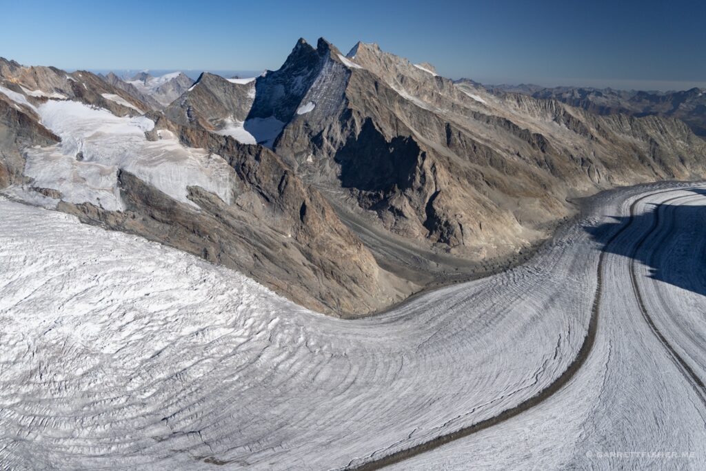
Rottalgletscher. Looks fine here. “This is proof you’re a snob and making things up,” I said to myself.
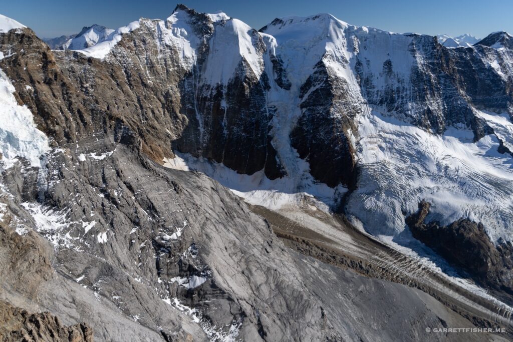
Chasseral (5,269′). Definitely not making things up.
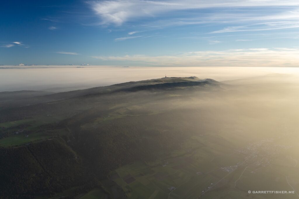
Approaching the Oberland at sunset, marinating in the haze. Its definitely real, though I would confirm its origin the next day.
