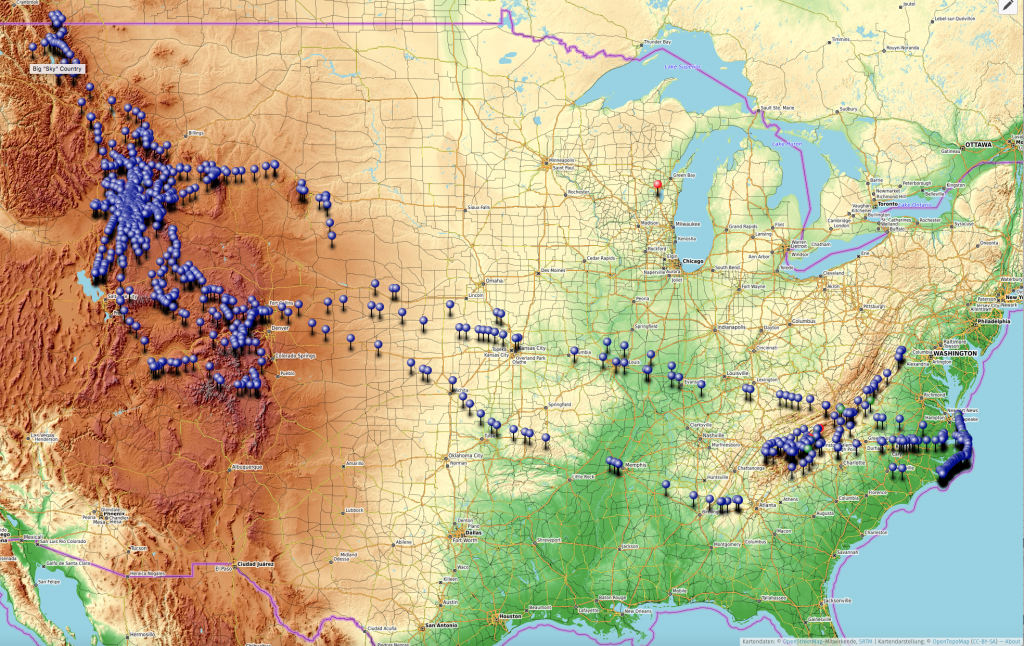
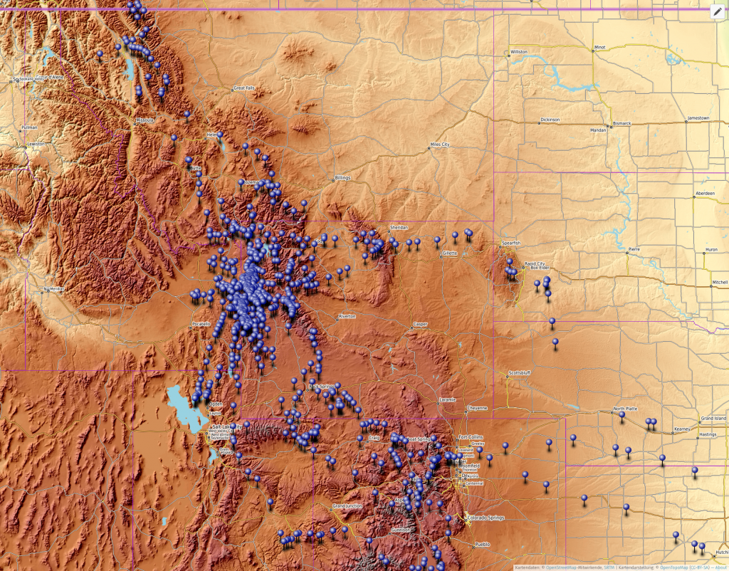
I was too busy flying and moving to Germany for the past year to bother to update my lovely map on the front page of the blog site (www.garrettfisher.me). The general idea when I started the blog was to have an erotic map filled with pushpins denoting locations where photographs were taken, including a preview of the image for those who clicked on the pin. That was all well and good until I ran into a bit of recursion cycle: too much flying meant not enough time for updating the blog, which meant that actually updating the blog would be even harder. I suppose that is the same cycle crackheads deal with (you say tomato…..).
I have finally added hundreds and hundreds of pushpins, bringing the blog entirely up to date. Since most people will not actually click on something yet still expect free intellectually (and sometimes physically) stimulating content to magically arrive and stimulate their minds without any effort, I included some static images below of the locations on the map.
To get a full screen version that you can pan, zoom, and click on previews, click here.
To see the map of European flying (what little there is), go to the front page of my blog and scroll to the bottom.
The whole shebang: all USA photos posted on the blog.

Basically, this is my flying last summer, with the exception of the flight over the Black Hills of South Dakota. After writing that last sentence, it occurred to me that next to no one can identify the Black Hills from this map.

Don’t forget: you can get the live thing by clicking here (and you won’t because let’s face it: readers are too inert, and my bitterness is doesn’t help even though it is strangely attractive).
