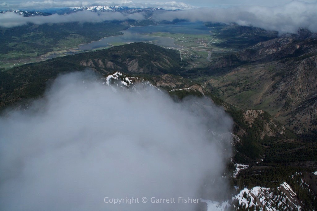
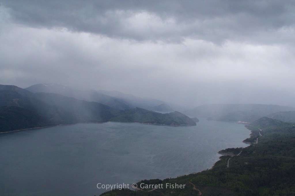
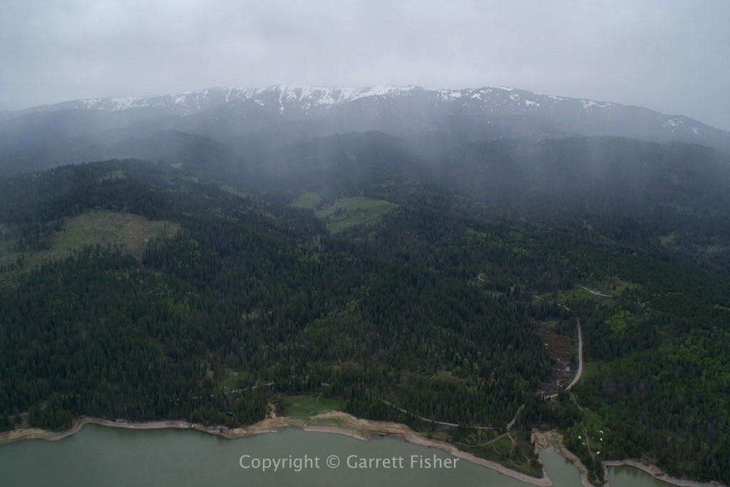
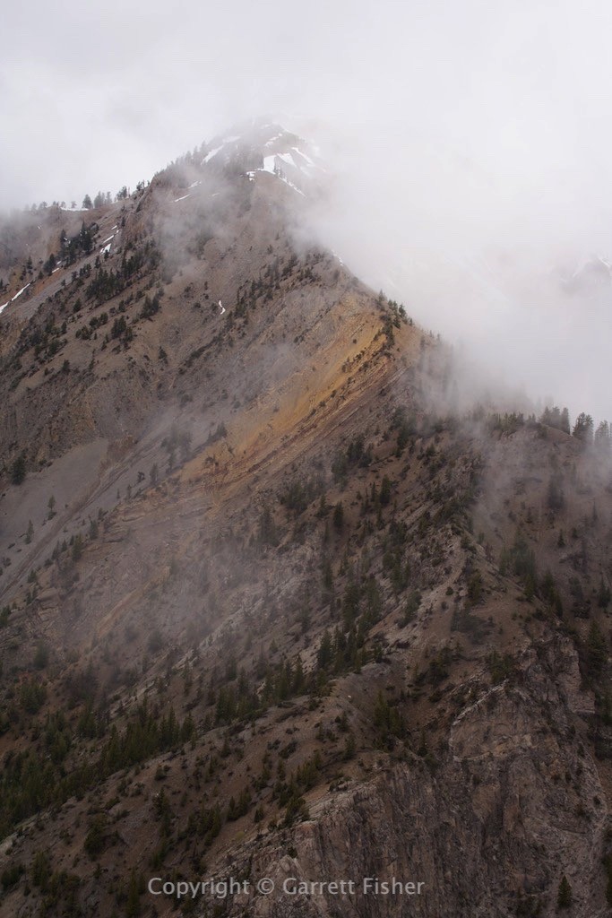
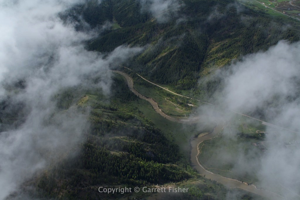
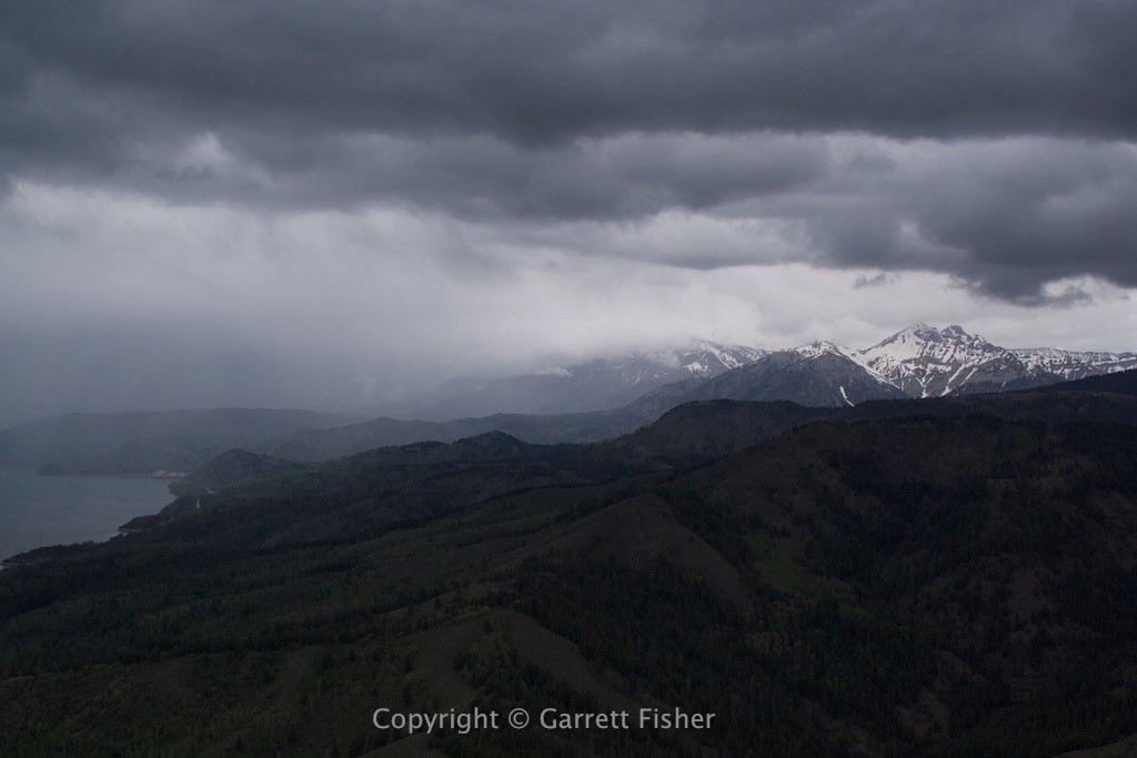
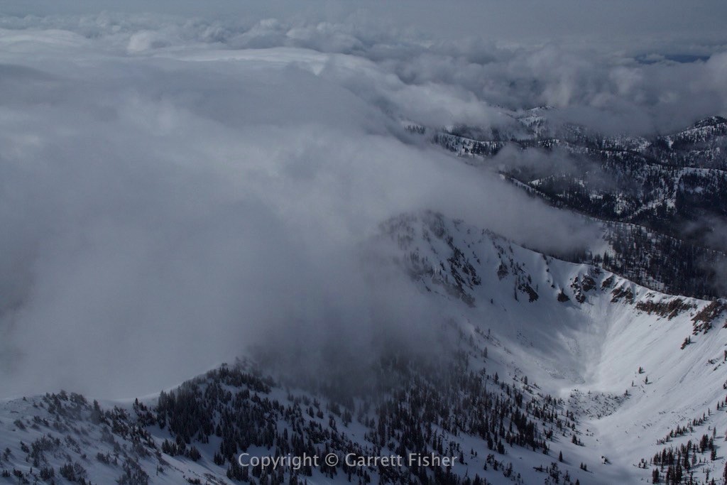
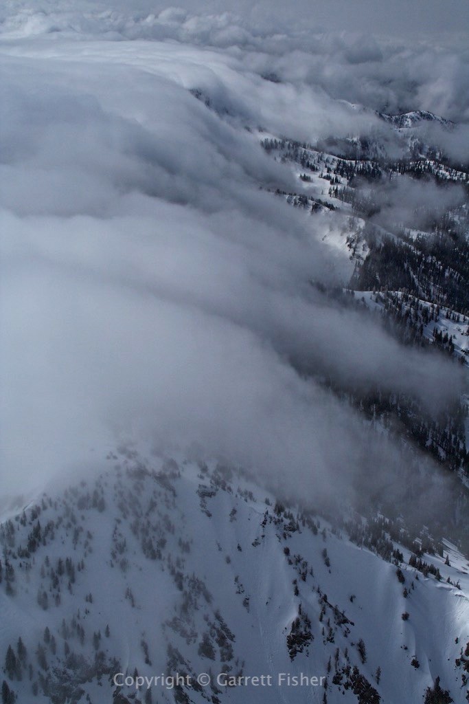
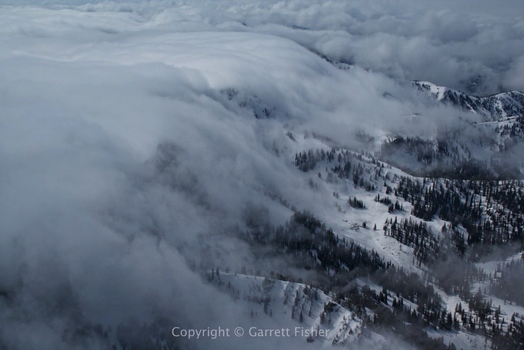
For those halfway observant, it is likely evident that I prefer sharp blue skies with crystal clear air for aerial photos. Well, that has not been happening here at the Idaho/Wyoming border in the month of May. Coincident to my humidified photogenic malaise, climatological norms indicate that May receives the most precipitation on average. You know what they say: “make hay while the sun shines.” Well, that might not quite work here. How about “go flying anyway even though the weather is crap and it might be barely legal.” The photos turned out quite amazing anyway, thanks to a sizable storm smacking eastern Wyoming and Colorado, providing an embankment of clouds that spilled majestically over the Salt River Range. This is an amalgam of short flights flirting with malfeasant weather over multiple days.
Snake River Range, with Palisade Reservoir to the Left
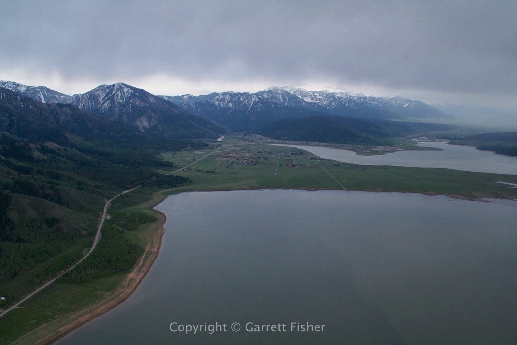
Alpine, WY – Looking down the runway
Snake River Canyon – The weather invites a flight up the canyon
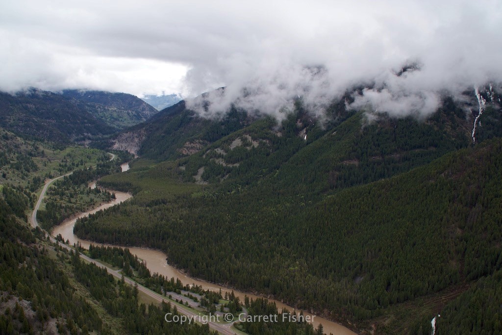
Snake River Range descending into the Snake River Canyon
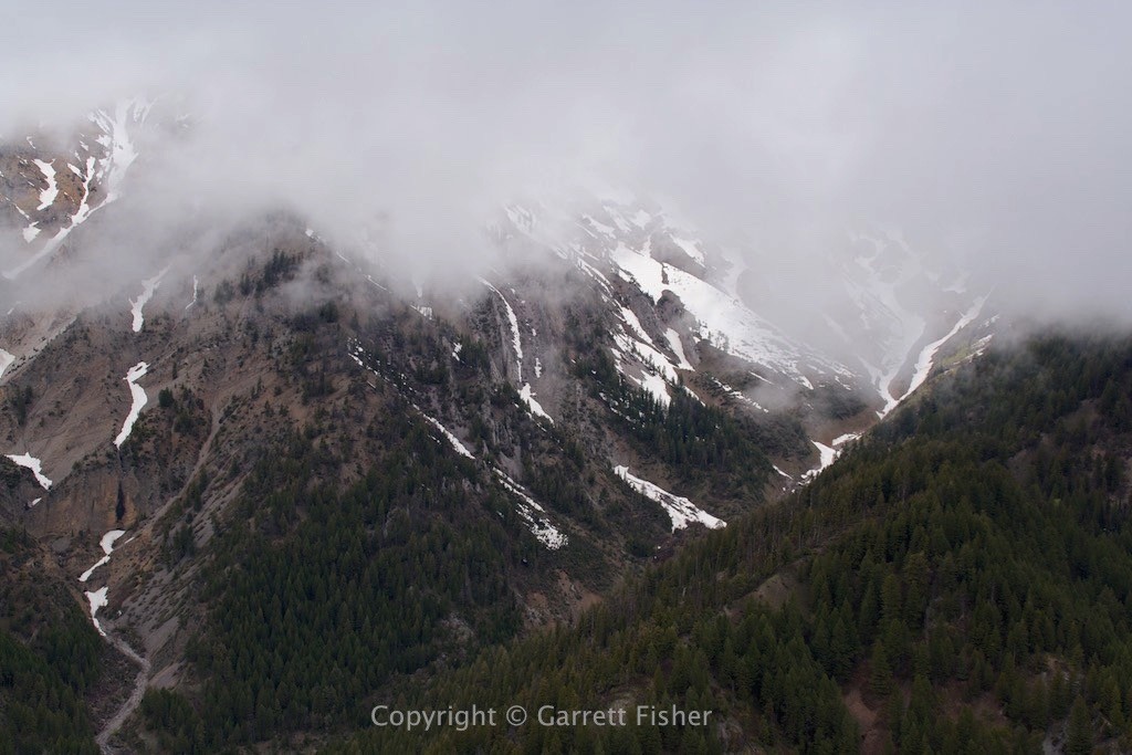
Ferry Peak – Taken from 10,000′
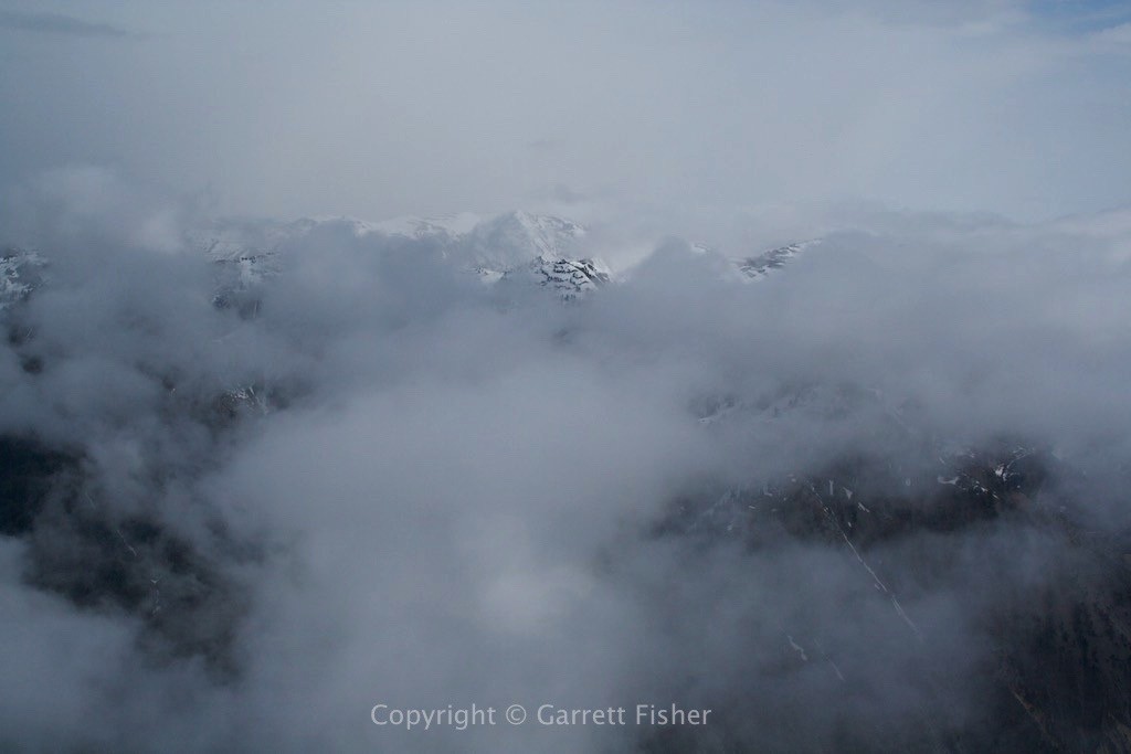
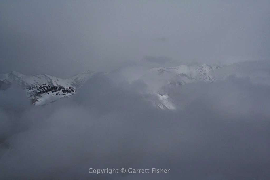
Salt River Range, Clouds Spilling into the Star Valley
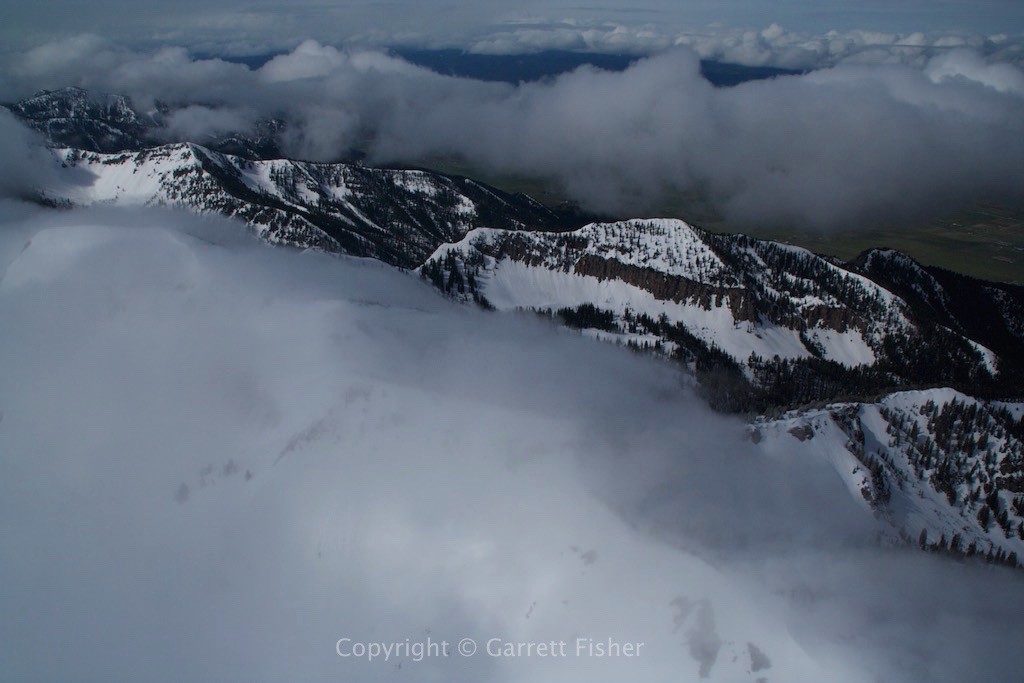
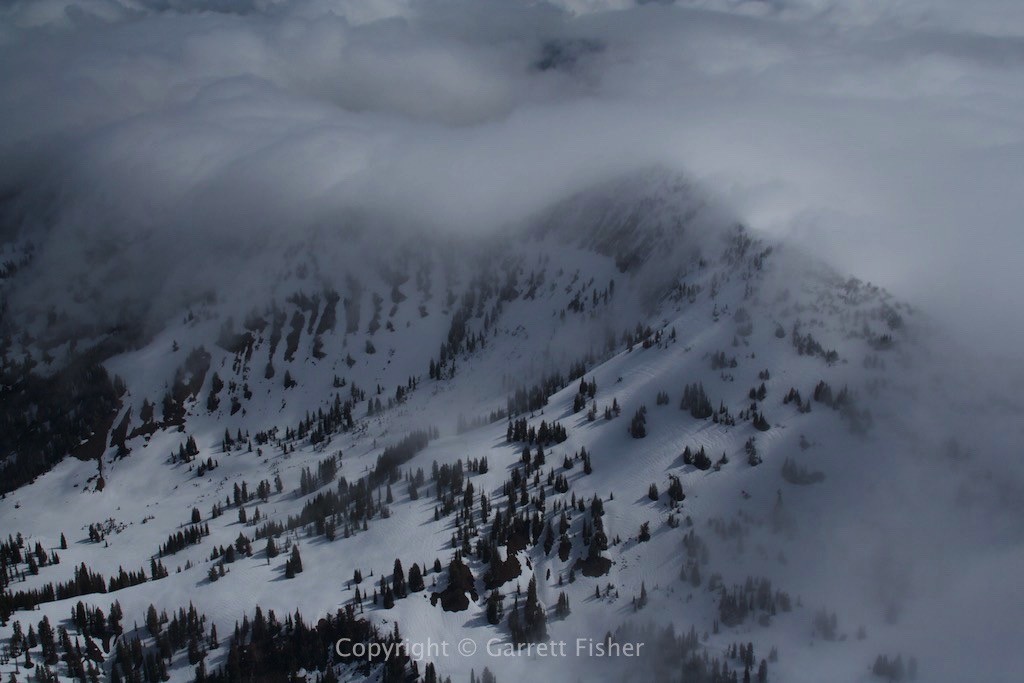
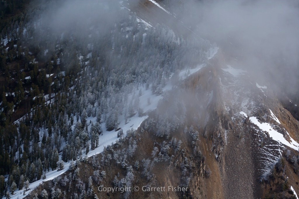
Rime Ice on the Trees (that is not snow) – Supercooled droplets from clouds smacking the trees
Alpine, WY with Palisade Reservoir, taken from the Salt River Range, looking NW
