So I digress a couple of days to a flight taken up to Yellowstone. This was part of the snowfall orgy that took place, and the attention deficit disorder induced maniacal fusillade of back-to-back flights.
Yellowstone was closed. Not just closed to car traffic – closed to cars and snowmobiles. Snowmobile access starts in December, so this was an unholy gap, where a park the size of Rhode Island and Delaware combined becomes a ghost town, save for the enormous carnivores.
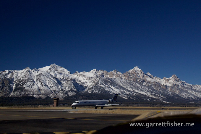
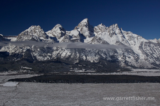
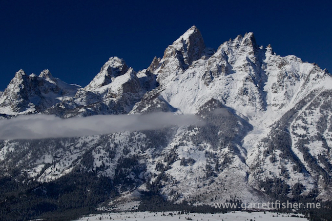
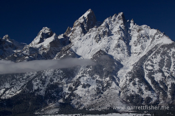
It was freezing cold, with illustrious blue skies, dry air, and to my pleasant surprise, some fog burning off over the Lewis River. The fun started with a request to Jackson Tower to head straight north through their airspace, and the controller was more than obliging. I was able to photograph Grand Teton with a butte normally reserved for busy air traffic in the foreground. I was then treated to a military Aegis C-130 shooting an approach into Jackson with Grand Teton as a backdrop. Yeah, that was cool.
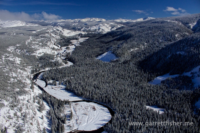
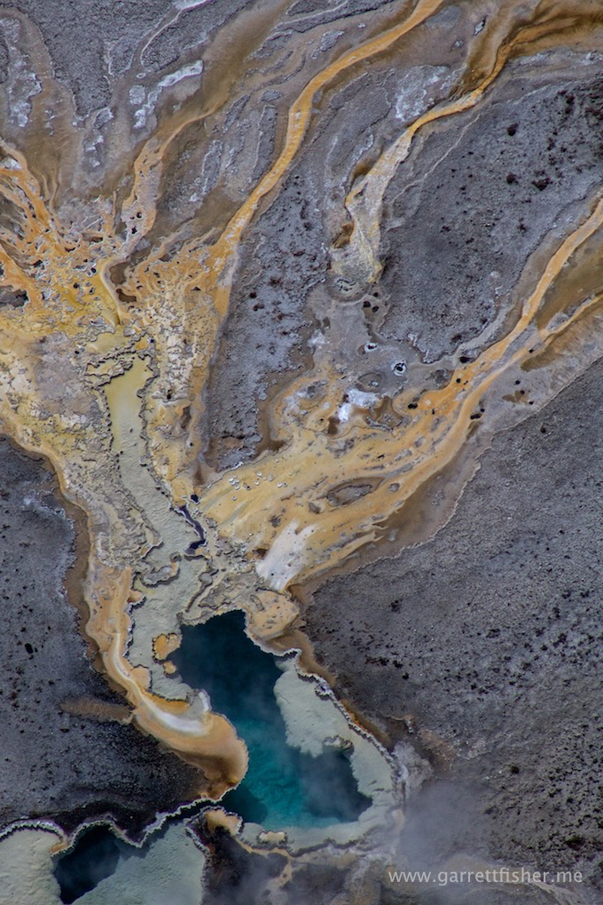
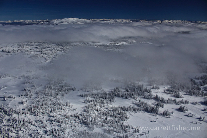
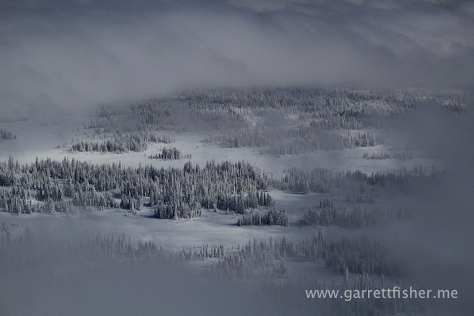
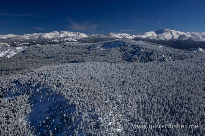
Heading north, I was reminded again why this whole affair is an exercise in survival, diligence, and pushing boundaries. Yellowstone is plainly rough. Snow was extremely deep compared to Alpine, with glorious rime ice on the ascending terrain from the Snake River Plain to the hills east of Mt. Sheridan. It was a picture perfect blue sky, with fog, rime ice, snow, mountains, lakes, and hot springs.
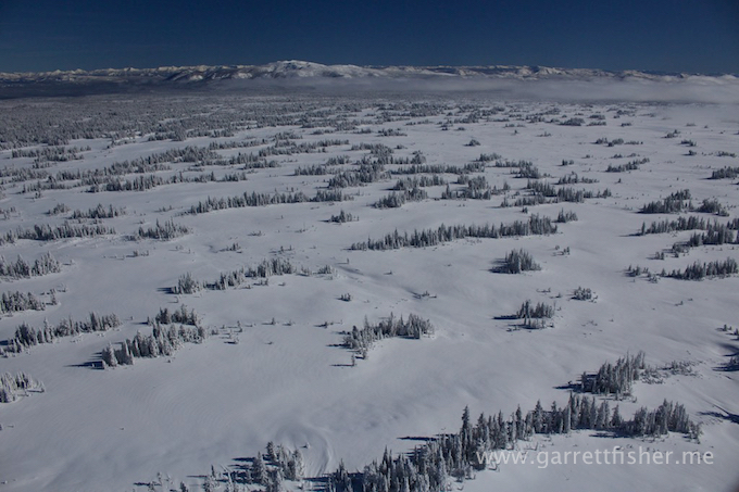
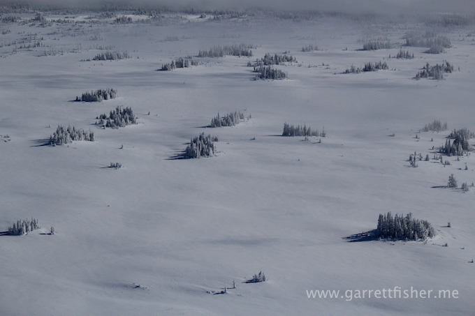
I went under the fog layer, came out east of Mt. Sheridan where the sky was clear, went under again over to Old Faithful, and then headed straight south over Madison Plateau, above the clouds (read: the hell with it – it was too beautiful to worry about being 20 miles from the one road going through that area). Madison Plateau effectively has a timberline, even though it is a plateau at about 9,000’, likely due to extreme wind and high snowfall. It is about as remote as it gets in the park, with the only consolation being that there is a big powder poof snow cushion to land on if need be.
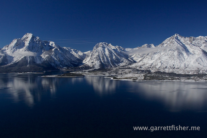
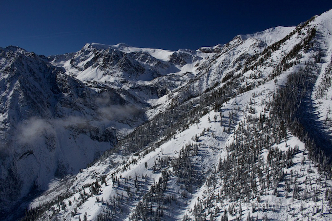
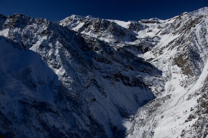
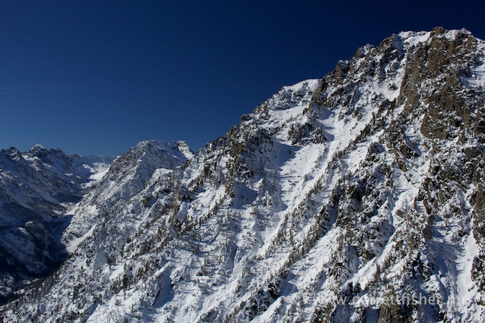
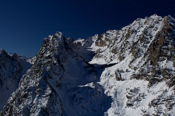
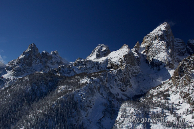
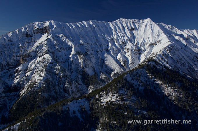
I decided to do something new with the Teton Range. Instead of taking the same “boring” run back to Alpine, I stayed at 9,600’ and traversed quite close to the eastern terrain of the range, just above what I call the “skank layer” (official meteorological term: inversion layer), photographing the canyons and peaks as I went along.
This is one of those flights that was so dynamic, with such incredible photographs, that I will look back when I assemble the Yellowstone book and wonder if the book would have been suitable had I not taken this flight. Almost every book I have published has that one flight that pushes the dynamism of the finished product to a level that is worth publishing. Anything less and I wonder if I would shelve it.
Grand Teton with the restricted airspace butte in view.
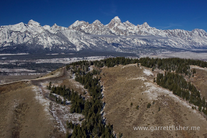
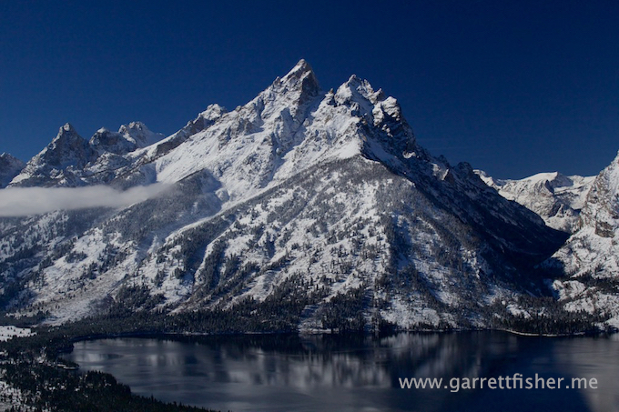
Grand Teton. This never gets old.
Yellowstone under the rising fog layer.
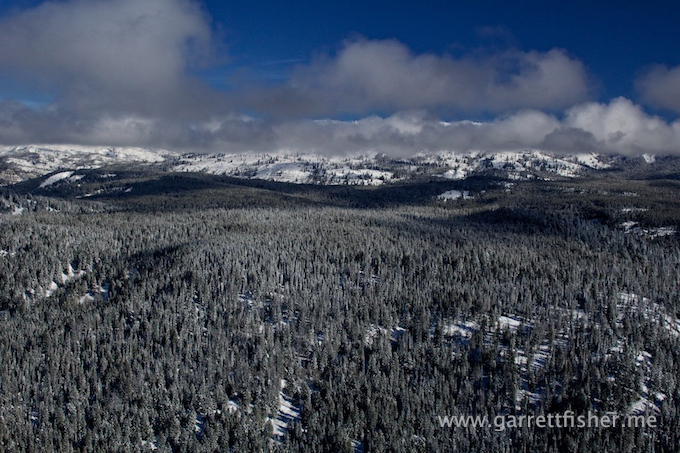
Looking toward Absarokas – note rime ice on pine trees.
Waiting for takeoff at Jackson Hole Airport with a Delta flight landing.
