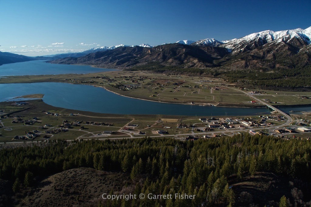
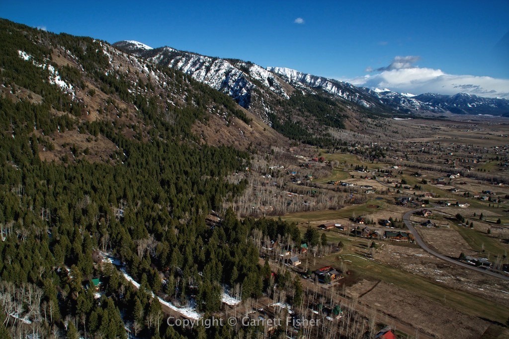
The Star Valley of Wyoming runs north to south and is almost 40 miles long. Technically, we here in Alpine are at the northern terminus, and also coincidentally at the eastern terminus of the Swan Valley, which runs in an arc from the Snake River Plain in Idaho up between the Caribou Range to the south and Snake River Range to the north.
When I flew in from Colorado, we crossed the Wyoming and Salt River Ranges (terrain was 10,000 to 11,000’) and zoomed right along the Greys River and into town, missing the entire valley. After a quick 45-minute flight down the valley and back last week, I was able to get quite a few pictures. Star Valley flying is the closest thing to cruising around upstate NY during the summer with gentle air, flying 1000’ above the ground, with nothing to worry about except enjoying it. The photos tell more of the story than I can.
Salt River – Northern Star Valley looking south
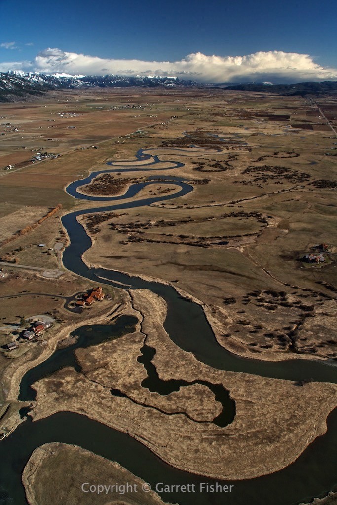
Middle Star Valley, Looking South Toward Afton, WY
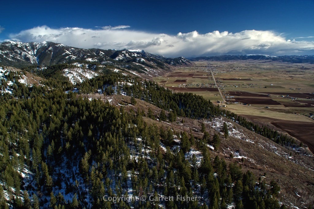
Salt River, Southern Star Valley, Afton WY at distant left
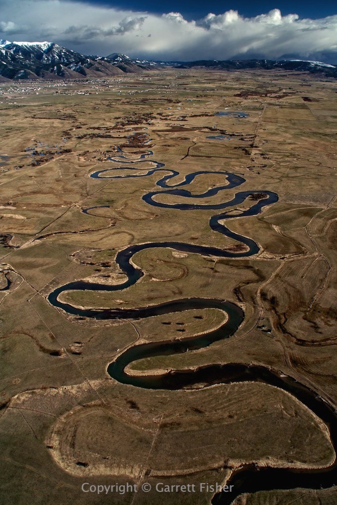
Middle Star Valley, Looking Northeast
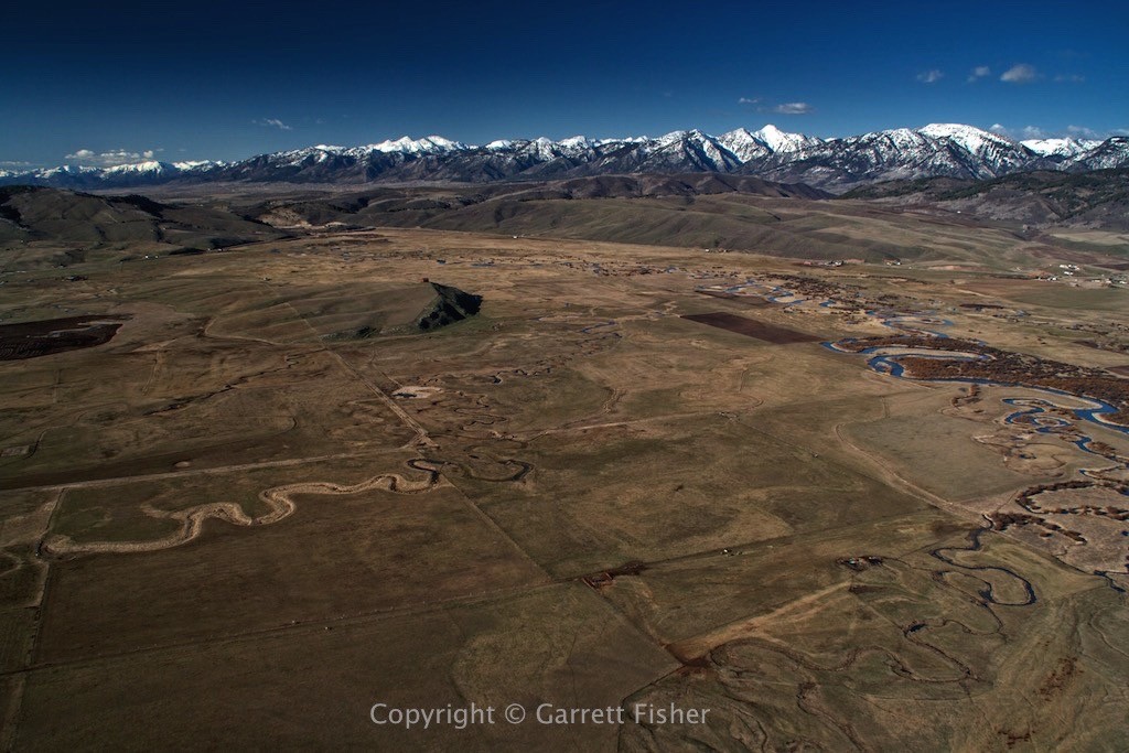
Star Valley – Thayne, WY, Looking North
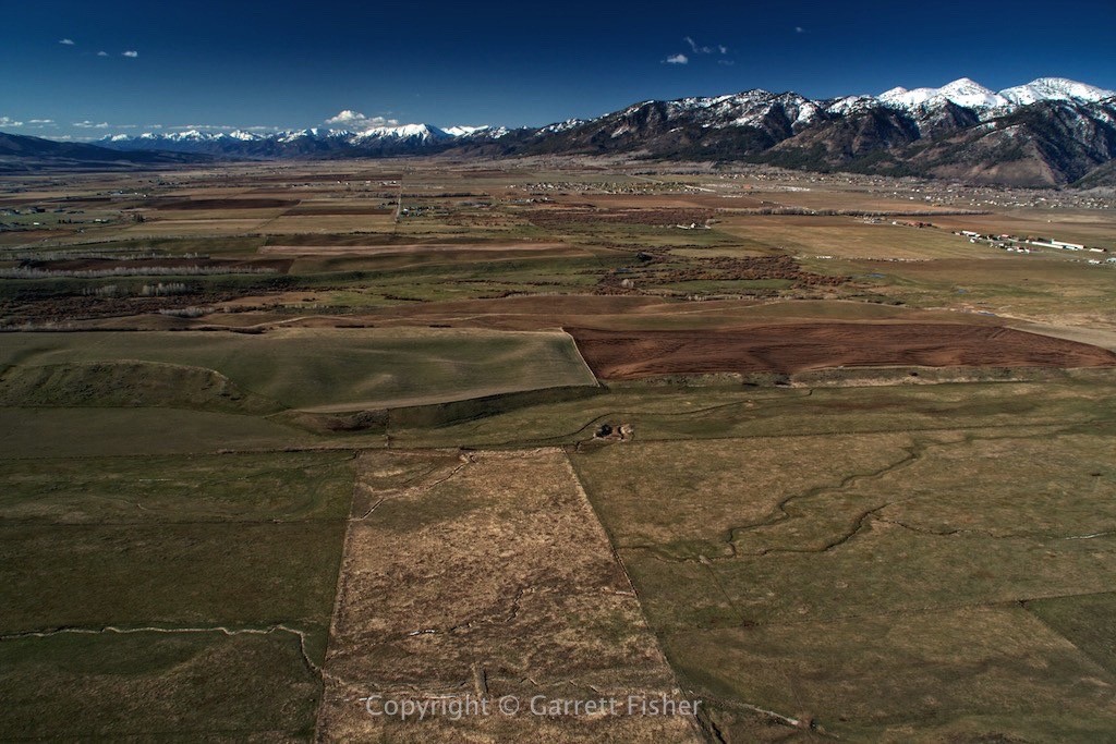
Just South of Alpine, WY, Looking Northeast, Airport in the distance across the water
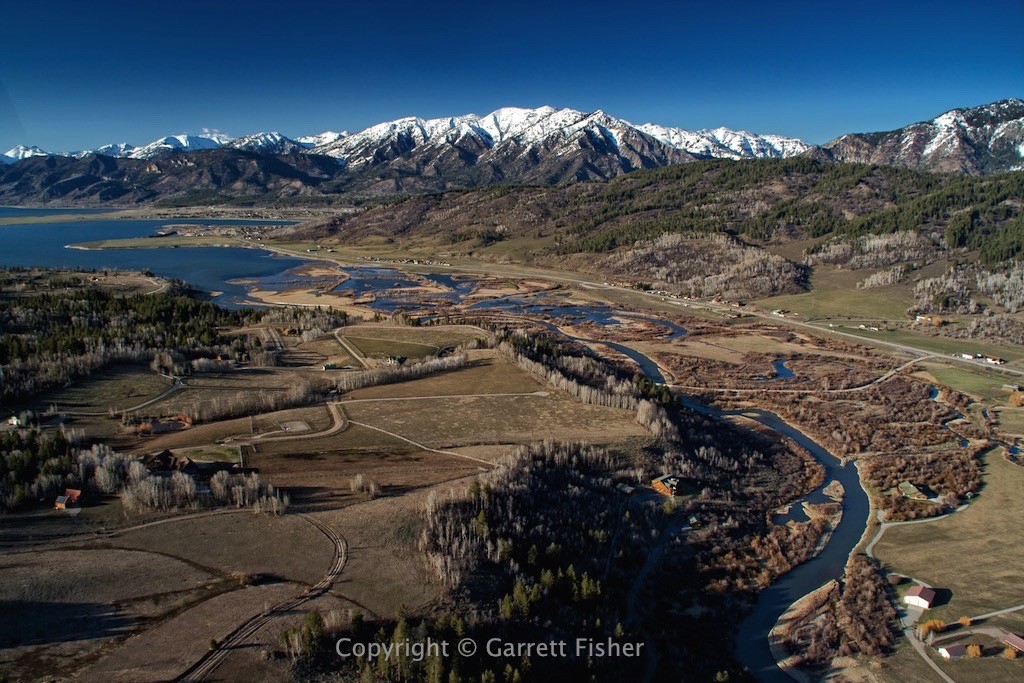
Alpine, WY Town Center, Airport in Center Left – Looking NW down Swan Valley into Idaho
