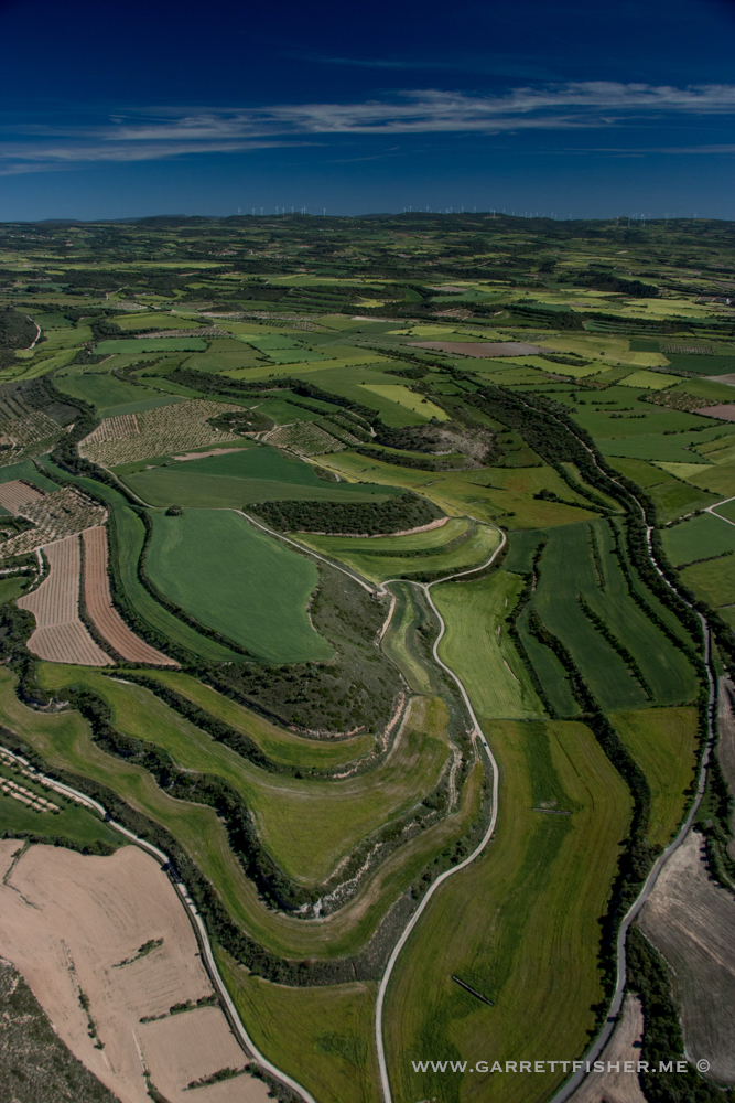
Castellano abajo.
This whole idea came about as a result of a referral from someone at the airport, suggesting I check out the Monegros Desert, as I would like it. There was some extensive Google Maps browsing, as usual, coupled with a now westerly wind that an experienced pilot told me results in clear air in the Catalonian lowlands. My intuition said it was a good day (intuition is better than forecasts many times), so I ghetto packed the airplane and set off for a very long day of flying.
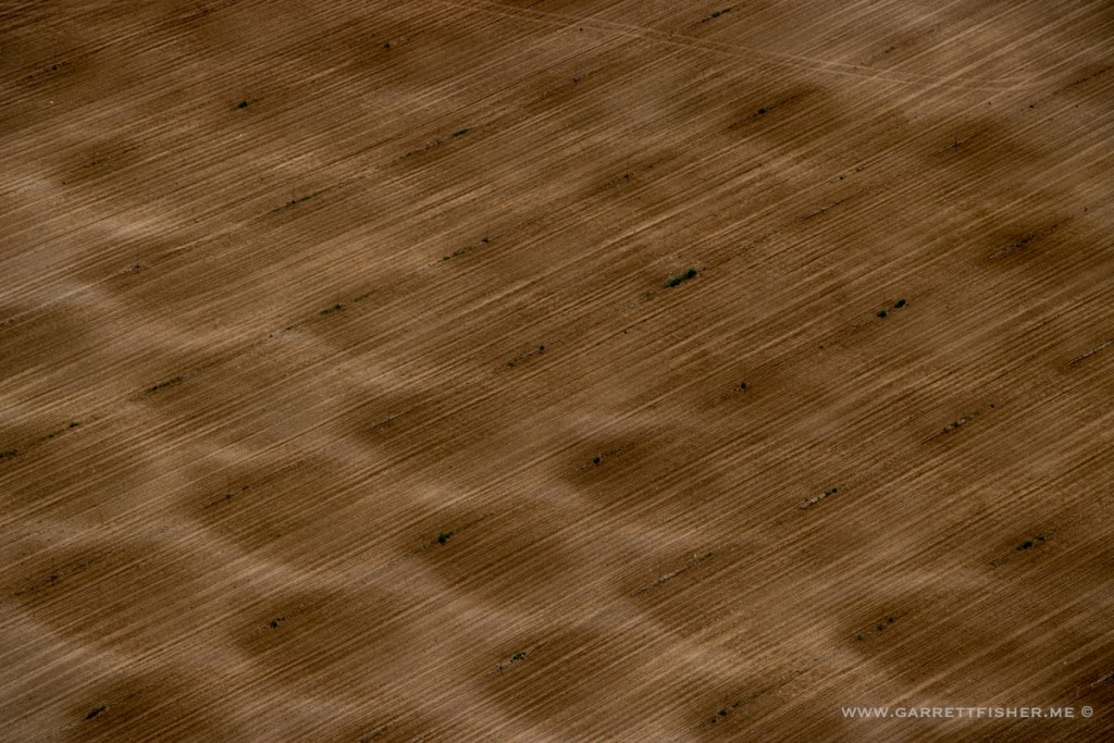
I was greeted with resplendently clear air, fresh spring temperatures, and wide open skies. The wind was quite strong down in the plains, requiring my Montana and Wyoming flying skills: reading the undulating ripples in the fields, whitecaps on small lakes, and furious windmills to determine locally strong winds and plot my course wandering around the middle of nowhere.
Refueling was an unconventional arrangement on a “grass” strip in the desert, which was really some weeds and herbs getting pummeled by the wind. The flight home was circuitous, winding through springtime colors in various sections of Catalunya, before the required climb over one of many passes to sneak back into La Cerdanya.
Esta idea resultó desde una recomendación, una sugerencia volar al desierto de Monegros. Después de buscar en Google Maps con exceso, determiné volar durante un día con vientos del oeste fuerte, lo que indican aire claro en la depresión central de Catalunya. Mi intuición dijo que estaría buen día (muchas veces intuición es mejor que un pronóstico), entonces salí para un día muy largo de volar.
Encontré aire plenamente claro, temperaturas frescas de la primavera, y cielos abiertos. El viento fue muy fuerte in las áreas abiertas, exigiendo mi experiencia de Montana y Wyoming: leyendo las olas en los campos de trigo, olas en lagos pequeños, y molinos de viento furiosos para determinar vientos locales.
El repostar fue algo no convencional (“España es diferente”) por una pista en la mitad de nada en el desierto. Para el vuelo a regresar, pasé por varios lugares en Catalunya con campos de agricultura de color de primavera, terminando con cruzar los Prepirineos y la col sobre Cadí-Moixeró.
Early in the trip, I heard a “hello Garrett” on the radio, and looked to the right to see a fellow pilot who shares the hangar flying his motor glider.
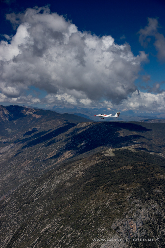
Riu Segre, south of La Seu d’Urgell
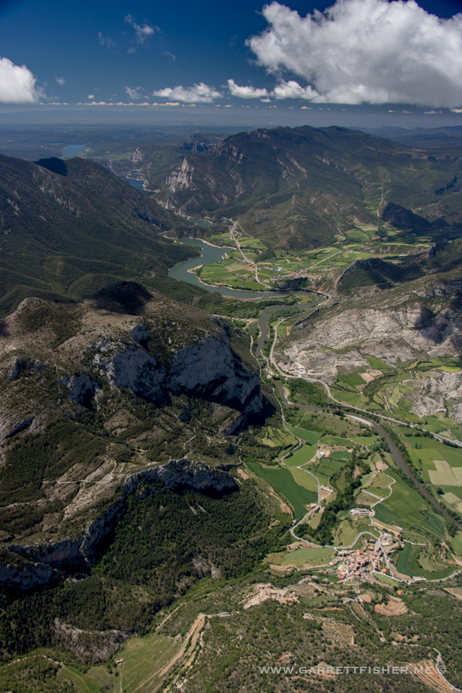
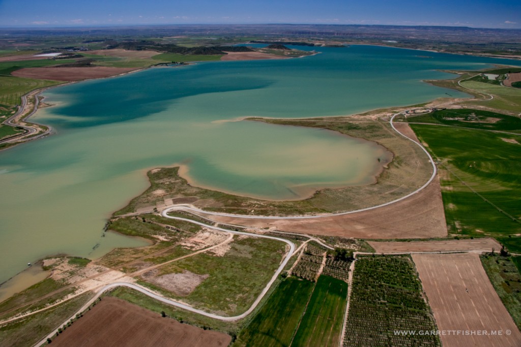
Embalse de Santa Ana. Catalunya to the left, Aragón to the right.
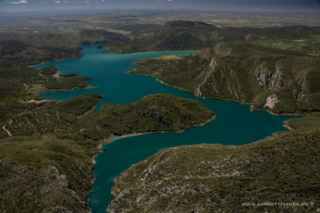
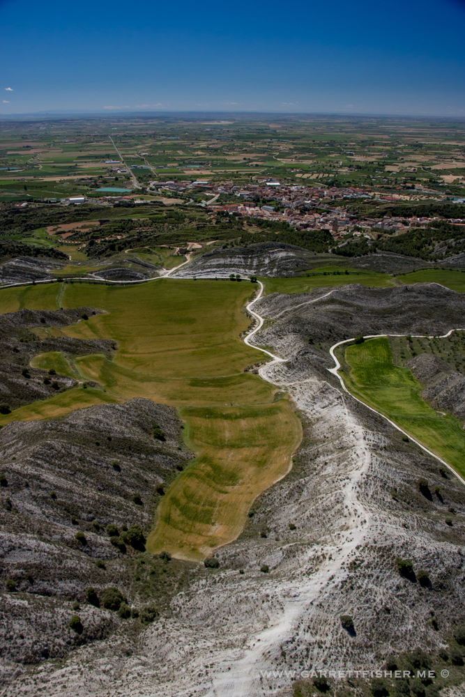
This is better than it looked on Google Maps.
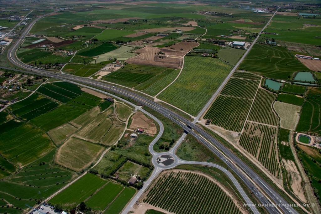
Spanish highway layout has a similar flare to many of their cultural norms.
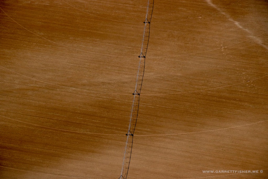
Irrigating while the wind is screaming and the humidity is low. Has anyone considered night time?
Lake without a name, south of Binaced.
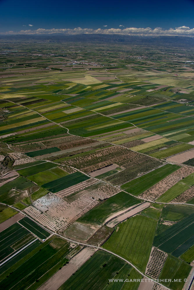
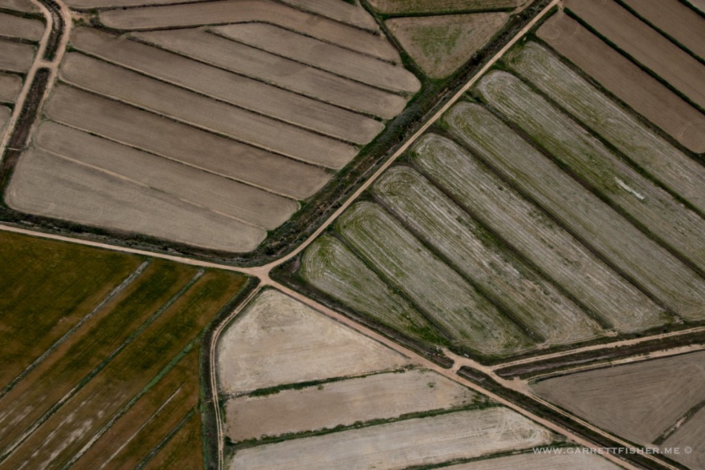
I wasn’t sure what this was, until a recent flight over them again, and they are flooded and green while everything else is burnt dry. It may be rice patties.
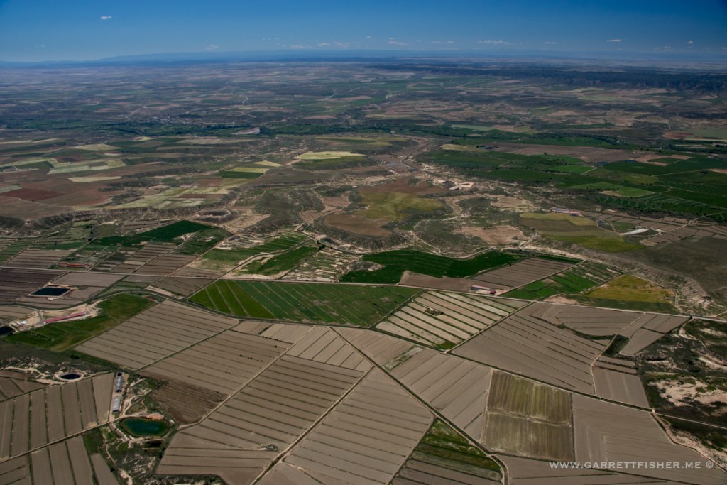
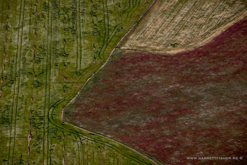
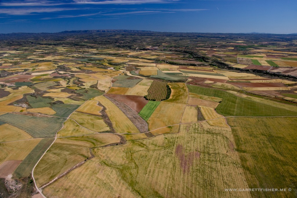
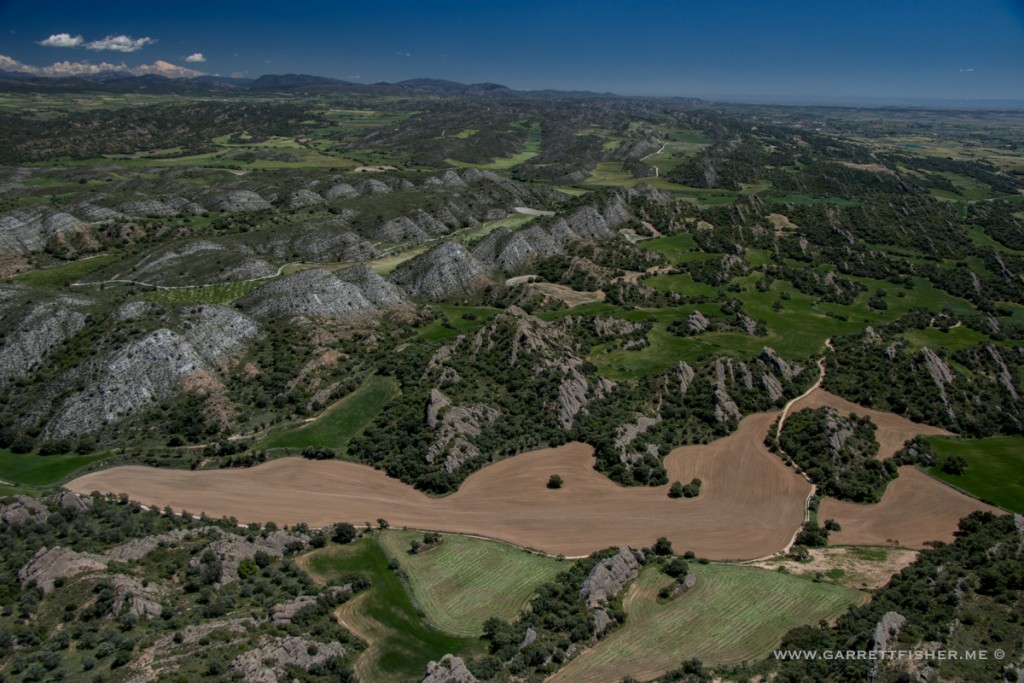
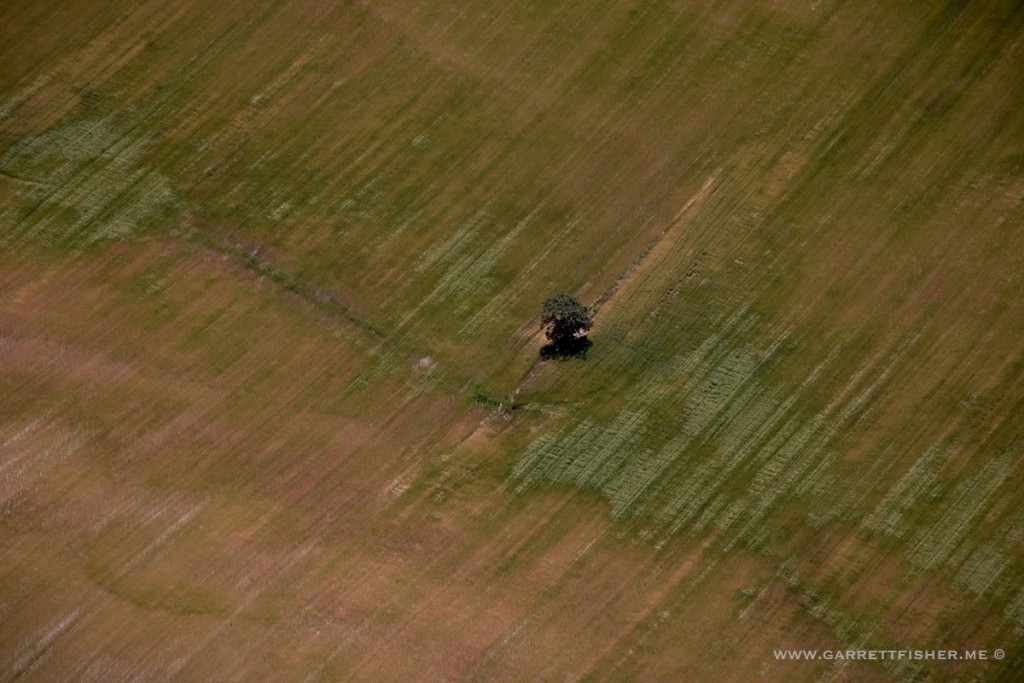
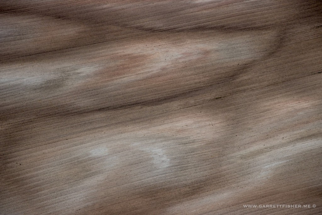
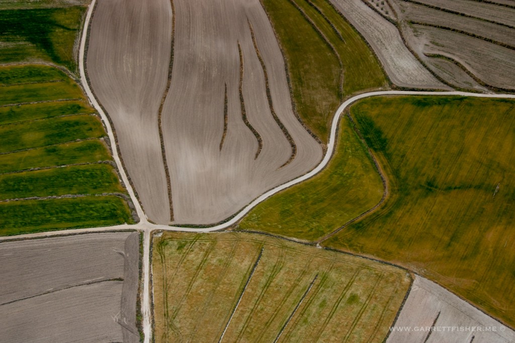
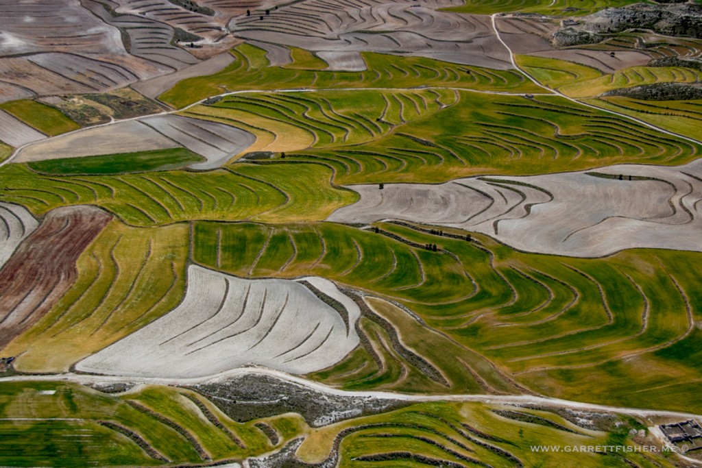
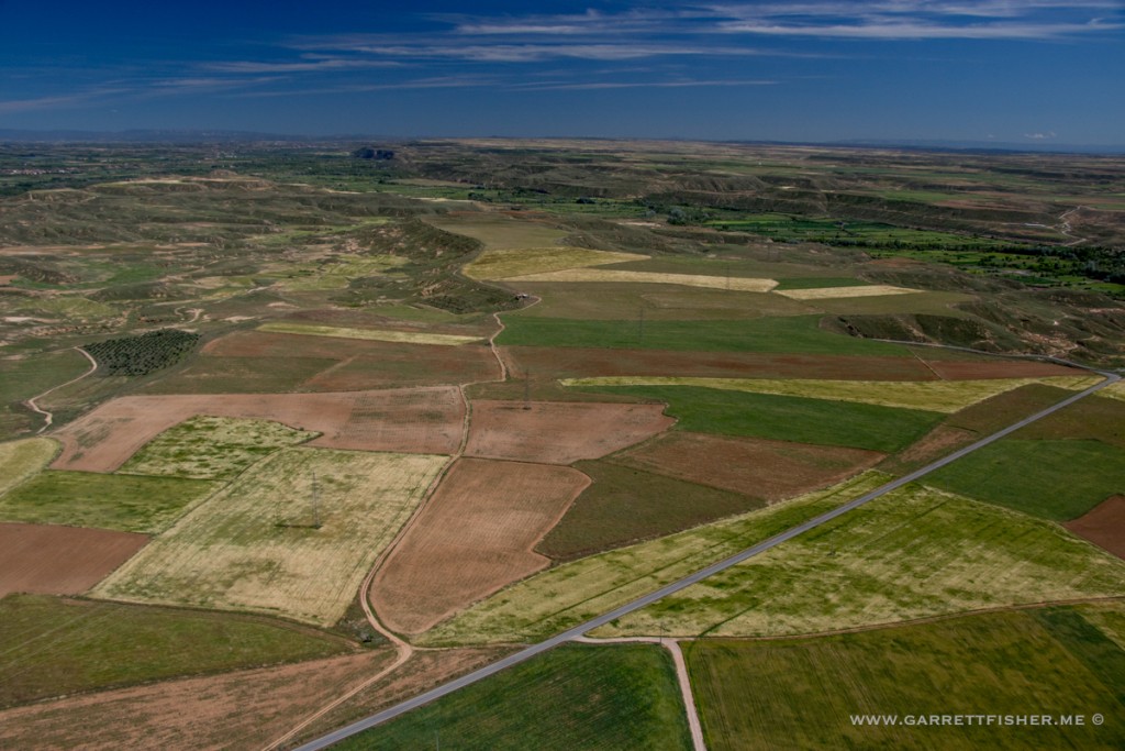
Monegros. The colors were unquestionably surreal. Perhaps Picasso, Gaudí, and Dali just visited the Spanish countryside to create their art?
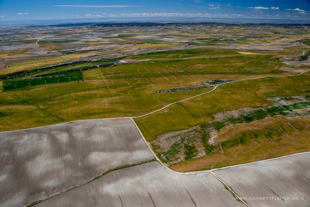
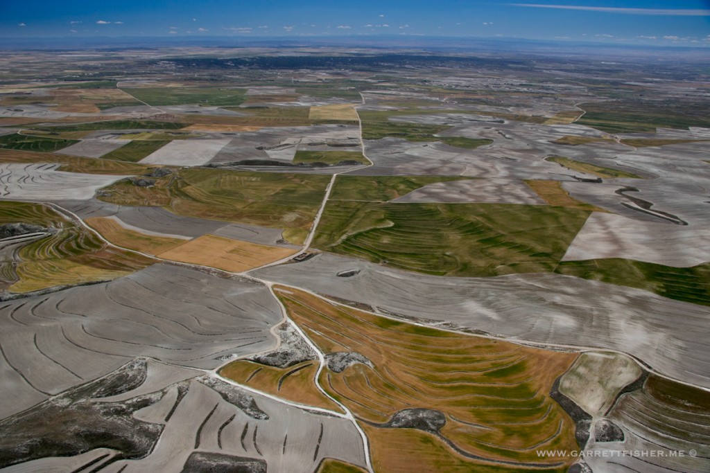
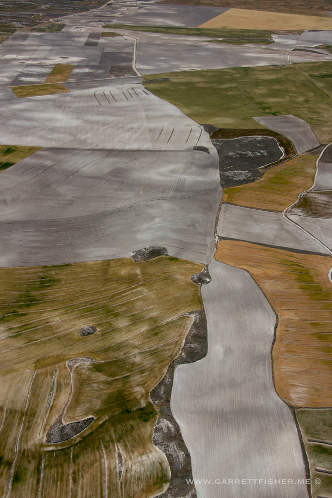
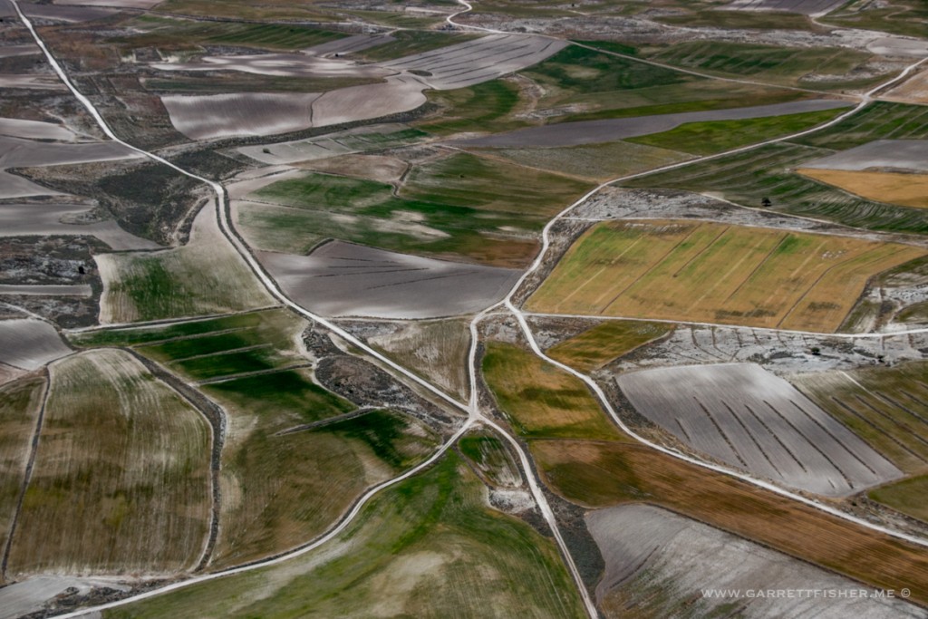
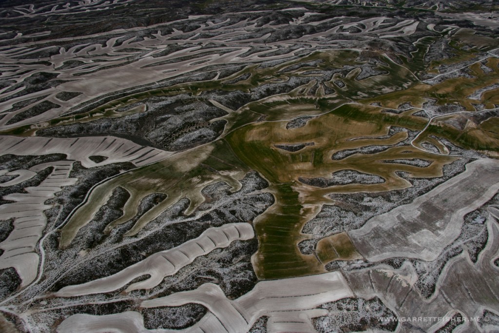
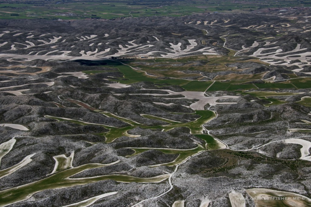
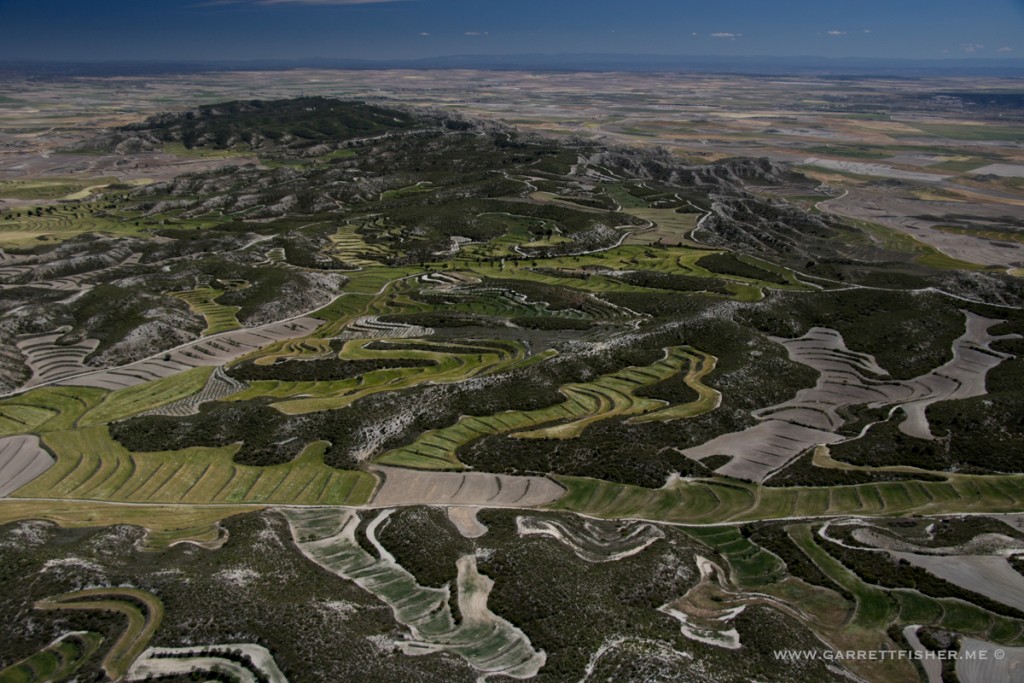
“Airport” – Castejon de los Monegros. The wind was howling, which carried scents of crushed herbs from taxiing and walking. The place is a wildfire waiting to happen.
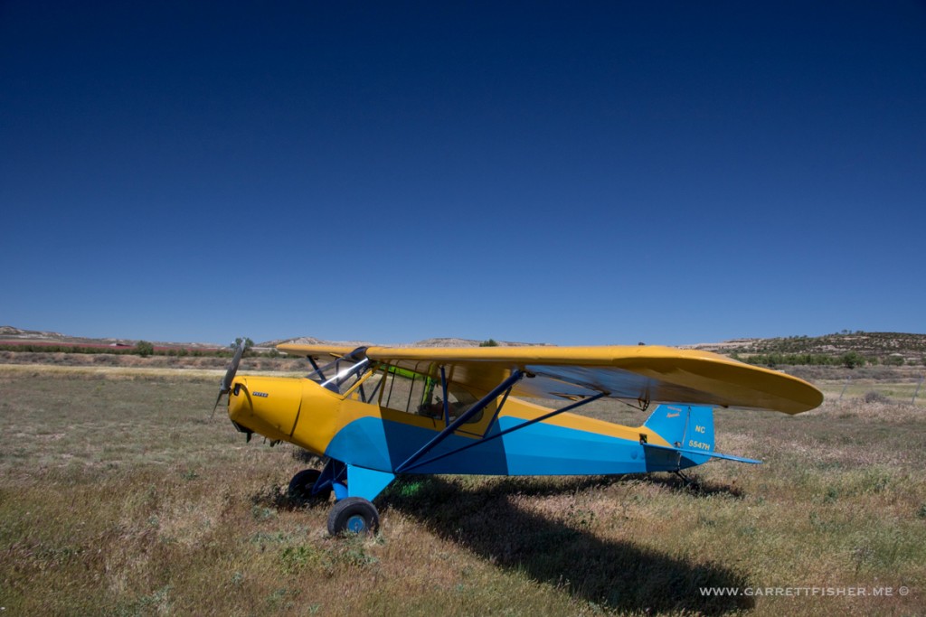
Starting the circuitous path home.
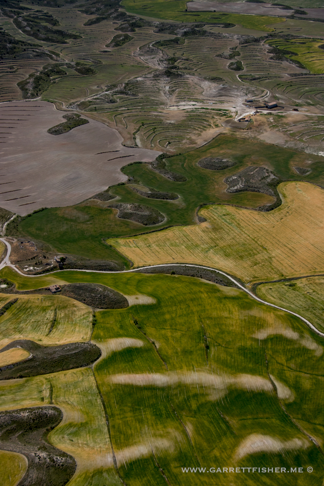
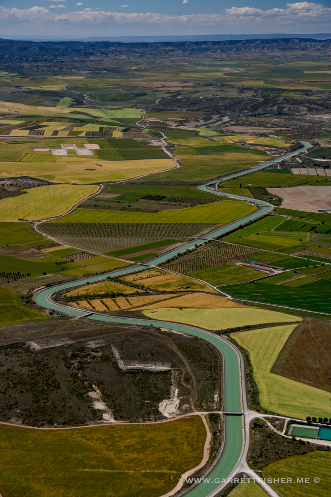
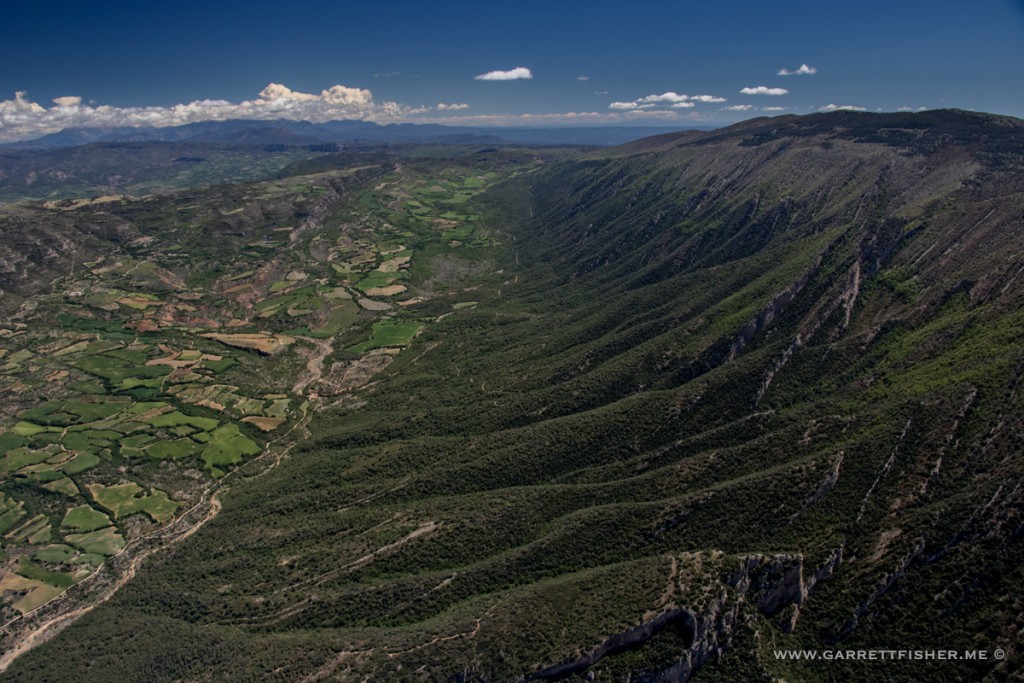
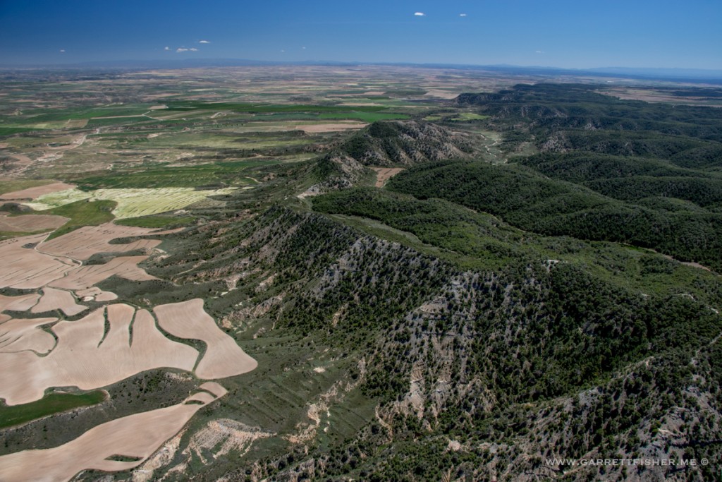
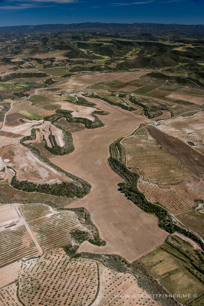
It was strange that scenery alternated between Spanish surrealism to something out of Idaho……or Texas.
Peach orchards in the foreground. Alcanadre River in the background.

Did someone paint these fields? The colors were really something else.
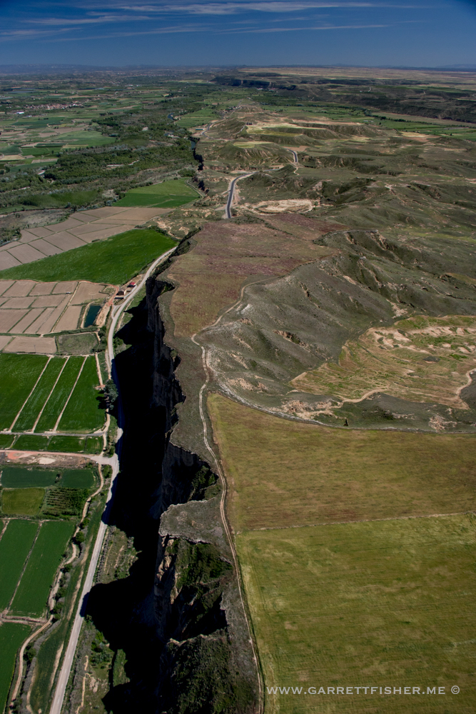
Cliff before the Cinca riverbed.
A-2, between Cervera and Igualada.
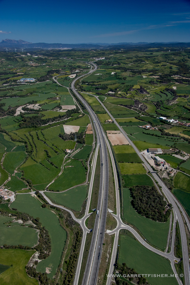
Near Calaf.
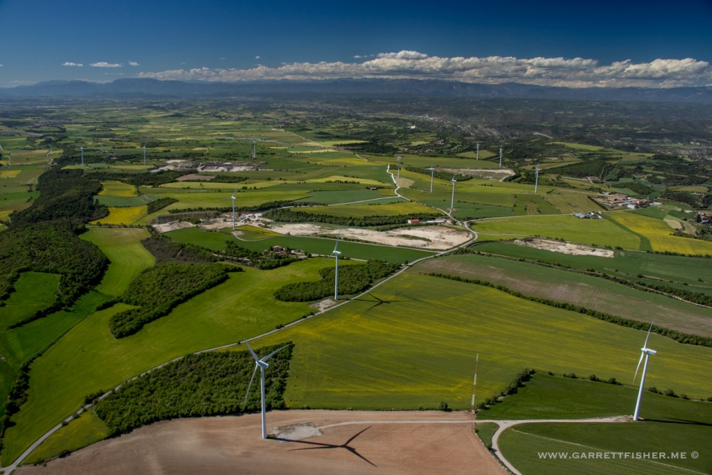
Beginning the slow ascent toward home.
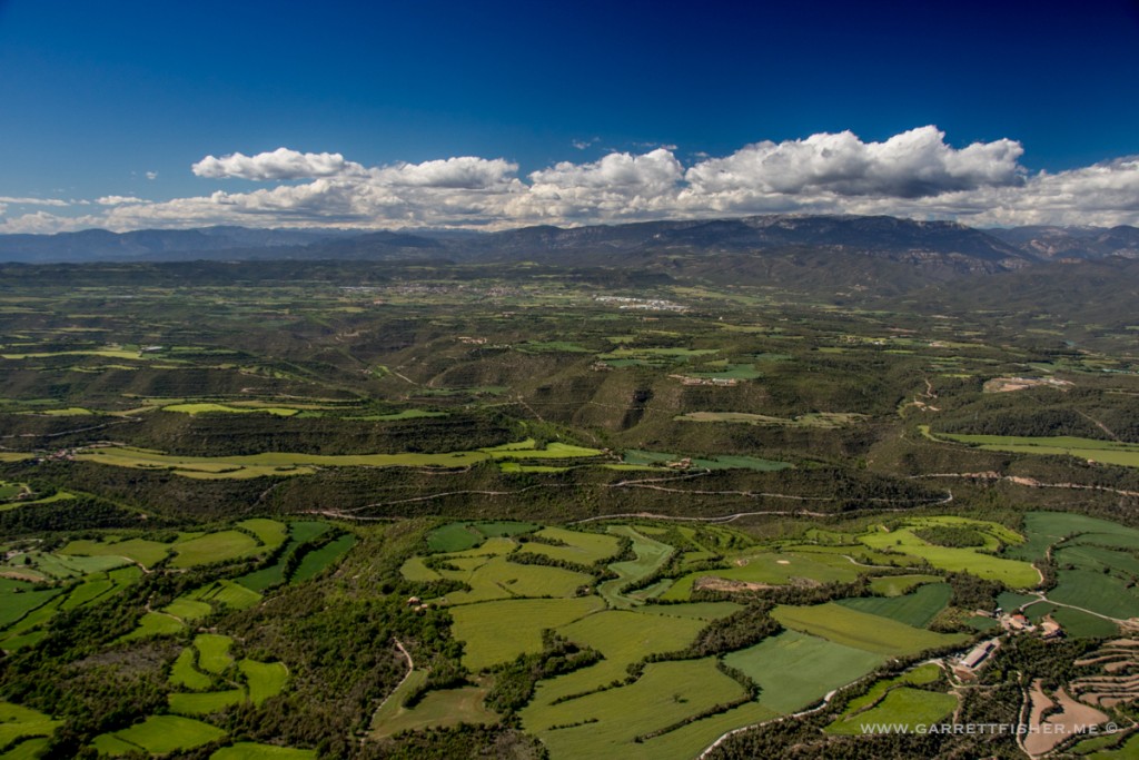
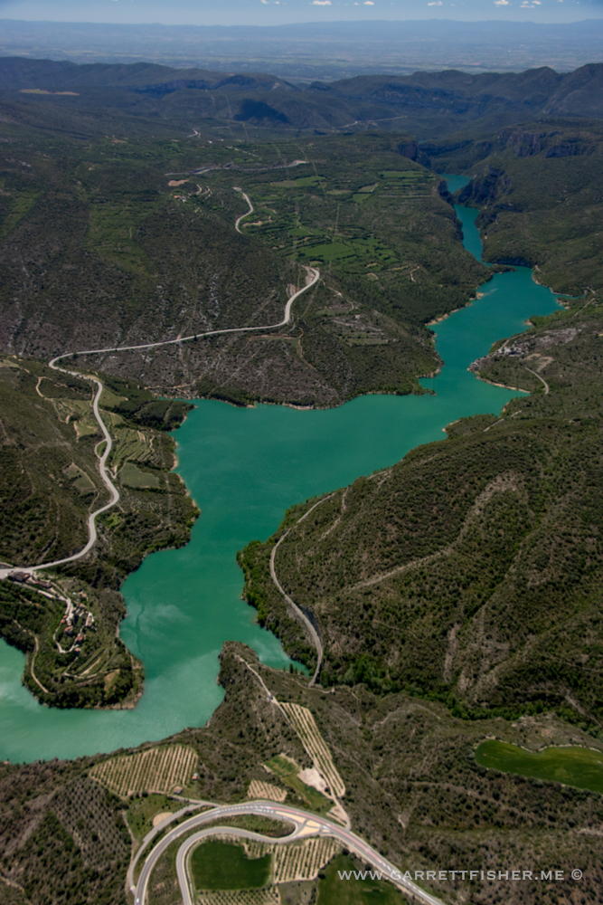
Pantà de Sant Ponç
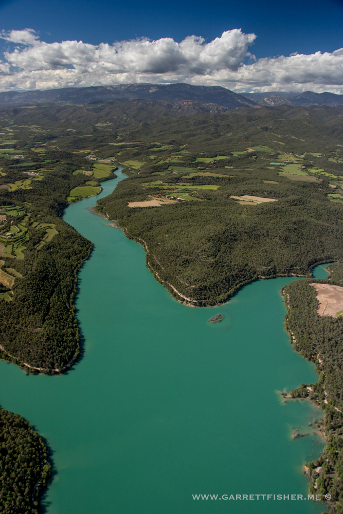
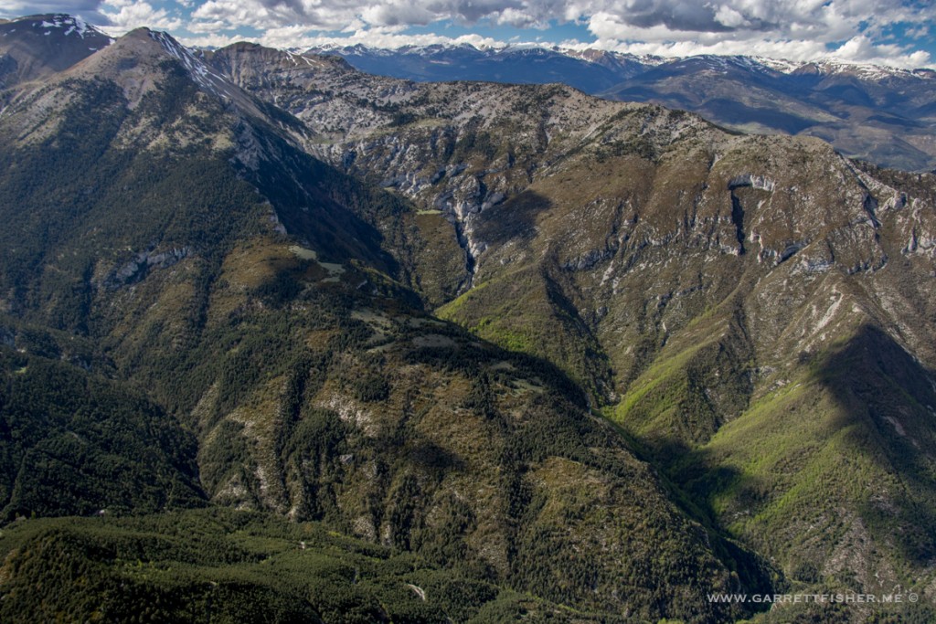
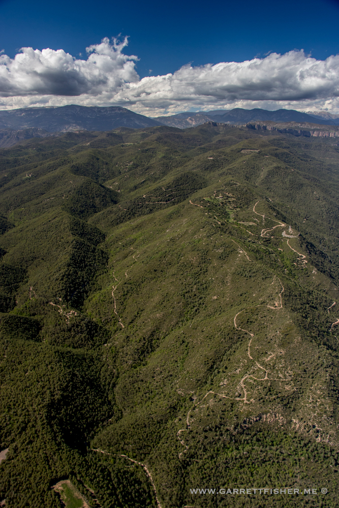
Ascending the Pre-Pyrenees
Cadí-Moixeró, before crossing into La Cerdanya.
