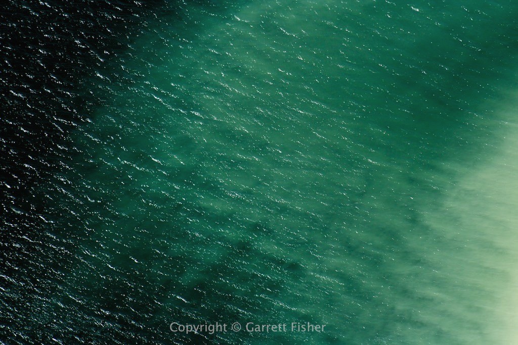
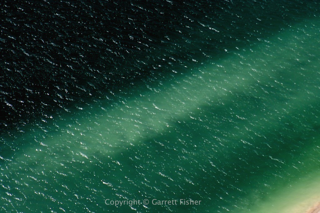
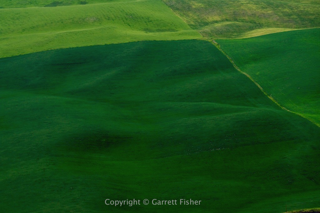
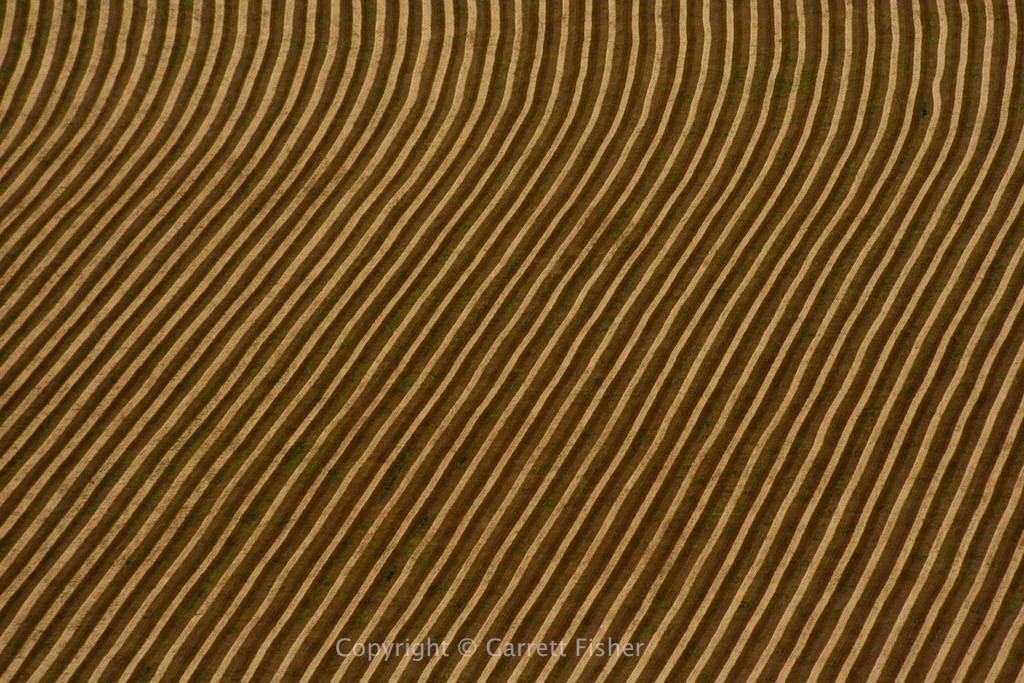
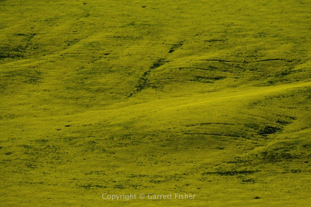
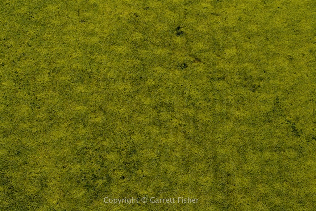
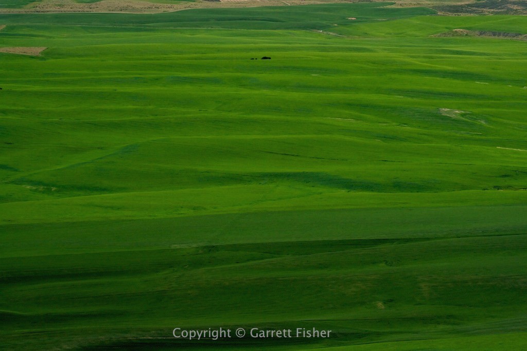
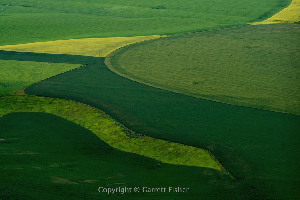
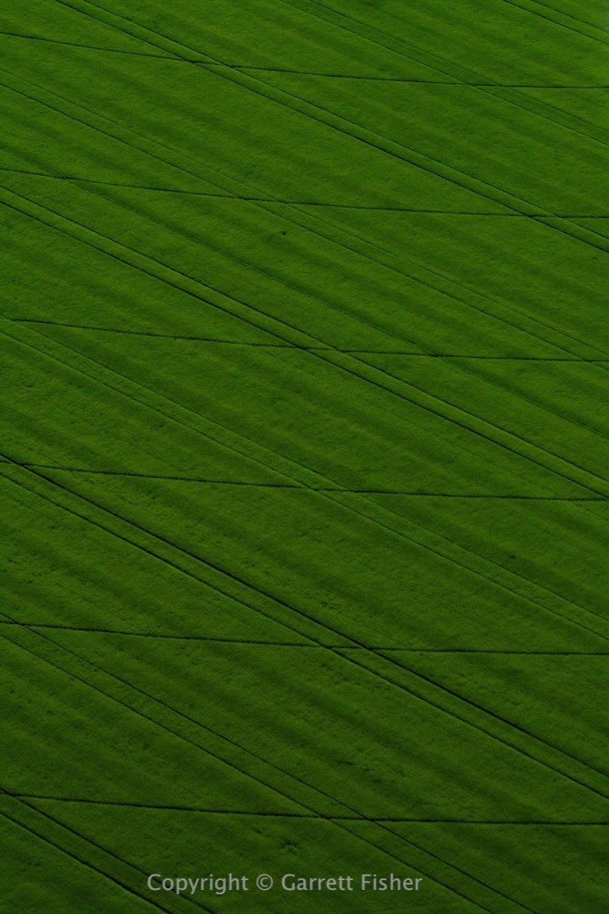
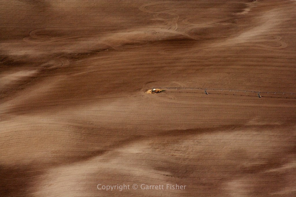
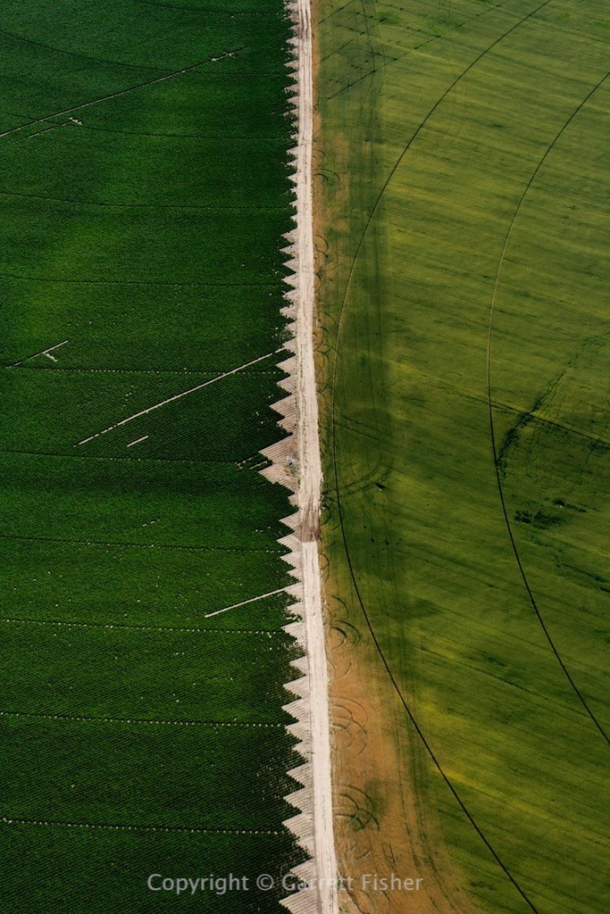
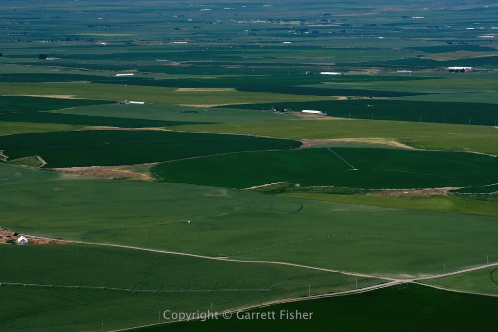
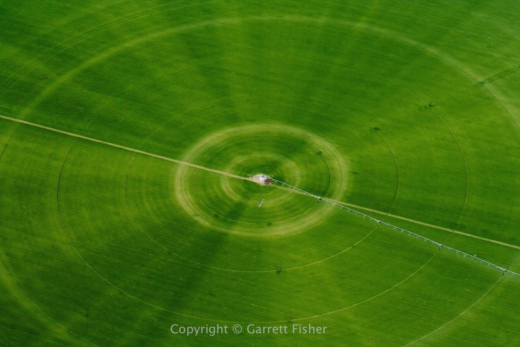
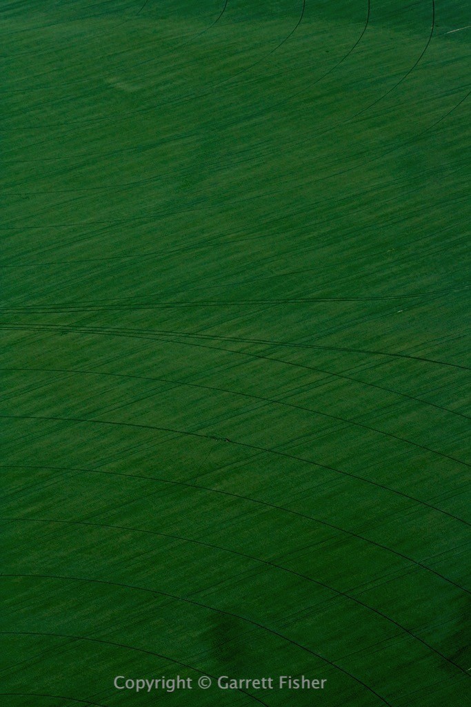
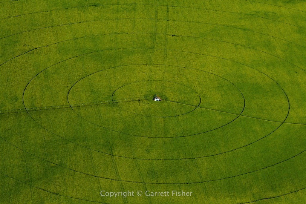
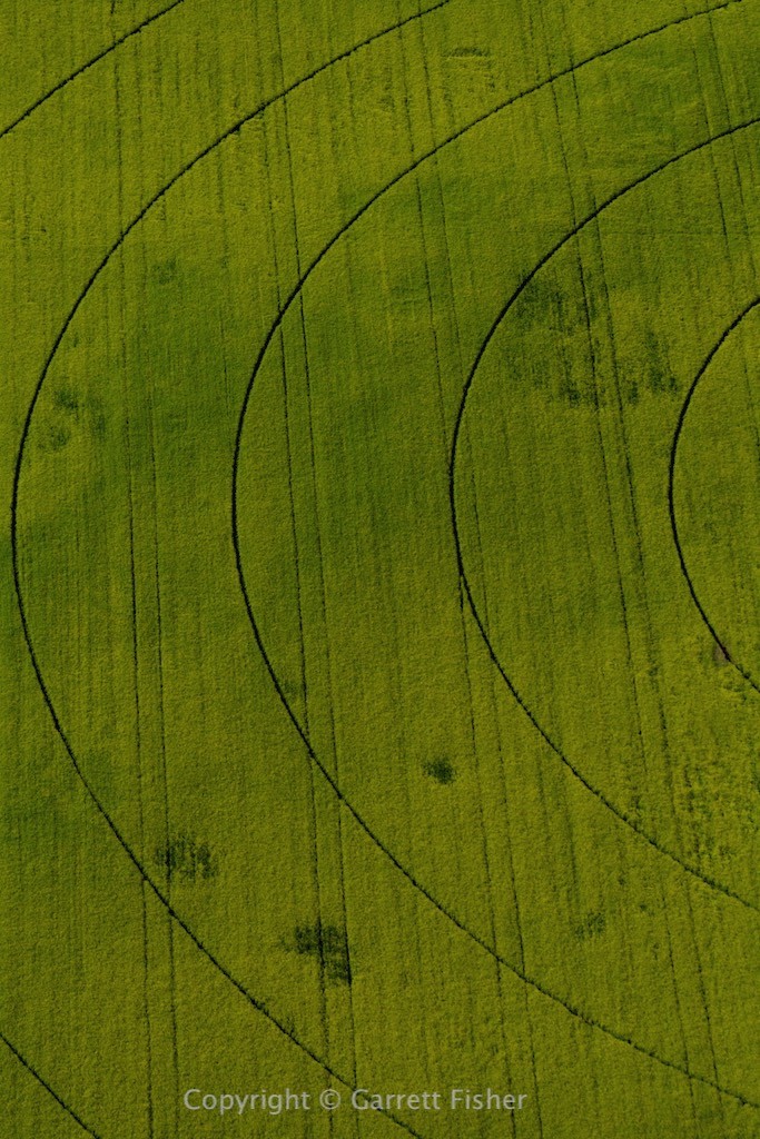
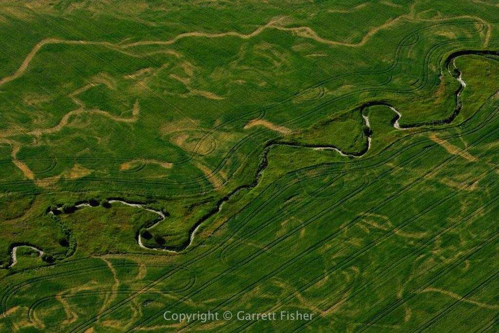
You could call this one “fun with a zoom lens.” The haze just keeps on going around here, and to my dismay, that is a rather normal summer thing. Eventually I figured out that haze is not a factor when photographing things 1,500’ to 2,000’ vertically below; thus, I decided to wander over to the Snake River Plain in Idaho and get some farm field photos.
The Snake River Plain has an interesting history. 2.1 million years ago, the Yellowstone hot spot showed up. It stays in one spot, and this section of the tectonic plate I am sitting on moves to the SW. So, after various super volcano eruptions smash the crap out of everything around the then existing Yellowstone hot spot, the plate moves on, carrying the flat land to the SW. This feature is a few hundred miles long, from Boise, ID to Yellowstone now. If you look at a terrain map of the Intermountain West, you’ll find most of the place has north-south mountain ranges, one after another. Well, except for the Snake River Plain. Yellowstone thankfully blew them to smithereens, opening the path for Pacific moisture to wander in and dump prolific amounts of snow on Alpine, WY.
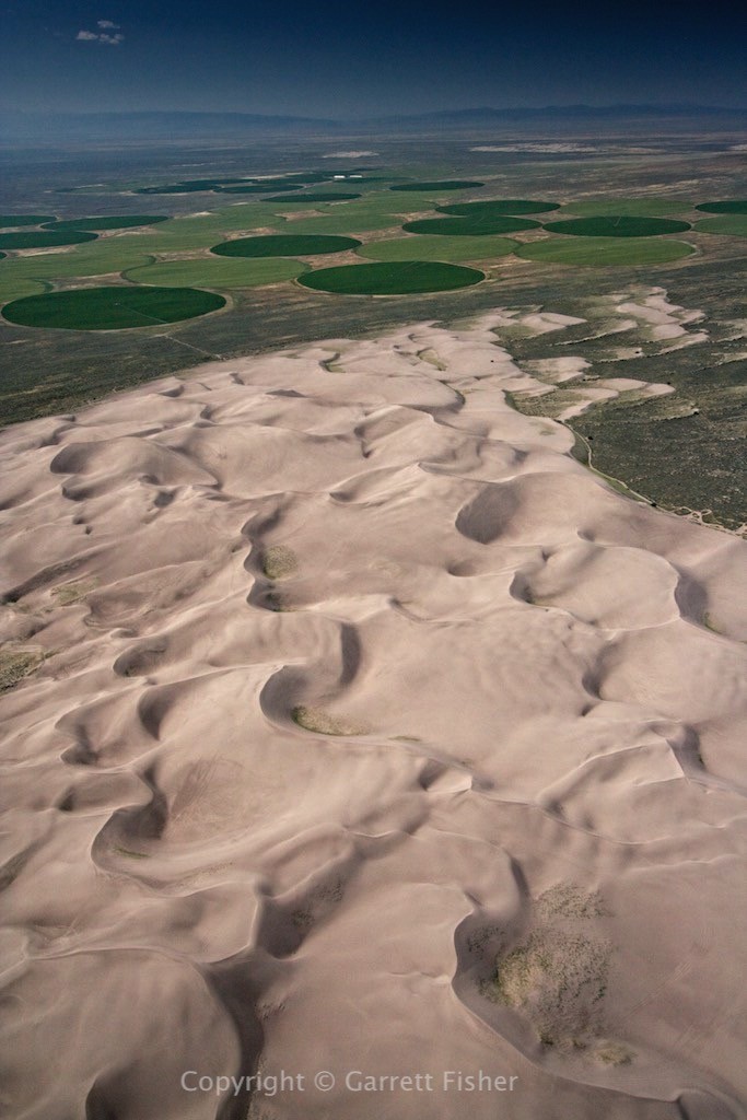
The other thing it does is make flat land for agriculture. I must say, the fields were absolutely incredible. I eventually wandered over to the St. Anthony Sand Dunes, which are hundreds of feet high and sit next to verdant fields, a dystopian duality that makes for interesting photographs.
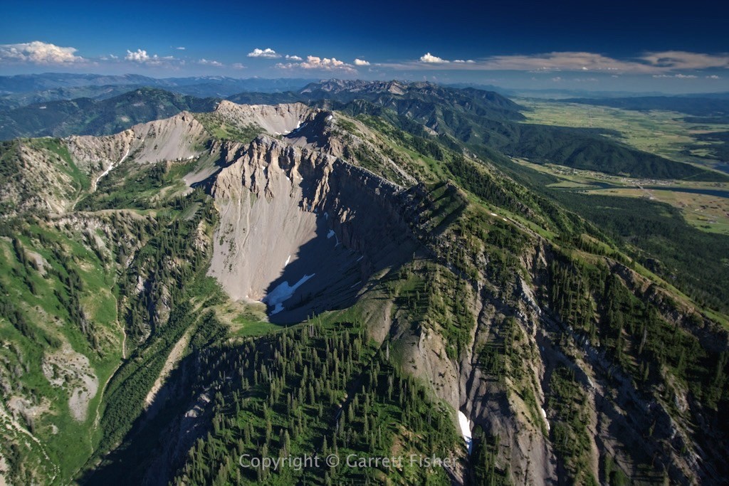
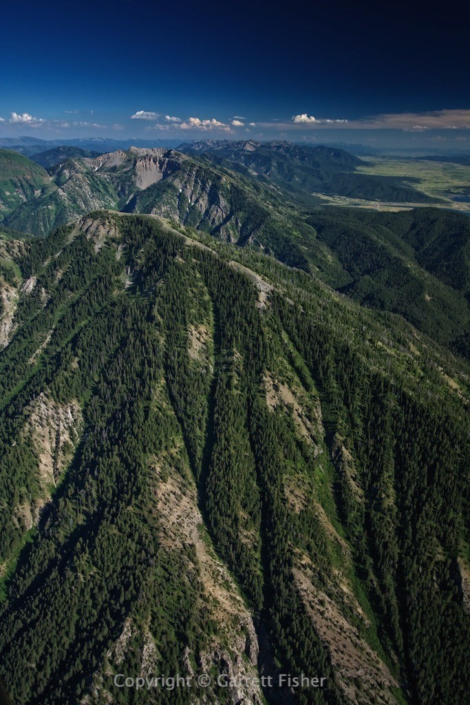
On the way home, I got some free lift courtesy of a light SW breeze against the Snake River Range, so I went down the spine of it, getting photos of the backside of the peaks, lit up by sunlight due to late time of day as well as being so close to June 21, where the sun sneaks to its farthest north point for the year.
Snake River Range – Sizable landslide
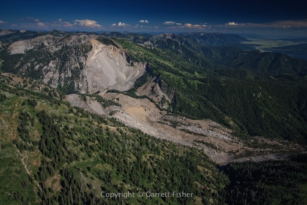
NW Side of Ferry Peak – Alpine WY center right, Star Valley on the right
