You’re probably wondering why I would take a flight of such great length, at such great expense, and with such a high deal of aggravation. Well, it’s the flight to move the aircraft to Spain, as that will be our new home.
“Didn’t you just move to Germany?” Yes, we did last winter, and two factors conspired: the family that owned the house in Germany needed to move back in, thus we could not rent it any longer, and I reached my tolerance of German rules when it comes to aviation in mid-May. It was one of those quietly decisive and powerful moments, where I became aware of yet another senselessly silly and costly regulation from the Fatherland, so I decided to make the best of an unfortunate need to move so soon and find a place better suited for aviation.
I will be diving into greater depths behind the differences in aviation for each country and why another airport in Germany would only partially solve the problem in a post for AOPA. For now, understand that the Spanish are laid back, the place is beautiful, I speak Spanish, and its only €20 per month for unlimited landings at my new home field, instead of €7.98 each time!
The actual physical move was much more unpleasant than moving around the United States. I owned a pickup and a large trailer on the west side of the Atlantic, and I knew the exact cubic footage of everything we owned: 527. Now? I had to rent a van (and do so a month in advance, because nothing in Germany is last minute), and I had to get it right, even though there were many additions and subtractions to our possessions. We ended up leaving a set of dressers and playing the longest game of adult Tetris in my life.
Next up was the 14 hour drive through France, unload the next day, then drive it back to Germany. There are no one-way moving van rentals in Europe (kind of ironic, don’t you think?), so it was 12 and a half hours back to Germany. The next morning, the weather was just doable to fly the plane south, which was fantastic, as returning to Spain, only to return to Germany, only to return to Spain would have been stupid.
Much like my continental crossings in the United States, the weather turned out to be worse and incorrect, something I discovered in flight, and it made for loads of interesting fun.
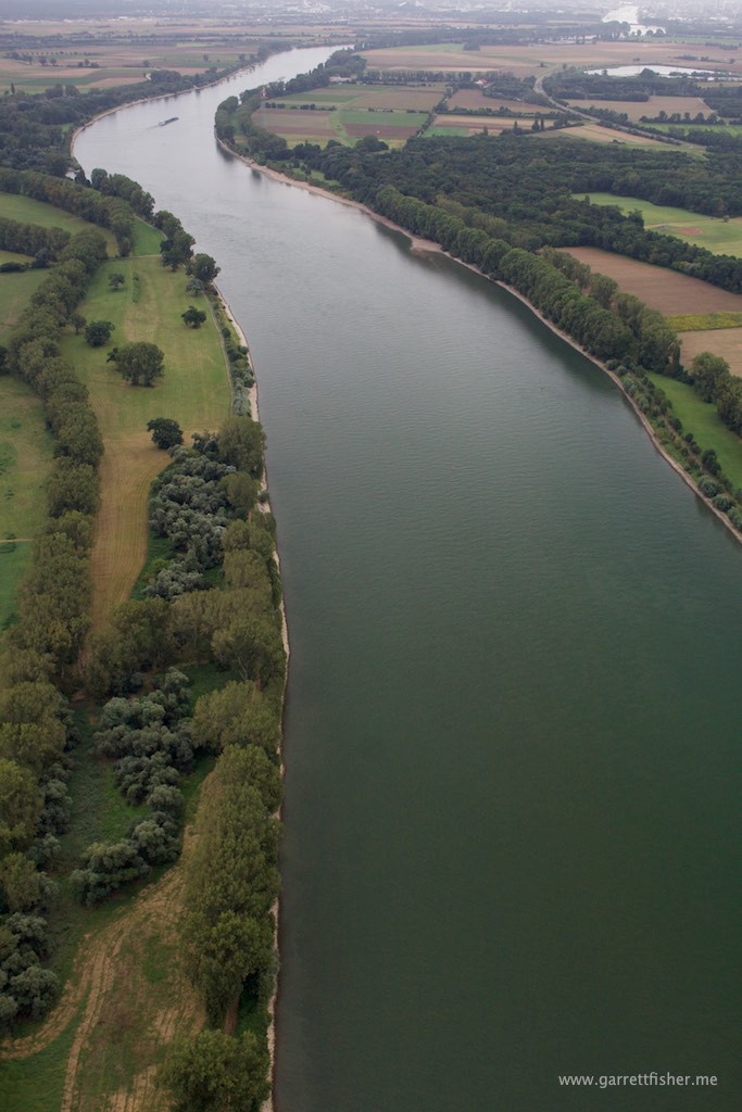
The flight to the border of France in the Rhein valley worked out good (do I call it the Rhine, der Rhein, or le Rhin?). I had to scud run in Class G visibility due to some rain showers, with flight following in Germany and France, due to the border crossing. Eventually, the air cleared up west of Strasbourg, and I proceeded to my first stop under overcast skies and good visibility: Colmar, France.
The first thing that I noticed was that the tower controller allowed American-style point A to B movements. I was coming from the north, so straight in for runway 19 approved, no rigid goose-stepping in the pattern, flying arbitrarily and precisely over a circuitous path on a map. Fuel was uneventful and the French were quite helpful with my wandering confusion. The Germans had made clear that the French are nothing short of a pain in the ass, and I found that they were really nice and seemed to enjoy aviation, whereas Germany seems to as a nation be waiting for the slightest excuse to ground aircraft.
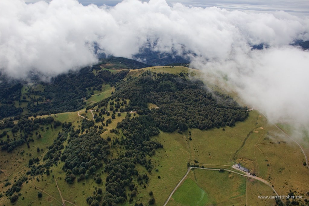
The weather to the south of Colmar was menacing, as depicted on radar: the remnants of a low pressure system slugging southeastward over the Jura Mountains that border Switzerland and France. I opted to head SW over the Parc Naturel Regional Ballons des Vosges, a mountain range exceeding 5,000 feet in elevation. For some reason, the clouds appeared clearer over the mountains versus trying to cross the Mediterranean-North Sea Continental Divide at a much lower elevation. Crossing over the ridge, it was so-so, therefore I opted to turn south, then southwest, and tried going back under the clouds. Nope, too low. Climb back up and head west, and the clouds were forming a bit of a wall over 10,000 feet in height, so I hopped on to Bale Information, requested flight following, and slalomed around clouds as I turned NW. Bale quickly handed my off to Luxeil Approach, who was extremely helpful, even calling a few small airports to get ceiling conditions on the ground. The entire time, I could see the ground and could turn around to land at a few ultralight fields if I had to.
It was a very interesting experience to not have radar in the cockpit, and to ultimately know little about where I was on the planet. Sure, I had GPS, so I wasn’t lost, it was just that it was the first day ever flying in France, and my weather fixation couldn’t be satisfied like it could in the US. I am the guy that reads 3 page forecast discussions to entertain myself, to know the 15 factors as to why it’s sunny today. In La France? Not happening. TAFs, METARs, radar, satellite, flight service, and using one’s brain. It was a sort of domain agnostic approach, turning the land I was flying over into a professorially generic patch of ground and reacting accordingly. I could presume little except that terrain rose to the left, that weather was moving right to left, and make decisions based on what I saw.
Heading northwest now to avoid weather, I descended around the clouds over an airport reporting 1200 foot ceilings, and then turned southwest noting declining ceilings to my left, and better to my right. The weather system had been coming in from my right, and I was really trying to turn south to my left. That meant that things ultimately were improving, just not where I was going. I was paralleling the border of flyable weather, roughly heading in the direction of where I needed to be, my original plan now completely mashed to bits. This is, of course, why I think the idea of flight plans is more stress than its worth, as reacting to dynamic changes in the air now runs afoul of a previously made plan. In my case, I only had filed a flight plan for border crossings, so that turned out ok.
I transitioned to VFR, terminating Luxeil’s radar service, flying at 800 feet above the ground, cruising along over French countryside. Eventually, the foothills of the Jura Mountains were showing up, as was a lower ceiling picture. I opted to land at Gray, France to see things through.
Two hours later, I tried again, and the route to the south was better. Gray had no fuel, so I landed 30 minutes south in Dole, France, at a towered field to fuel up. Yet again a Ryanair destination, I cringed at what the fees would be, and it turned out to be obscenely cheap compared to Germany: €11 landing fee and fuel that was 25% cheaper.
I considered spending the night, as the ceilings were just messy. I waited with two Luxembourg registered aircraft, pondering if they should file IFR or not, or if they could even make it back home to the Grand Duchy of Luxembourg. I was just concerned if I had 800 feet ceilings or not to the south, and I couldn’t get much in the way of reliable weather other than a few METARs to the south. Things were better over Lyon, and Valence looked like a good place to spend the night.
I finally decided to make a go of it, with the proviso that I could turn around and land if need be. Taking off, things were better than before, so I proceeded straight south, clearing the mucky weather and low ceilings about 40 miles away, settling into the Rhône Valley with the Pre-Alpes to the left, and the Massif Central to the right, both shrouded in low ceilings. I opted to clear the Lyon area, France’s 5th largest city, by skirting to the east of Saint Exupéry Airport. I recently learned about Monsieur Antoine de Saint-Exupéry, and I think the guy is someone to look up to. While flying for Aéropostale, he used to both read and write novels while flying, only to end up getting lost due to his focus on literature in the cockpit. Sadly, he expired due to a plane mishap off of Marseille. Perhaps that part shall be left out. Nonetheless, he is a national icon of France.
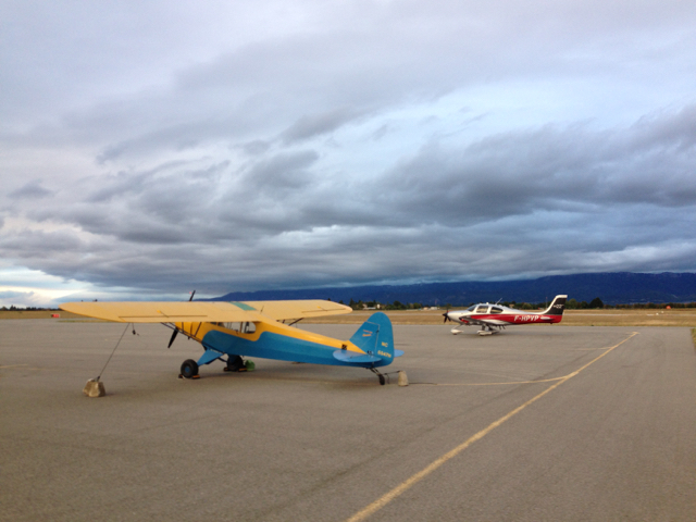
Passing over the ridge between Lyon and Grenoble Chambery Airport’s control zone, the wind began to pick up, and true to form, Le Mistral was blowing as I landed in Valence, France for the night, winds at 20 knots or so out of the north. I had to find some blocks and cut an extension cord I use for charging the airplane battery to tie the airplane down, as no one was on site, and there were no tie downs. Le Mistral is a famous wind of France, funneling like a venturi from the northern part of the country, down Le Rhône, and out to the Mediterranean Sea. In effect, the Pyrenees, Massif Central, and the Alps attempt to block the westerlies, and there are two low elevation outlets where the wind blows with an unholy fury. Tomorrow’s flight would prove that reality.
I finished the day eating some glorious French food at the hotel (when in Le Rhône, do as Les Rhônians – that is probably not a French word) and thought to myself that the flight of the day was the craziest I have ever done. It wasn’t so much being in a dangerous situation, it was the newness, ambition, workload, surprises, and amazing scenery that did it. Certainly, it didn’t come anywhere near other flights in length, and yet I wonder now whether it was this one or the next day’s that was the craziest.
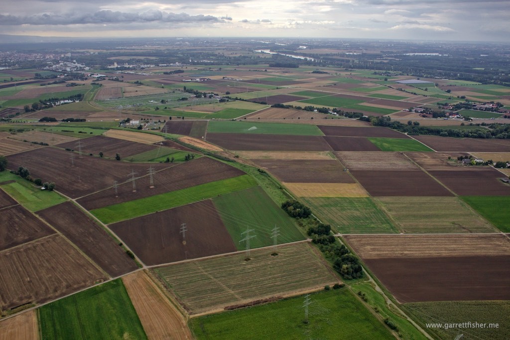
Quilt with Pfälzerwald in the background.
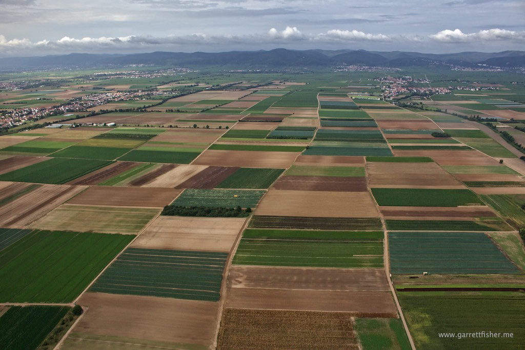
For crappy weather, these photos are turning out very nice! Vineyards in the left upper section of ground.
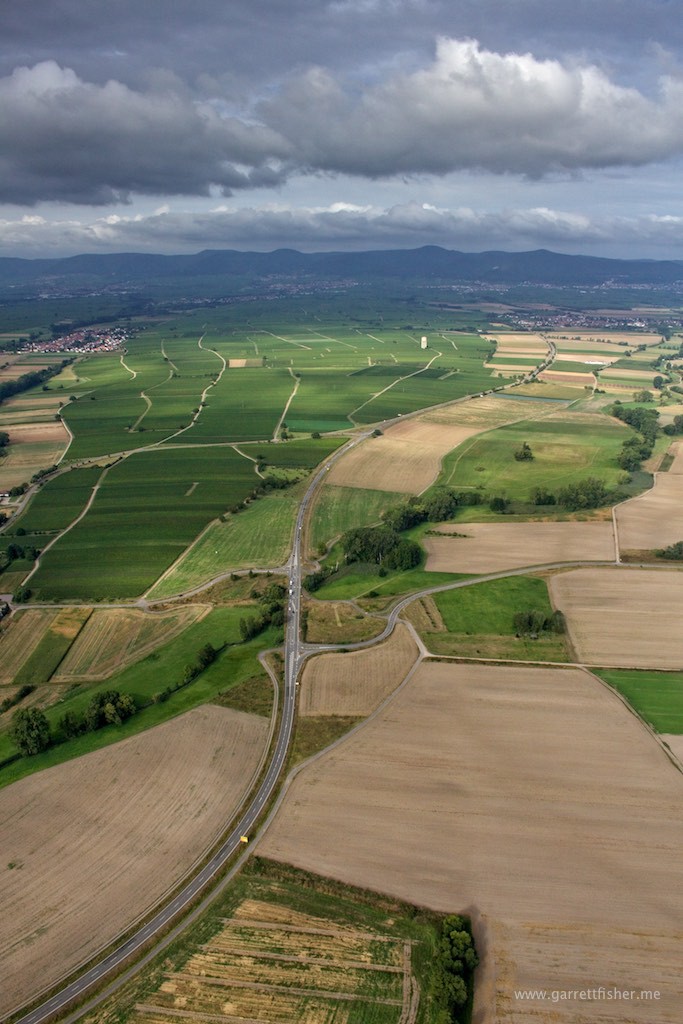
Menacing beauty. I am not sure if the weather or presence of Germans on the ground below is more fear inspiring.
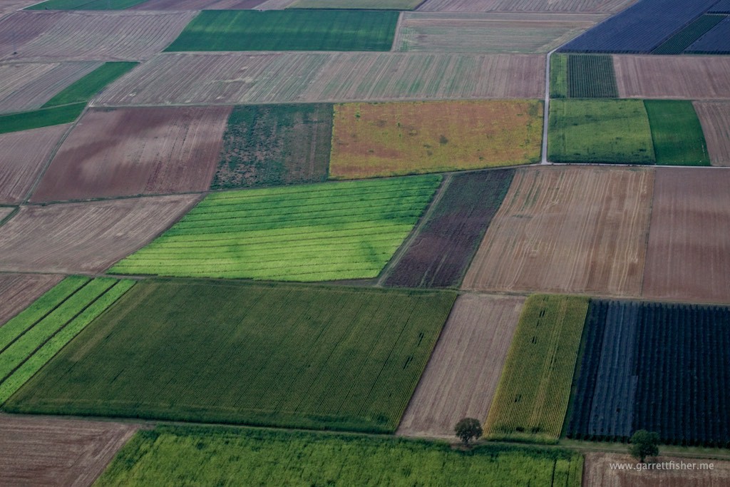
These colors are not doctored.
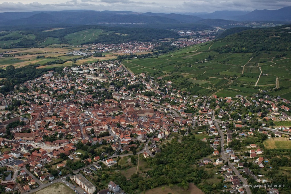
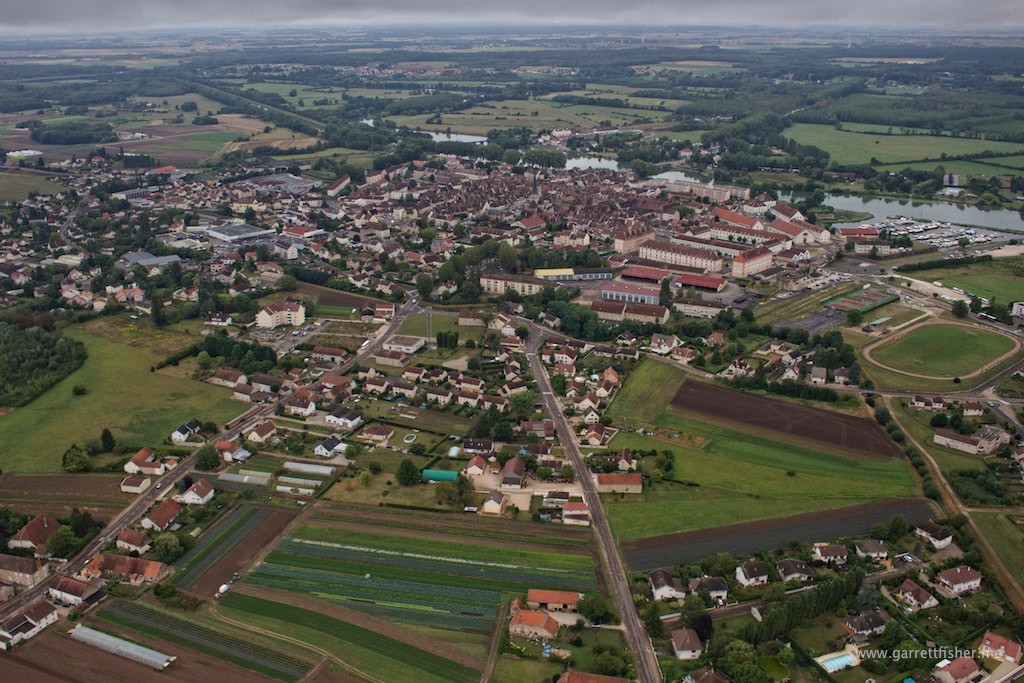
Wissenbourg, France. Border to the Fatherland on the hill on the right side of the image. Bon Jour Region Alsace!
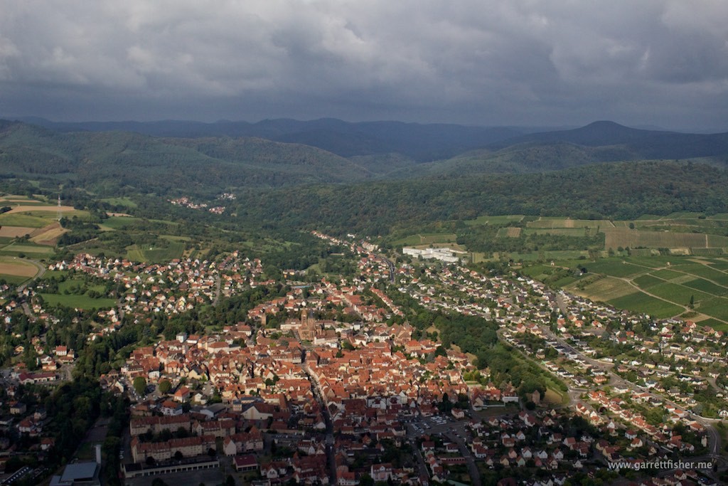
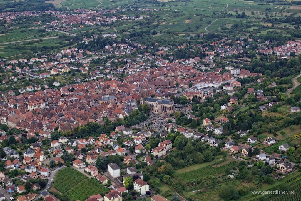
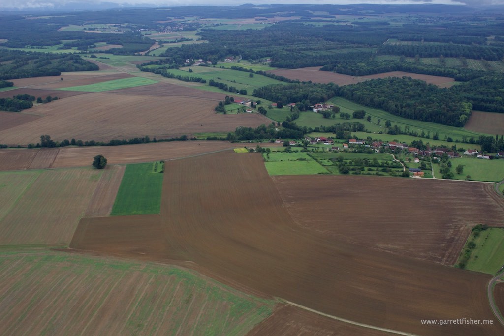
The Alsace Region of France used to be part of Germany until WWI. The French have kind of let the place go compared to the Germans. Look at all of those misplaced trees.
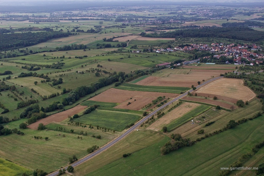
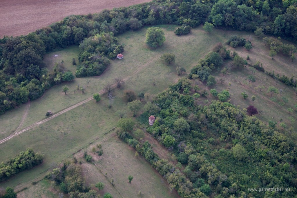
Notice the cylindrical object in the center.
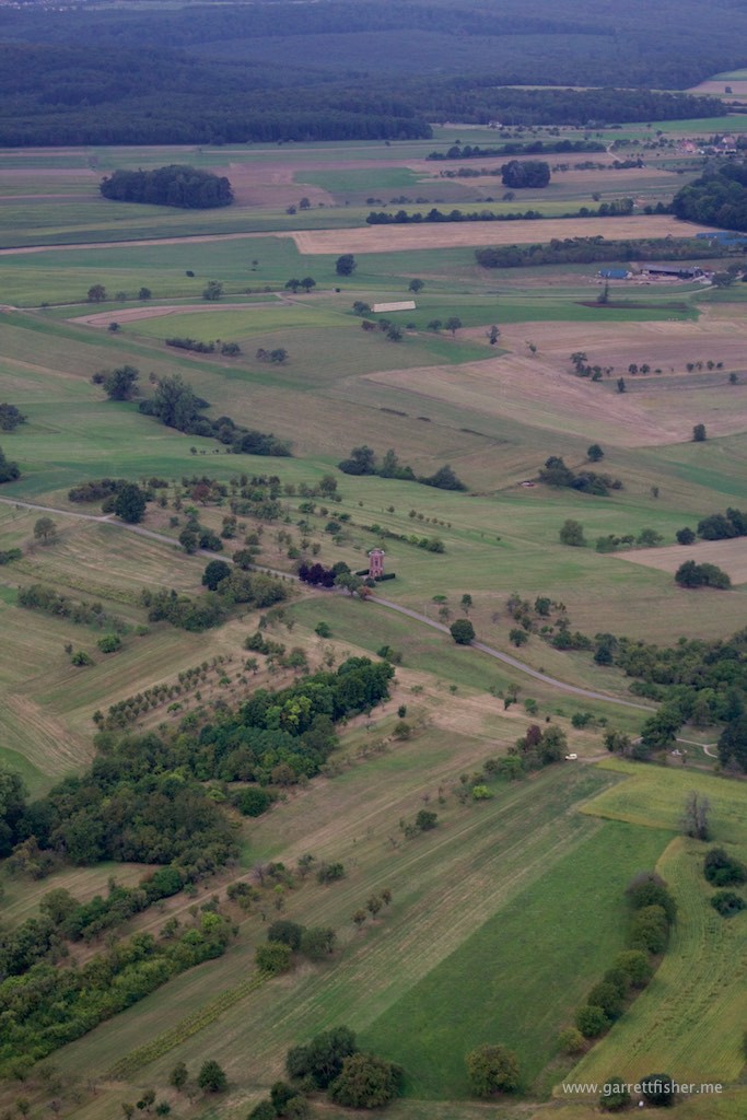
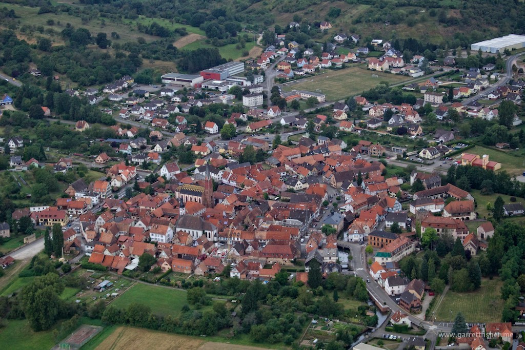
Pfaffenhoffen, France. It took me 30 minutes of browsing Google Maps to find out where the heck this image was from. The tall cylindrical object in the center was by chance, noticed only after reviewing images.
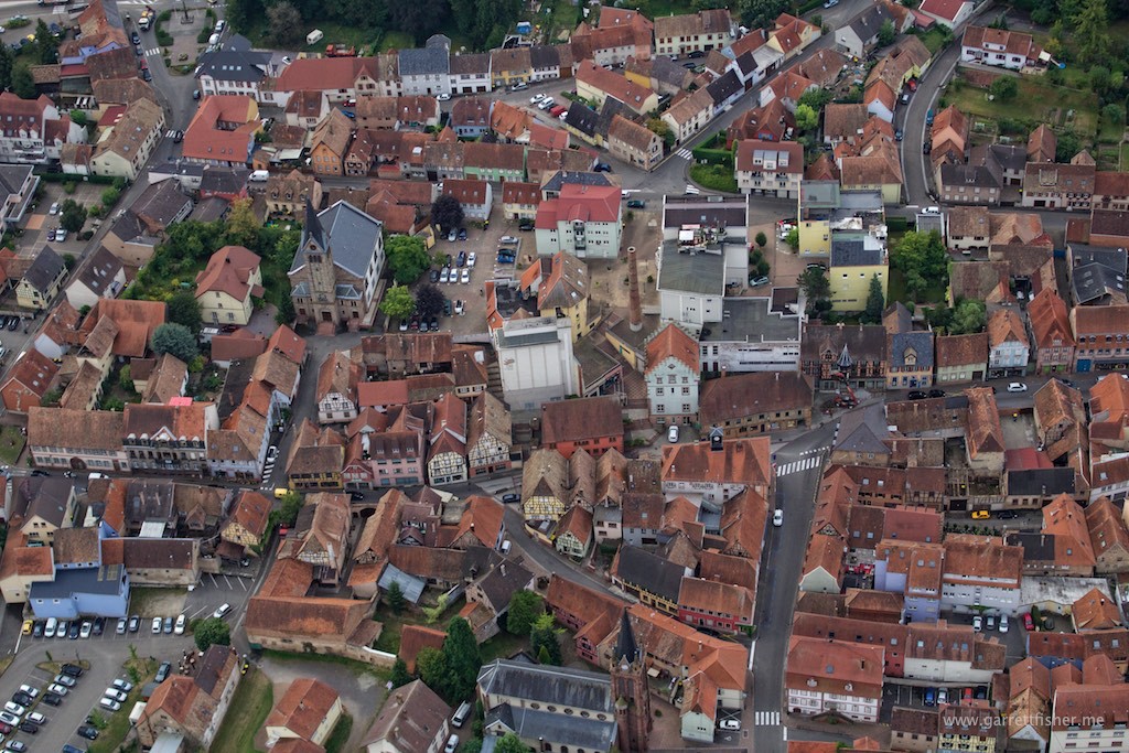
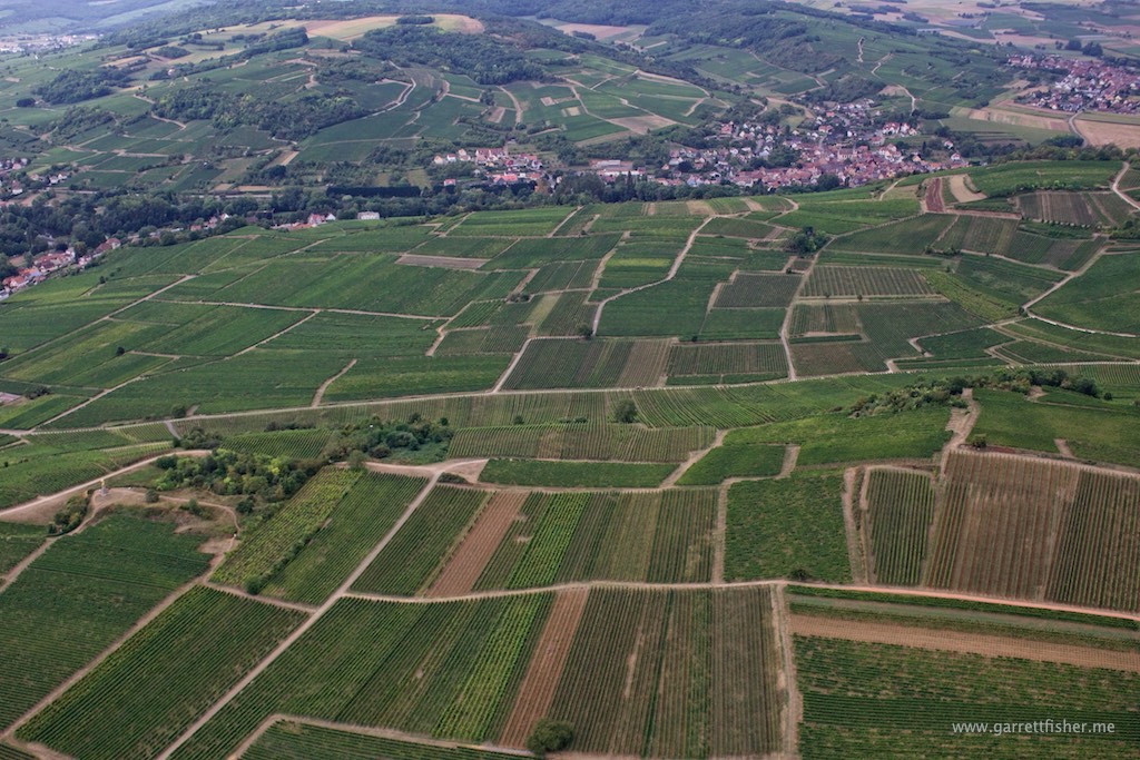
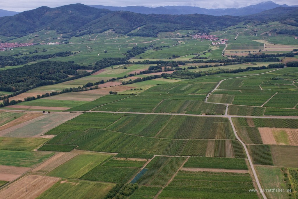
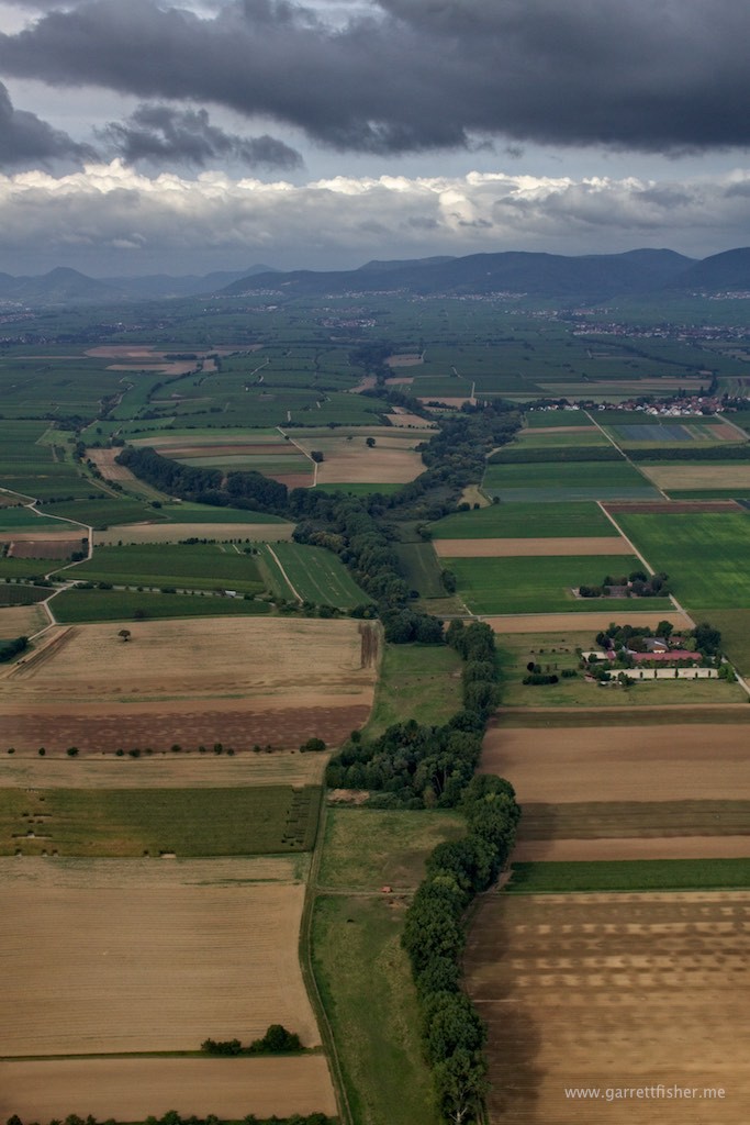
Nordheim surrounded by vineyards. Weather is improving slightly.
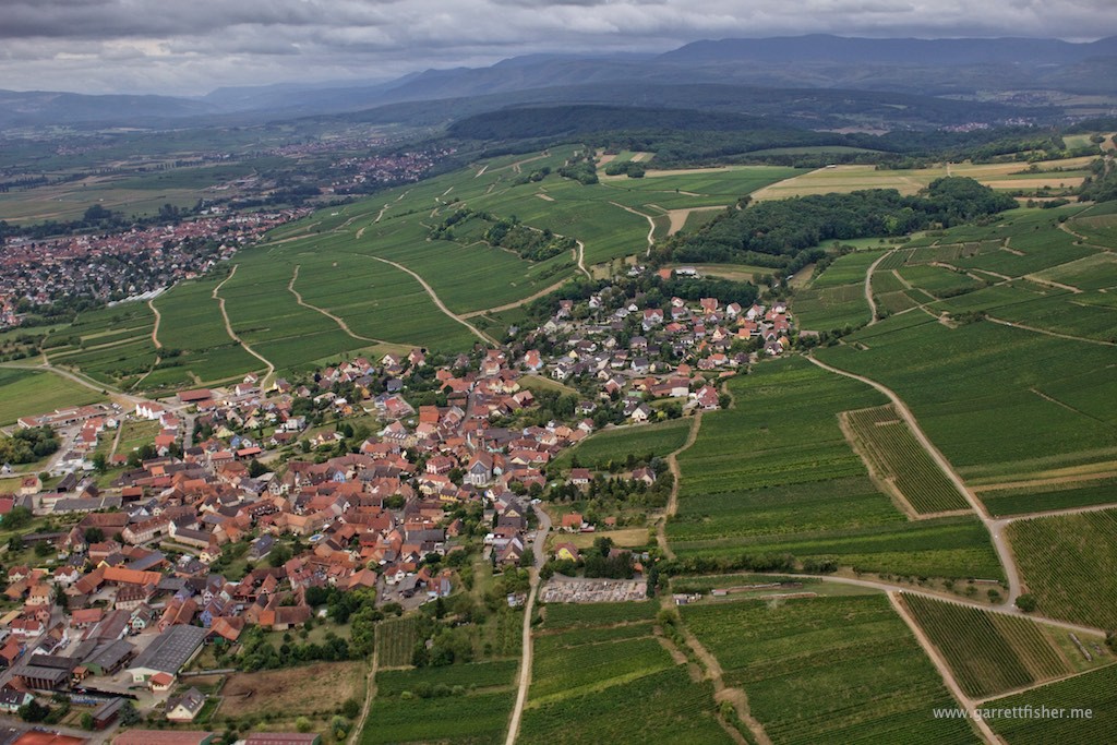
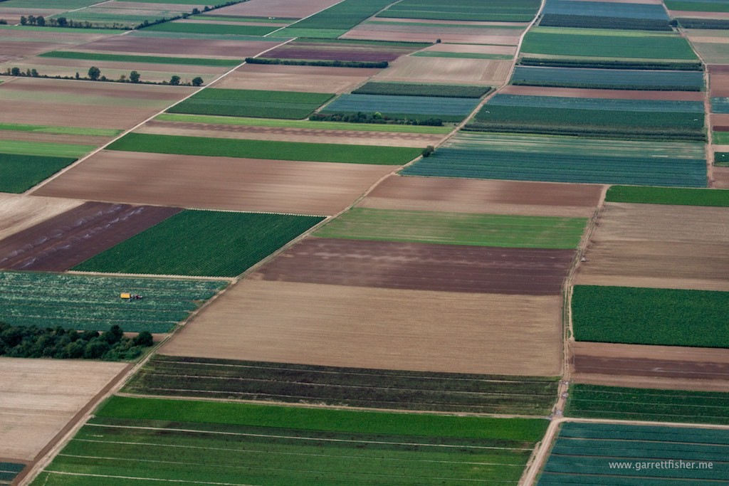
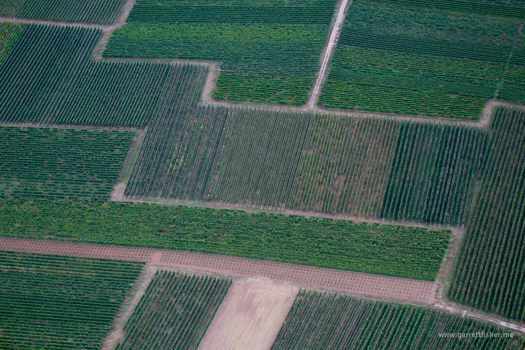
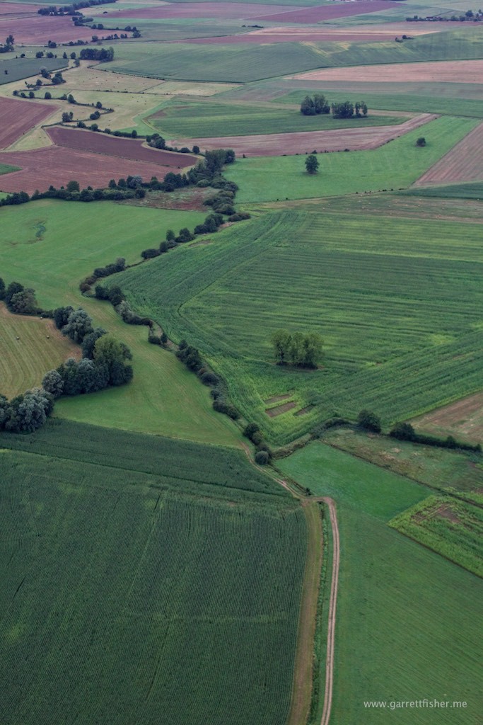
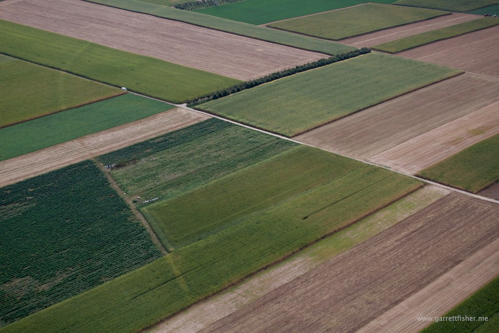
French Alsatian quilt du agriculture.
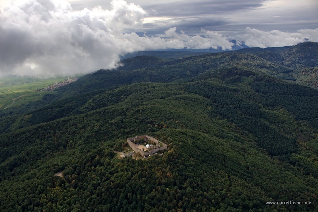
Ballons des Vosges. Cruising at about 5,500 feet, wondering what is over those clouds.
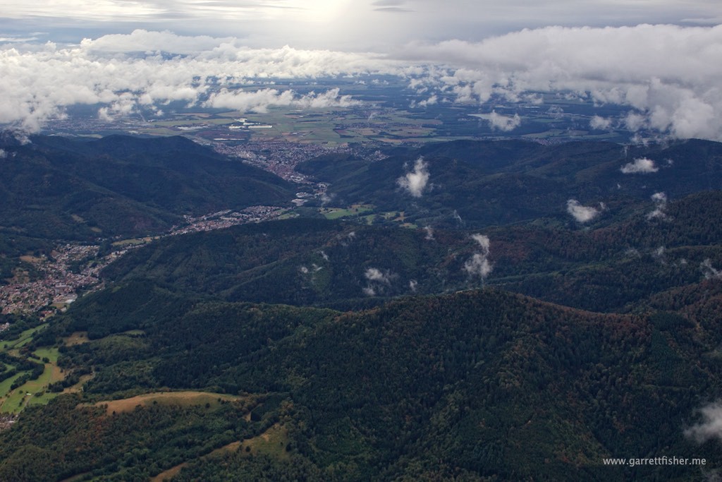
Looking south toward menacing weather toward the Jura Mountains.
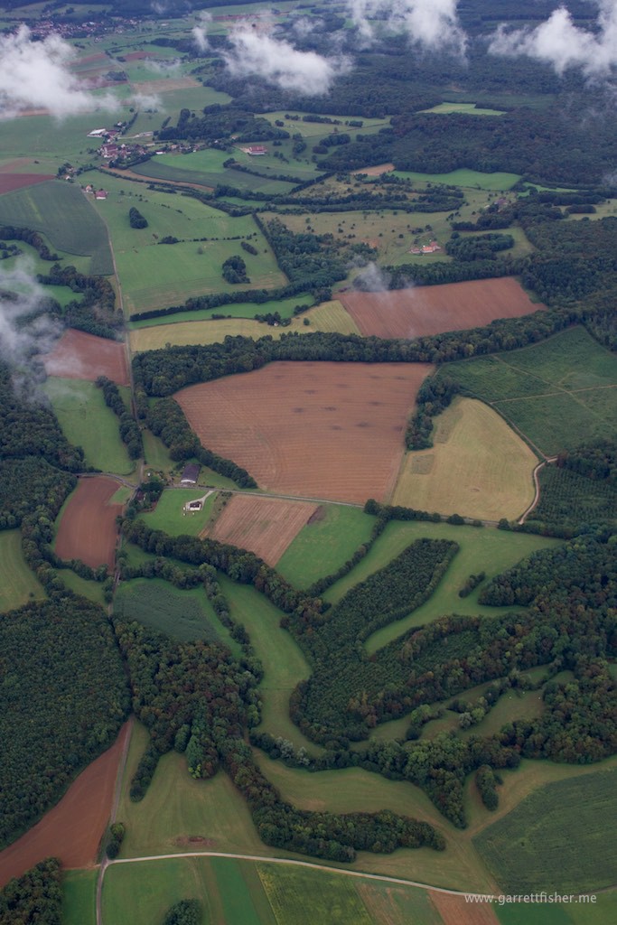
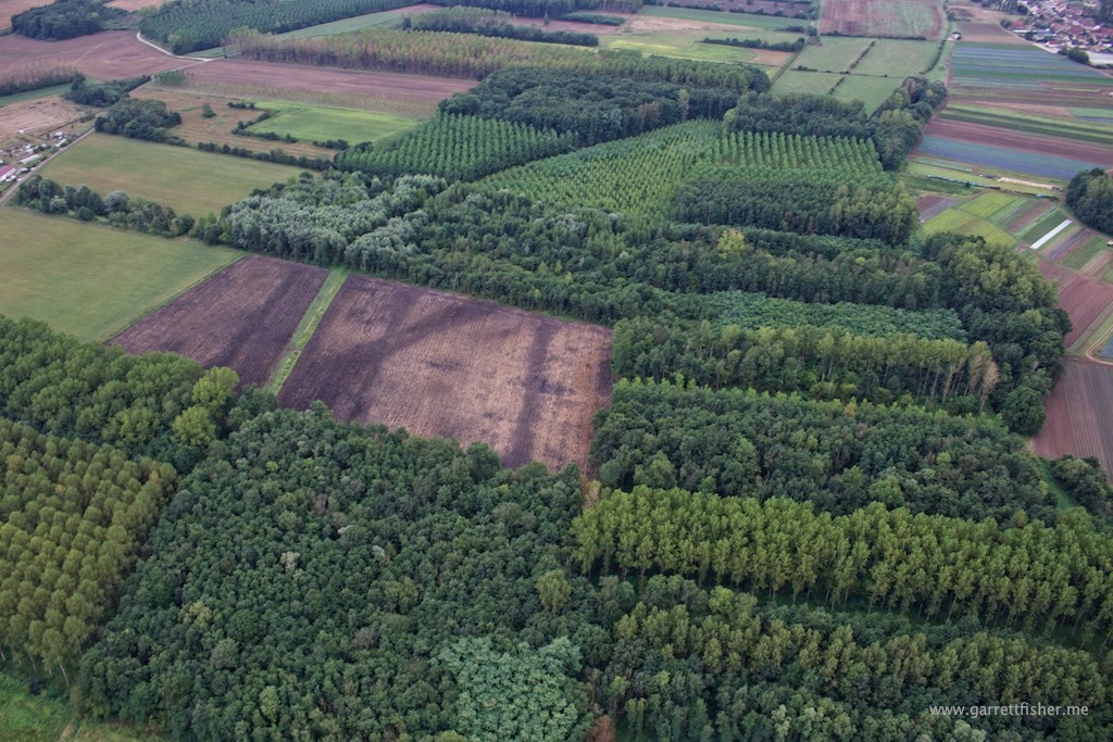
Enthusiastic French quilting, south of Dole.
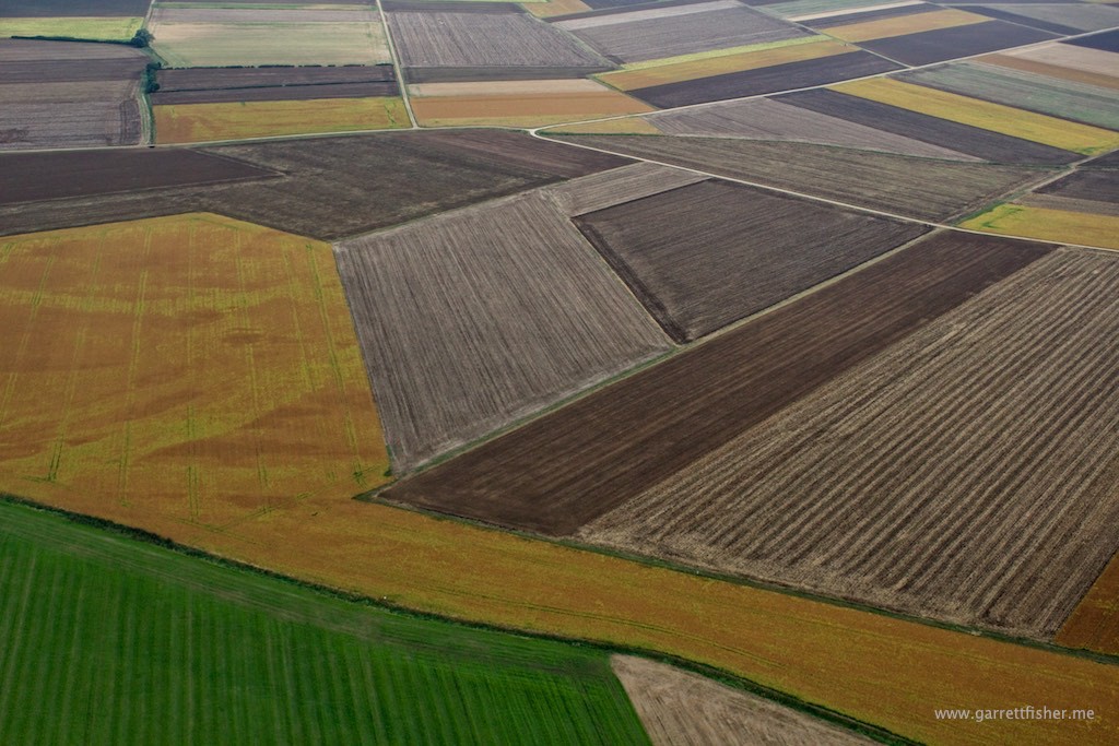
Weather finally beginning to improve.
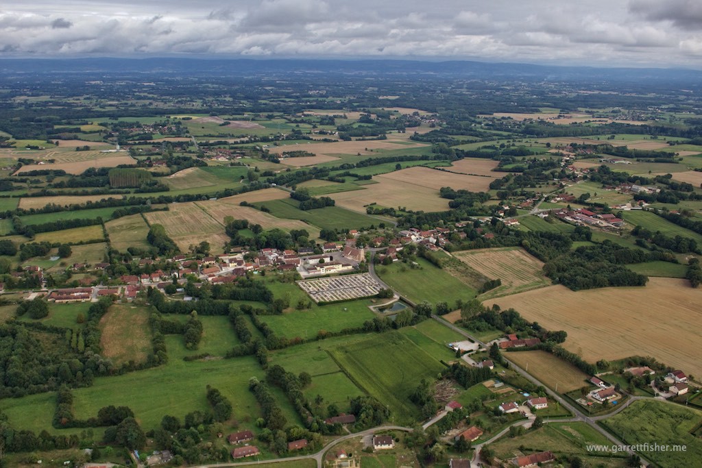
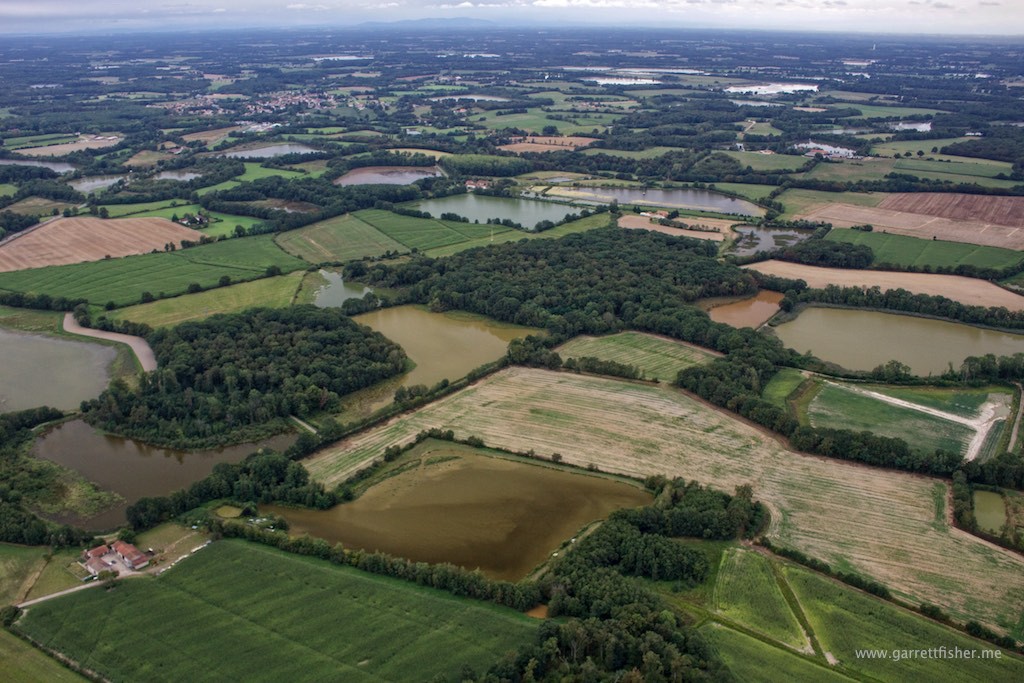
Interesting choice of home construction sites.
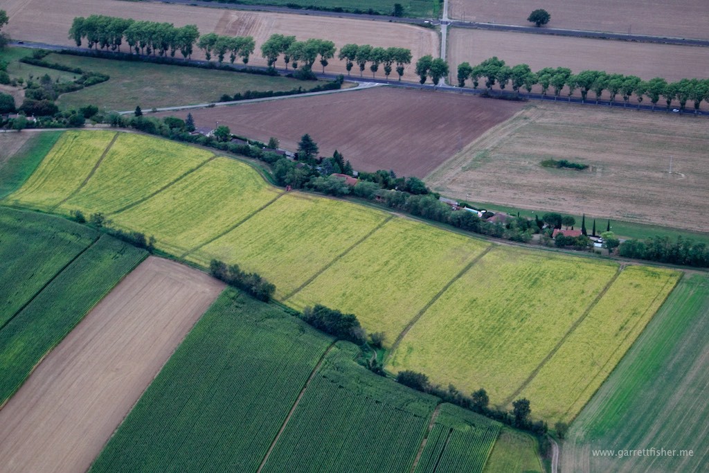
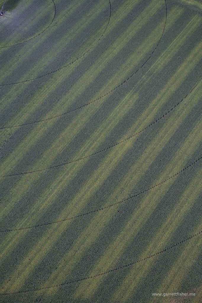
I have seen this now in Germany, France, and the US, and I have no clue what the purpose behind it is.
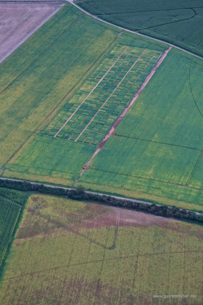
Groundwater irrigation, like the West!
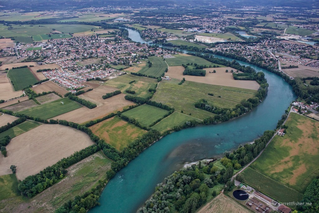
Le Rhône – Royettes, France. I believe that is glacial silt that creates the color. That, or the French celebrate St. Patty’s Day in September.
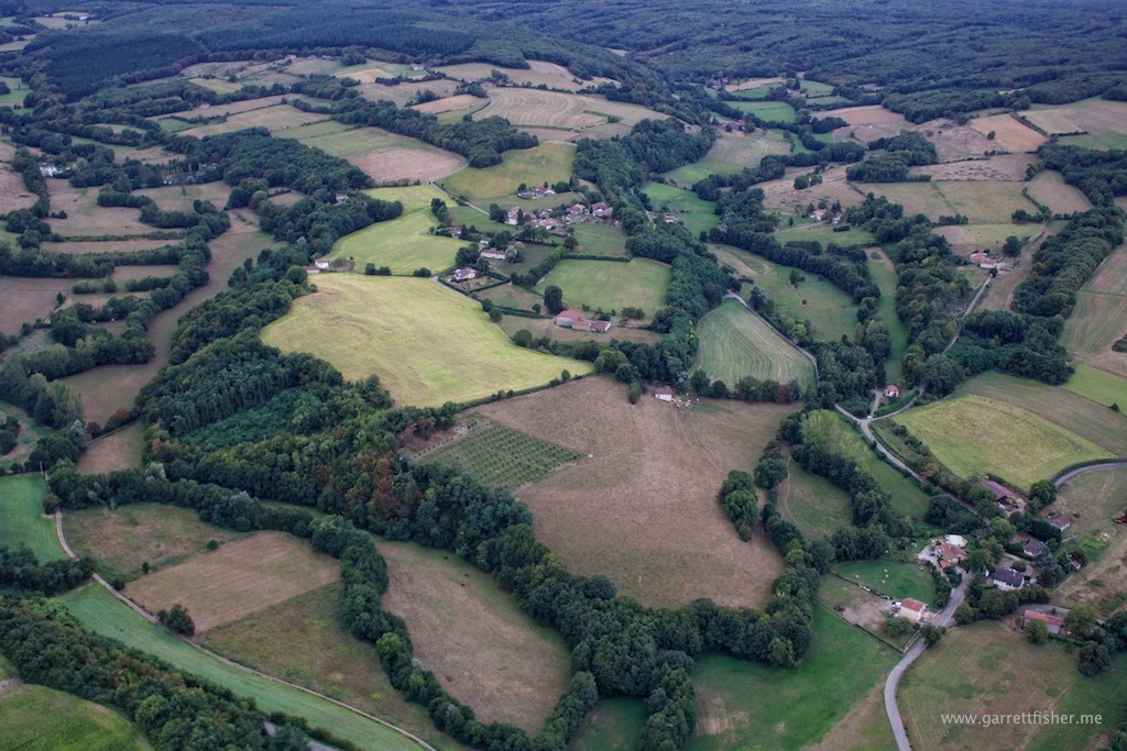
Self-evident rural area south east of Lyon.
L’Isere – Romans-sur-Isere, France. Starting to get breezy.
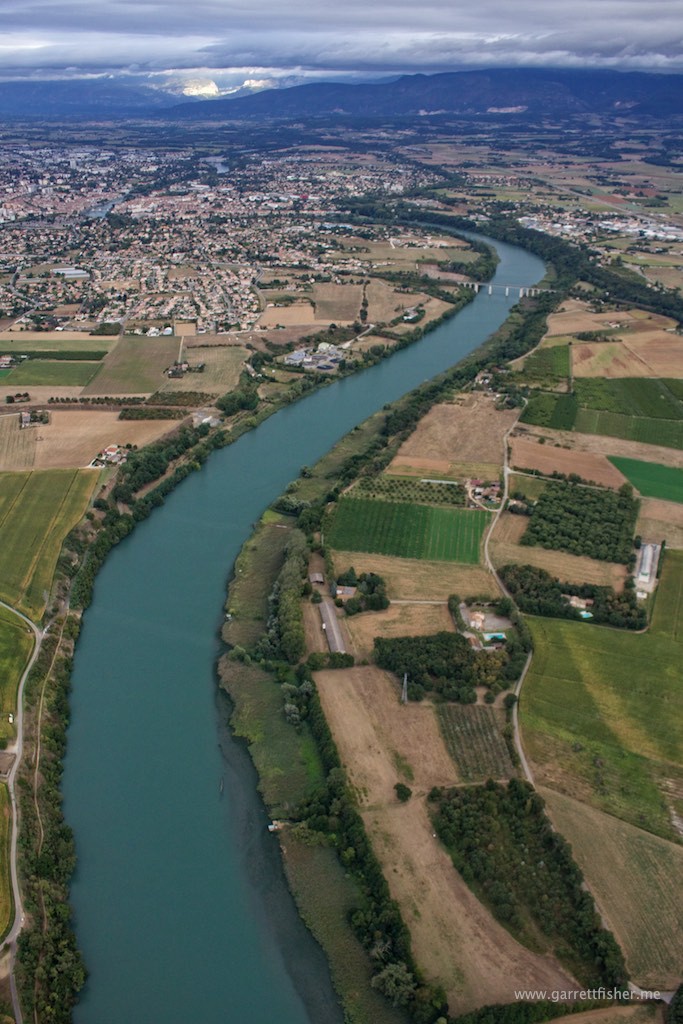
North of Valence. Getting windy and clouds starting to break.
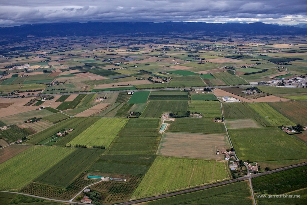
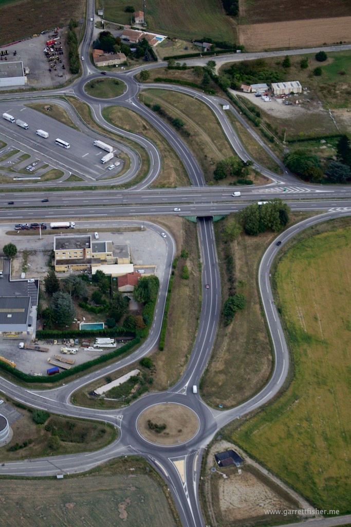
Intriguing experiment with road planning.
Ghetto tiedown (ghetto iPhone shot, too).
Now I just need to make a bunch of fancy push pins on my map.

