Apparently, there is an informal scale of pilot insanity (from “respect” to “crazy”). I stumbled across it during some hangar talk up the road, where I had the rare occasion of running into another Garrett (who happens to fly). The similarities were disturbing. Nonetheless, the introduction was made advising that [counterfeit] Garrett has “balls of steel.” “Well, if he has balls of steel, then where do I fit in?” <<Pause to deliberate>> “You fly where angels fear to tread.” I get the inkling that designation sits closer to “crazy,” though I will acquiesce to the fact that it pretty much takes a hormonally-induced willful ignorance of engine out risk to take a flight like this.
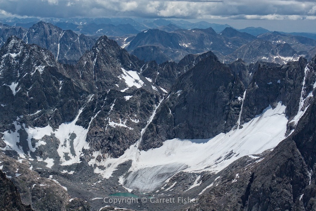
The very next flight after this conversation (inspired, undoubtedly by my new designation), I decided to head to the glaciers of the Wind River Range. Containing 5 of the top 10 glaciers in the Continental US outside of Washington State, I figured its time to take a crack at it. I am working on a book on glaciers of Wyoming, after all. There is a limited 45 to 60 day window where annual snowfall is melted off and glaciers remain, and it starts now.
Its hard to put words at what its like to fly over this terrain. Home to over 25 glaciers, as well as the highest peak in Wyoming, Gannett Peak (13,809’), the place is disturbingly harsh. In fact, it is the most dangerous terrain I have flown over to date. Roads do not exist. Emergency landing zones consist mostly of a field of giant boulders, and in the event of survival after catastrophe, a 10-mile or longer trek awaits to get out. There was not only a timberline, there as a line where grass doesn’t even grow, and if that is not enough, there are glaciers, where the snow never melts. This was Siberia or Alaska, except it was all at high altitude (whereas Alaska has these features down at 1,000 feet above sea level). To quote a sexist ad I saw once: “sometimes the juice is worth the squeeze.”
For a little background on the airplane, carbureted piston engines lose 3% of their horsepower for every 1,000’ of altitude above sea level. Thus, my meager 100hp engine (which is not enough for most pilots), was producing 59.5hp, assuming I was at full throttle. I used cruise power to coast up to altitude and fly around, resulting in a likely engine output of 48hp. After enough time spent at altitude, that nasty thing called high-speed wind becomes useful, where I turn into a half glider and ride the updrafts high into the sky. On this particular day, I had hoped to ride them up past 15,000 feet and get the glaciers on the east side of the range. With a cloud deck at 13,700’ to 13,900’, that was not possible. Steel balls or not, I am not stupid. There will be more flights to get the rest of these glaciers, presumably on a nicer day.
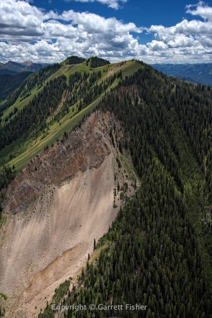
Riding the updrafts up the “foothills.” Merely, 11,200 feet at this point.
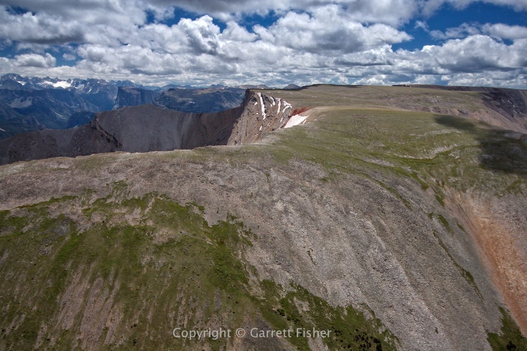
See that glacier on the left horizon? That is where I am going. Note a few meadows in the valley below; those are the only emergency options.

Where I came from. Trailhead is just out of view down the valley, and final landing zone is in the “C” of the copyright designation below.
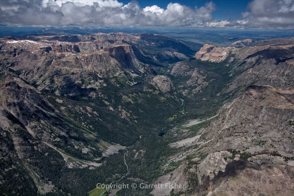
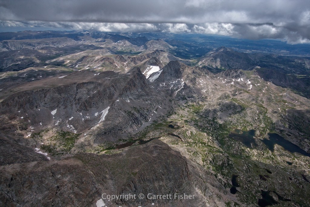
Continental Divide is the jagged rock formation. Gulf of Mexico drainage on the other side, Baja California this side.
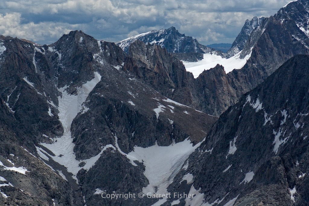
Mammoth Glacier. Base elevation of the bowl is 12,000′ with the peak on the left at 13,200′.
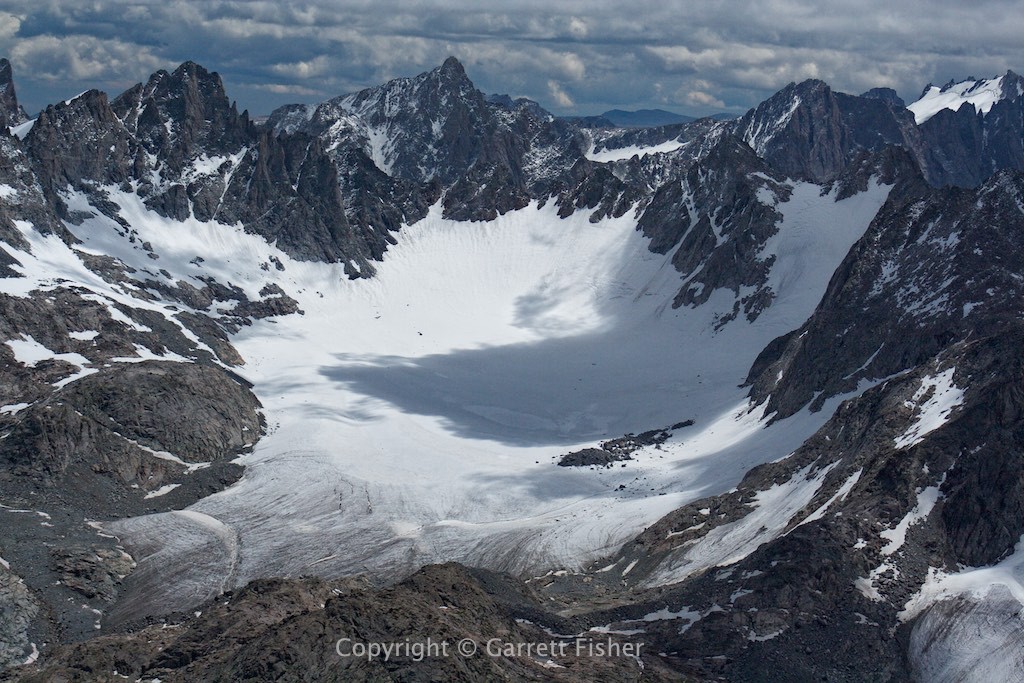
Base of Baby Glacier. You’re looking at over a century of winter seasons’ snowfall piled up (which unfortunately is melting away).
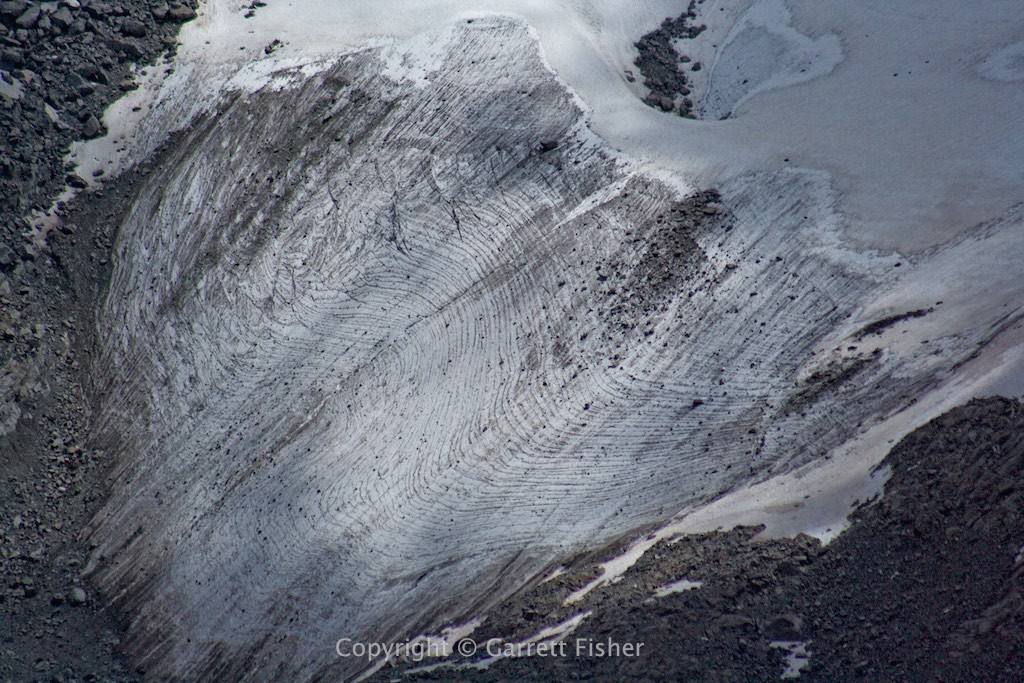
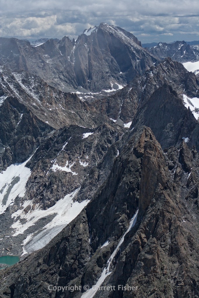
Baby Glacier bottom left, top of Dinwoody Glacier on distant peak (Fremont Peak, 13,743′).
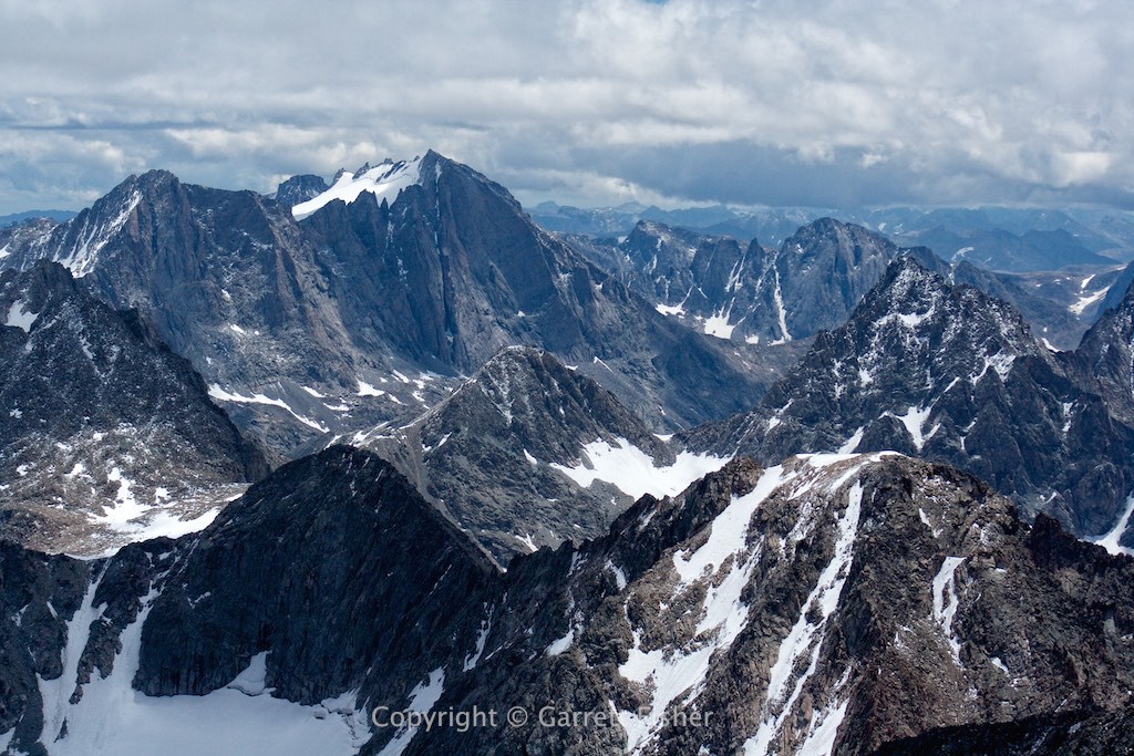
Stroud Glacier. Headwaters of Green River very close to here. Stupidly, this glacial water will be used to water lawns in Phoenix, and for 20 years didn’t even make it to the Sea of Cortez in Mexico.
Fremont Peak again. Notice cloud wisps in top left of image.
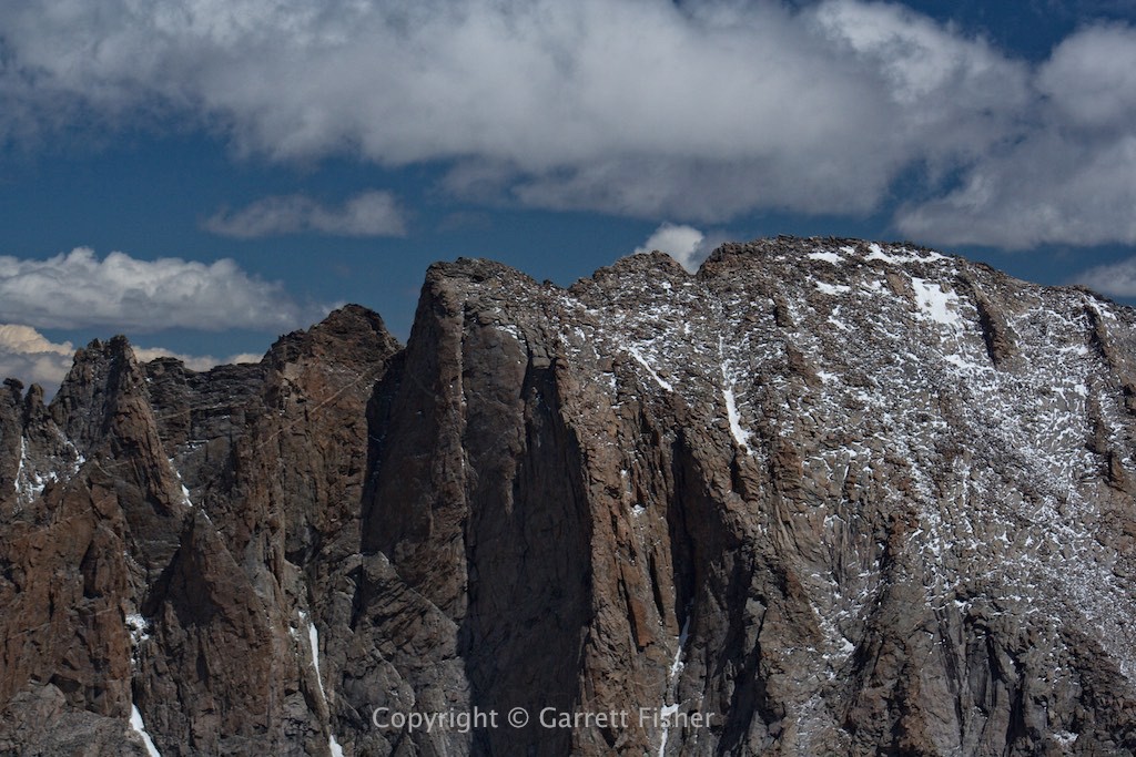
Best to avoid flying into this. It snowed the night before.
Wind River Range. The green down there is grass, not trees. Everything in this image is over 11,000′, and not one bit of it is a safe landing spot.
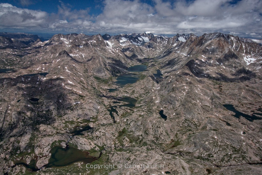
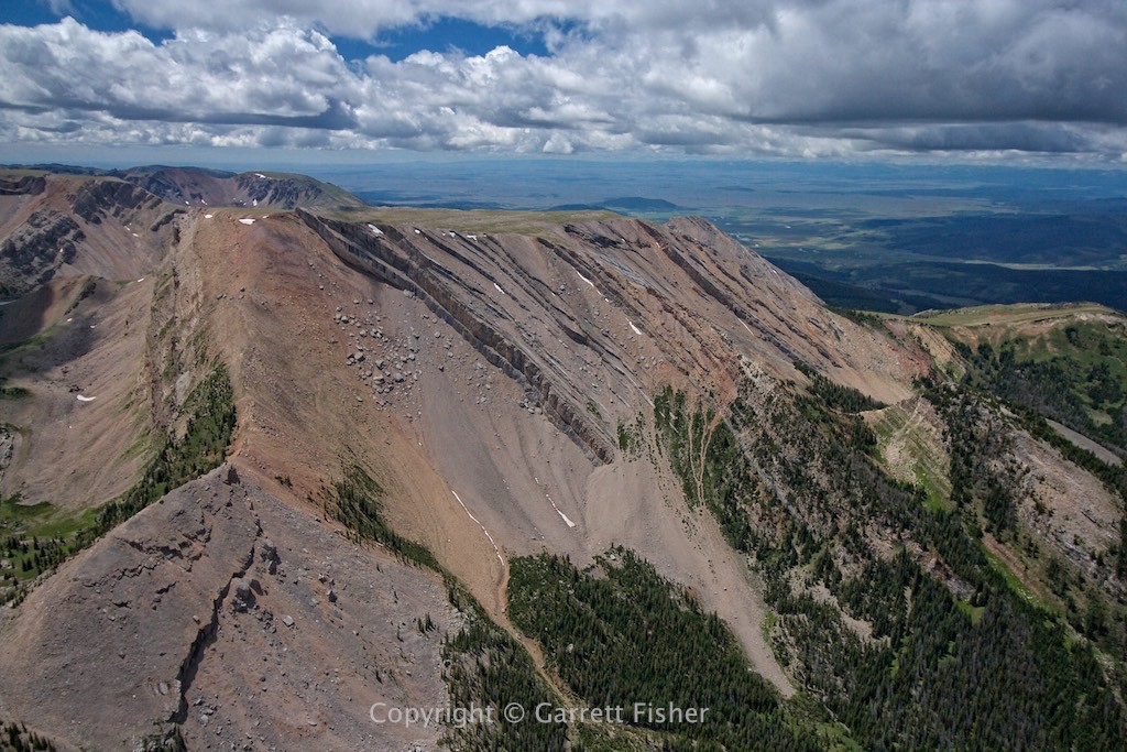
More Wind River Range, looking south. “Only” 11,500′ to 12,000′ or so in the higher areas here. Ho hum.
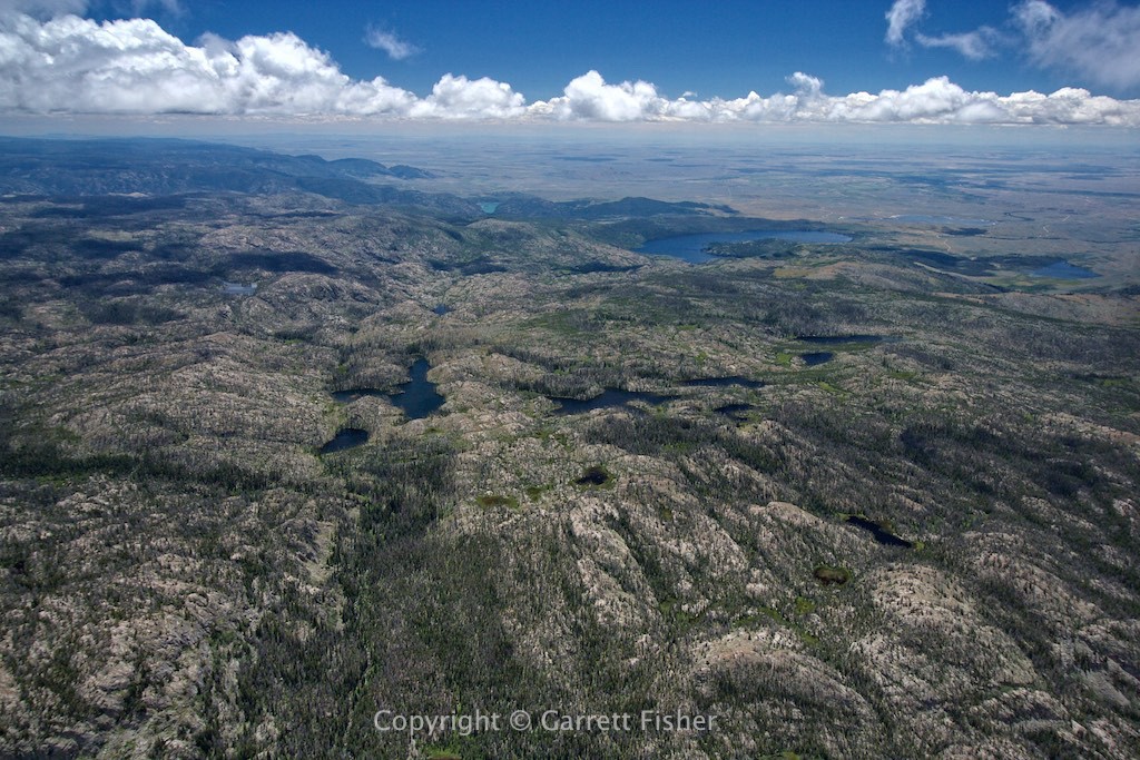
Wind River foothills. Elevation below 10,400′, now instead of a mass of jagged rocks, also a mass of pointy, inflexible trees.
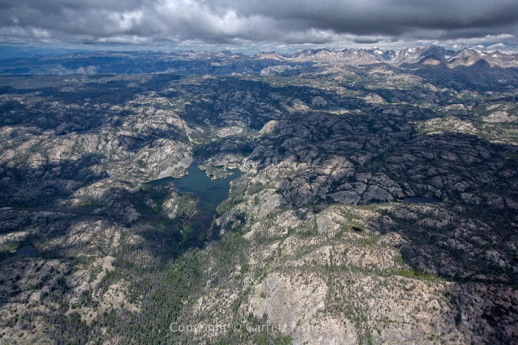
Wind River foothills, looking back to the glaciers.
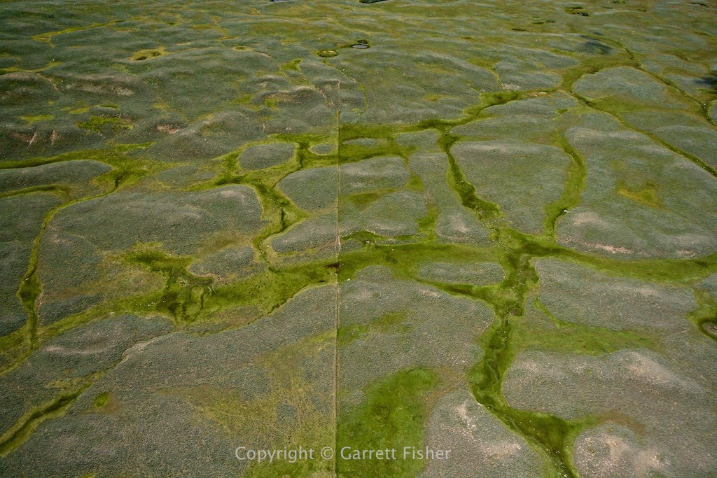
Ranching lands 20 miles NW of Pinedale.
Beaver Mountain (9’600′ or so), along the tight section of the highway between Bondurant, WY and Hoback Junction, WY. 15 miles from home.
