About a week after moving to the coast, it was time to see it from the air. For the first time in years, I will have beautiful scenery without having to worry about smacking into the side of a mountain, or being eaten by a bear after an emergency landing in a national forest. Believe it or not, I thought I’d get relief with the NC Mountains book projects over the summer, with peaks maxing out below 7,000 feet. How wrong I was! The terrain had plenty of wind, turbulence, clouds, and desolation to worry about. In fact, with no timberline or desert valleys, my emergency landing options were big, old trees. It is a bit exhausting to track the lowest chance of death at all times, so this winter at the coast will be fantastic with a permanent emergency landing fixture available at all times: the beach!
Ironically, the weather was a high of 38 on the day I took off, which felt more like Colorado than the South. I chose the day as the wind was out of the northwest, being sunny and dry (also the source of the aforementioned cold). Southwest, south, southeast, northeast, and even north all comes off water somewhere (such is life sticking out on the Outer Banks), and that carries varying levels of haze from ocean humidity and/or human defilement. Northwest is usually a shot of air out of Canada that also has a Chinook/Föhn effect coming off of the Appalachian mountains a few hundred miles northwest, drying the air out and making it clearer.
My calculations for the day were correct. The air was wonderful, with 50-mile visibility. My purpose was to take a more leisurely stroll in the air, scoping out what the scene is like, and gathering data so as to plot my photographic attack of the OBX for the next few months.
I cruised over Jockey’s Ridge (big sand dunes), down over Roanoke sound, over Oregon Inlet, and back. Roanoke Sound featured amazing sculpted sand under the water line, courtesy of a polarizer and exquisite photography skills. Oregon Inlet revealed a tidal flow heading out to sea, so I climbed to 5,000 feet to photograph the whole thing and show it. One of these days, I’ll head up to 10,000 to get as many of the islands as I can see from the air, even though it makes my stomach churn, as though I will just get blown out to sea. Irrational, yes. I don’t like flying over water after this story.
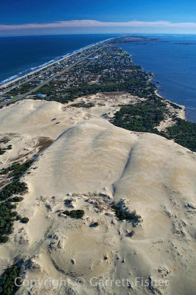
Jockeys Ridge State Park
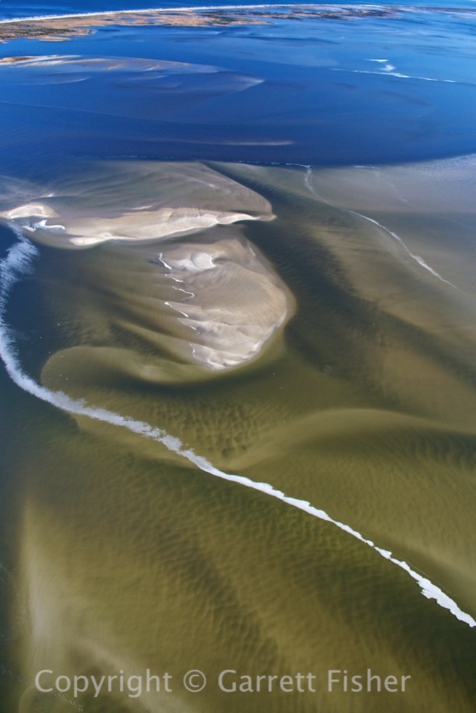
Sand Patterns – There are lots of these
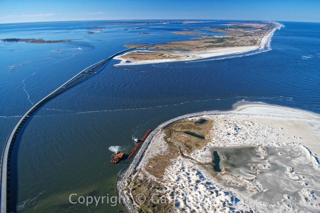
Oregon Inlet
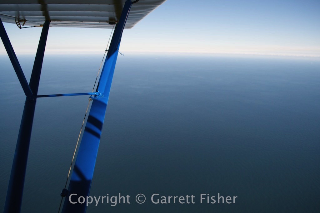
Atlantic Ocean – I do not like flying over water.

Oregon Inlet Tidal Flow
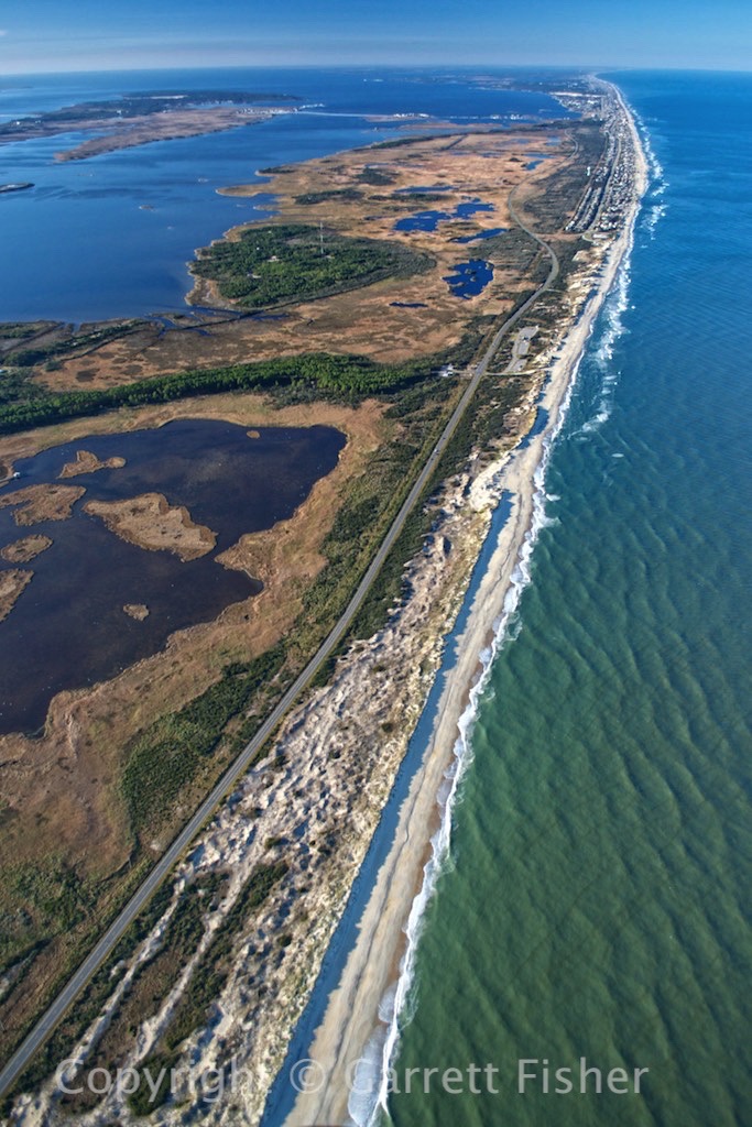
Beach, Nags Head in Distance
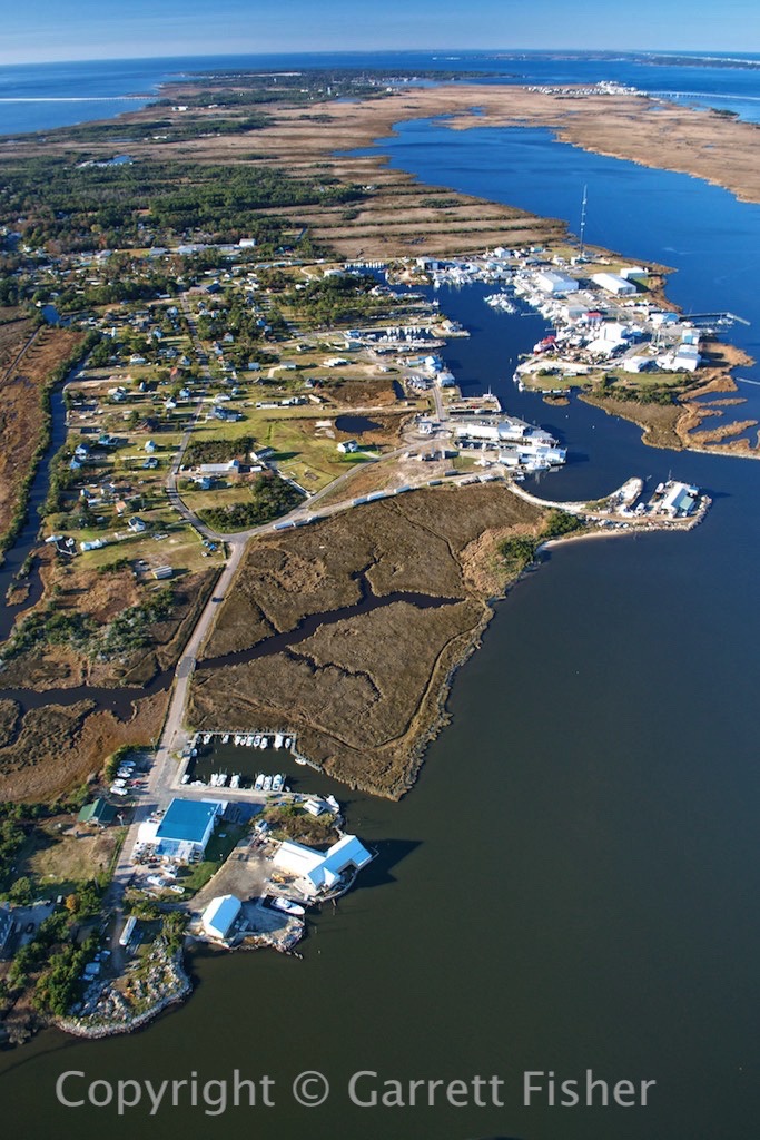
“Seafood Industrial Park” – Wanchese
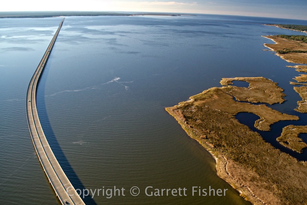
Manteo to Mainland Bridge
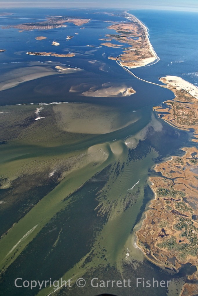
Oregon Inlet – From a Mile up
