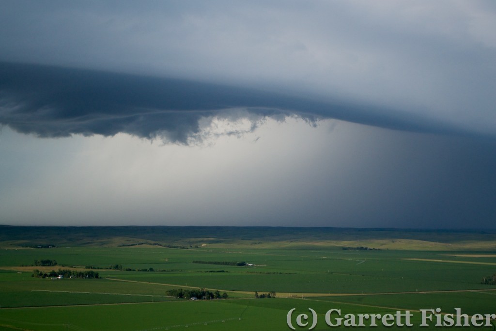
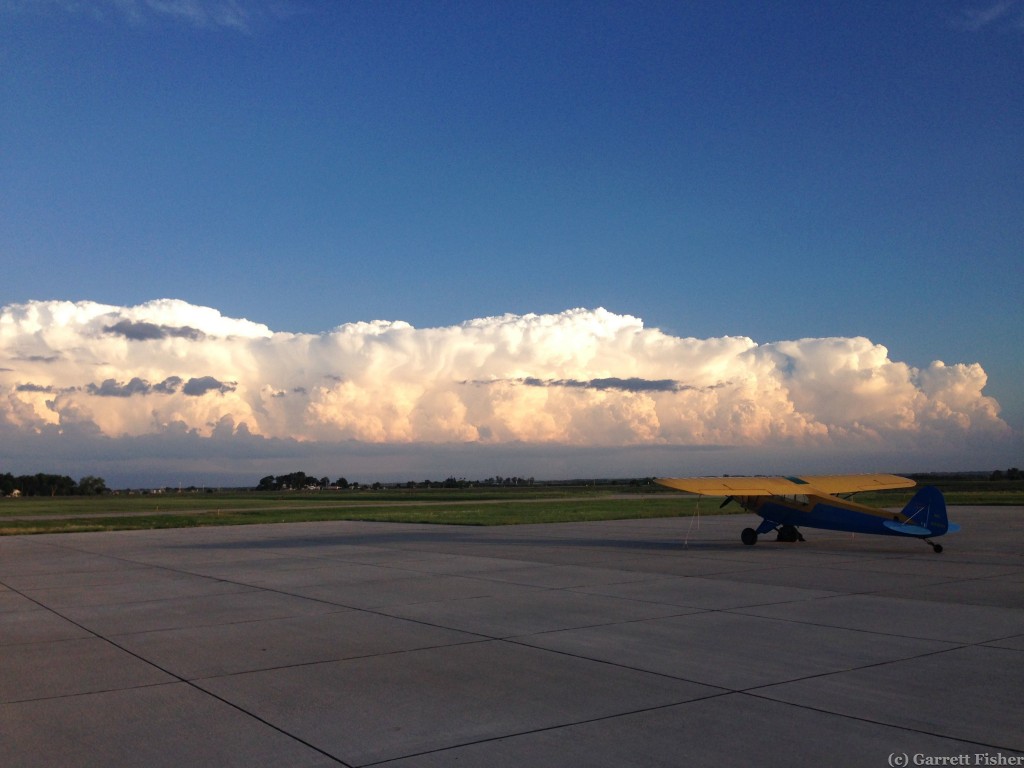
The day began with a fellow pilot and his passenger happily conversing on the way to their far more luxuriant Beechcraft parked next to mine. It was 5:15AM, before the appointed time set forth on my rude alarm clock. I begrudgingly emerged from my tent, far more content that the overnight low was 60 as opposed to 35. Pre-flight preparations went smoothly and I was off before 7AM.
Unlike the prior day, the air was a wonderful sea of calm. With a morning sun not yet too warm, pleasant air temperatures, and a sea of undulating, textured terrain beneath, I was enjoying myself immensely. Easy photography, no wind or bumps and a pleasant drone to the engine. The plan of flight was to proceed north of Gillette, WY to Devils Tower National Monument, then southeast to the Black Hills of South Dakota, Mt. Rushmore, Badlands National Park, and the Sandhills of Nebraska. I did not know how far I would get, though I did look forward to the prospect of getting pretty close to home, quite possibly Tennessee.
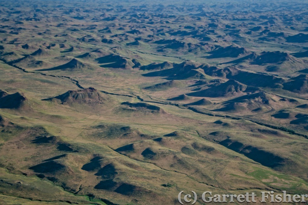
Textured Terrain – North Central Wyoming
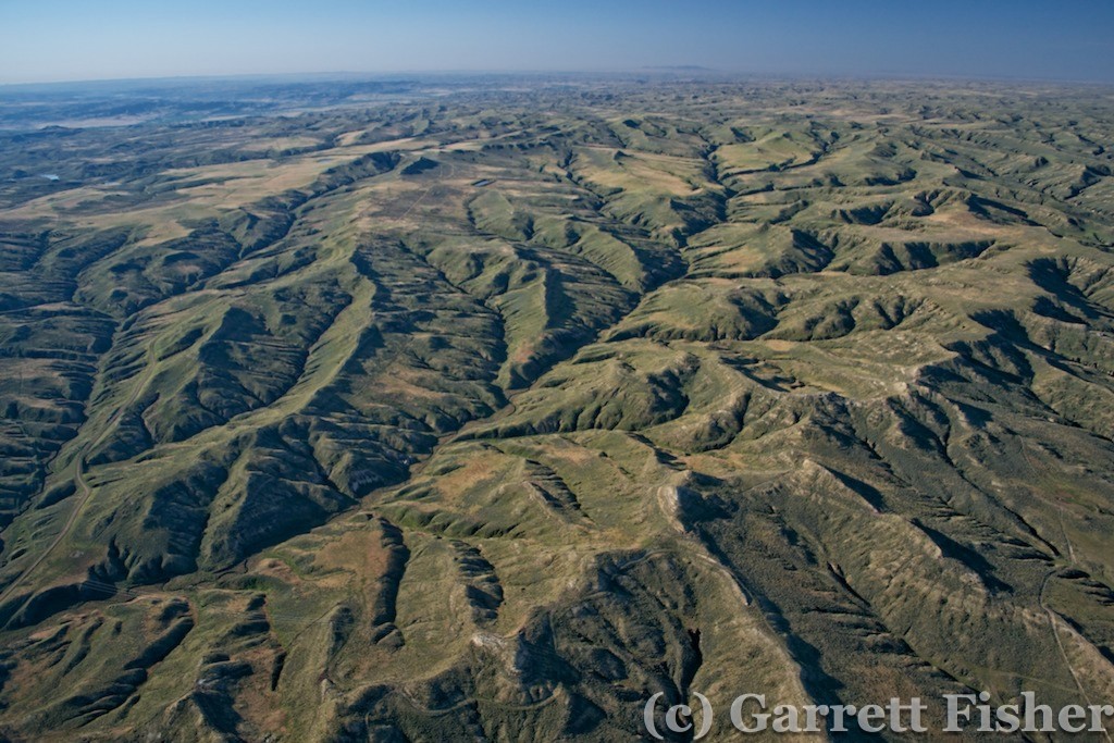
Undulating Terrain – NW of Gillette, WY
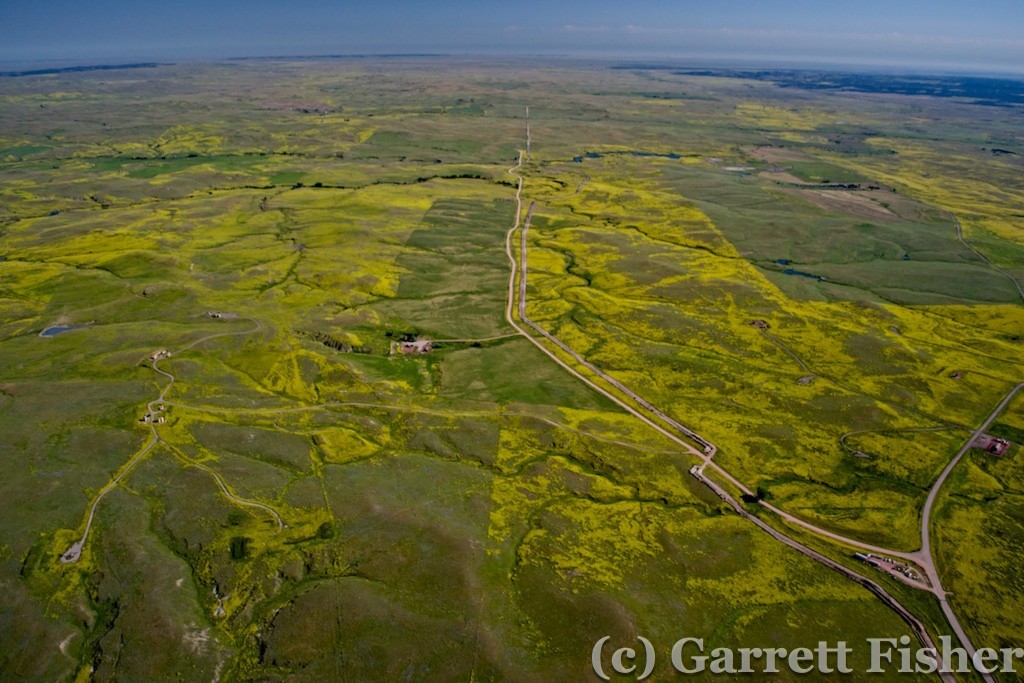
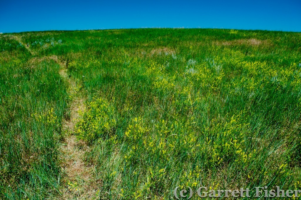
The textured terrain was rather desolate, and I did have the whole subconscious tracking mechanism in full operation, though I had a calmness about it that I did not over prior terrain. The fact that it did not seem so hot, and it seemed less dry seemed to indicate higher survival chances of trekking in the wilderness. The undulation gave way to flatter terrain, which became progressively more covered in some very colorful yellow flowers.
Approaching Gillette, WY, Devils Tower came into view 40 miles away. I thought to myself “I really wouldn’t want to have to land out here, it seems it would be awfully inconvenient to deal with any issues.” A few minutes later, a sudden roughness materialized from the engine, accompanied by a 75 RPM drop. After a brief pit in my stomach, I scanned to see that there were about 4,000 places to safely land, and focused on the RPM. It was holding with no continued degradation; therefore, altitude would hold. I checked the GPS – 24NM to the nearest airport. I texted my wife the situation as I had cell reception and figured I would not if I had to land in the middle of nowhere.
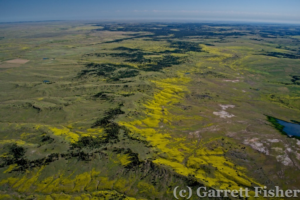
Engine Roughness, NE of Gillette, WY
The roughness was mild and consistent. I figured it was likely an exhaust valve given the behavior of it and some of the recent characteristics of the engine. Small engines of this kind with low time since overhaul can develop excessive carbon on the valve shaft, which accumulates and sticks to the guide, which is an extremely tight tolerance. Worst-case scenario, it sticks fully open, and the RPM drops to an amount that just barely supports flight. Not ideal, and not deadly, either – so no need to do something silly and make the situation worse.
As I approached Devils Tower, I kept the position reports up by text message, and enjoyed the fact that I was able to actually still see it – as the direct-to-airport trajectory took me within a few miles of the monument. I was remiss, though, that there is a notice on the aviation map loudly indicating “For reasons of national welfare, pilots are requested to avoid flights within 3nm of Devils Tower National Monument.” Those usually have to do with government facilities and I thought: “How stupid is this? I come this far for some stupid passive-aggressive rules.” It turns out the site is very important to Native Americans and is also highly popular to pilots, so some courtesy was in order.
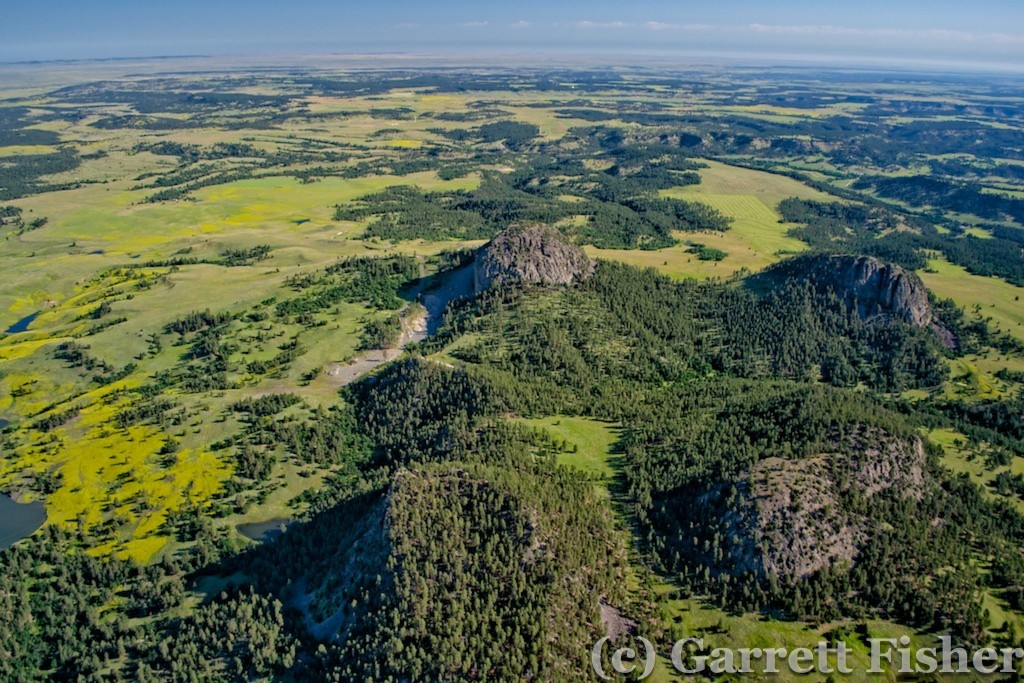
North of Devils Tower National Monument WY
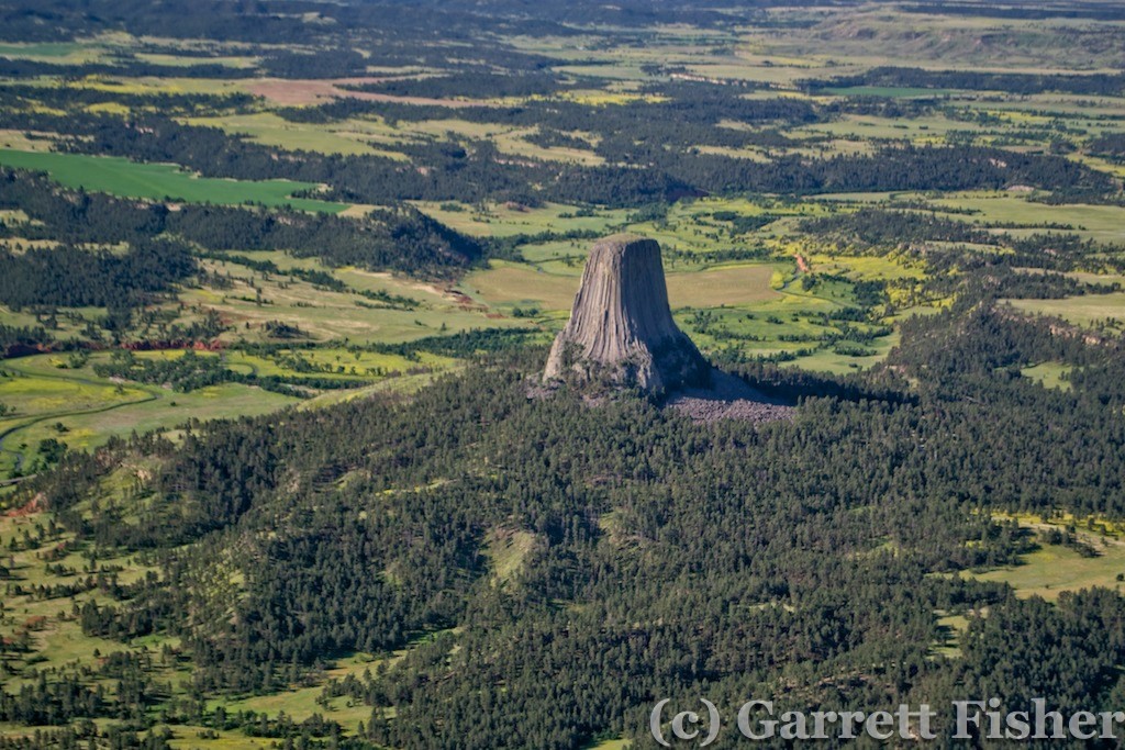
Devils Tower National Monument
I was able to get some shots of the monument, reminded that 200mm would have been nicer than 55. Nonetheless, the area was getting greener and quite pretty and despite the massive inconvenience now imposed on my plans, I was enjoying myself.
I decided to research the facilities of Hulett, WY airport from my iPad. Bleak. No fuel, no car rental, no hotels, no airline service (ha!), no mechanics, nothing. It was effectively a safe haven in the event of….say…engine troubles, yet would provide little more than some pavement to look at when I got to the ground. Considering that I would have had to beg a local to drive me 50 miles to get a rental car to drive a mechanic there, the whole situation was as inconvenient as it could get. The engine improved slightly over the last 24 miles, and Spearfish, SD was 35 miles ahead. I opted to proceed and texted my wife. Other than an 8-mile desolate stretch, the route would follow I-90 and be abundantly safe when it came to places to land. Worst case, what I would have had to do in Hulett, I could do in some farmers field, closer to civilization.
The flight to Spearfish was uneventful. I kept the RPM up until final approach, in the event the valve got stickier and I had to glide in. No problems. Talking with the folks at the FBO, they had a mechanic that could fix it…and he was camping. He’ll be in tomorrow. It was Sunday morning at 9AM. So I was looking at a 26-hour delay, minimum, which I knew would cause weather aggravations in the east. So be it, at least I am somewhere very cool, just north of the Black Hills. They were an agent for Enterprise, so $57 later, I had me a nice Ford Fusion leather-clad rental.
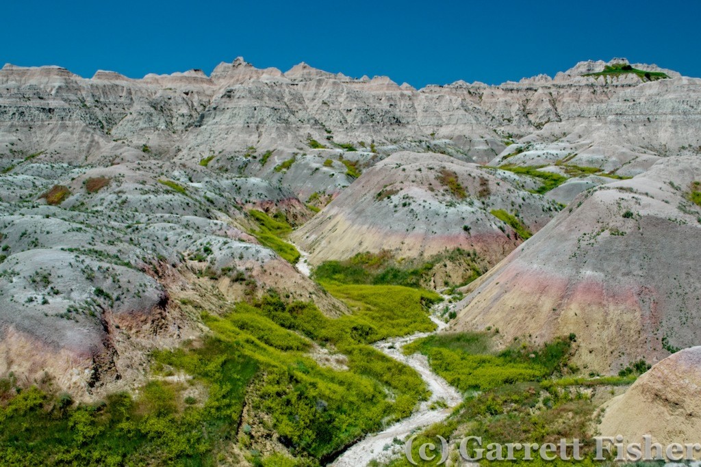
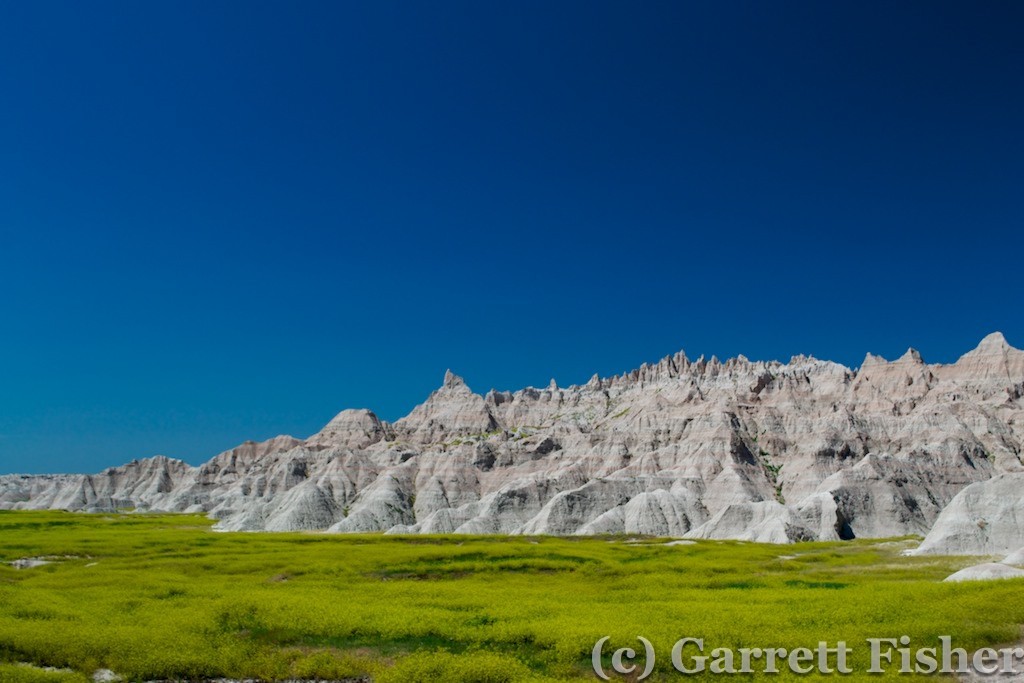
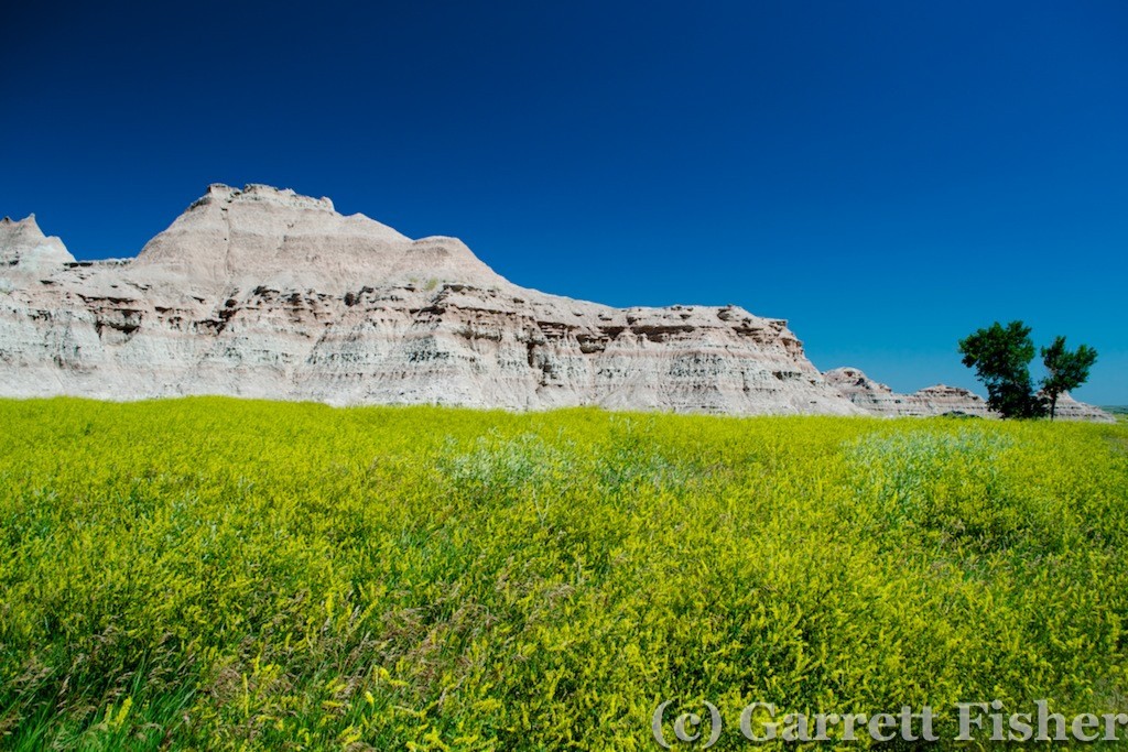
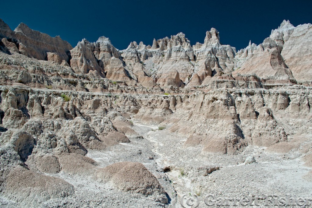
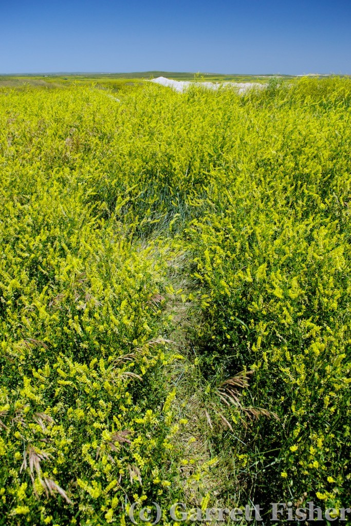
I headed SE on I-90 (ironic, given that I grew up in NY near I-90) toward Rapid City to get something from Starbucks. Then I went out to Wall, SD to Badlands National Park. The only thing I was remiss about was that my wife was not with me, as we have meant to do a pilgrimage to this area at some point. Badlands was very pretty, with an abundance of those yellow flowers against the rock features. Air temps were 90, with 100 on pavement per the car. However, when parking over some of the rock features that comprise the badlands, the car quickly reads 120. It was extremely hot climbing on those rocks. I still had to get photos, so drenched in sweat or not, I enjoyed myself thoroughly.
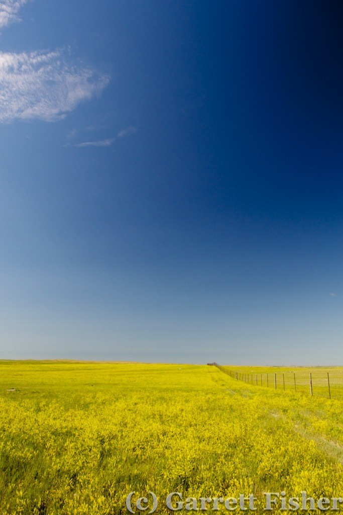
Badlands National Park (Obviously from the ground)
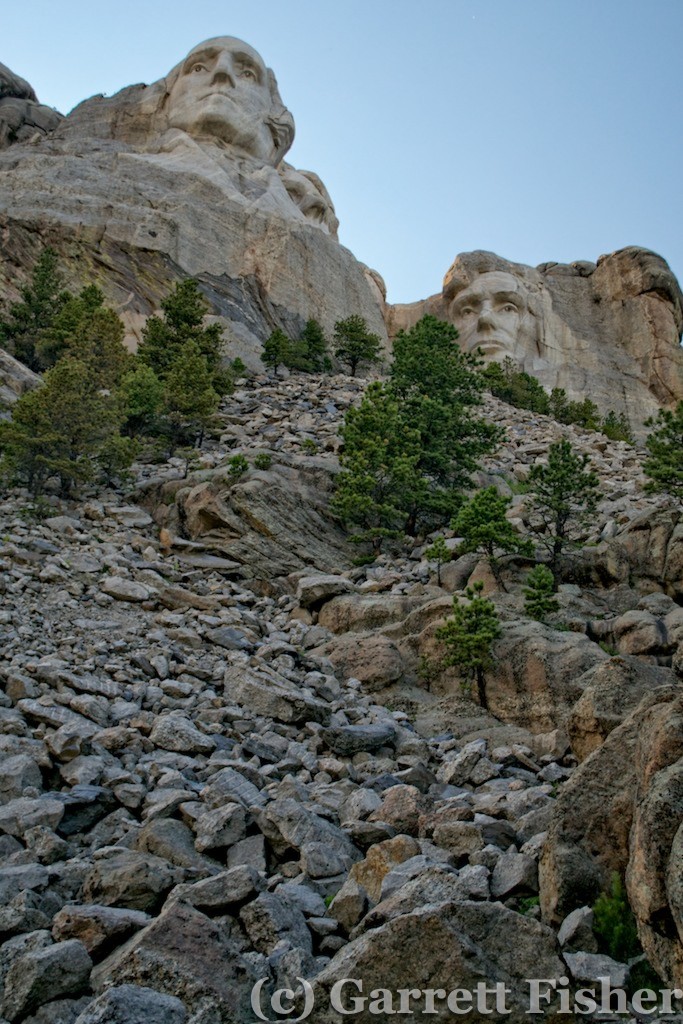
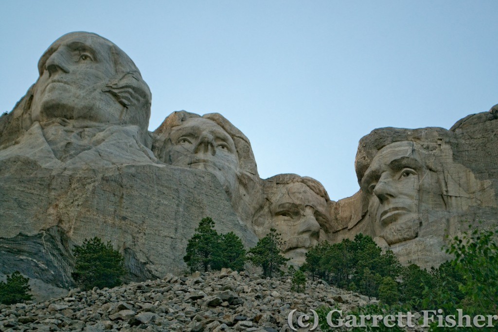
Next up was Mt. Rushmore. I got there a bit later in the day, and that meant poor lighting for photography, though it was very pretty. I like the Black Hills a lot, and, believe it or not, I like Rapid City. I don’t like many places at all and it seemed that the whole Black Hills + Rapid City complex reminded me of the Front Range of Colorado, except without 2 million excess people. Many native or former Coloradans will note that “Colorado is not the Colorado I grew up in” and I think I can now understand what they mean. There is a certain peace and beauty standing at Mt. Rushmore overlooking the plains to the east, and that is lost at an overcrowded park overlooking smog in Denver. Much like the changes in California over the past century, the population is just too much in CO.
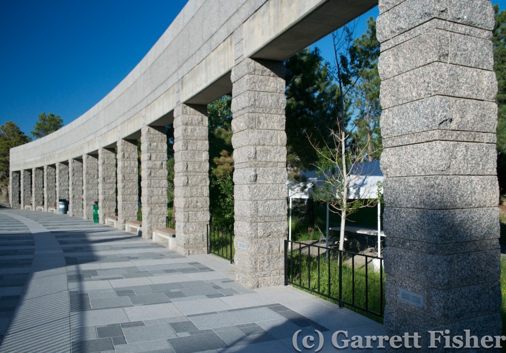
Mt. Rushmore is a very interesting place. People of all walks of life were there, including many foreign visitors. It seemed that the design of the monument leading up to the sculpture and the management of the grounds casts the experience of noble ideals. Rather than touting American supremacy or how right the U.S. is, it seemed to just exude the noble ideals that the U.S. has tried to represent at times, ideals that can’t be contained in a nation and owned by it, only stewarded by one and hopefully many. It was ironically a non-political experience, if such a thing is at all possible. I thought it was quite tasteful and well done.
As I was heading to Sturgis to spend the night in a hotel (and shower), I was reflecting on how much I do like this part of South Dakota. I was here when I was 5 on a family trip – to both Mt. Rushmore and Badlands – and I was also there in March of this year on my long flight with my instructor for my commercial certificate preparations. It just seems to be a neat kind of place, with interesting people and interesting things to see and do. I was glad, in a way, that the mechanical delay happened there as it added an experience I could not have expected.
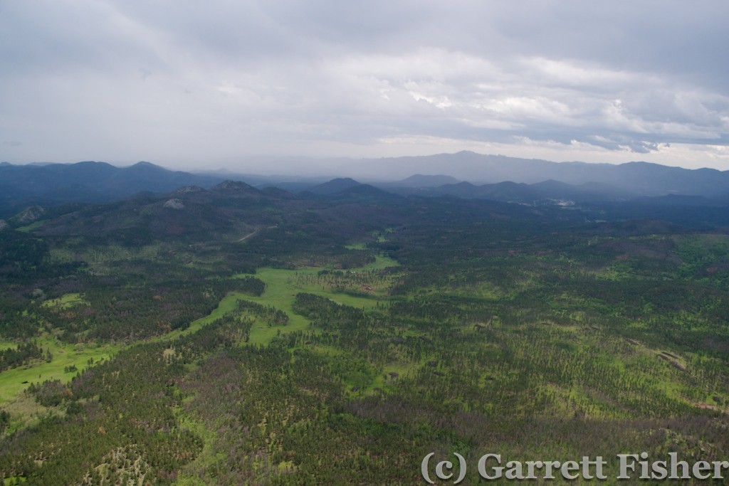
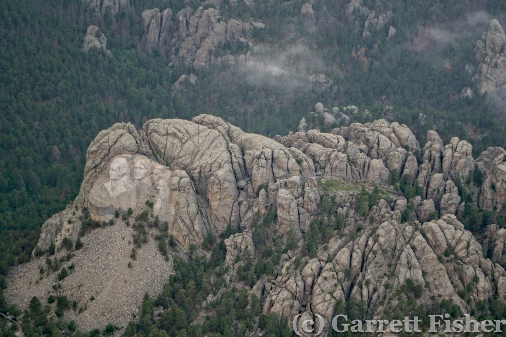
The airplane was in the air the next day at 12:30PM. Total repair cost wasn’t bad: $140 and involved disassembling the valve and cleaning it using some specialized valve tools. The weather had turned from bright blue sky to some thunderstorms and carrying precipitation. A strong cell had moved over the airport prior to takeoff and head down through the Black Hills where it fizzled, leaving low clouds over the range. I proceeded southeast over the Black Hills themselves, dismayed to find a moderate rain shower over Mt. Rushmore itself and the higher terrain. It was legal to get through them, given the visibility was over 3 miles and cloud bases sufficient, so I gave the airplane one heck of a bath. Photographing in the rain was interesting, as the lens cannot go out into the wind stream, or it will get very wet instantaneously.
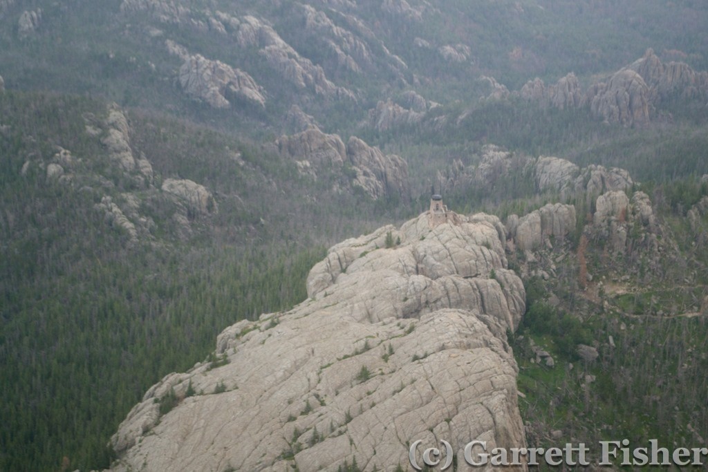
Harney Peak – Highest Point in SD
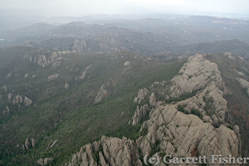
High Terrain of Black Hills, SD
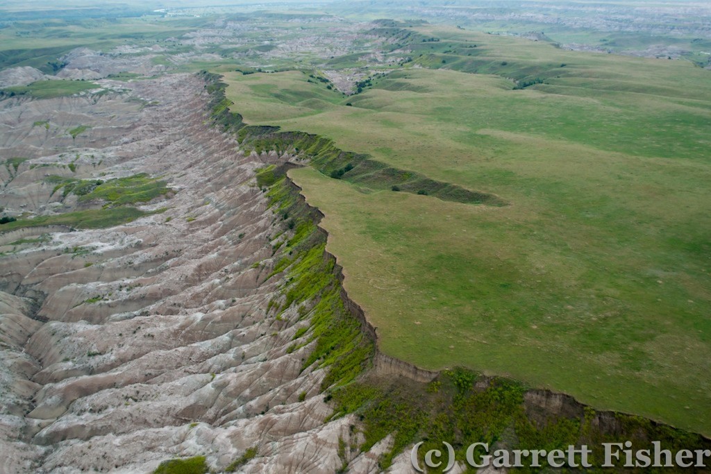
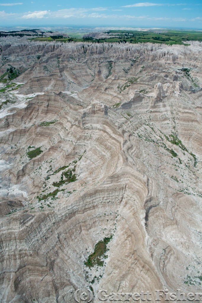
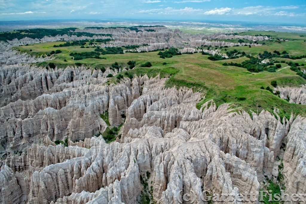
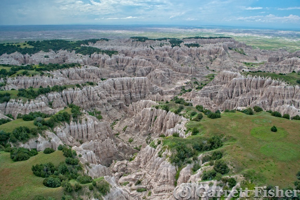
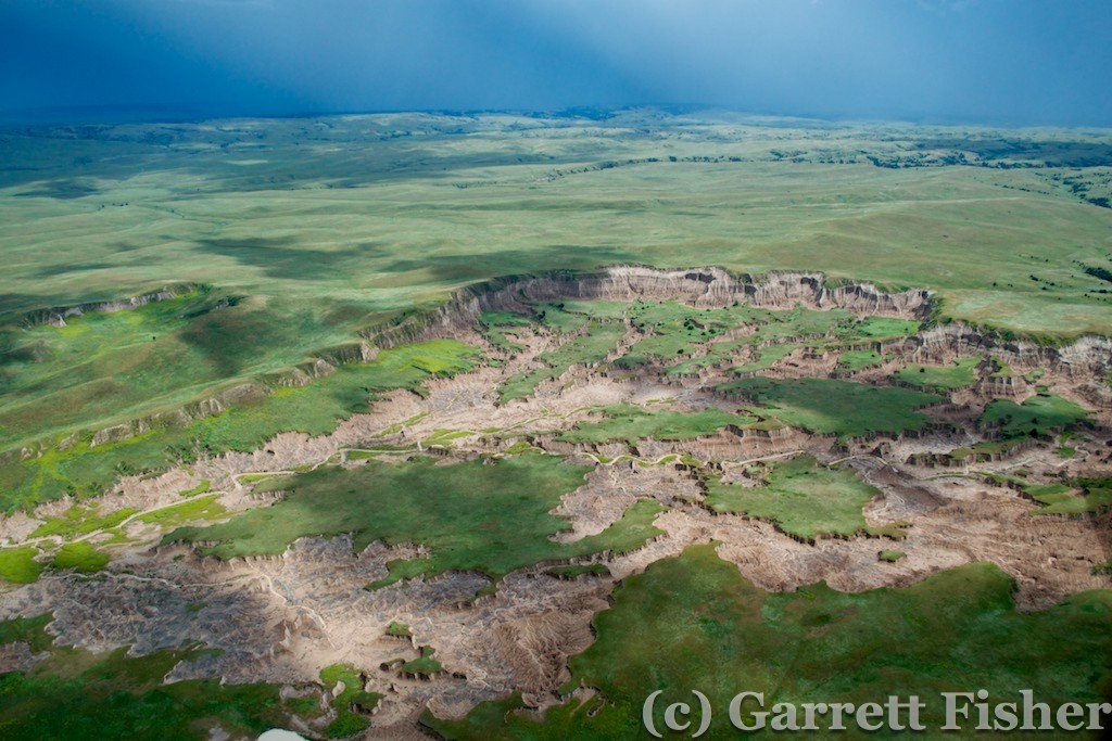
After Mt. Rushmore, I photographed the section of Badlands that is not developed, being accessible basically by foot. There were some interesting features, though also a totally remote area, again worrisome in the event of engine failure. The rain had caused all of the drainage basins to be flowing, and I am told that the mud out here is so bad that the most aggressive of 4×4 will get stuck until an hour after the rain passes. That is good to know in the event of landing.
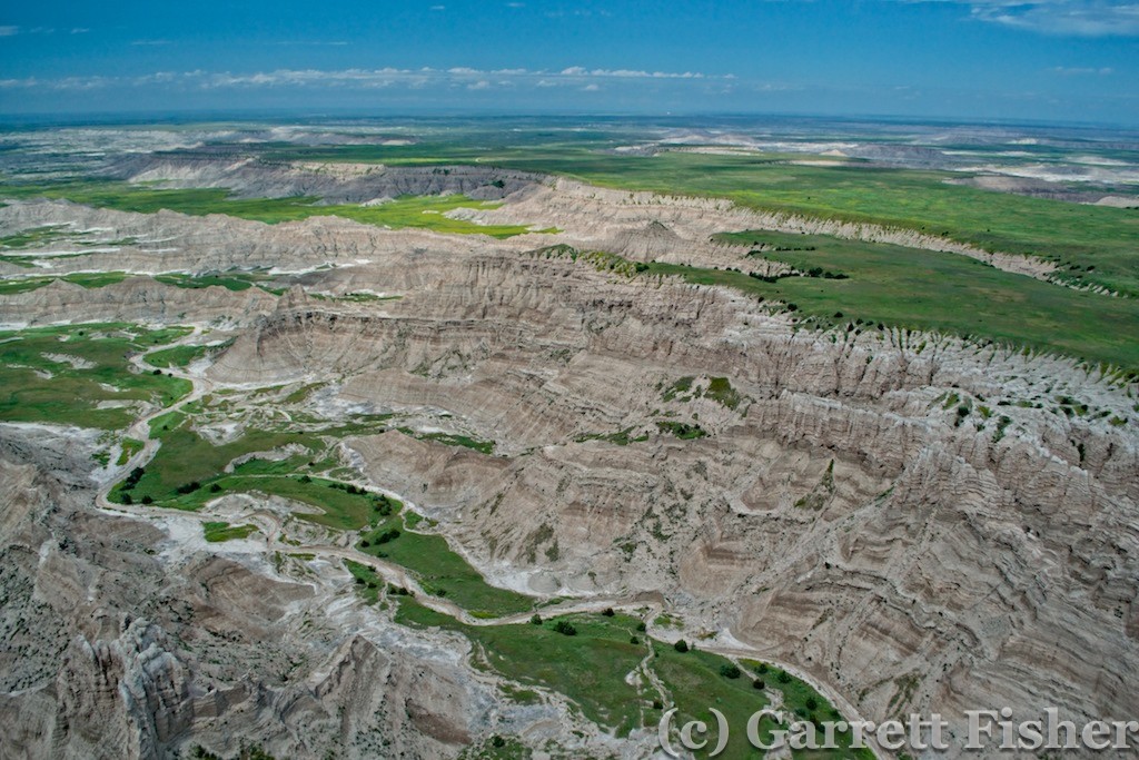
Badlands National Park – Aerial
South of Badlands, I was coming up on the back of a line of thunderstorms. It was proceeding NW to SE, so I arced around the west side of it. My plan was to refuel at Gordon, NE before traversing 110 miles of nothingness in Nebraska. The line of storms was barreling down on the airport, so my options were to land and hope no gust fronts came out in front during landing, taxiing, or refueling, then let the angry storm pass over ahead, idle back and fly slow until it passed, or proceed ahead. With a strong tailwind, I went into the Sand Hills.
That proved to be an aggravating mistake. 30 minutes into the Sand Hills, the tailwind became a headwind. There was no way I was going to make it to the other side. I diverted to the SW instead of SE, where the airport was 20 miles closer, though still way out of the way. Winds were worsening, and it was going to be too risky. So, in favor of intelligence and good aeronautical decision-making, and in obfuscation of my plans, I had to fly 30 miles west to Alliance, NE. I was not happy to find that, when I got there, I was west of the eastern border of Colorado, just 300 miles from Leadville, where I started two days prior!
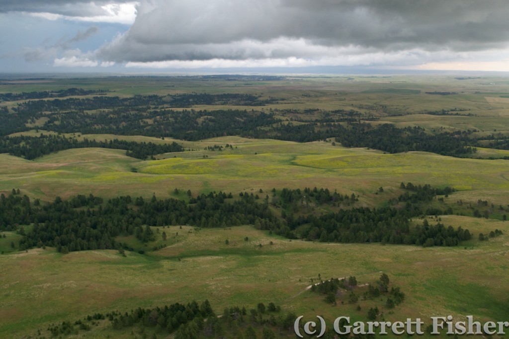
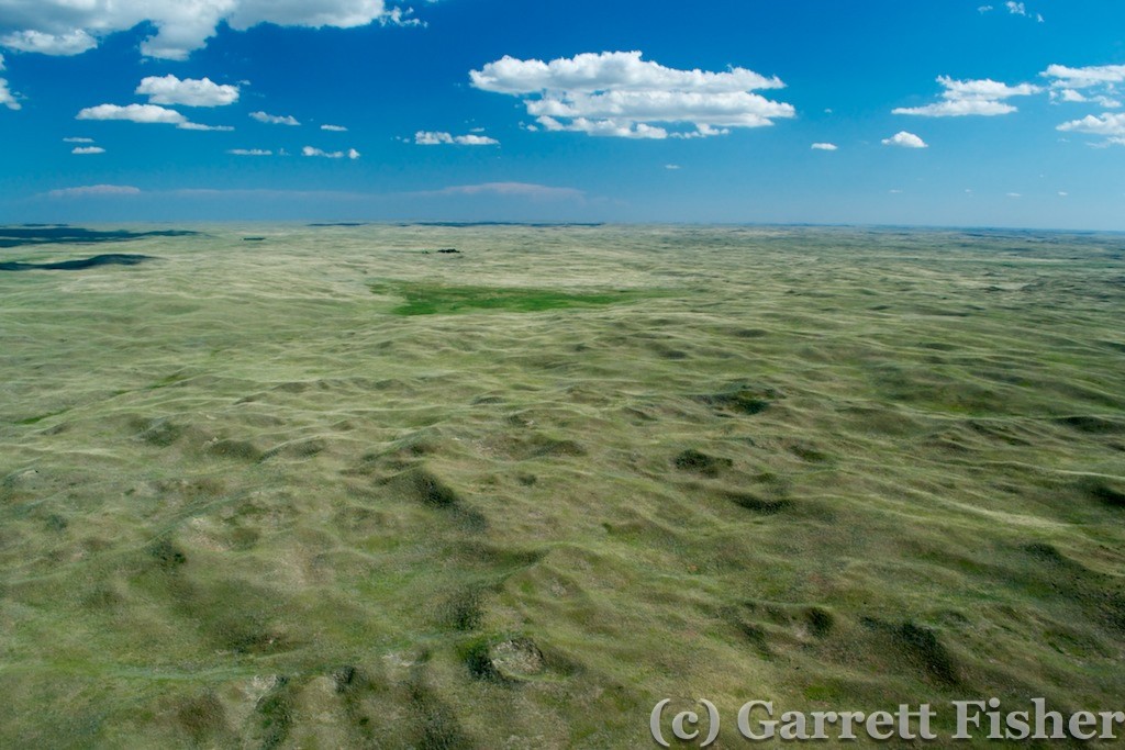
Alliance was sweltering hot. I got out of there as fast as I could and plunged into the Sand Hills, intent on making some progress actually to my destination. Being in such a rabid hurry, I forgot to photo Carhenge in Alliance – a mockup of Stonehenge made out of junked cars stacked on top of each other! That is a deep regret, as I do not plan on frequenting this part of the country again. Nonetheless, there were highlights of the Sandhills as I passed over them. Being devoid of humans, houses, and roads, it had a strange beauty to it – not the same as the desert – its own flavor of desolation. That desolation required the continuous “How do I prevent dying if the engine quits?” civilization tracking mechanism – with houses easily 10 miles or more apart. I did fly over some Buffalo livestock, and it was really interesting to see that they herd like cats, spread out from each other, enjoying their personal space. Bovine cattle will often huddle near each other. Not the case with Buffalo!
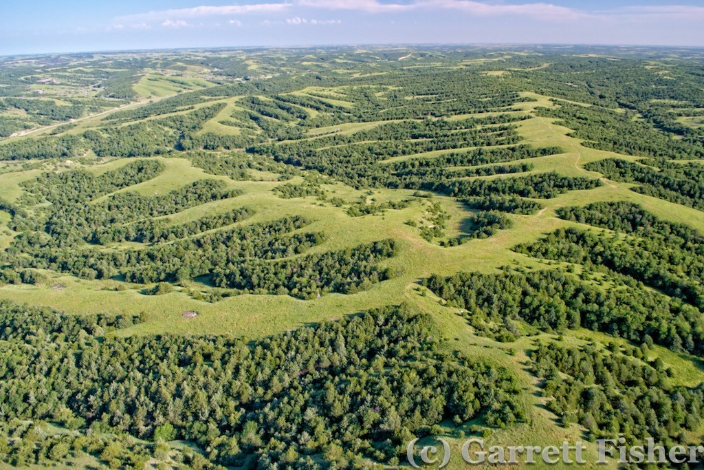
As I passed over the Platte River, the area went from dry and crusty to verdantly green, with abundant cornfields. Rivers like this feed the groundwater, and irrigation was pronounced in the shallow valley surrounding the river. As I passed to the south of the valley, I got an answer to a lingering question I had about the plains. In Colorado, as soon as the plains give way to foothills, various evergreen shrubs and trees show up. I wondered if that was a product of nature, or of human use. Meaning that, absent humans, the great plains would theoretically have some sparse evergreen vegetation mixed with natural grasses, giving way to deciduous trees somewhere just west of the Missouri River. Here in Nebraska, in some form of natural preserve, evergreen vegetation showed up about as I expected it. The plains would probably be far less forlorn if found in their natural state.
The day was beginning to come to a close, and my desires to get very far were not going to be fulfilled. I was hoping to get to Kearney, NE, basically in the middle of the state with good hotel facilities. The forecast called for some nasty weather, and I wanted to stay in a physical building as opposed to a tent flapping in the breeze. As I passed Lexington and was within 30 miles of Kearney, some incoming thunderstorms were brewing with some nasty intensity. I checked radar on the iPad and they were growing rapidly, and it was evident that they would beat me to Kearney. So for the second time, aeronautical decision-making superseded my schedule and I turned back. Lexington would be the home for the night, despite the lack of hotels. I figured that the line moving through might be the only weather, so I would camp under the wing if it was raining.
Lexington turned out to be a nice little surprise. The little airport was a new building, with after hour access, a lounge, and a “napping room.” I set up shop in the napping room and slept for the night.

