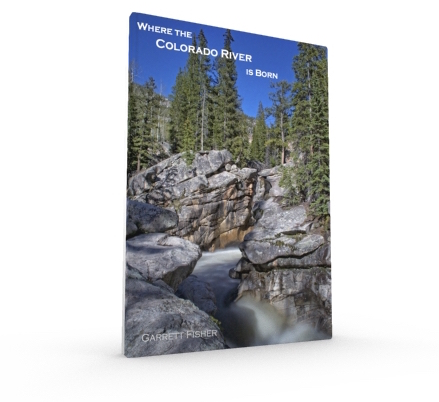
The birthplace of the Colorado River is not one place in the Colorado Mountains; it is half of the mountains in the state, steep unforgiving alpine terrain with majestic amounts of snow. Largely off limits except to the most adventurous, the author set out to bring the source of one of the most controversial water sources in the country to anyone who wants to see it. Containing 95 images, the book is an aerial photography documentation of the Upper Colorado, Roaring Fork, Blue, Gunnison, Eagle, Yampa, and Uncompaghre River Basins as well as the mountain ranges that feed them, in stunning detail and beauty, all taken from an antique aircraft. Containing 7 river basin maps with detailed information and locations of photographs, the book is a useful resource for those doing research and also a work of art simply to be enjoyed. The author also scales a 13,000 mountain on foot to show how melt water rapidly descends almost 4,000 feet from the peak to become part of the river system and into the Colorado itself.
116 pages.
Full color interior, cover, and back.
95 images.
8.5 inches x 11 inches.
Softcover.
Map of Photograph Locations in the Book: See full screen
Sample Images:
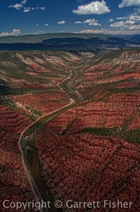 Colorado River |
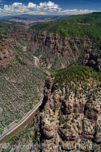 Glenwood Canyon |
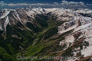 Elk Mountains, Conundrum Creek |
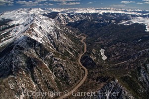 Tenmile Range, Tenmile Creek |
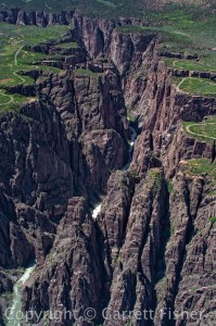 Gunnison River |
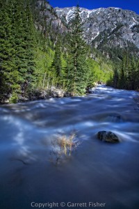 Tenmile Creek |

