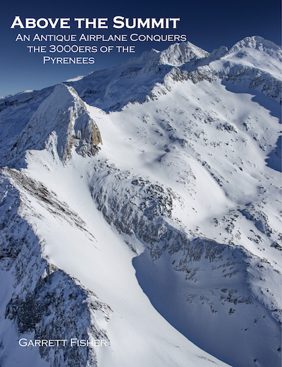
After successfully using his airplane to conquer the 14ers of Colorado, Southern Sixers of the Appalachians, and every remaining glacier of the United States Rockies, the author still hadn’t learned his lesson flying a small two-seater ragtag airplane built in 1949 around large mountains. Toting it to Germany and later on to Spain, Garrett Fisher set his sights on the 129 peaks over 3000 meters (9,843 feet), taking his same little airplane from end to end in the Pyrenees, covering locations in Andorra, France, and, Spain. Battling famously enormous mountain waves, rugged terrain, multiple languages, unfavorable airport conditions, freezing cold, and his own sense of wonderment as to why the project was begun in the first place, he successfully captured the highest peaks of a mountain range that not only forms a significant part of European history, it beguiles hikers and those who visit for its beauty.
104 pages.
Full color interior, cover, and back.
153 images.
8.5 inches x 11 inches.
Softcover.
Interactive Map of 3000ers
See full screen
Sample Images:
 Maladeta-Aneto Group from France |
 Pico Aneto, Spain |
 Maladeta-Aneto Group from Spain |
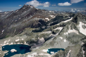 Posets-Eriste Group, Spain |
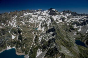 Clarabide-Perdiguero-Baum Group |
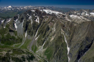 Néouvielle-Pic Long Group, France |

