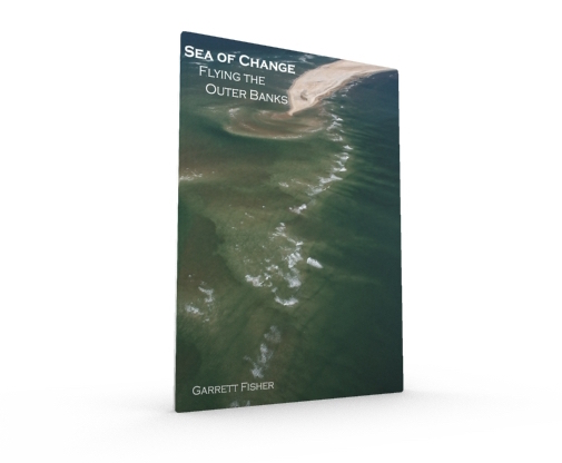
A place like no other in the United States, the Outer Banks of North Carolina are an ever-changing swirl of sand, ocean, currents, and sounds, an almost mystical series of barrier islands sticking out so far that the mainland cannot be seen. When the author first visited this place, he had an immediate attraction that grew even more when he flew his antique airplane down the length of the islands in 2011. Finding that there is more to be seen of the Outer Banks than most people realize, Garrett Fisher dragged his airplane out to the coast for almost six months, regularly flying the length of the Outer Banks to capture what he soon learned is an ever-changing tapestry of colors, capes, sand patterns, currents, and tidal flows, a place of near infinite variety on a daily basis. Intent on showing readers the part of the Outer Banks that they will not see from the ground, the book contains 99 images and detailed maps of photograph locations from Shackleford Banks to Virginia.
80 pages.
Full color interior, cover, and back.
99 images.
8.5 inches x 11 inches.
Softcover.
Dynamic Map of Photograph Locations:
Sample Images:
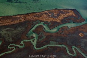 Back Sound Marsh |
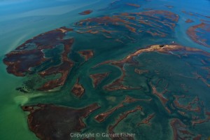 Marsh near Rachel Carson Preserve |
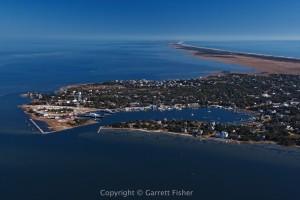 Ocracoke, NC and Ocracoke Island |
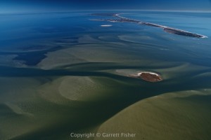 Pamlico Sound, Hatteras Island |
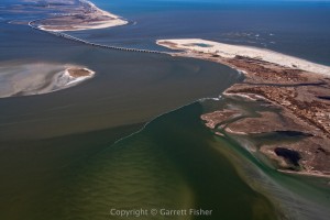 Oregon Inlet |
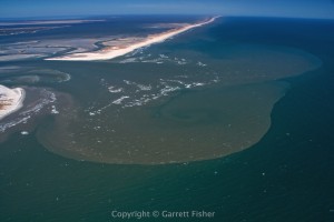 Ophelia Inlet |

