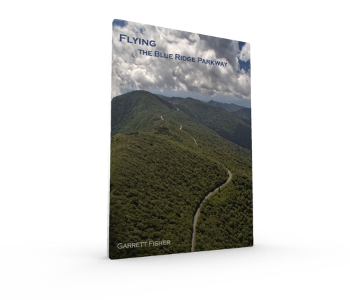
Stretching almost 500 miles, the Blue Ridge Parkway is a work of art in itself, a road passing through the highest terrain in the Southeast and snaking along the Blue Ridge Mountains. Sandwiched on both sides by national parks with their own scenic highways, the author found that his personal passion for these parkways couldn’t be contained by driving them alone. Called by stunning views and aggressive terrain, Garrett Fisher flew his 1949 Piper PA-11 from Gatlinburg, TN to Front Royal, VA capturing the Parkway from above. Intent on capturing the true essence of the foreboding terrain surrounding the Parkway, the author battled menacing cloud formations and wind on multiple flights to capture scenes that best represent the experience: mystical, stunning, majestic, and beautiful. Containing detailed maps and 83 images, the book is a journey from the air of the Blue Ridge Parkway, US 441 in Great Smoky Mountains National Park, Skyline Drive in Shenandoah National Park, and Cherohala Skyway in southwest North Carolina.
104 pages.
Full color interior, cover, and back.
83 images.
8.5 inches x 11 inches.
Softcover.
Dynamic Map of the Photographs Taken in the Book:
Sample Images:
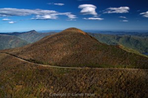 Blue Ridge Parkway – Craggy Gardens |
 Shenandoah National Park |
 Blue Ridge Parkway – Craggy Gardens |
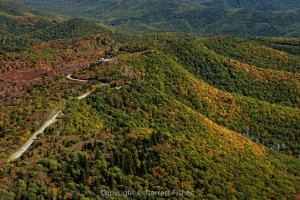 Blue Ridge Parkway – Graveyard Fields |
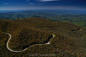 Cherohala Skyway |
 Blue Ridge Parkway – Blowing Rock, NC |

