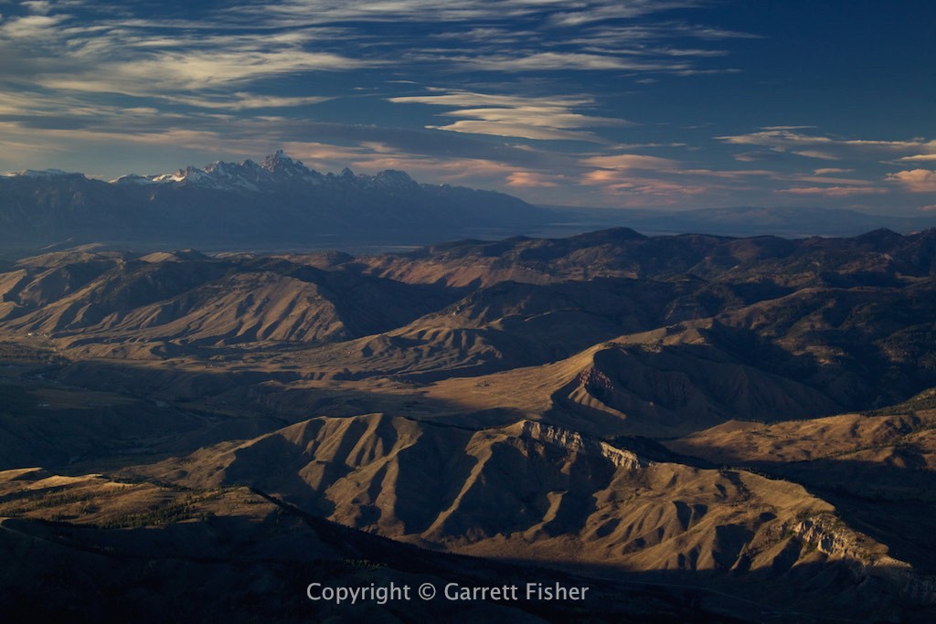
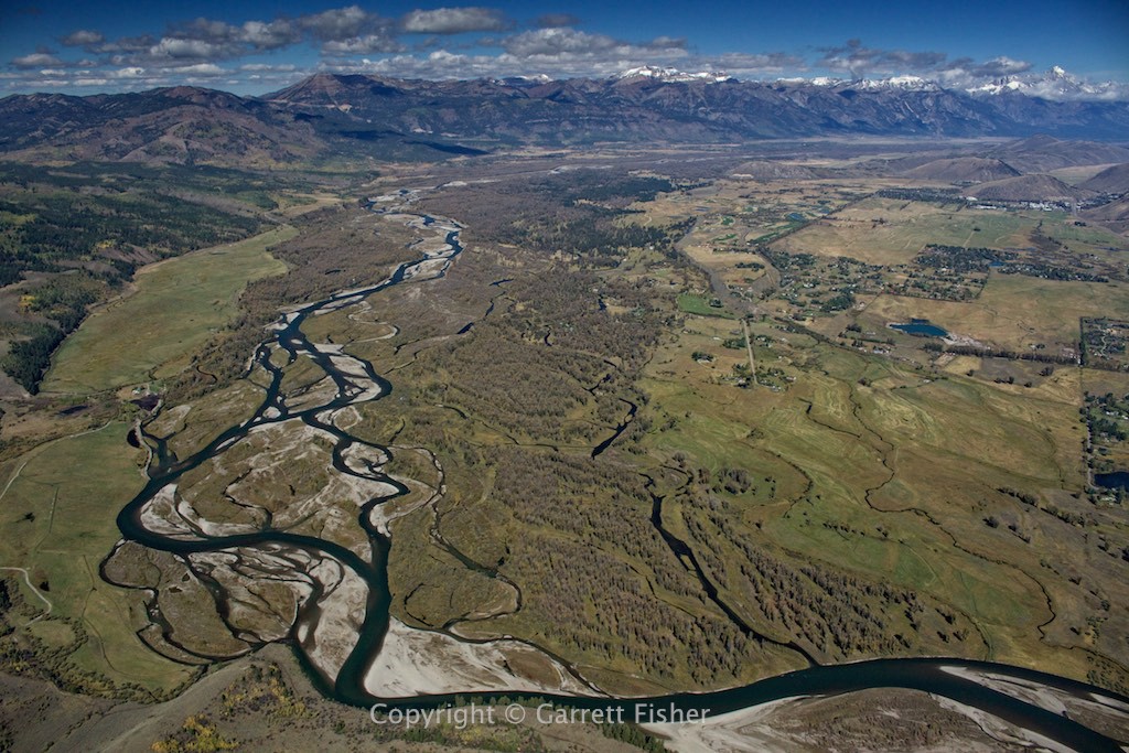
After four days of flying to Colorado and back in a short period, I was inclined toward a break. Then the first snows hit the peaks on September 18th, and that set off a wave of panic. I was 95% done with photographing all of the glaciers of Wyoming and Colorado, needing just 3 more in northern Wyoming. Now the snows were coming, and the glaciers would get buried. So I set off on an ambitious flight plan that would take all day: north through Jackson Hole to the eastern Absarokas, east to the Bighorn Mountains, then southwest back home. The whole affair took 8 hours.
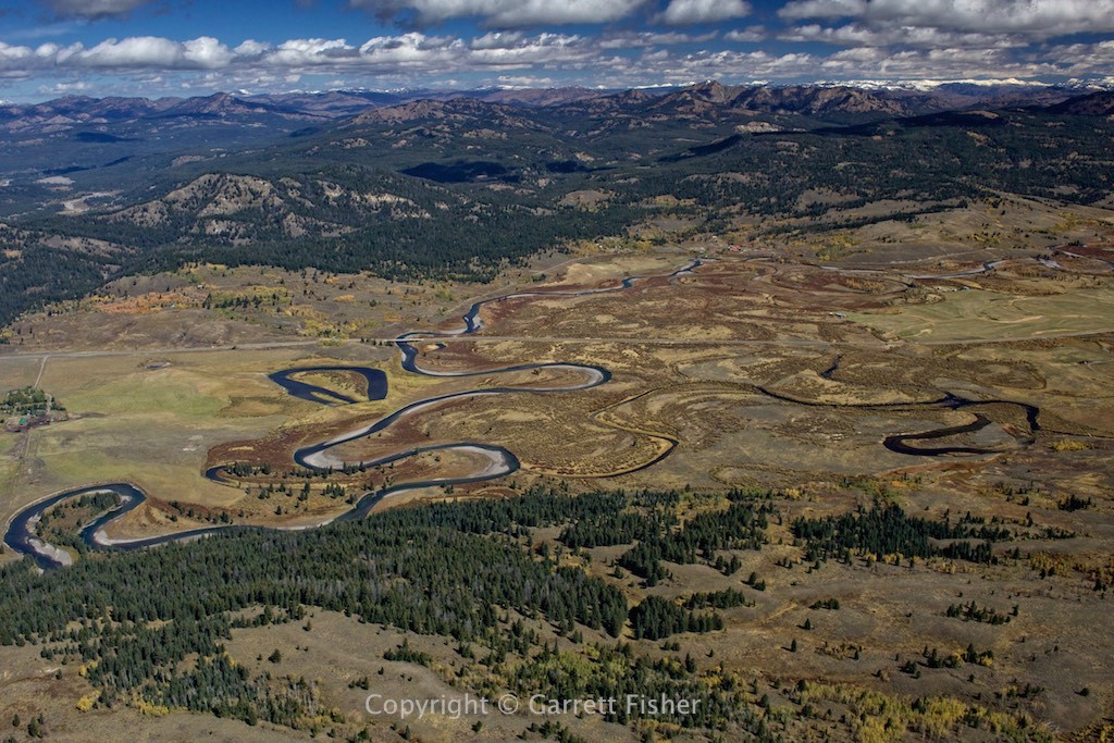
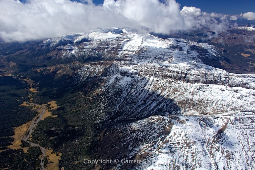
I figured I’d knock out a few birds with one stone. I needed to photograph the headwaters of the Yellowstone River (not actually in Yellowstone, ironically) as well as the eastern mountains of Yellowstone. That was easy enough, given that the first glacier I needed was not far from the two destinations I just described.
Wind. That is always another story. Things were quiet in Jackson Hole and even in the Absarokas so long as I was in the distant shadow of the northern Teton Range. The moment Yellowstone was to my west, an unholy fury let loose, creating a mix of clouds and wind over the highest reach of the Absarokas. It was interesting, to say the least, to wander around the clouds at 12,500’, avoiding smacking into the peaks, and also avoiding getting sucked into a veritable funnel on the east side of the range. There quite possibly would be no coming back – not in a mortality kind of way – just the inability to outclimb the downdrafts and get back to what I was trying to take pictures of.
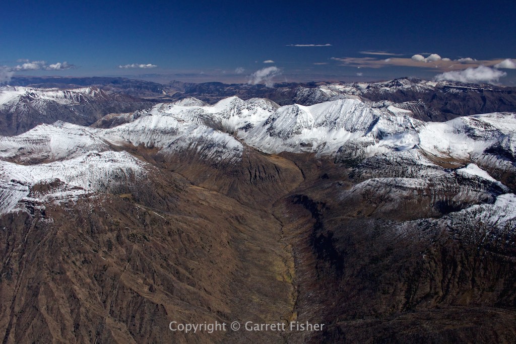
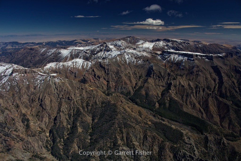
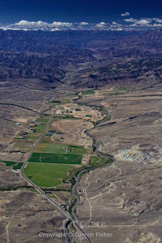
Sure enough, I broke my groundspeed record at 13,500’ over Galena Glacier in the Absarokas: 150mph in a Piper Cub. Nuts. Granted, it is somewhat known that the eastern entrance to Yellowstone is a topographical funnel, shoving insane winds into Cody as they come down off the terrain and head into the Bighorn Basin. Well, today was no exception. 10mph winds in Jackson, and 60mph at altitude near Cody….unreal.
As I approached Cody, WY airport for fuel, I called automated weather a few times: “11 gusting 21 knots” was the answer every time. Hmmm… Cody is way too erratic for that. It also was 11G21kt observed during my morning flight briefing. Sigh…. This will be fun as usual.
The landing was a strange experience, as the winds were switching direction rapidly, with extreme speeds (windsock was horizontal). The airplane was basically pivoting off the tires on the ground until I could get it settled down and quit flying. The taxiing process was slow, as the gusts were so extreme that the wind was trying to get under the right wing and, well, tip the airplane right over. Thankfully I got through the fueling process in one piece and took off.
Insultingly, winds went calm in the desert 20 miles east of Cody. I am told that is normal.
The Bighorn Mountains were incredible. I had flown over them 15 months prior, though I had avoided Cloud Peak at that time, which is over 13,000’ in elevation with a glacier. It is unquestionably an uninhabited place, which is no good for engine loss (we have been through this lecture before). I must say, though, I was surprised by the severity of the terrain and its almost spiritual beauty.
The trip home took awhile. 200 miles of desert, headwinds, and terrain. Things were okay at first: no bumps, and gentle winds. When I rounded the bend at the Owl Creek Mountains, ground speed went to 40kts from 80kts. Fiddlesticks. 40 knot headwind at 2,000’ above the ground! With sunset approaching, limited fuel options, and at my 7th hour of flying, I just wanted everything to go exactly the way I wanted. Well, that was not happening!
As I suspected, once I cleared the pass at the northern end of the Wind River Range, groundspeed came up to 65 knots. The terrain over Dubois, WY is another funnel. There isn’t much one can do about it; though, I was happy the headwinds died down.
The rest of the flight was pleasant with some fall colors and nice terrain contrasts. As I flew past the Gros Ventre Range, I said to myself, in a moment of exhaustion: “There is no way in hell I am going to get the Montana glaciers. Its just too much.”
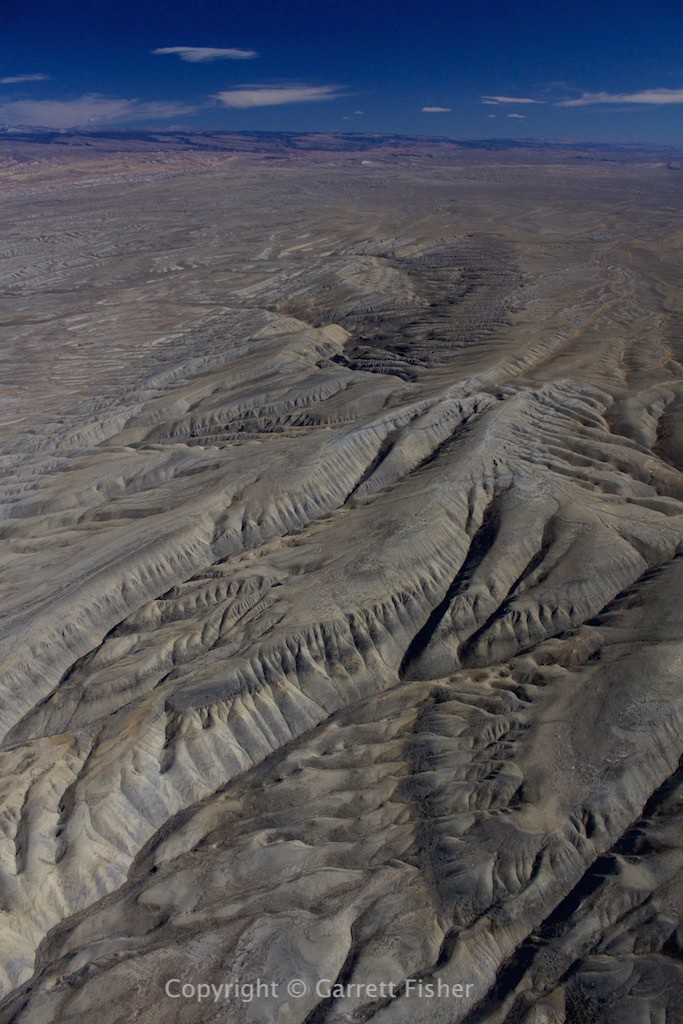
There is a glacier hiding in here somewhere…. now if only I could find it.
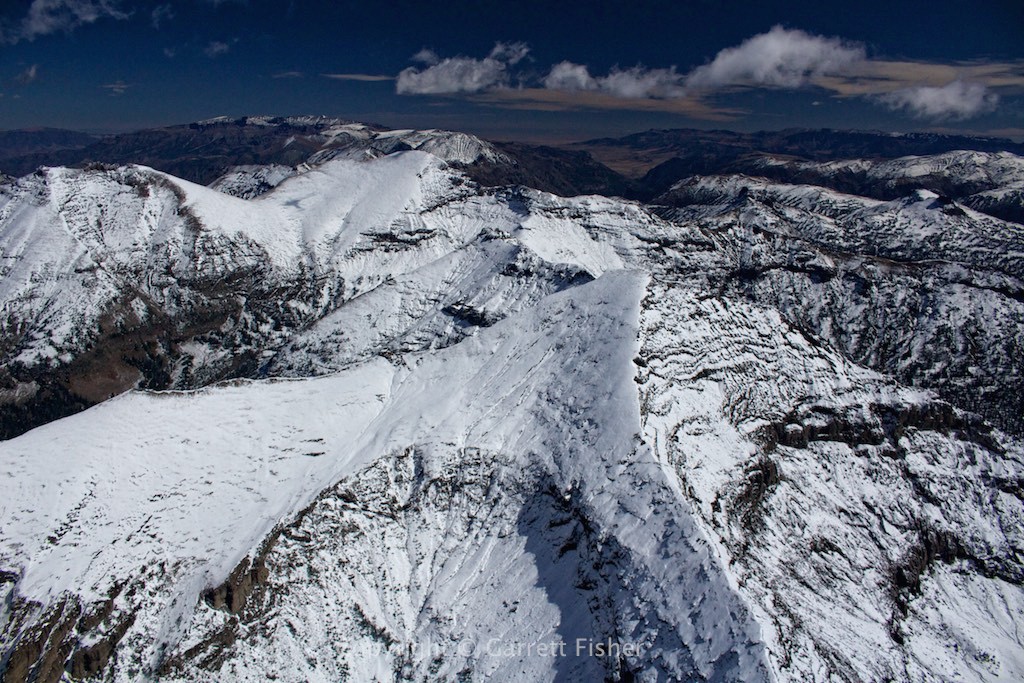
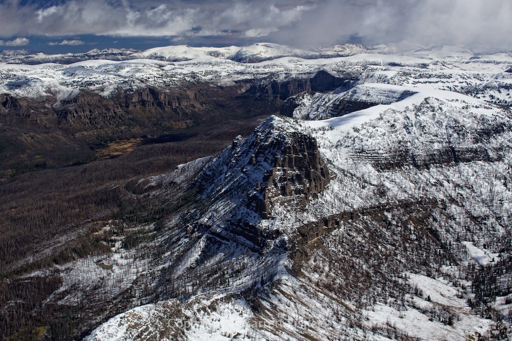
Eastern boundary of Yellowstone, looking west.
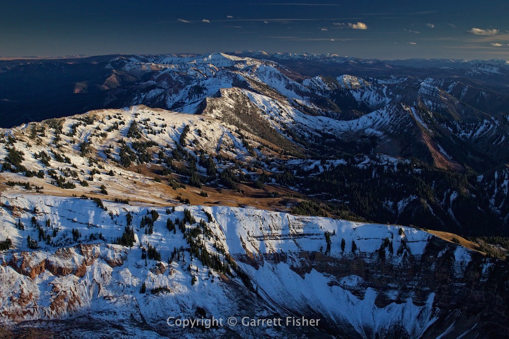
Absarokas, looking east toward Bighorn Basin.
Doing 150mph ground speed while taking this photograph.
Looking back at the topographical funnel coming out of Yellowstone into Cody.
To make matters worse, the funnel blows through this secondary one. The Cody airport is hiding on the other side of the funnel.
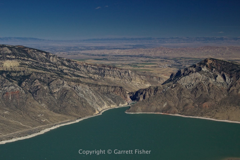
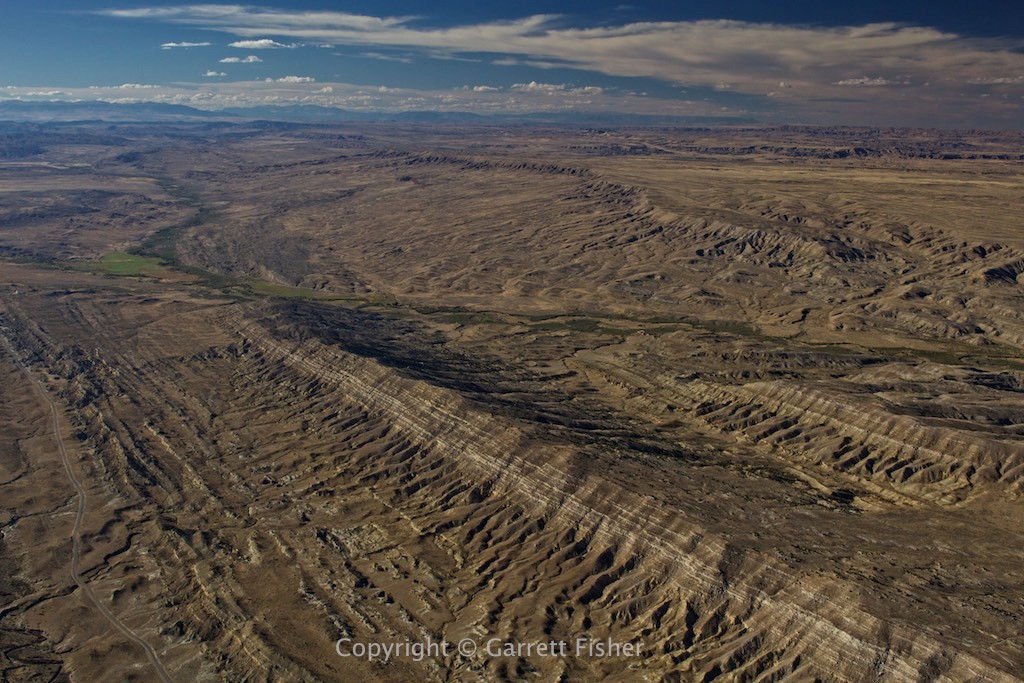
20 miles east of Cody. No wind. What an insult….. it *should* be windy here.
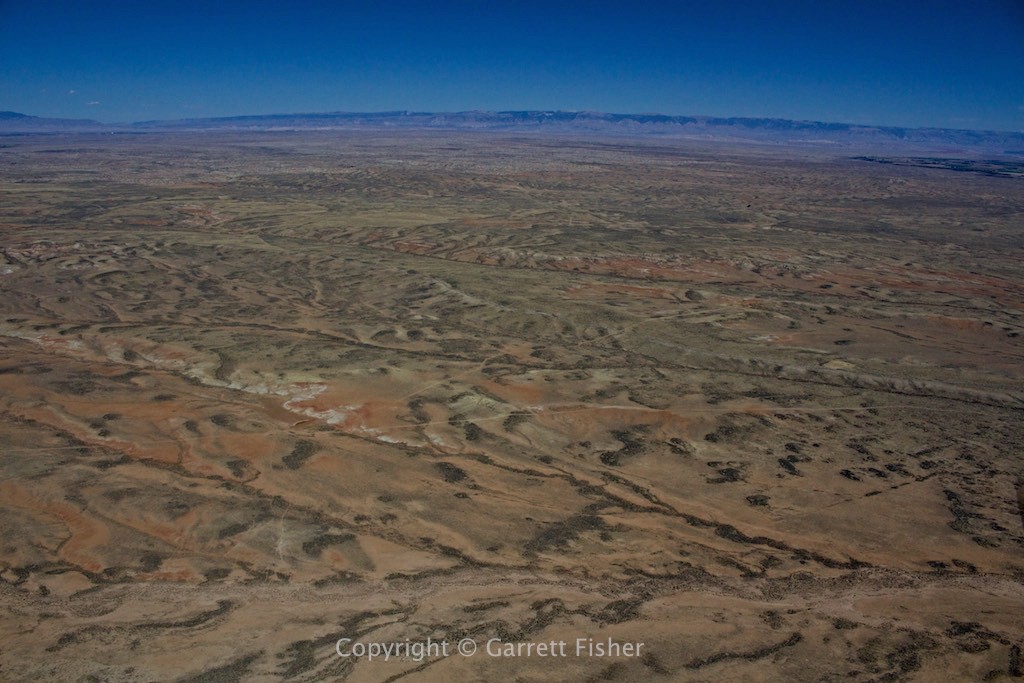
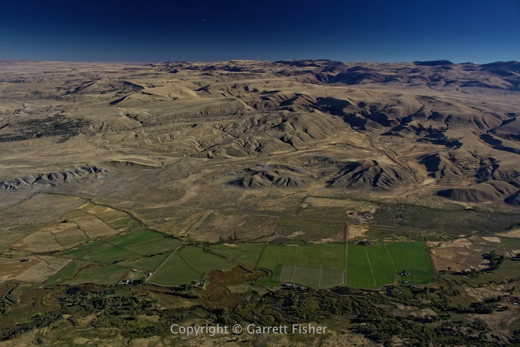
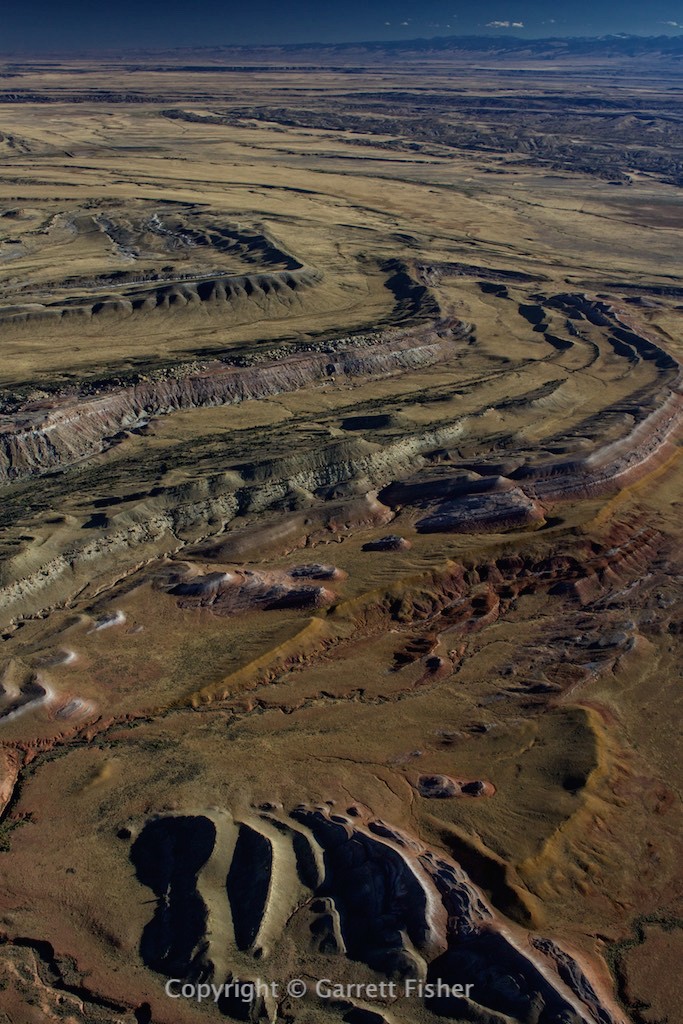
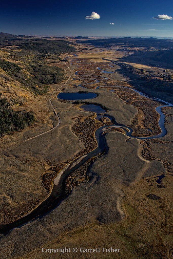
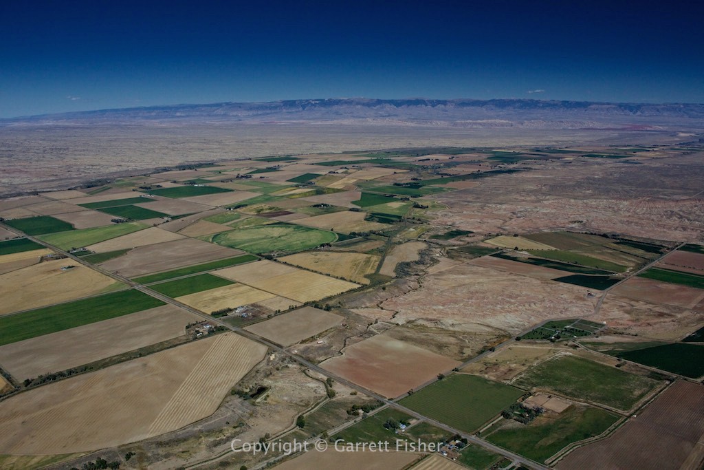
Water is clearly important. Bighorn Basin.
Western ascent up the Bighorns.
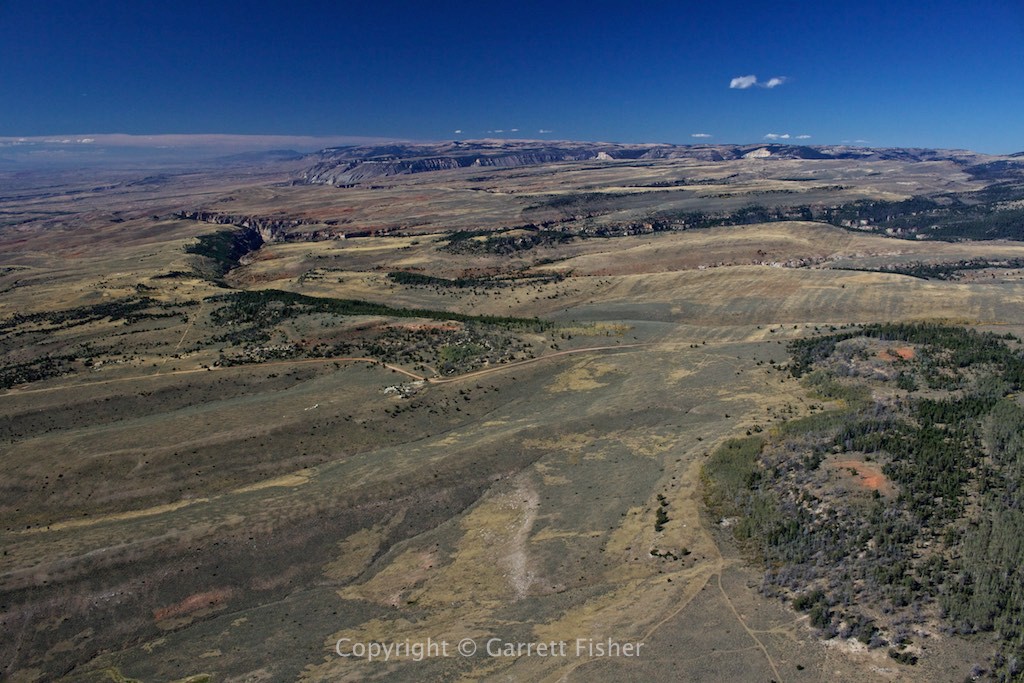
Clearing timberline (roughly 10,000′). See that menacing terrain? Heading straight in there…..
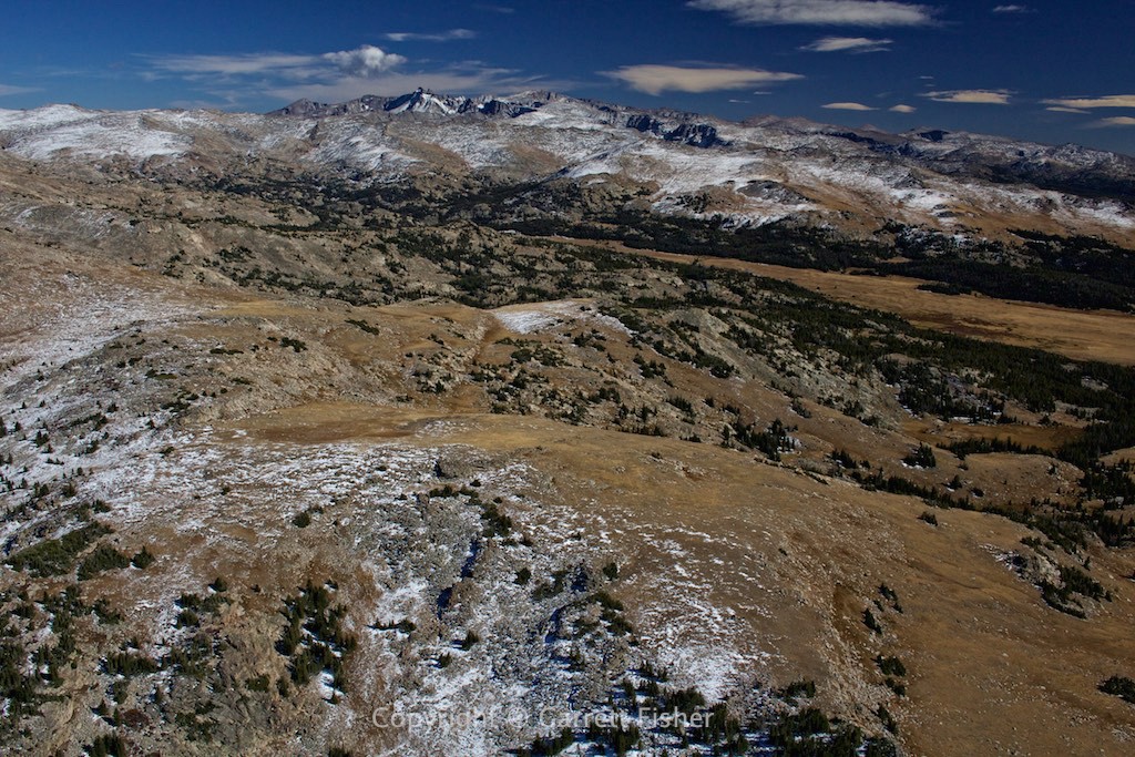
Cruising altitude of 13,500’…. looking north.
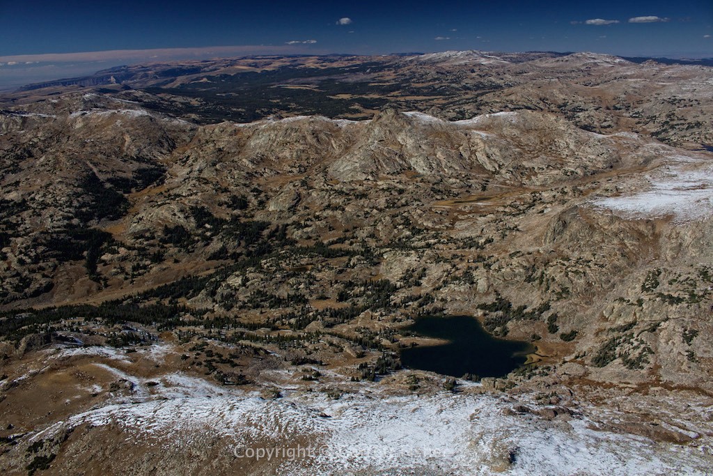
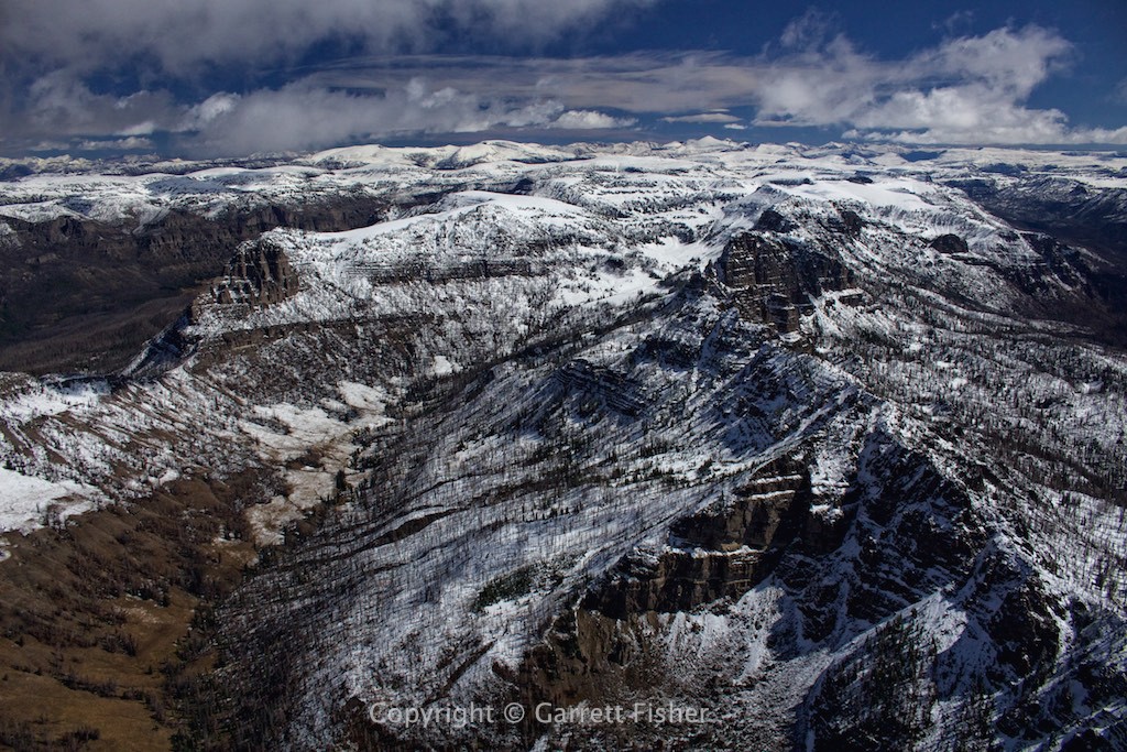
Menacing terrain. A few glaciers hiding in there.
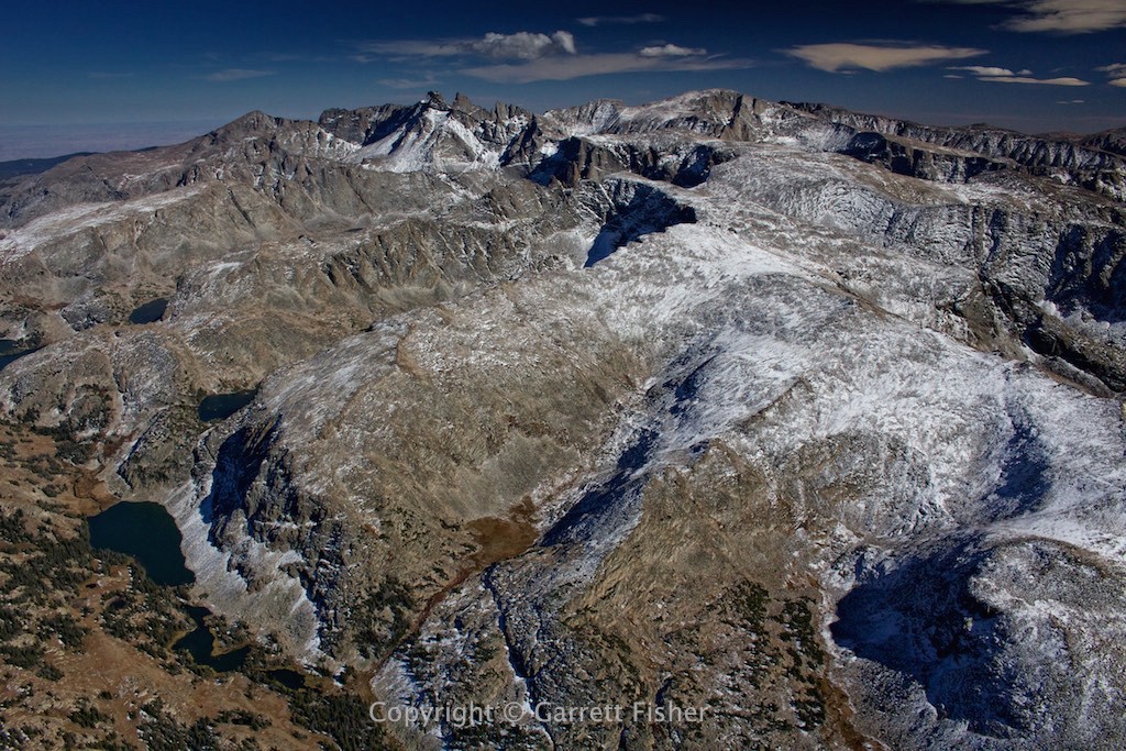
Cloud Peak (13,167′), looking south.
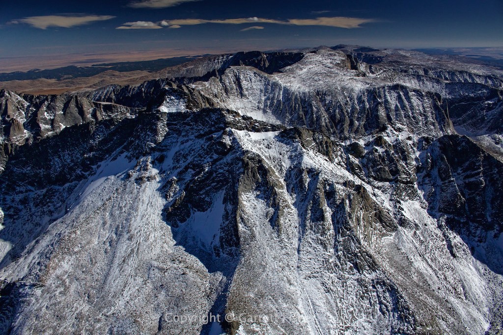
Southern Big Horns. Only 230 miles to home now…..
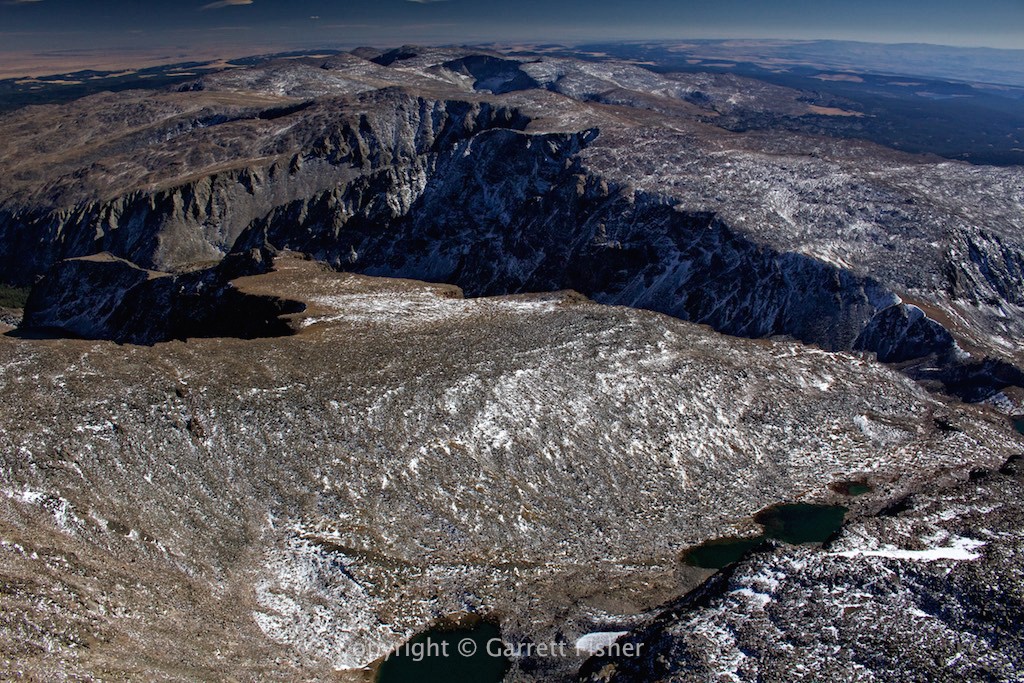
Descending the western side of the range. Trees come back….
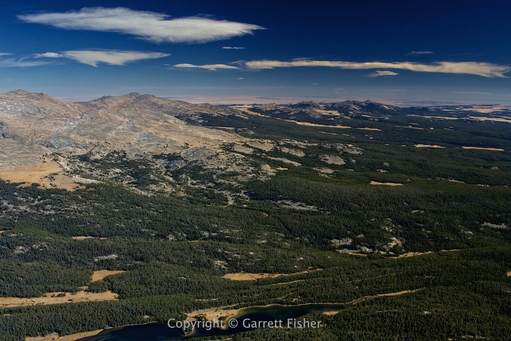
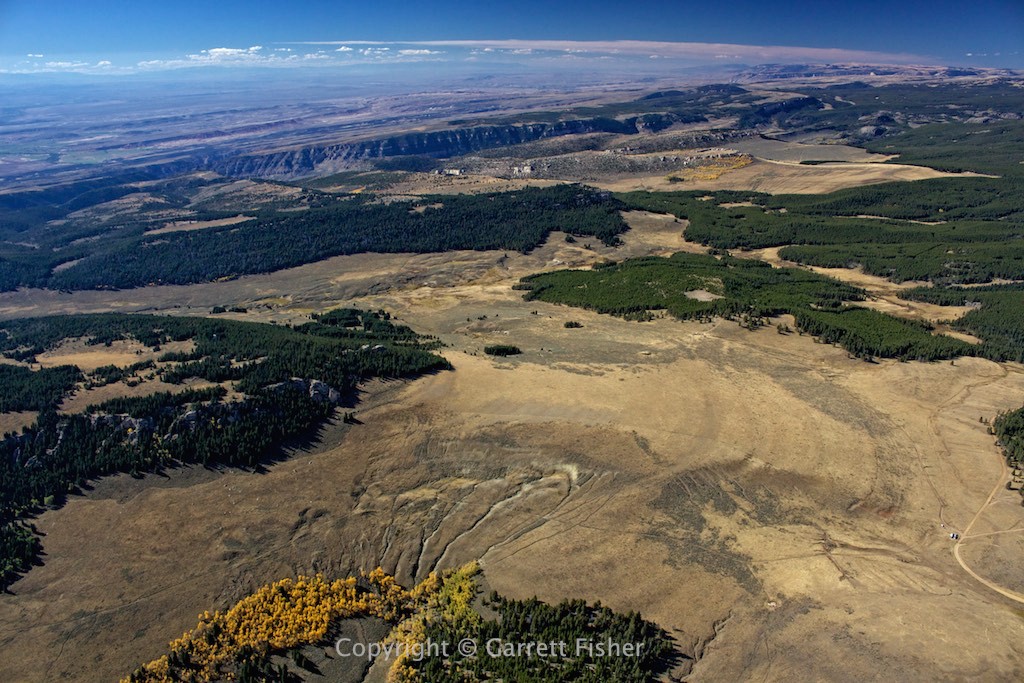
Descending more and the trees are gone….
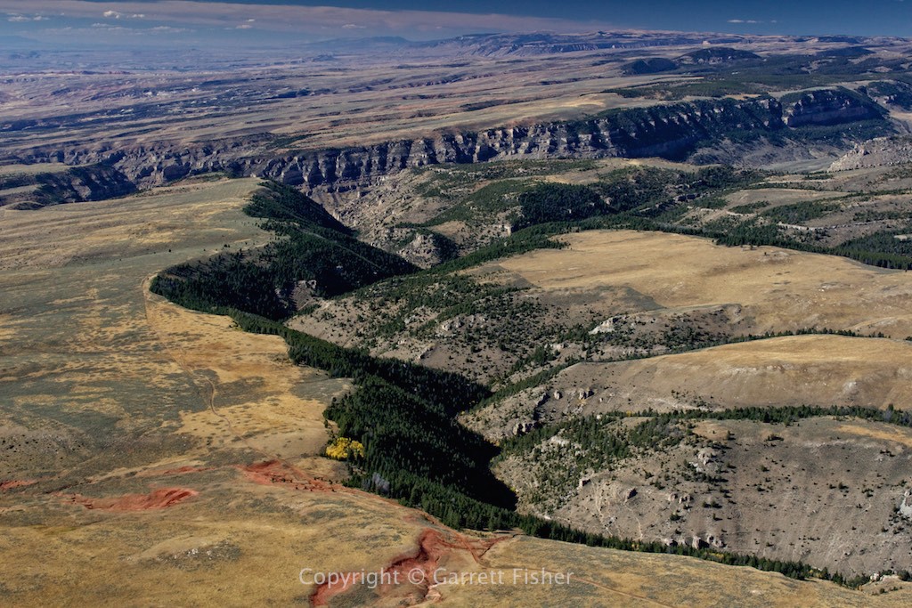
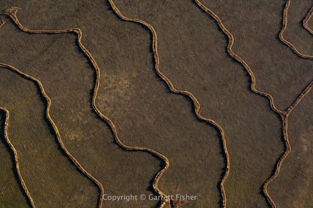
Wyoming is like a giant chia pet. Just add water and it gets all green and fuzzy.
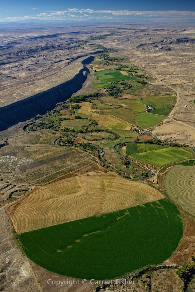
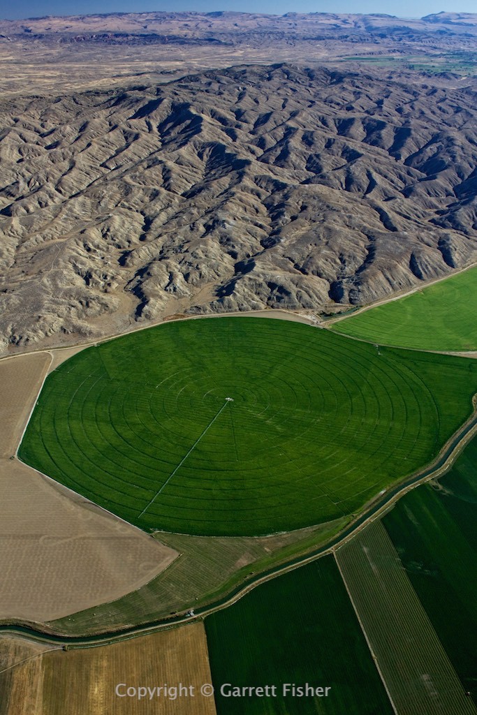
Doing 40 knots ground speed…..sigh…. I am getting a bit sick of this today.
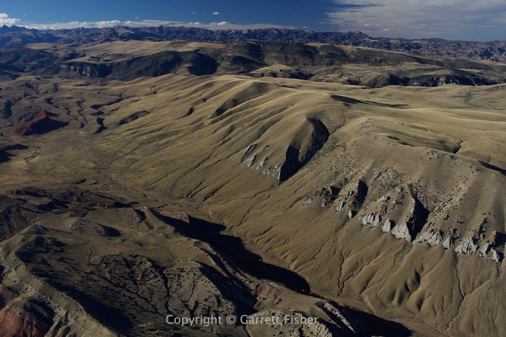
The audacity to add beauty to my misery!
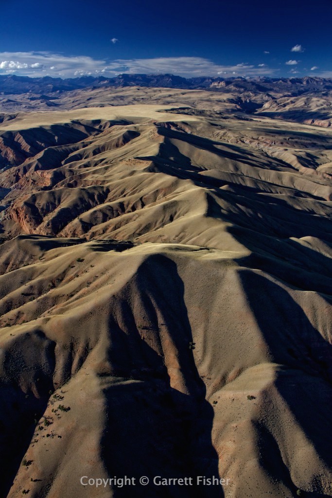
Northern Wind River Range. Up to 60 knots now!
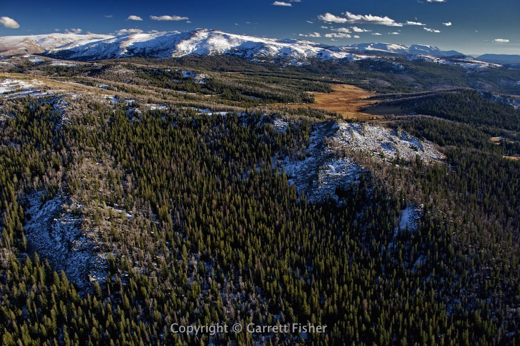
Gros Ventre Range. There is no way I am doing that Montana project. Too ambitious and I am tired…
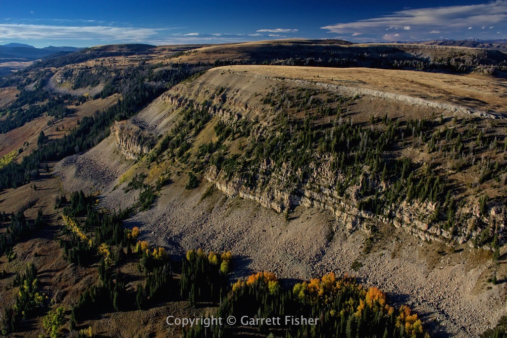
Looking back toward where I went north 8 hours prior. Sigh, what a day!
