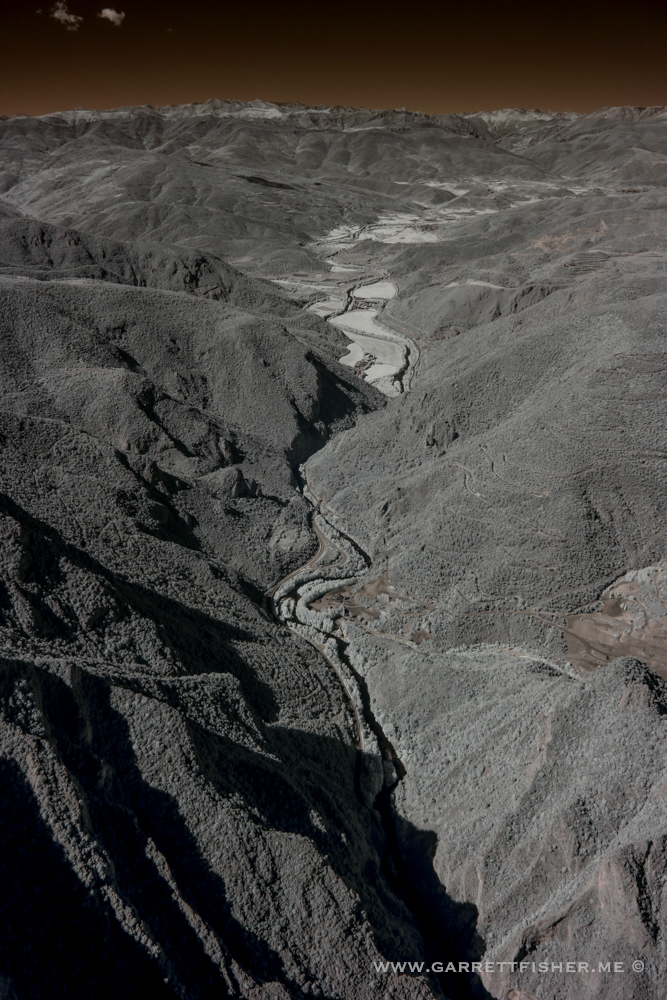
I was going to fly to Provence to photograph rolling fields of lavender, and the weather bombed out. Winds were extreme in the South of France, though it was otherwise pretty in Spain, so I decided to head west and see a sliver of the Catalonian Central Depression and Monegros Desert that I had missed before. It turned out to be a long flight with 4,000 photos taken, so I was good and worn out for my binge flight I took the next day to Provence. Stay tuned for those pictures.
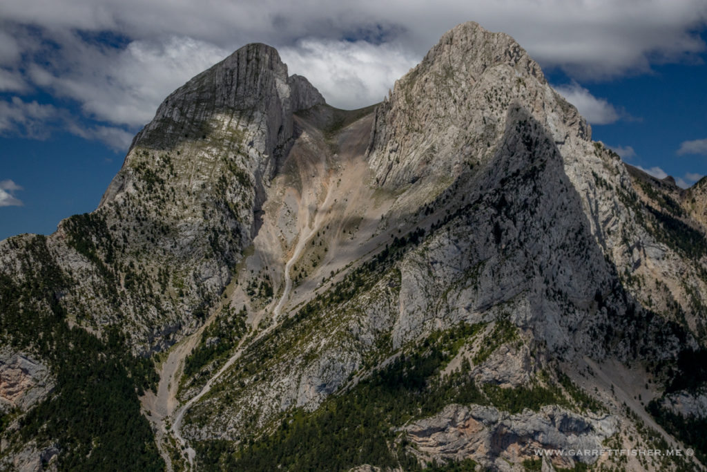
El Pedraforca (2.506m), from below.
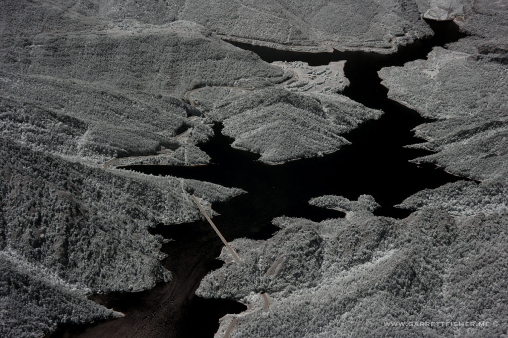
Pantà de la Llosa del Cavall, Infrared
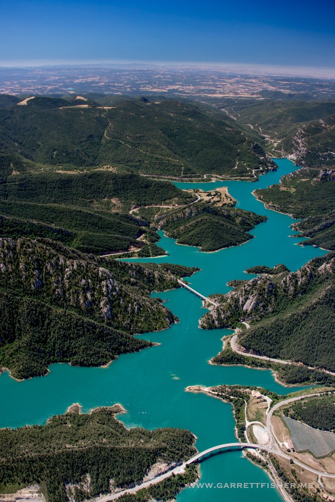
Pantà de la Llosa del Cavall, not Infrared
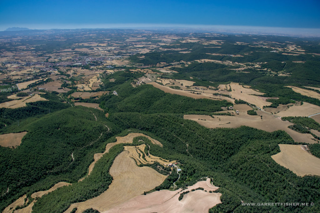
Solsona in the center left, Montserrat on the left horizon.
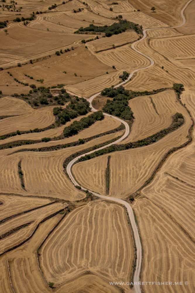
Wheat field – is this how crop circles start?

Harvested wheat with a squiggly road.
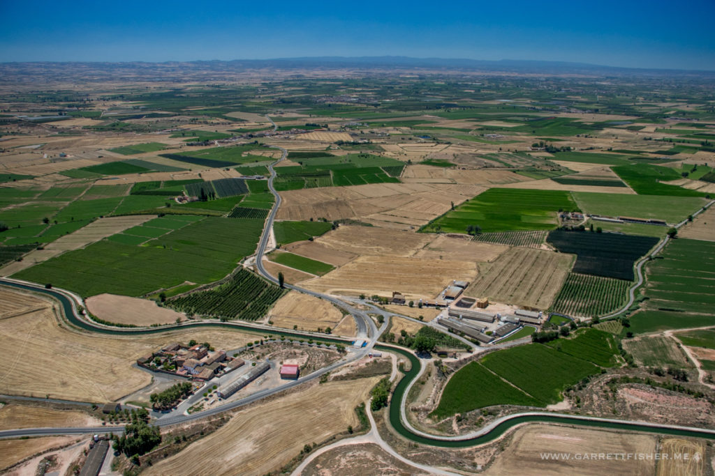
Intersection of drylands and irrigated farmland, Catalonian Central Depression. Note aqueduct.
La Fuliola

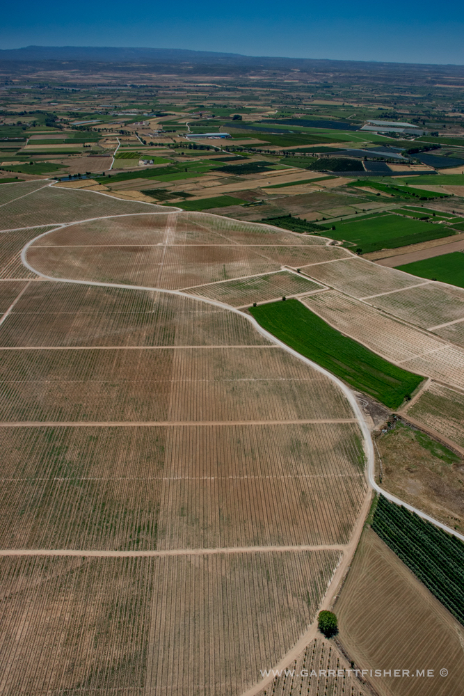
Vineyards or something. Whatever it is, its dry and hot.
Peach orchard.
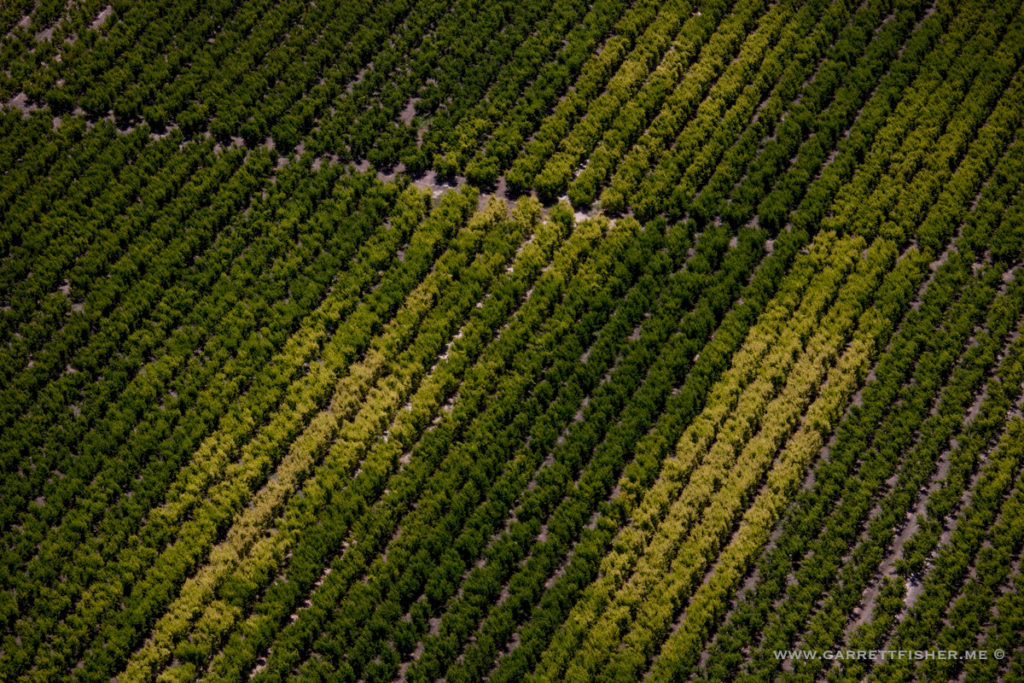
Road through peach orchards.
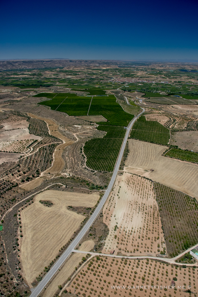
Peach orchards, Aitona. I photographed these full of purple flowers in March.
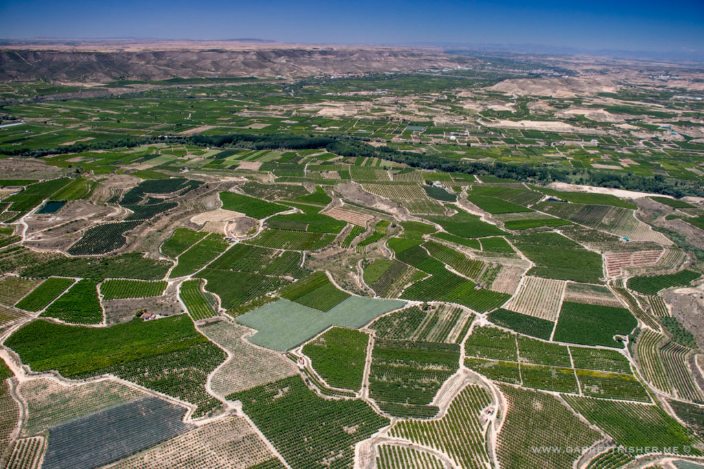
Embalse de Ribarroja, Ebro River. Happens to be Catalonia left, Aragón right.
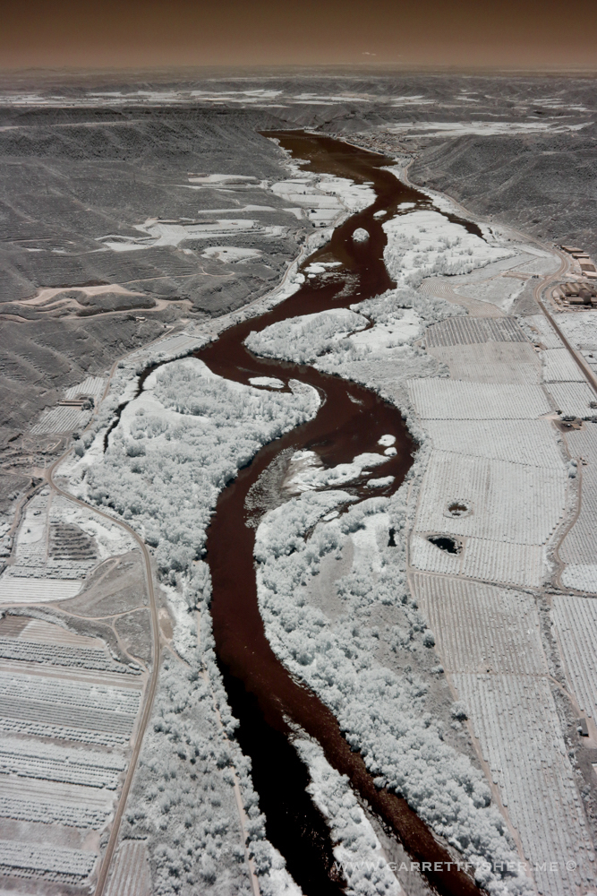
Same thing, not in infrared.

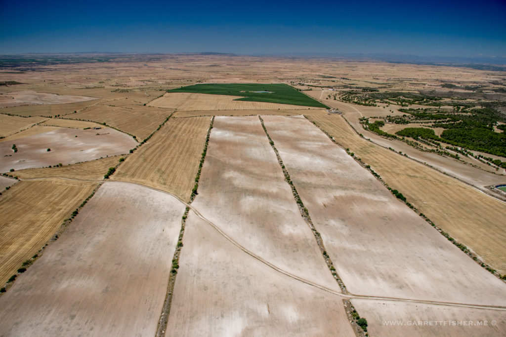
Mequinenza Reservoir.
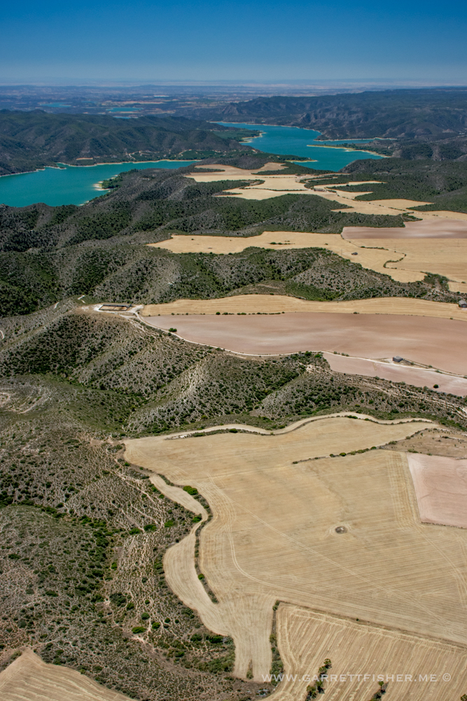
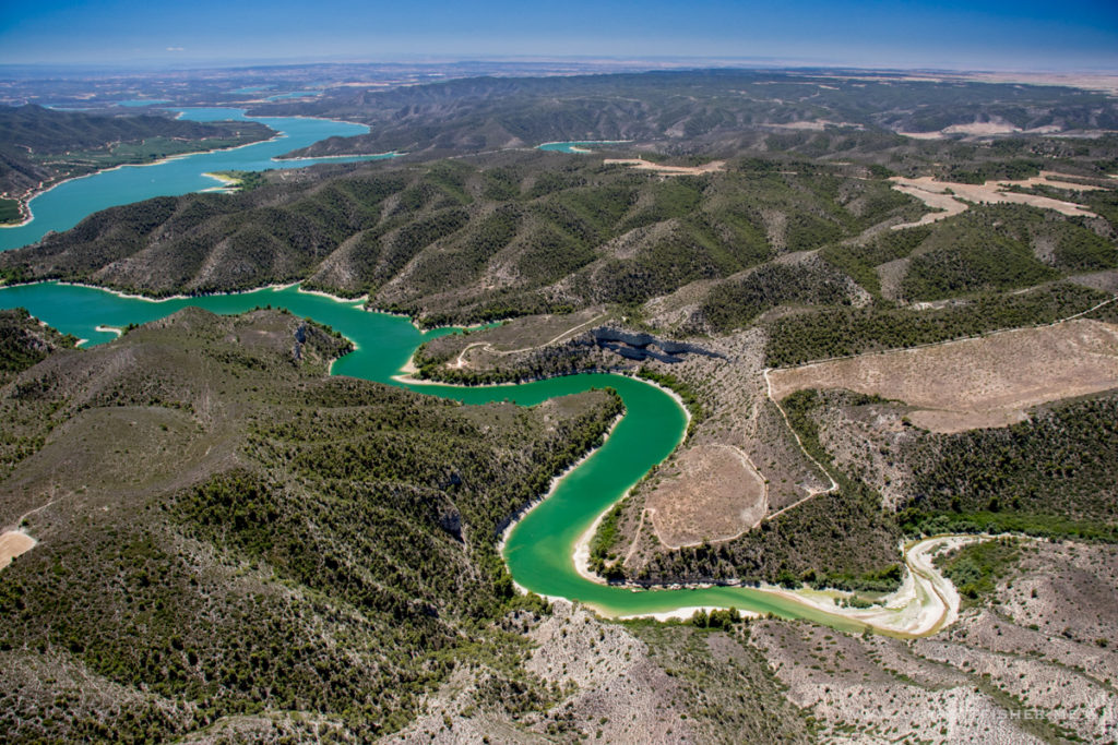
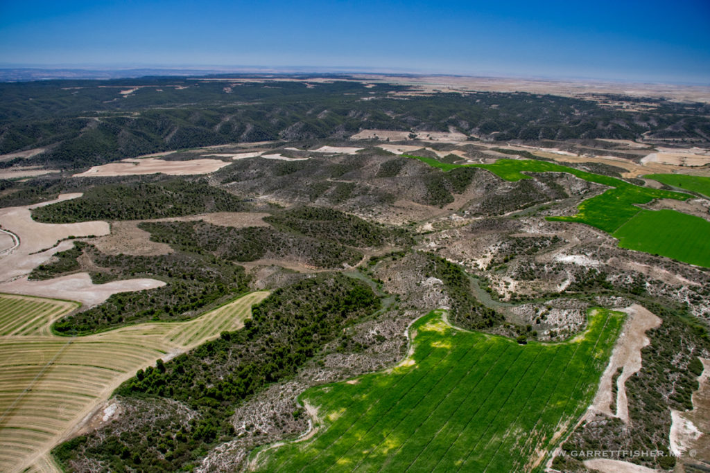
Arroyo de Valcuerna
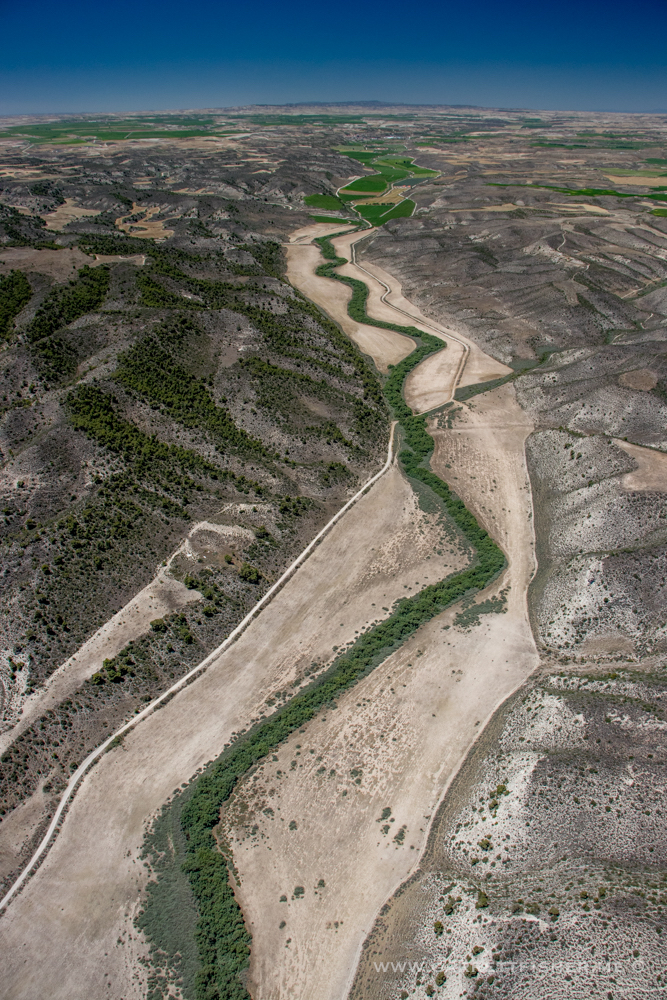
Monegros. I truly love this place, even if its a scorned hellscape.
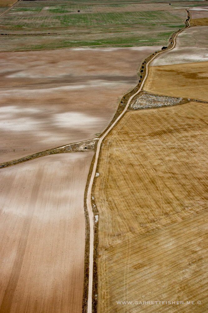
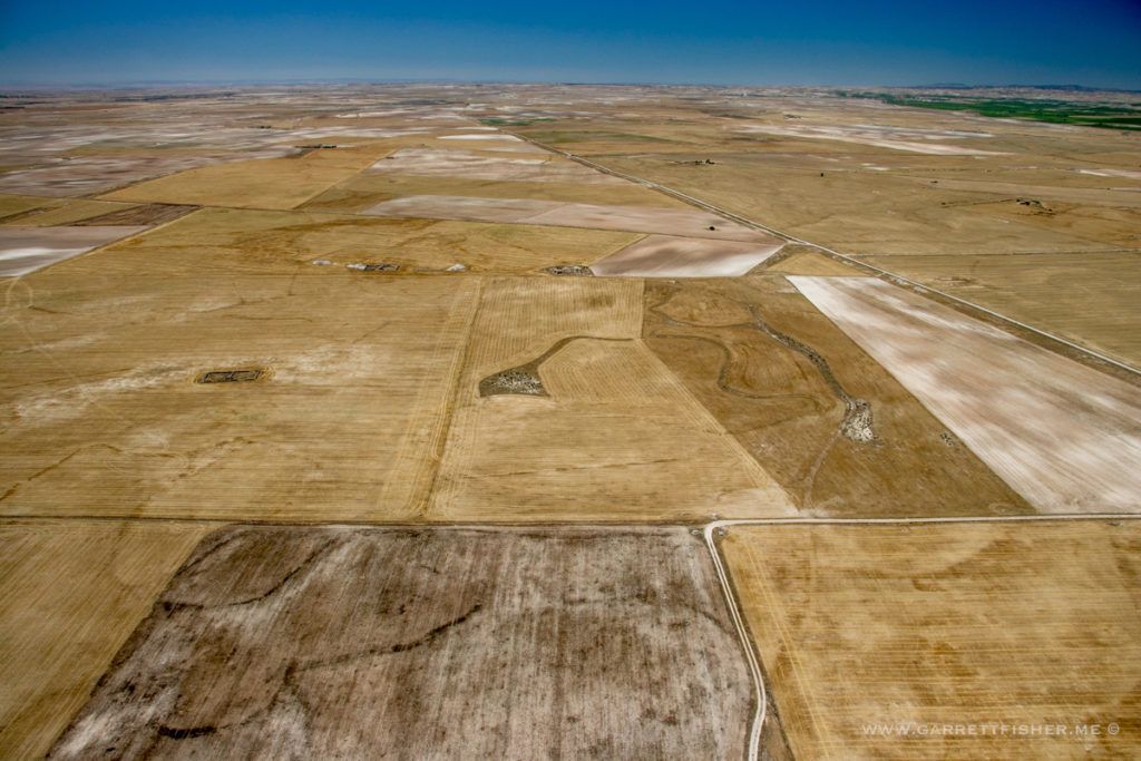
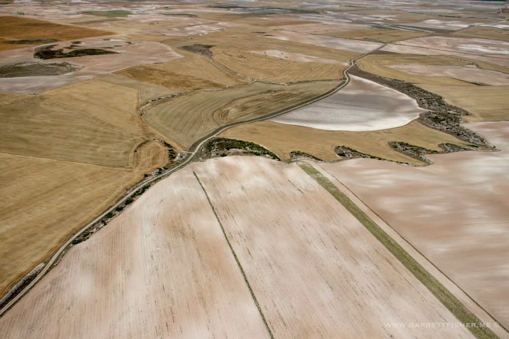
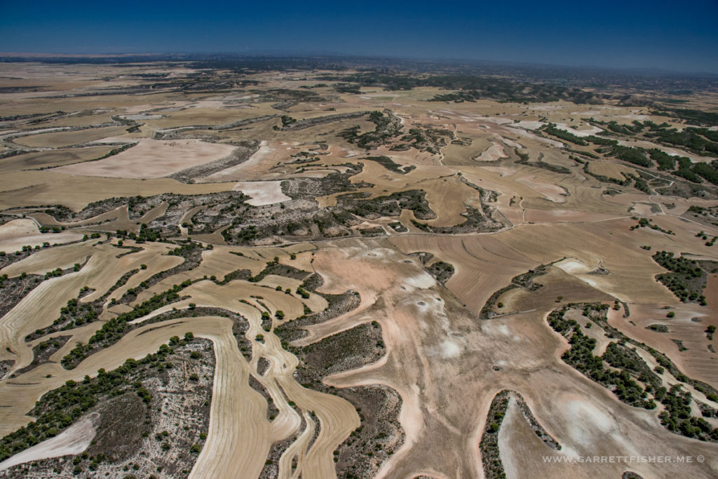
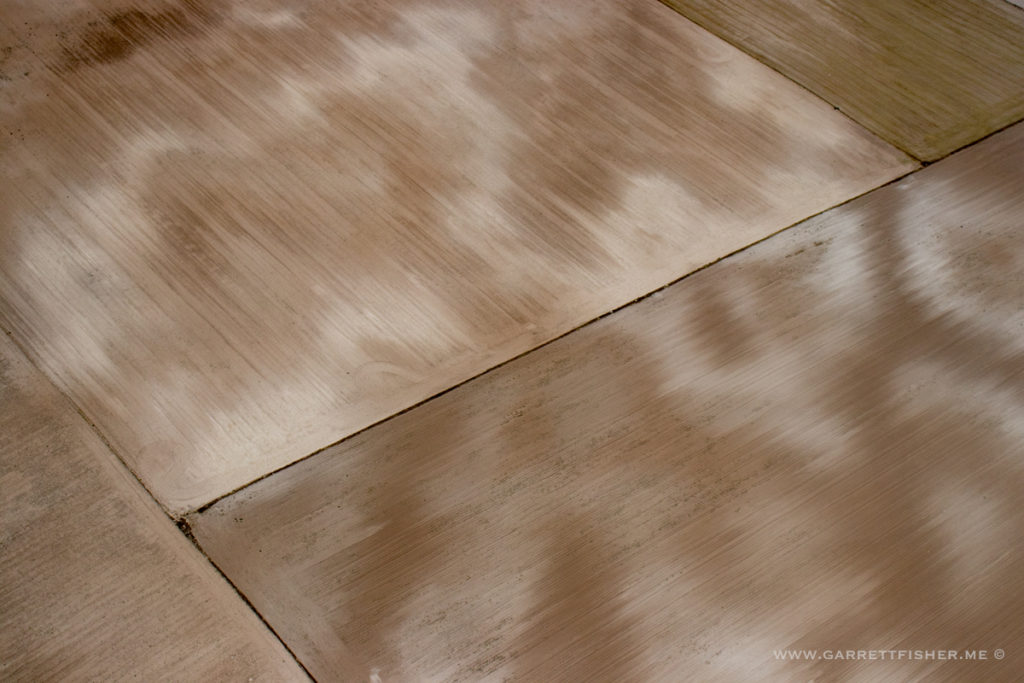
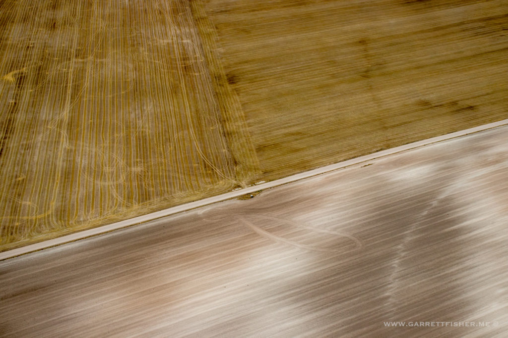
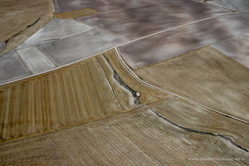
Bujaraloz, with irrigated corn. Quite a contrast.
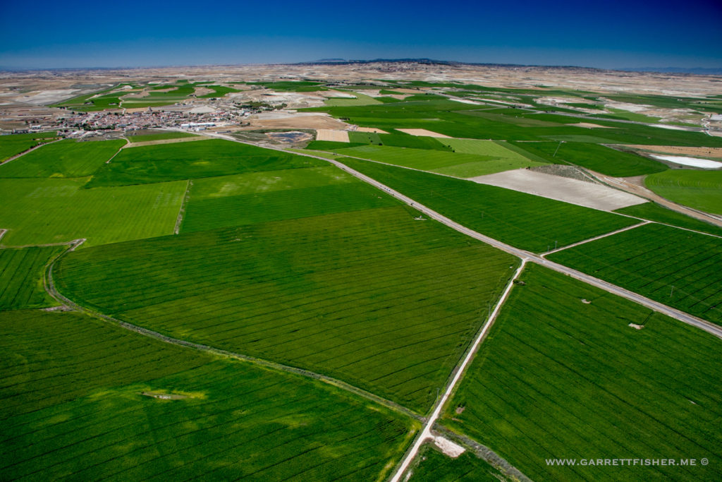
Somewhere in Aragón.
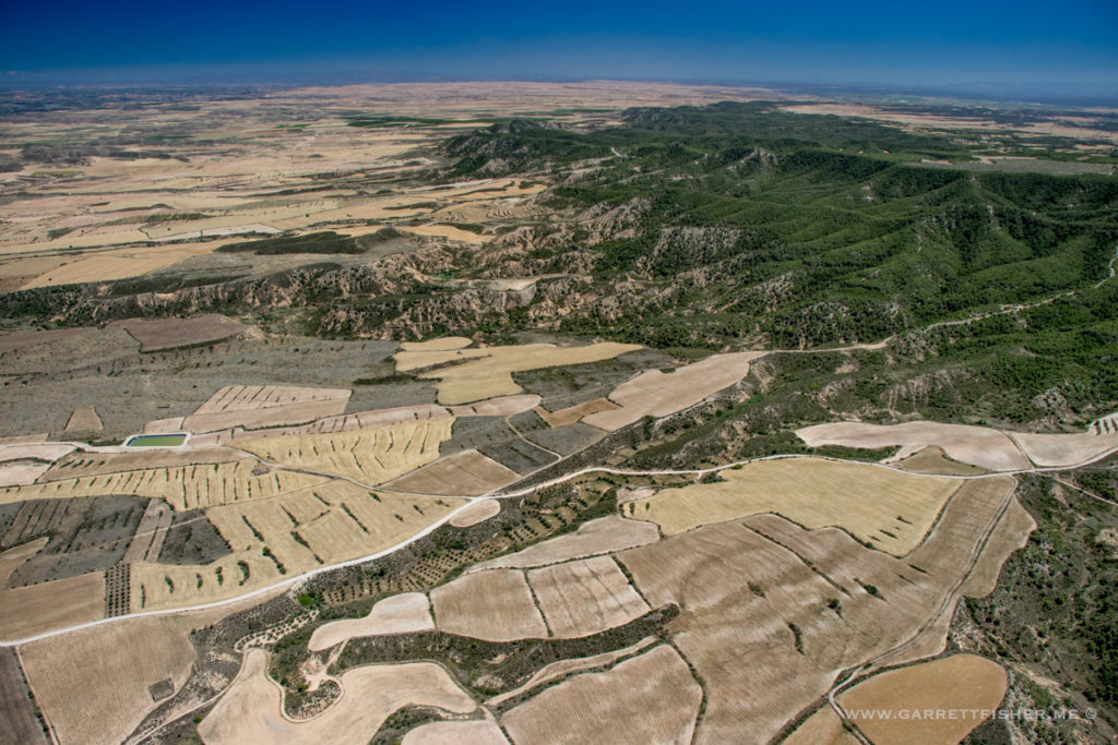
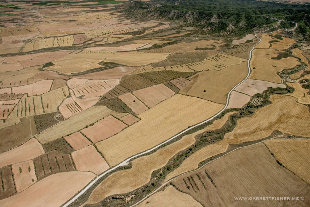
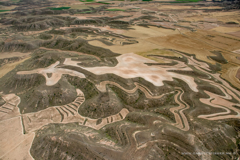
Near Lleida

Reservoir near Santa Ana. It is more or less the Catalunya/Aragón border again.
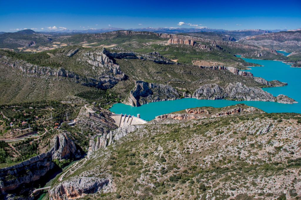
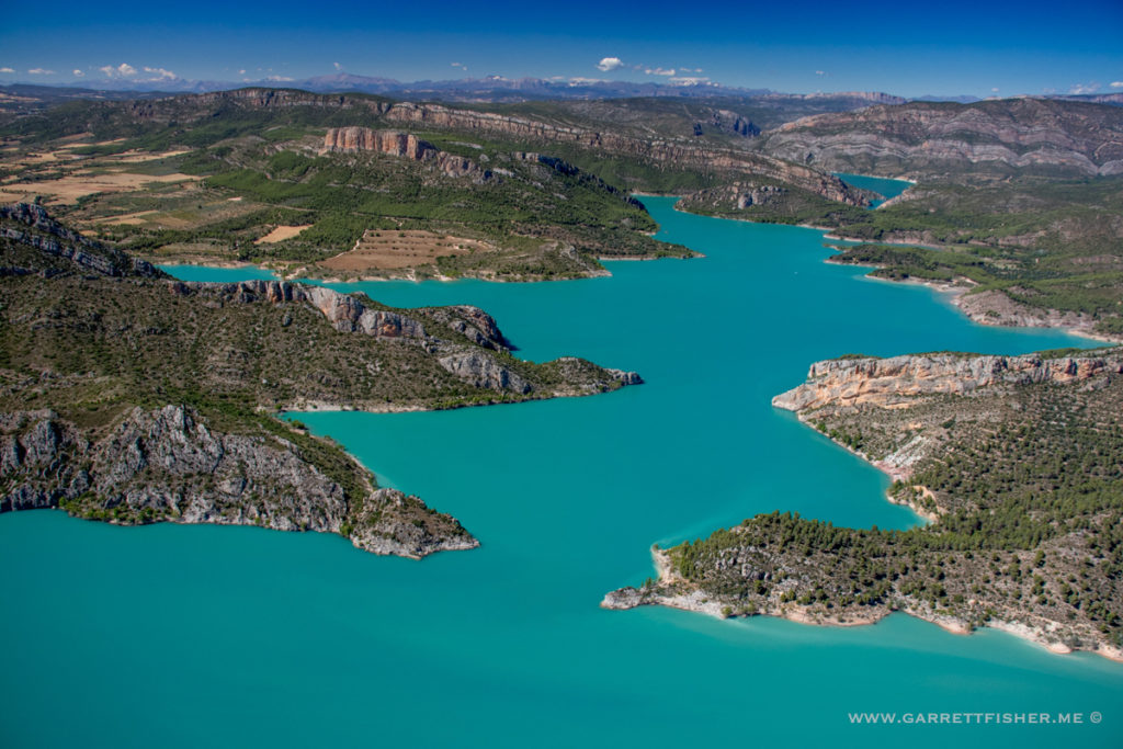
Serra del Montsec
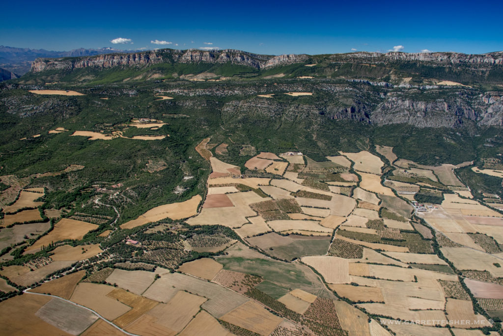
Pantà de Camarasa
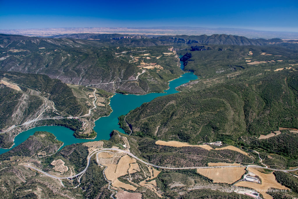
Embassament de Terradets, infrared.

Serra del Monstec, infrared.
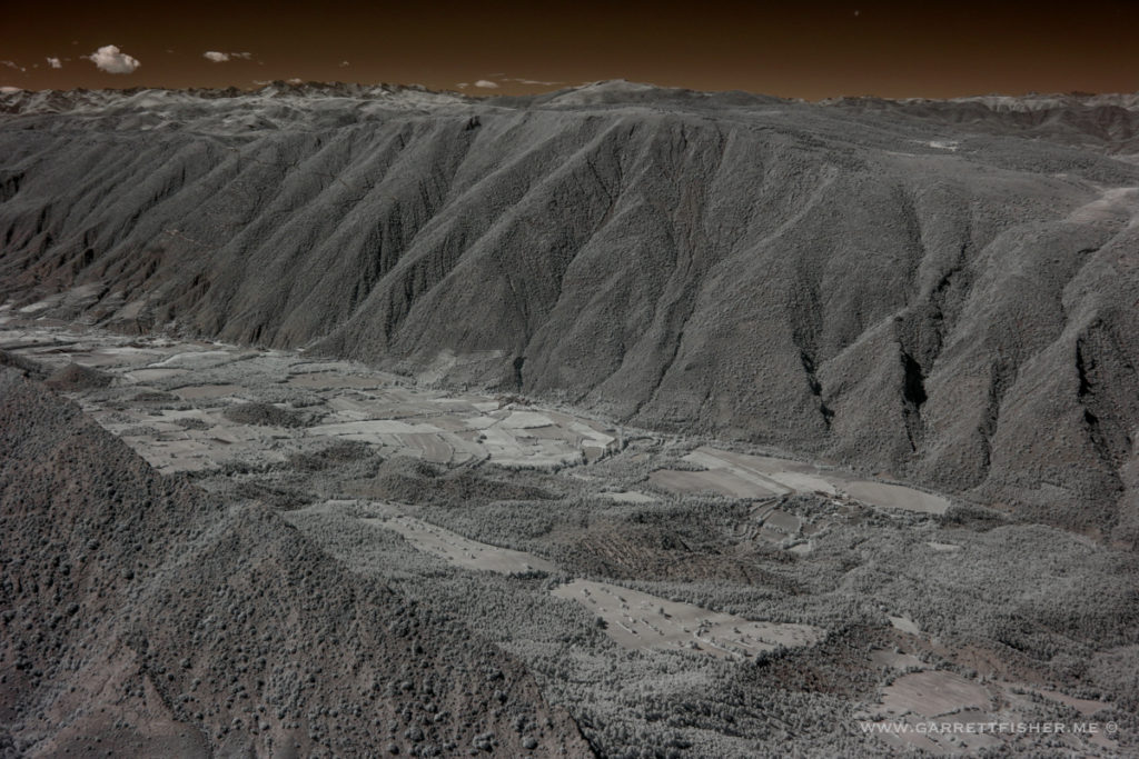
Riu Segre, infrared.
